

Emerald Lake Trail
View PhotosEmerald Lake Trail
Difficulty Rating:
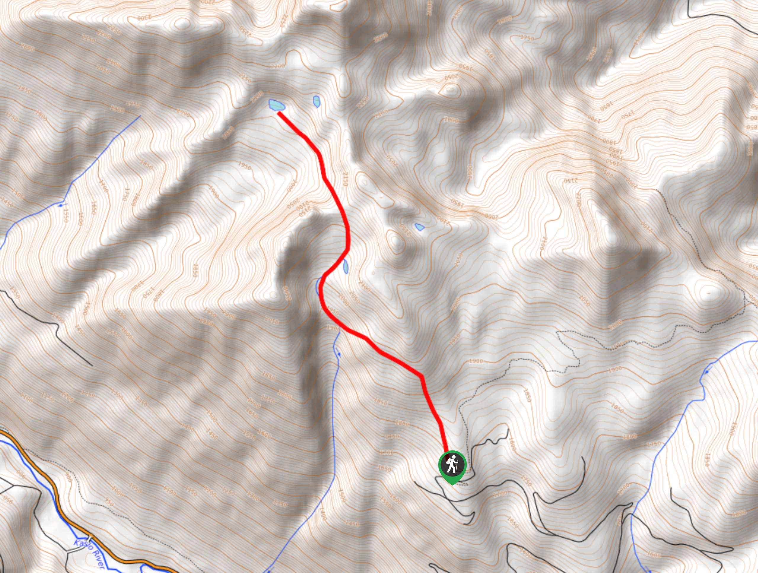
The Emerald Lake Trail is an 5.5mi out-and-back hiking route near Kaslo, BC, that will take you through beautiful forests and over a rugged ridgeline to reach the charming, crystal-clear waters of Emerald Lake. The trail is a beautifully scenic route that also passes by several historic mining sites, making it a fun experience for nature lovers and historians alike. Ensure that you are either confident in your 2WD driving abilities, or make the rough trip in with a 4x4 vehicle to reach the trailhead.
Getting there
To reach the Emerald Lake trailhead from Kaslo, head west on BC-31A for 6.8mi and make a right onto Blue Ridge FSR. Reset your odometer and continue for 0.2mi, where you will keep left through the junction. In 2.4mi, keep left again and continue on for 4.2mi, where you will also keep left at the fork. Continue straight for 0.4mi and keep left at the fork, followed by a right in 0.7mi. After another 0.4mi, park at the end of the switchback and look for the tape marking the trailhead.
About
| When to do | May-October |
| Backcountry Campsites | No |
| Pets allowed | Yes |
| Family friendly | Older Children only |
| Route Signage | Average |
| Crowd Levels | Low |
| Route Type | Out and back |
Emerald Lake Trail
Elevation Graph
Weather
Emerald Lake Trail Description
Although a bit tough to get to, the Emerald Lake Trail is an excellent family day-hike that will take you to a picturesque alpine lake beneath the shadow of Mount Jardine. Setting out from the trailhead, follow the old mining road for 1km before heading up a series of switchbacks. After 1.1mi, you will cross over a creek and pass a small cabin that stands as a remnant of the historic mining operations in the area.
Continue past the cabin and up the creek bed, where you will eventually reach the saddle of Jardine Ridge. Follow the trail down the opposite side of the ridge and over a small boulder field to reach the crystal-clear waters of Emerald Lake. Spend some time exploring this peaceful destination, or simply relax by the water’s edge before heading back up the ridge and down the trail to return to the parking lot.
Similar hikes to the Emerald Lake Trail hike
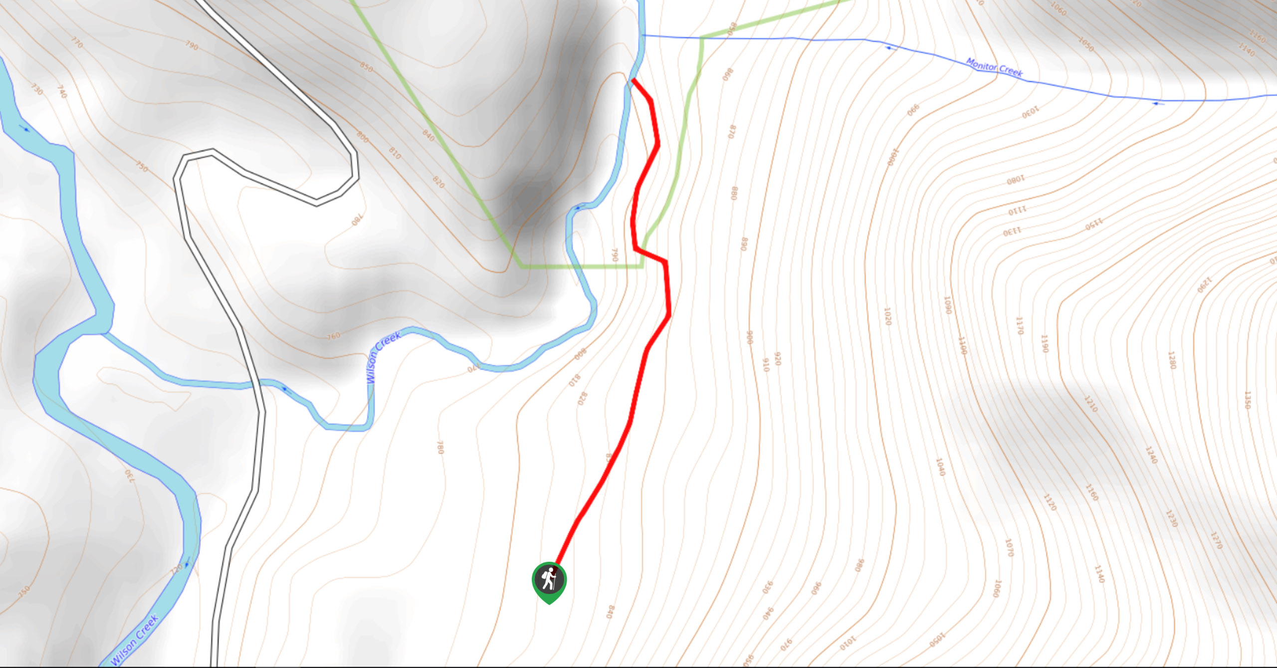
Wilson Creek Falls Trail
The Wilson Creek Falls Trail is a 1.8mi out-and-back route in Goat Range Provincial Park that travels along…
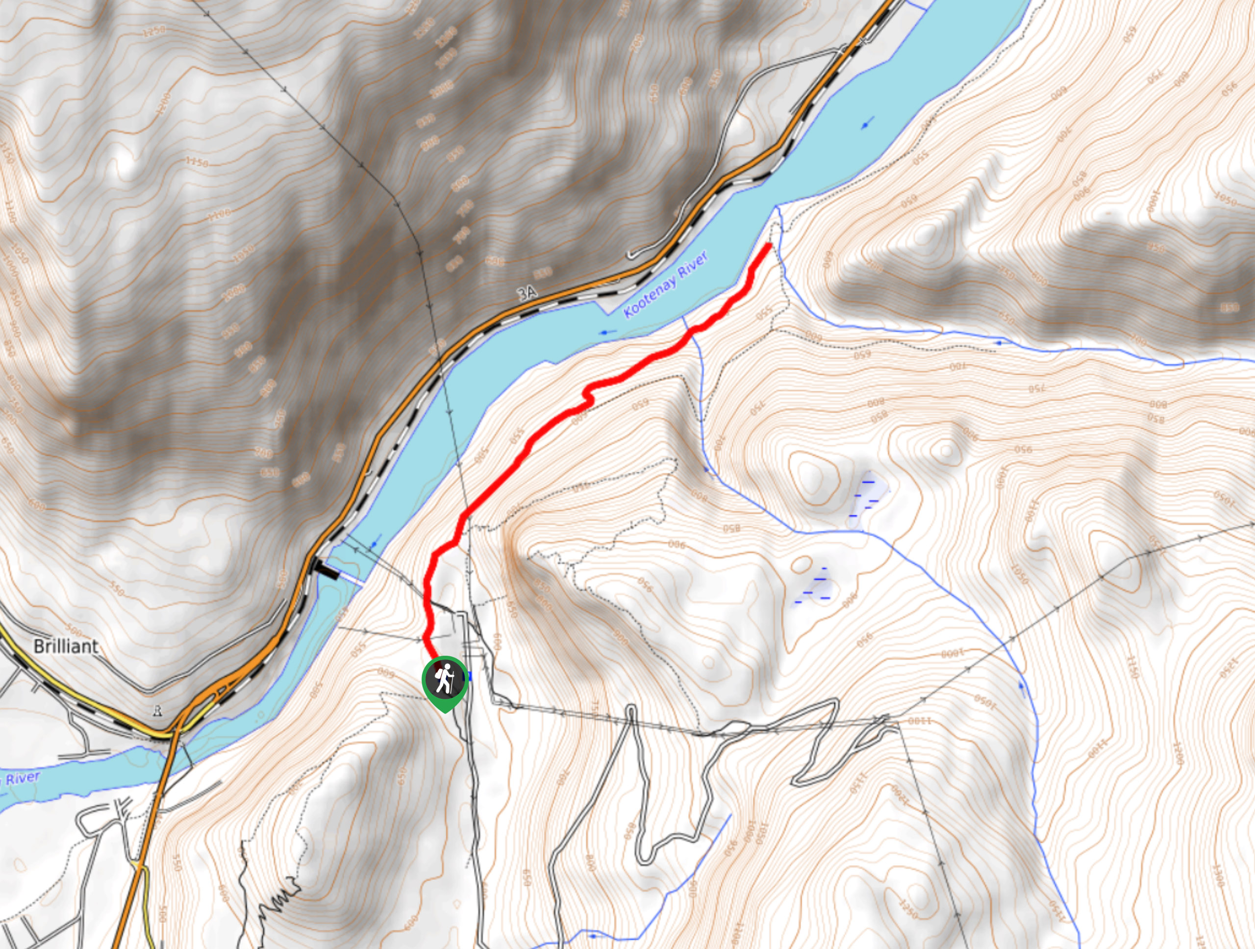
McPhee Waterfalls Hike
The McPhee Waterfalls Hike is a 3.5mi out-and-back hiking route near Castlegar, BC, that will take you along…
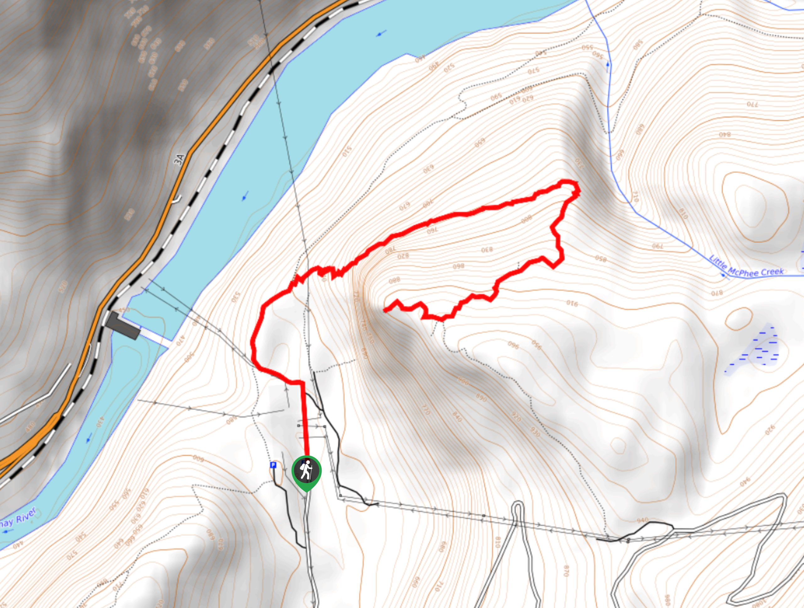
Brilliant Overlook Hike
The hike to Brilliant Overlook is a 3.7mi out-and-back trail in Castlegar, BC, that works through the forest…


Comments