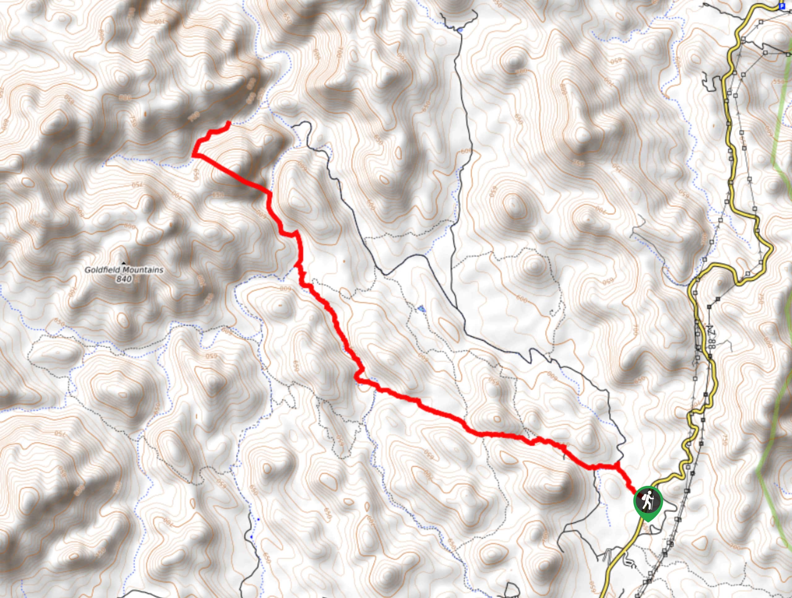


Triple Arch Trail
View PhotosTriple Arch Trail
Difficulty Rating:
If you’re after classic Arizona desert scenery, the Triple Arch trail is such a treat. This route takes you through 9.0mi of beautiful desert dotted with massive saguaros to three stone arches in the towering rocks. Even if you can’t do all 9.0mi, you can still appreciate the scenery. This route is a bit of a hidden gem, so you likely won’t be sharing the route with many other hikers.
Getting there
The trailhead for the Triple Arch Trail is on State Route 88.
About
| Backcountry Campground | No |
| When to do | October-May |
| Pets allowed | Yes - On Leash |
| Family friendly | Older Children only |
| Route Signage | Average |
| Crowd Levels | Low |
| Route Type | Out and back |
Triple Arch Trail
Elevation Graph
Weather
Triple Arch Trail Description
Triple Arch Trail is a perfect example of the scenery that Arizona is known and loved for, with huge saguaros lining a rocky desert trail. This hike takes you to three arches in the sandstone formations that define this region, but you’ll have a great time out even if 9 miles is too long for you and your group and you don’t make it to the arches.
This area gets very hot in the summer. If it’s going to be hot when you’re visiting, make sure you start hiking early in the morning, bring plenty of water, and wear sunscreen and a hat.
From the trailhead, the route heads straight out into the desert. There are a few spur trails that connect, so you might want to download a route. That being said, it’s not overly challenging to stay on the path as it rises towards the Goldfield Mountains. The grade increases as you draw closer to the arches. Look for them up on the rocks at the end of the trail, then retrace your steps back to the trailhead once you’re ready.
Similar hikes to the Triple Arch Trail hike

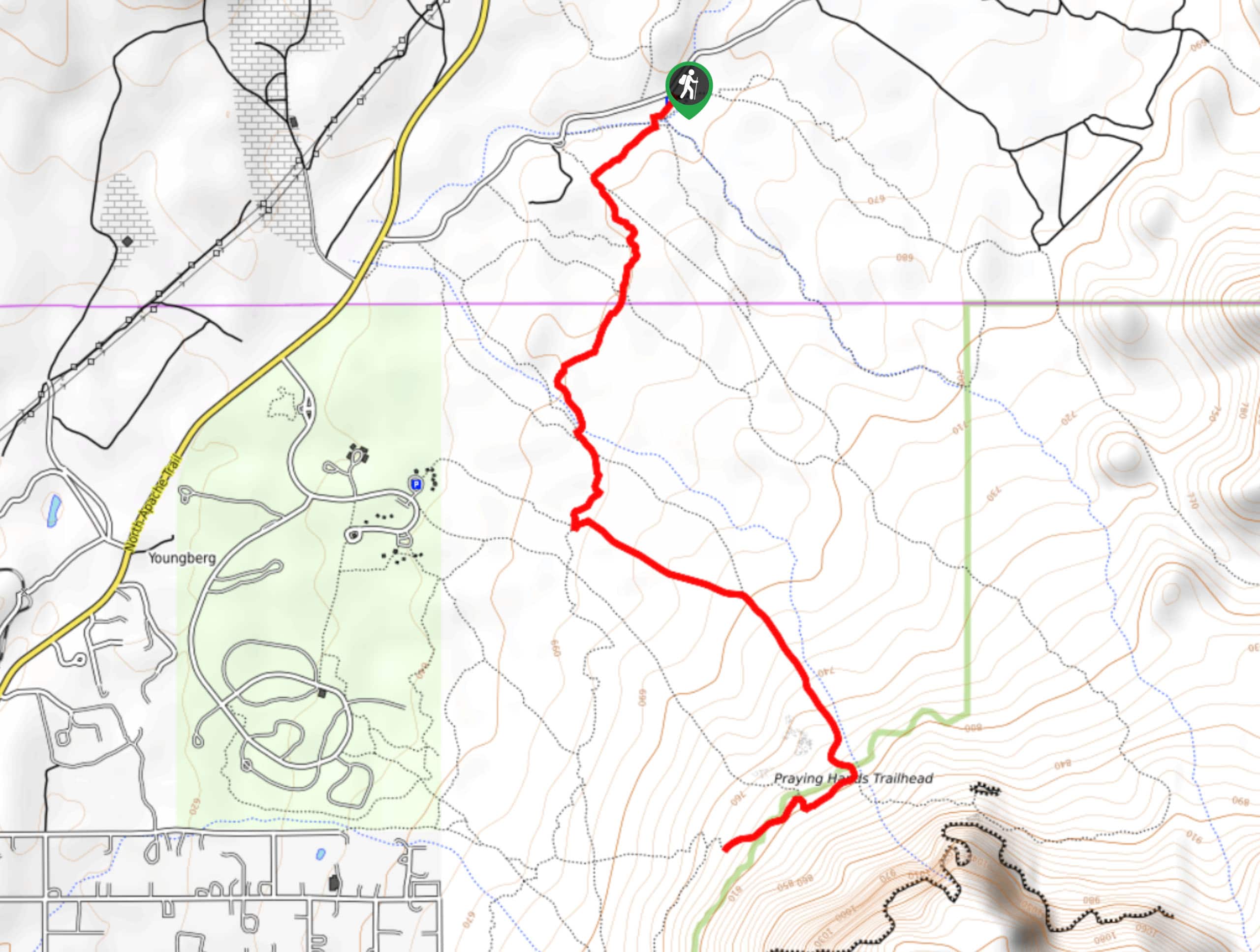
Jacob’s Crosscut Trail
Jacob’s Crosscut Trail is an important route in the network of trails in Lost Dutchman State Park. This route is…

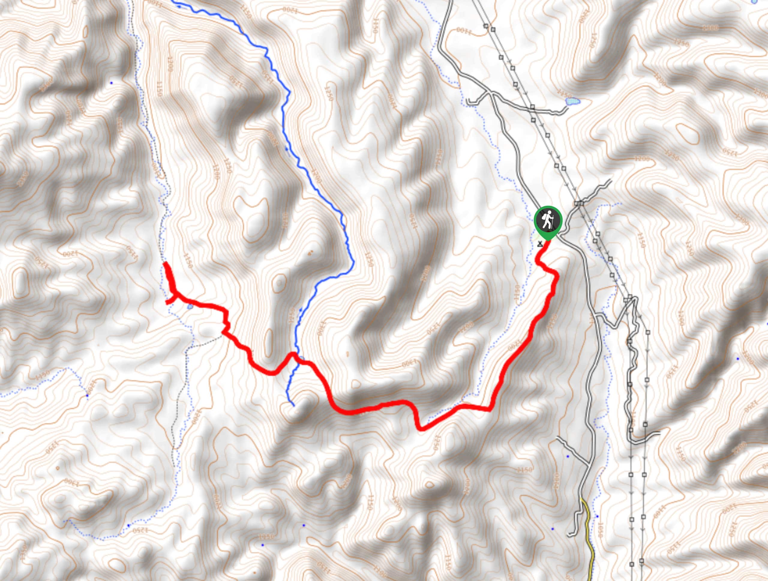
Bronco Trail
The Bronco Trail is a 7.9mi out and back route used for hiking and horseback riding. This trail…

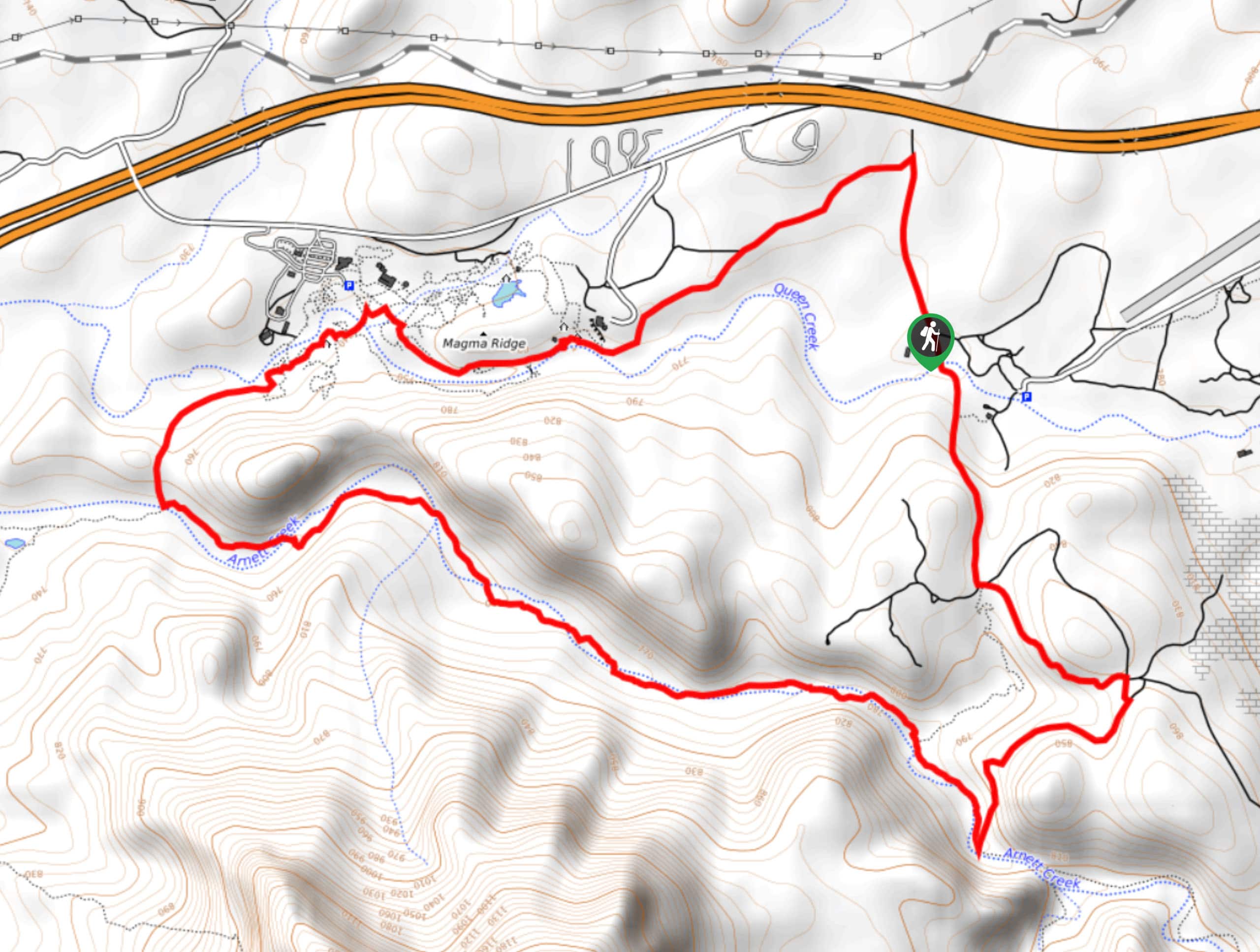
Perlite Road to Arnett Creek Loop
The Perlite Road to Arnett Creek Loop takes you through a section of the Boyce Thompson Arboretum grounds and through…


Comments