

Treasure Loop Trail
View PhotosTreasure Loop Trail
Difficulty Rating:
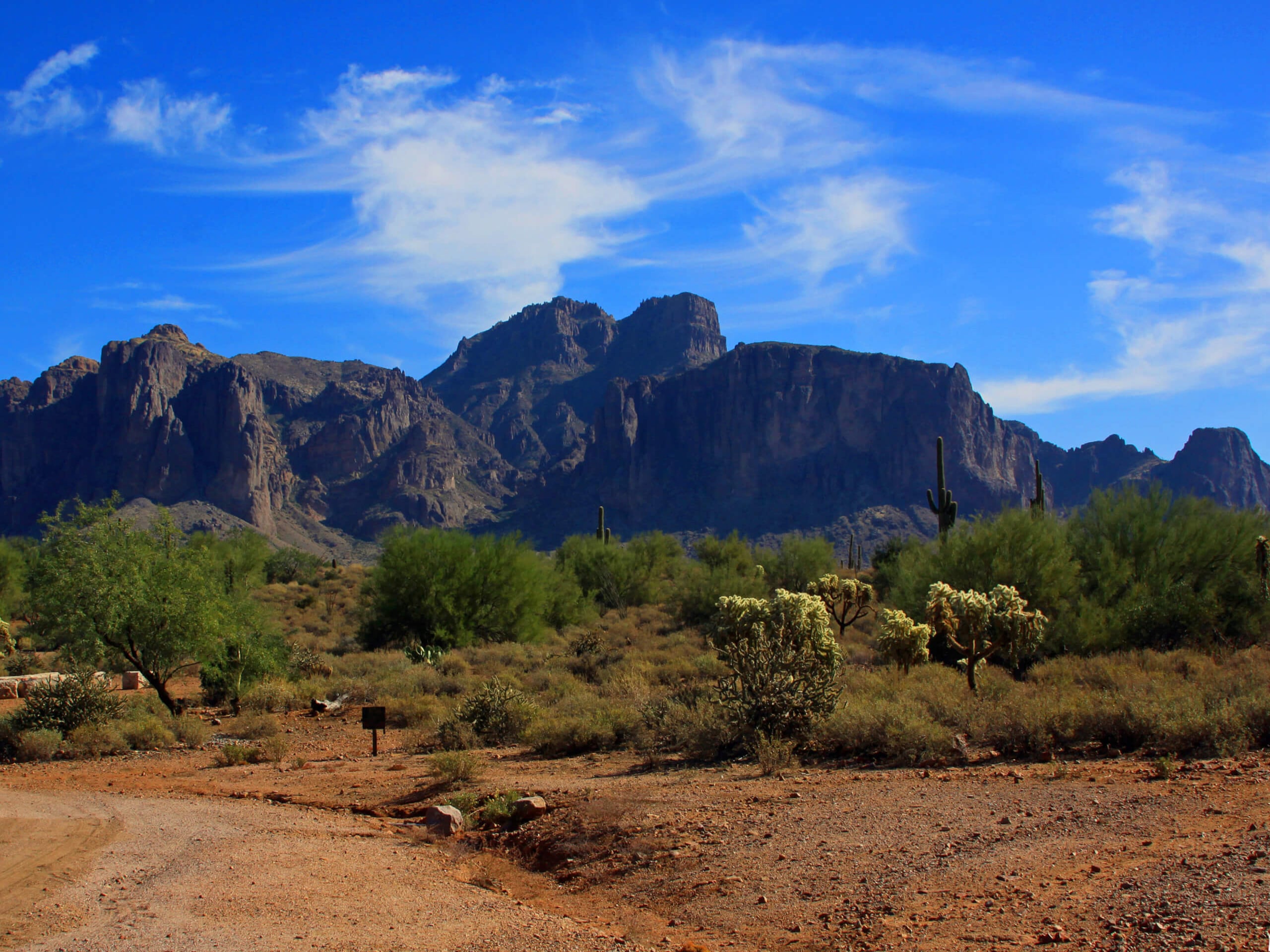
The Treasure Loop Trail leads you through an area once defined by Arizona’s gold rush. While its storied boom and bust past is fascinating, it draws hikers for its natural beauty above all else. With the Superstition Mountains spread before you on this route, you’ll be able to appreciate Arizona’s desert scenery as it climbs towards the base of the mountains ahead.
This route is family-friendly and dog-friendly (leashed). It can get very hot out here, so take advantage of the fountains at the trailhead and fill up your bottles before setting out. Remember to bring water for pets, slather on some sunscreen, and get a hat on your head to protect yourself from the hot sun.
Getting there
The trailhead for the Bulldog Saddle and Pass Mountain Trail Loop is near the northern terminus of N Meridian Drive.
About
| Backcountry Campground | No |
| When to do | October-May |
| Pets allowed | Yes - On Leash |
| Family friendly | Yes |
| Route Signage | Average |
| Crowd Levels | Extreme |
| Route Type | Loop |
Treasure Loop Trail
Elevation Graph
Weather
Treasure Loop Trail Description
The Treasure Loop Trail explores the western Superstition Mountain in the Tonto National Forest. Thanks to the otherwise flat landscape immediately surrounding this trail, you’ll get awesome views without needing to do much climbing at all.
This area has a rich gold mining history and is famed for the Lost Dutchman’s buried treasure. While we can’t guarantee you’ll strike gold here, you will love this scenic, family-friendly hike through a region previously caught up in the gold rush.
As with all hikes in Central Arizona, it can get extremely hot on this route. We don’t recommend trying this hike between June and September and we always recommend bringing more water than you think you’ll need. Bring water for dogs, too. Wear sunscreen and don a hat to keep cool.
Find the trailhead on the southeast side of the parking lot. Fill your water at the fountain here before setting out if needed.
The grade is gentle for the first half-mile. Get warmed up before it increases, at which point the trail gets rockier. There are a few trails that cross over yours, but you’ll just continue hiking straight.
At the end of the loop about a mile in, you’ll hit the highest point of your hike. Right at the base of Peak 5024, you can take a moment to appreciate the mountain before turning to hike the second half of the loop.
Look far ahead at the Goldfield Mountains and Orohai Mountains as you gently descend back towards the trailhead. Some of the same routes intersect on this side too, but again, you’ll continue straight ahead.
Back at the trailhead, you can stick around in the area to enjoy a picnic, choose another nearby hike, or head off to your next adventure.
Hiking Route Highlights
Lost Dutchman State Park
Lost Dutchman State Park is a 320-acre park near the Superstition Mountains in the center of Arizona. The park is named after the Lost Dutchman’s Gold Mine, a famous mine in the area often included in tales of the Old West. The park is now used for hiking, camping, and scenic driving.
Frequently Asked Questions
Is there a fee for Lost Dutchman State Park?
Yes, there is a modest day-use fee. The fee varies throughout the seasons but is normally between $7 and $10 per vehicle. There are additional fees for camping.
When should I hike in Lost Dutchman State Park?
Hiking can be enjoyed in this area throughout the year, but we recommend visiting between late September and May to avoid the intense summer heat.
Insider Hints
The Goldfield Ghost Town is just east of this trailhead. Check it out before or after your hike for a glimpse into the region’s mining past.
Similar hikes to the Treasure Loop Trail hike

Jacob’s Crosscut Trail
Jacob’s Crosscut Trail is an important route in the network of trails in Lost Dutchman State Park. This route is…

Bronco Trail
The Bronco Trail is a 7.9mi out and back route used for hiking and horseback riding. This trail…

Pine Canyon Trail Loop
The Pine Canyon Trail Loop in Pine, Arizona is a quick 2.7mi loop that is rated as easy.…


Comments