

See Spring Trail
View PhotosSee Spring Trail
Difficulty Rating:
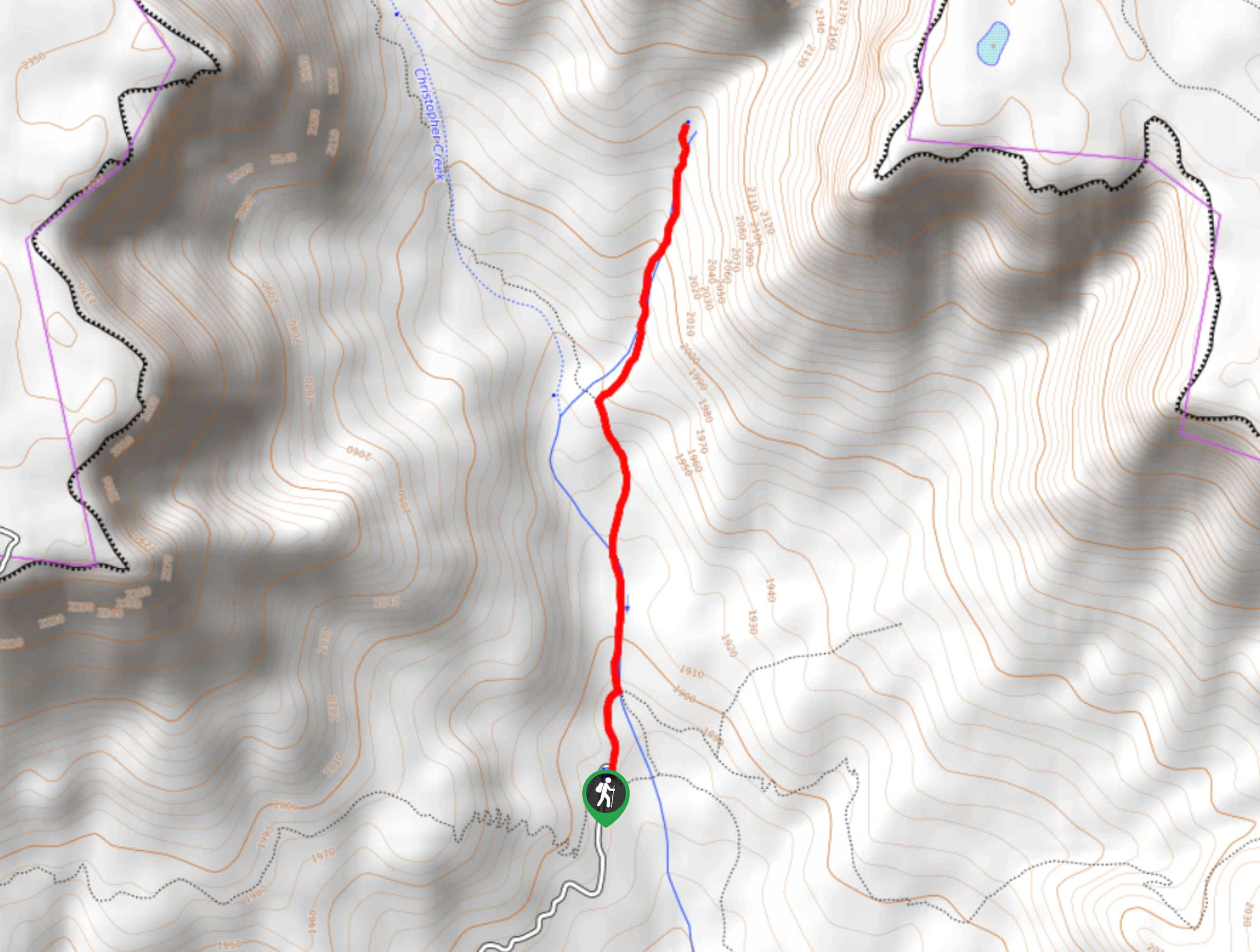
See Spring Trail is a moderate 2.4mi hike in the Tonto National Forest that takes you to the headwaters of the See Spring at the mouth of a gorgeous canyon. This is a nice place to start before hiking the longer, more challenging See Canyon Trail as it’s much easier and simpler to follow. Expect moderate traffic on this route.
Getting there
The trailhead for the See Spring Trail is at the end of FR 284.
About
| Backcountry Campground | No |
| When to do | May-October |
| Pets allowed | Yes - On Leash |
| Family friendly | Yes |
| Route Signage | Poor |
| Crowd Levels | Moderate |
| Route Type | Out and back |
See Spring Trail
Elevation Graph
Weather
See Spring Trail Description
See Spring Trail is a fun adventure with varied scenery, ranging from the green-framed headwaters of the See Spring to the tall canyon mouth of See Canyon. This is an easier option if you want to enjoy the canyon without hiking all the way through, which is a more challenging adventure. Expect moderate traffic on this route.
If you do want to venture up the canyon, you can go a fair distance before that route gets more difficult. It’s not as steep or hard to follow until you get most of the way through the canyon.
From the trailhead, hike towards the canyon alongside Christopher Creek. The trail to the springs splits off to the right, and you’ll do some gentle climbing up to the headwaters. It’s quite nicely shaded for most of the hike, with the creek providing a mossy route to follow. At the headwaters, turn back and retrace your steps.
Similar hikes to the See Spring Trail hike
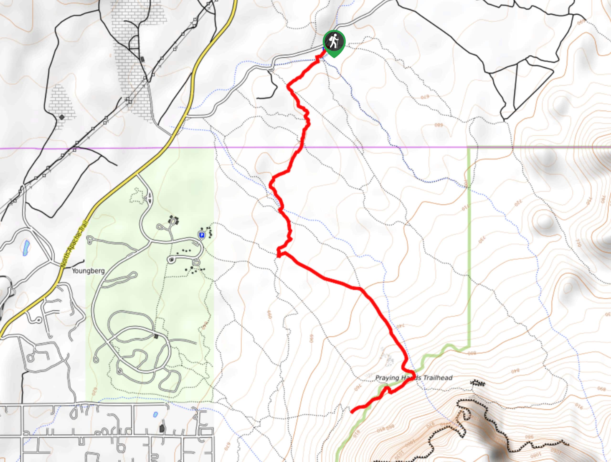
Jacob’s Crosscut Trail
Jacob’s Crosscut Trail is an important route in the network of trails in Lost Dutchman State Park. This route is…
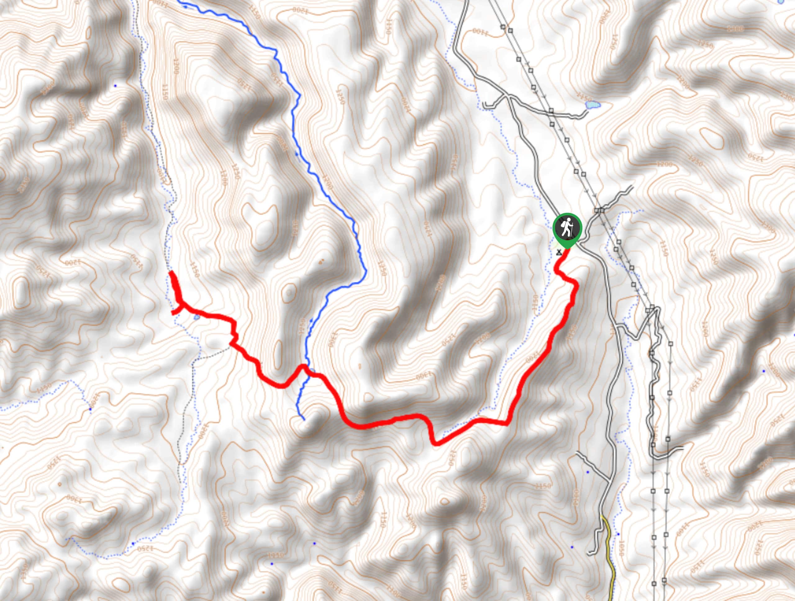
Bronco Trail
The Bronco Trail is a 7.9mi out and back route used for hiking and horseback riding. This trail…
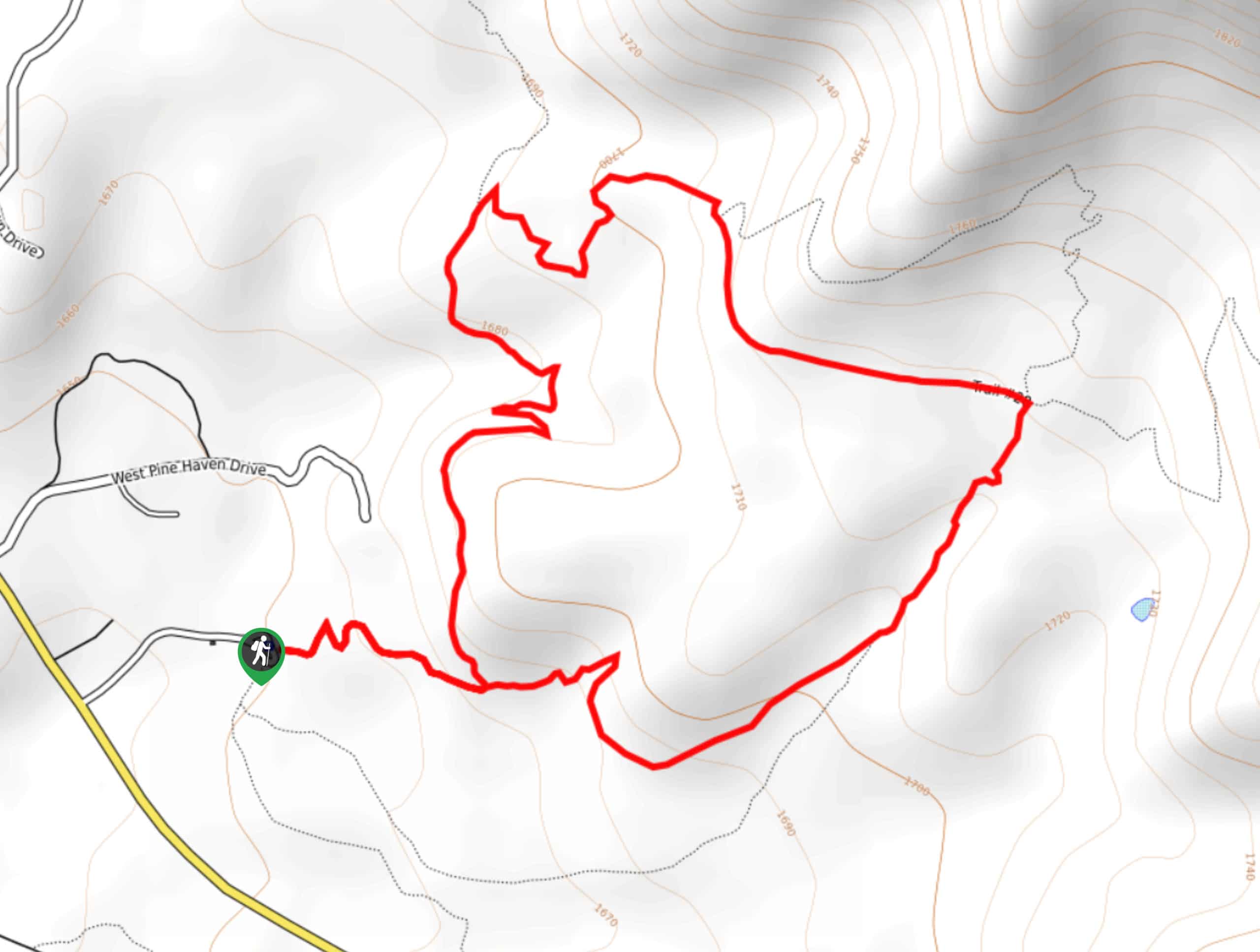
Pine Canyon Trail Loop
The Pine Canyon Trail Loop in Pine, Arizona is a quick 2.7mi loop that is rated as easy.…


Comments