

Sears Kay Ruins Trail
View PhotosSears Kay Ruins Trail
Difficulty Rating:
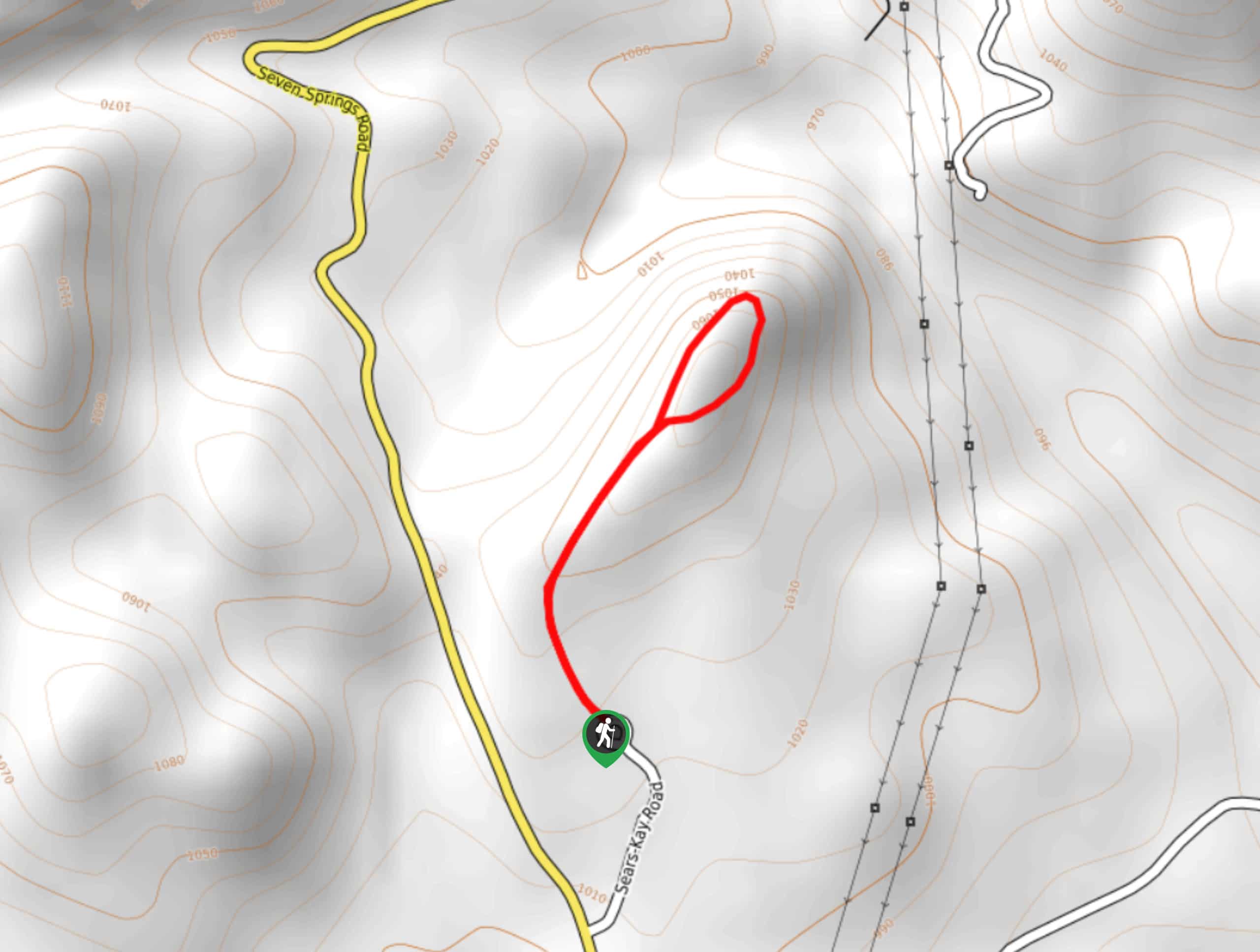
The Sears Kay Ruins Trail is an interesting hike suitable for all skill levels and ages. This quick trail has beautiful wildflowers to see in the spring, neat rock formations, and preserve ruins. It won’t take much time out of your day, so plan a picnic and a quick hike in the area if you’re going to be nearby. You’ll also love the views of the basin at the end of the hike.
Getting there
The trailhead for the Sears Kay Ruins Trail is at the end of Sears Kay Road.
About
| Backcountry Campground | No |
| When to do | Year-round |
| Pets allowed | Yes - On Leash |
| Family friendly | Yes |
| Route Signage | Average |
| Crowd Levels | High |
| Route Type | Out and back |
Sears Kay Ruins Trail
Elevation Graph
Weather
Sears Kay Ruins Trail Description
The hike to the Sears Kay Ruins is a delightful little adventure suitable for nearly everyone. This easy walk has great wildflowers in the spring and excellent views of the ruins and basin all year round. With picnic areas near the trailhead, you can easily make an afternoon out of your visit here or choose this hike to pair with another one in the area.
From the trailhead, the route meanders through the desert towards the ruins site. It’s a quick trip and the elevation gain is quite manageable. At the ruins site, you can check out the remnants of the structures and look out into the basin beyond, which you have a great view of.
From the lookout, you’ll return to the trailhead the same way you came out.
Similar hikes to the Sears Kay Ruins Trail hike
Jacob’s Crosscut Trail
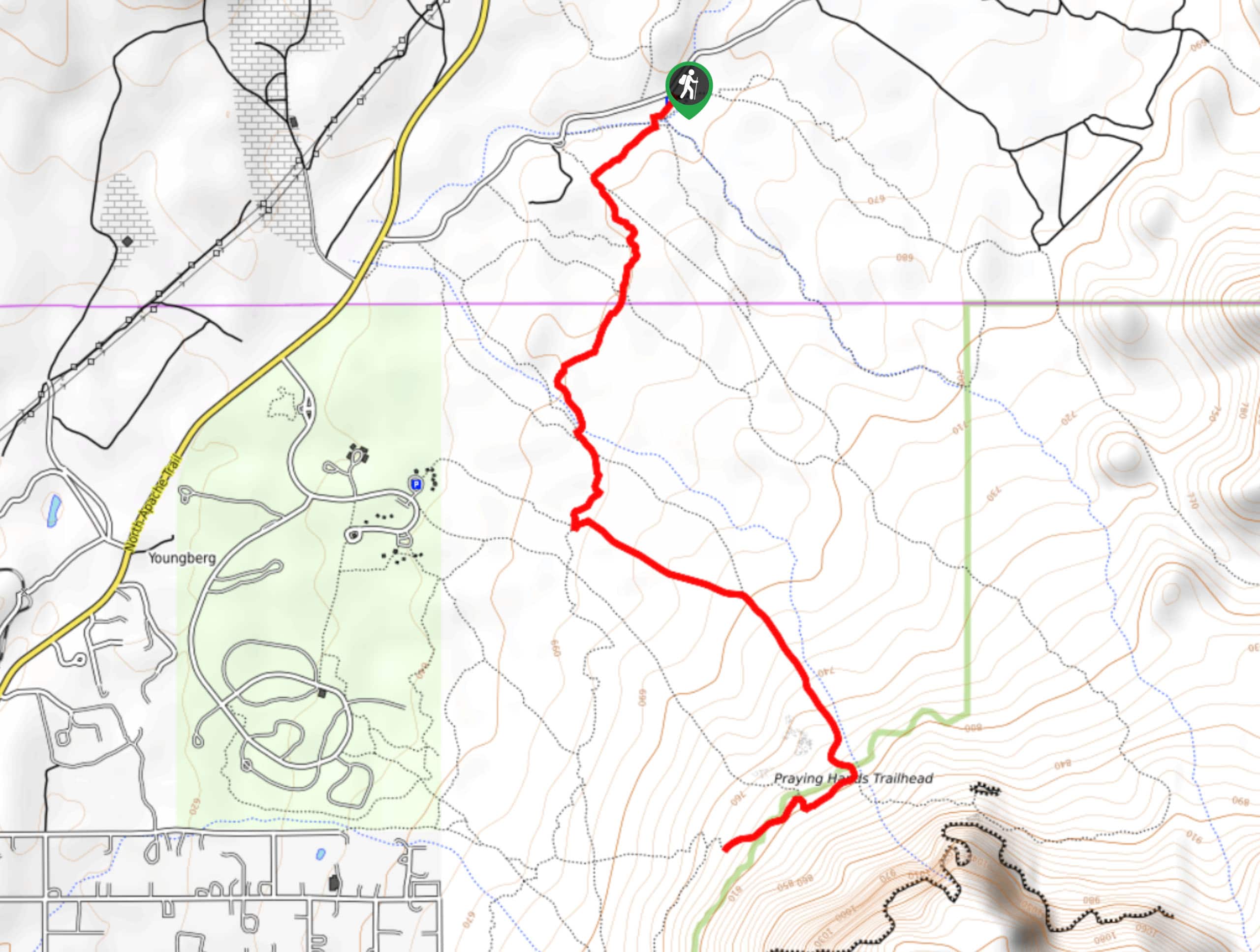
Jacob’s Crosscut Trail is an important route in the network of trails in Lost Dutchman State Park. This route is…
Bronco Trail
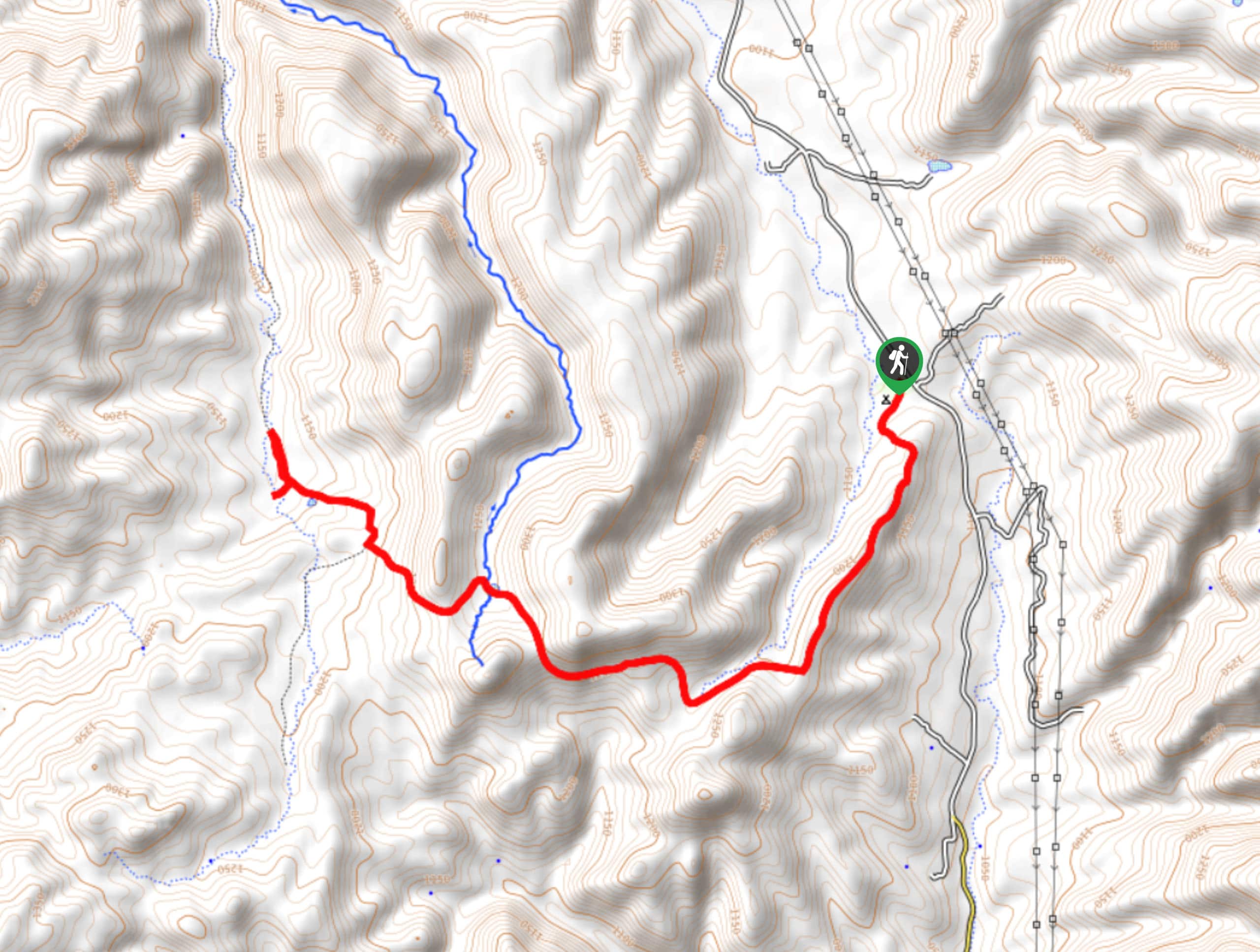
The Bronco Trail is a 7.9mi out and back route used for hiking and horseback riding. This trail…
Pine Canyon Trail Loop
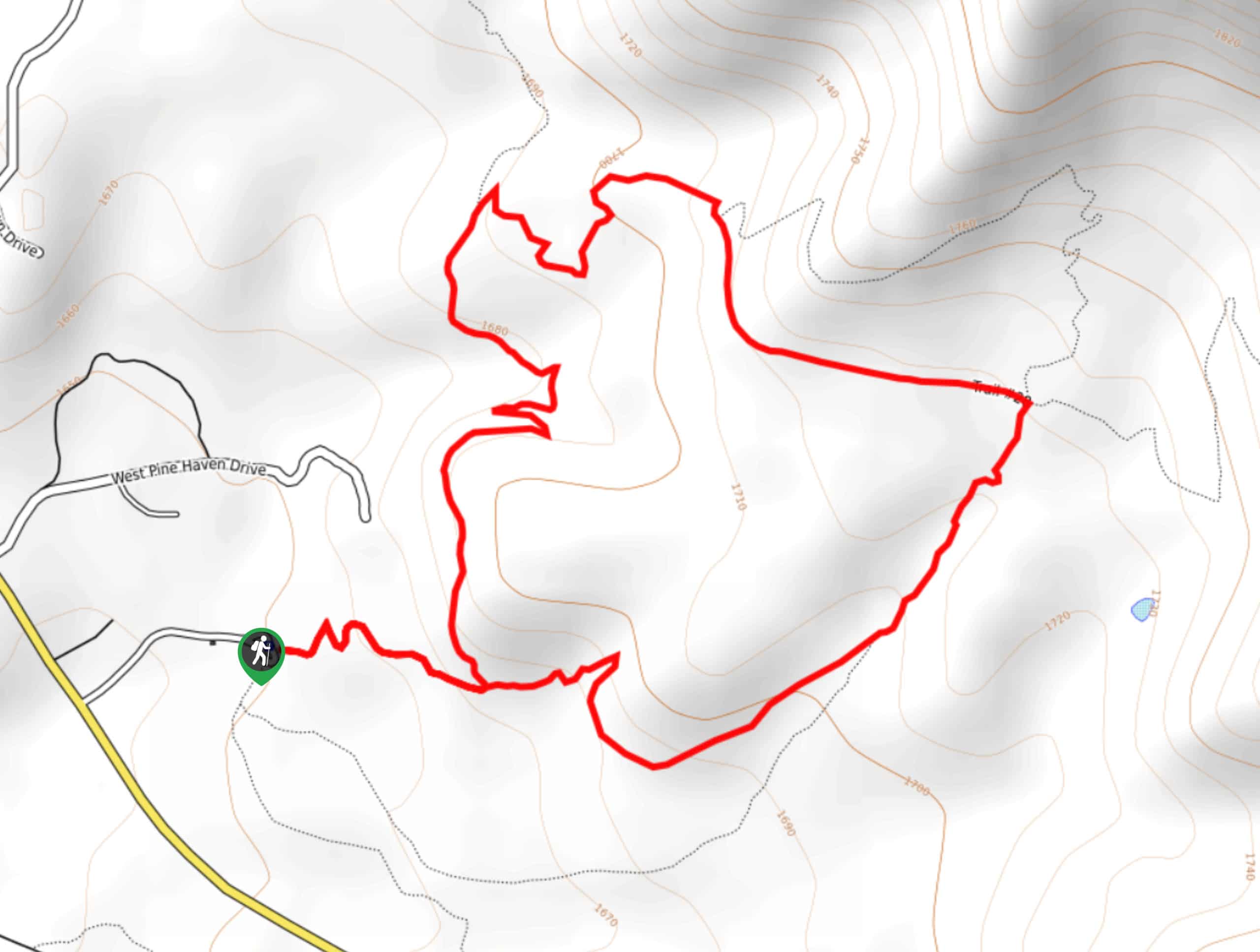
The Pine Canyon Trail Loop in Pine, Arizona is a quick 2.7mi loop that is rated as easy.…


Comments