

Saguaro Trail
View PhotosSaguaro Trail
Difficulty Rating:
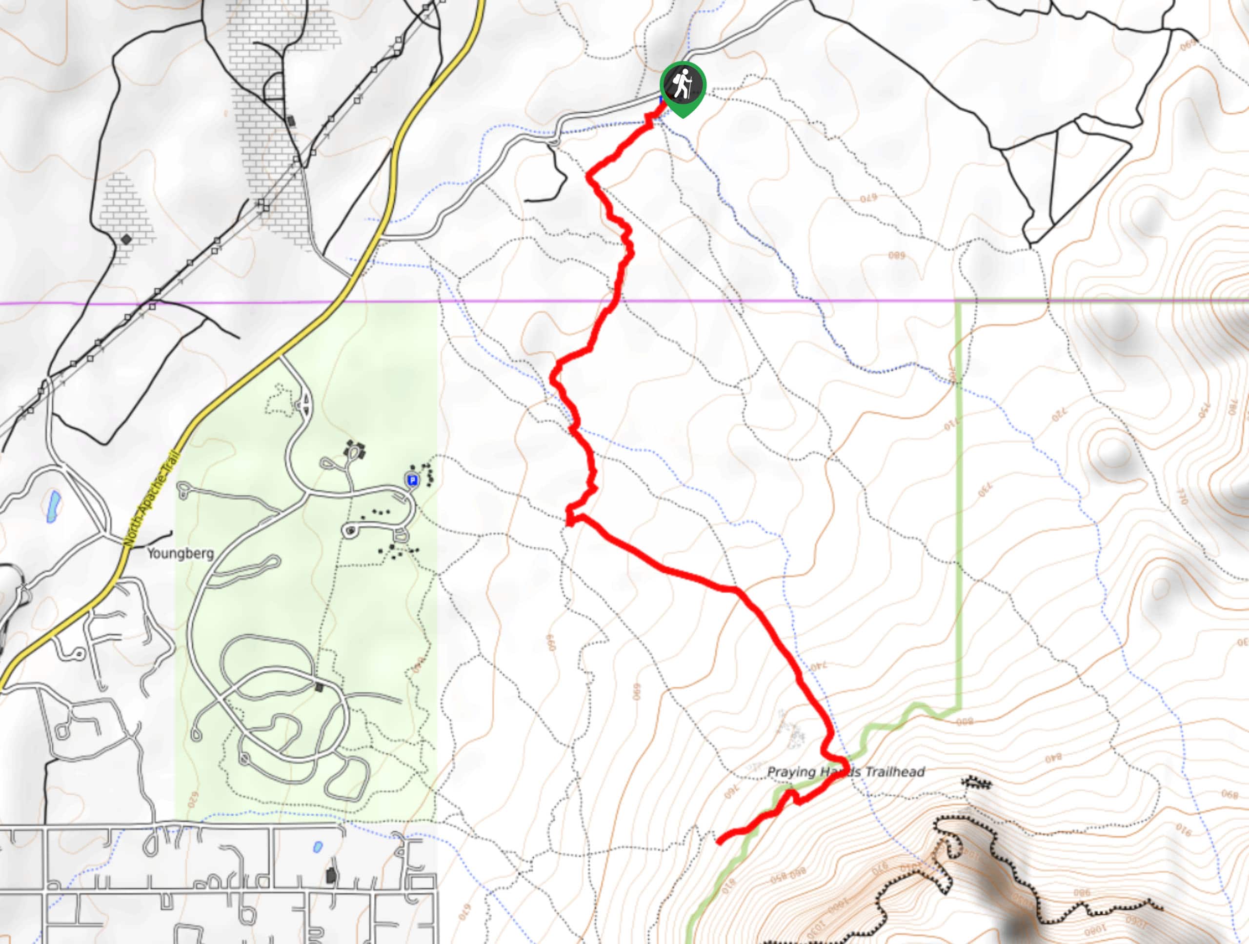
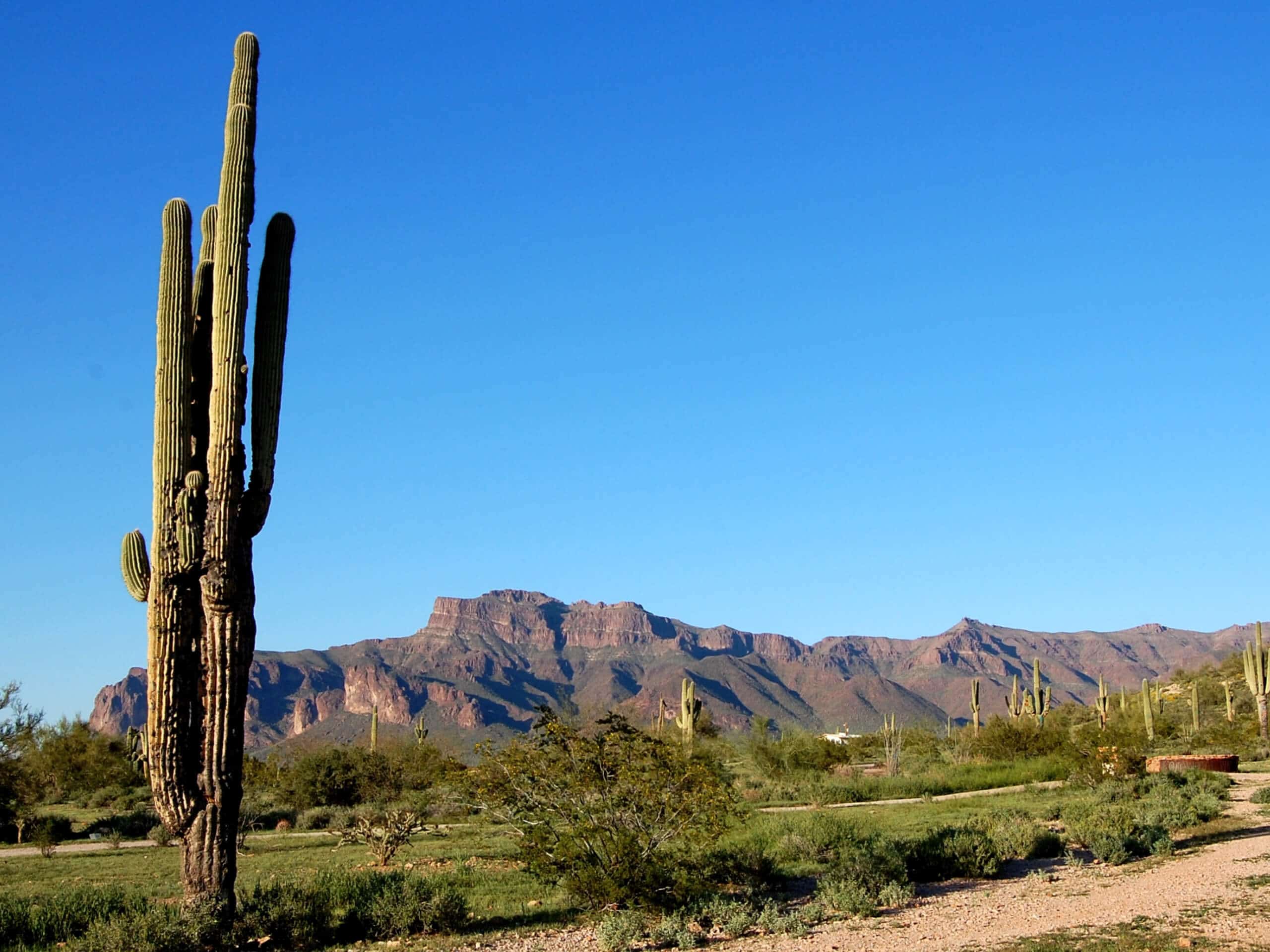
The Saguaro Trail undulates up over a hill near the Salt River in the Tonto National Forest. This 2.3mi adventure is easy to reach for those near Apache Wells and makes for a rewarding trip with awesome views of Red Mountain and the river. There’s consistent elevation gain and loss, but it’s never too difficult for strong beginners and better to enjoy.
Getting there
The trailhead for the Saguaro Trail is off N Bush Highway.
About
| Backcountry Campground | No |
| When to do | October-June |
| Pets allowed | Yes - On Leash |
| Family friendly | Yes |
| Route Signage | Average |
| Crowd Levels | High |
| Route Type | Out and back |
Saguaro Trail
Elevation Graph
Weather
Saguaro Trail Description
The Saguaro Trail– dotted by saguaros, indeed– is a beautiful trail in the Usery Mountains north of Apache Wells. This hike climbs, flattens out, climbs, and flattens out as it crests a hill with a great view of the Salt River and Red Mountain. It’s an interesting, varied trail that’s also shared by mountain bike traffic.
As with all routes in this area, we advise avoiding hiking during the summertime when temperatures soar. Bring plenty of water, toss a hat on, and make sure you’ve got sunscreen on before embarking on this adventure.
The trail begins across the road from the parking area. After a few warm-up steps, it launches into a fairly steep climb, flattening out before too long. The route tends to repeat this pattern taking you through steeper sections with flatter breaks in between. The higher you climb, the more the trail narrows, so take care when passing bikes. Admire Red Mountain, the surrounding Usery Mountains, and the Salt River before retracing your steps back down to the trailhead.
Similar hikes to the Saguaro Trail hike

Jacob’s Crosscut Trail
Jacob’s Crosscut Trail is an important route in the network of trails in Lost Dutchman State Park. This route is…

Bronco Trail
The Bronco Trail is a 7.9mi out and back route used for hiking and horseback riding. This trail…

Pine Canyon Trail Loop
The Pine Canyon Trail Loop in Pine, Arizona is a quick 2.7mi loop that is rated as easy.…


Comments