Pine Strawberry Trail
View Photos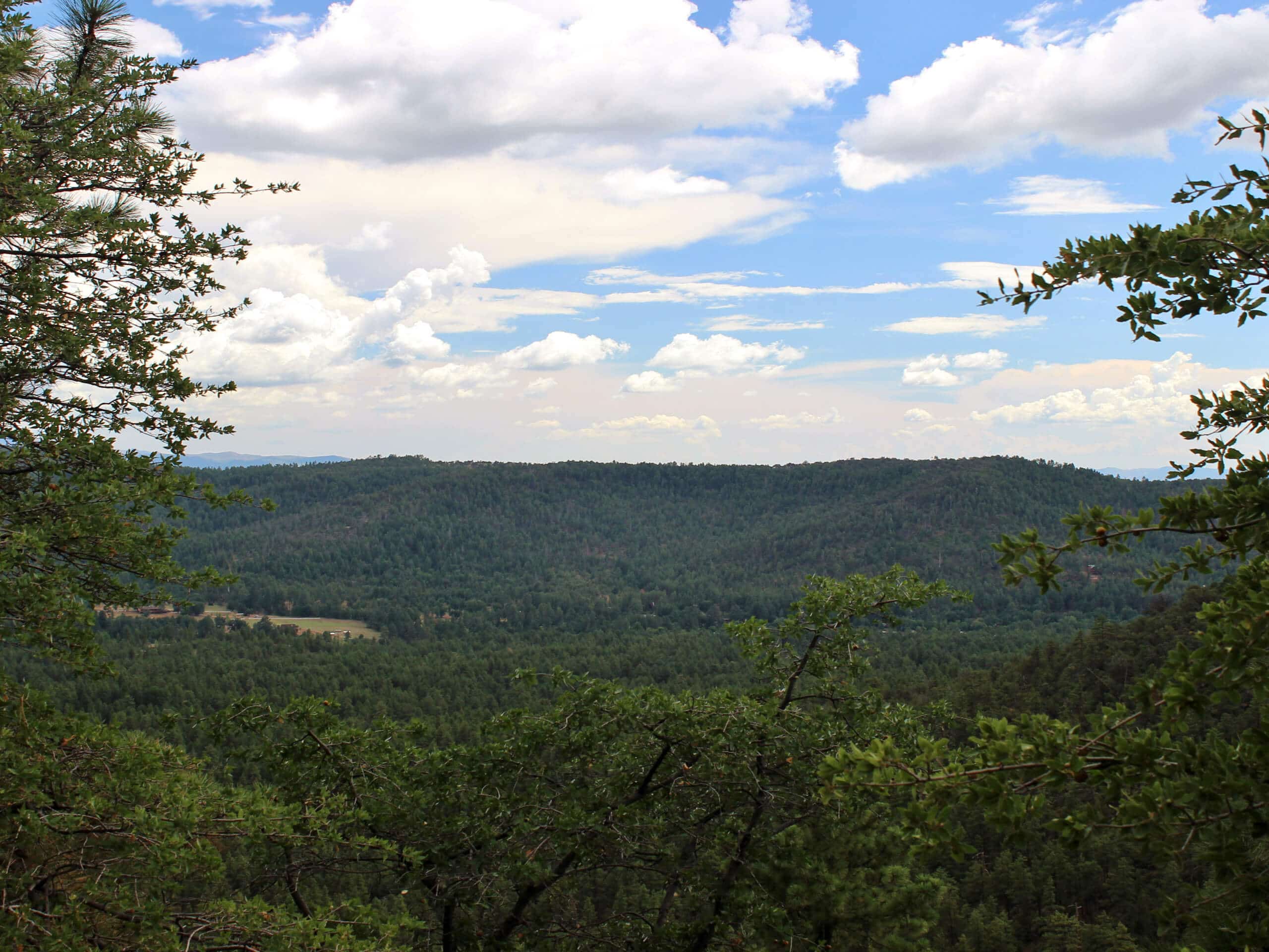
Pine Strawberry Trail
Difficulty Rating:
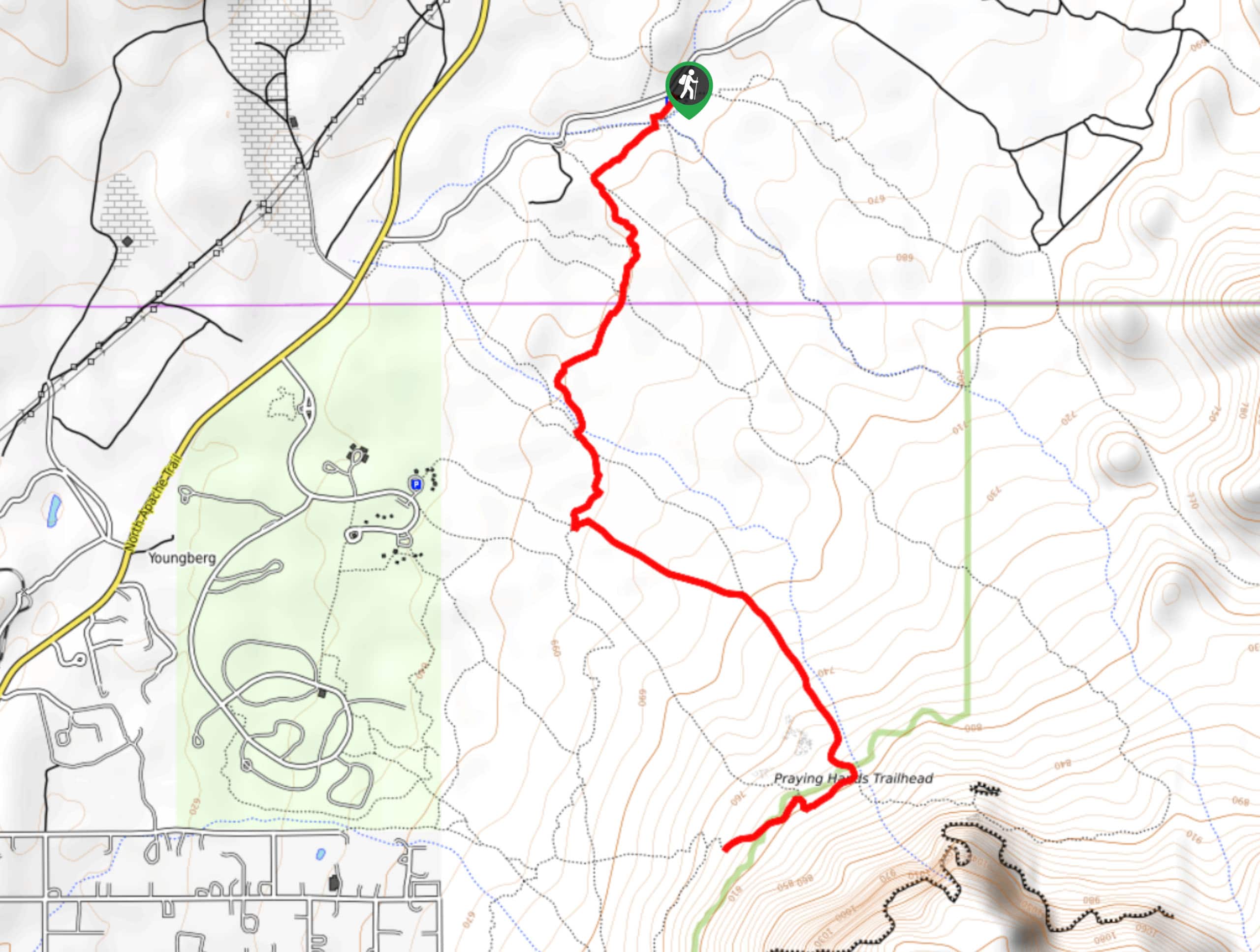
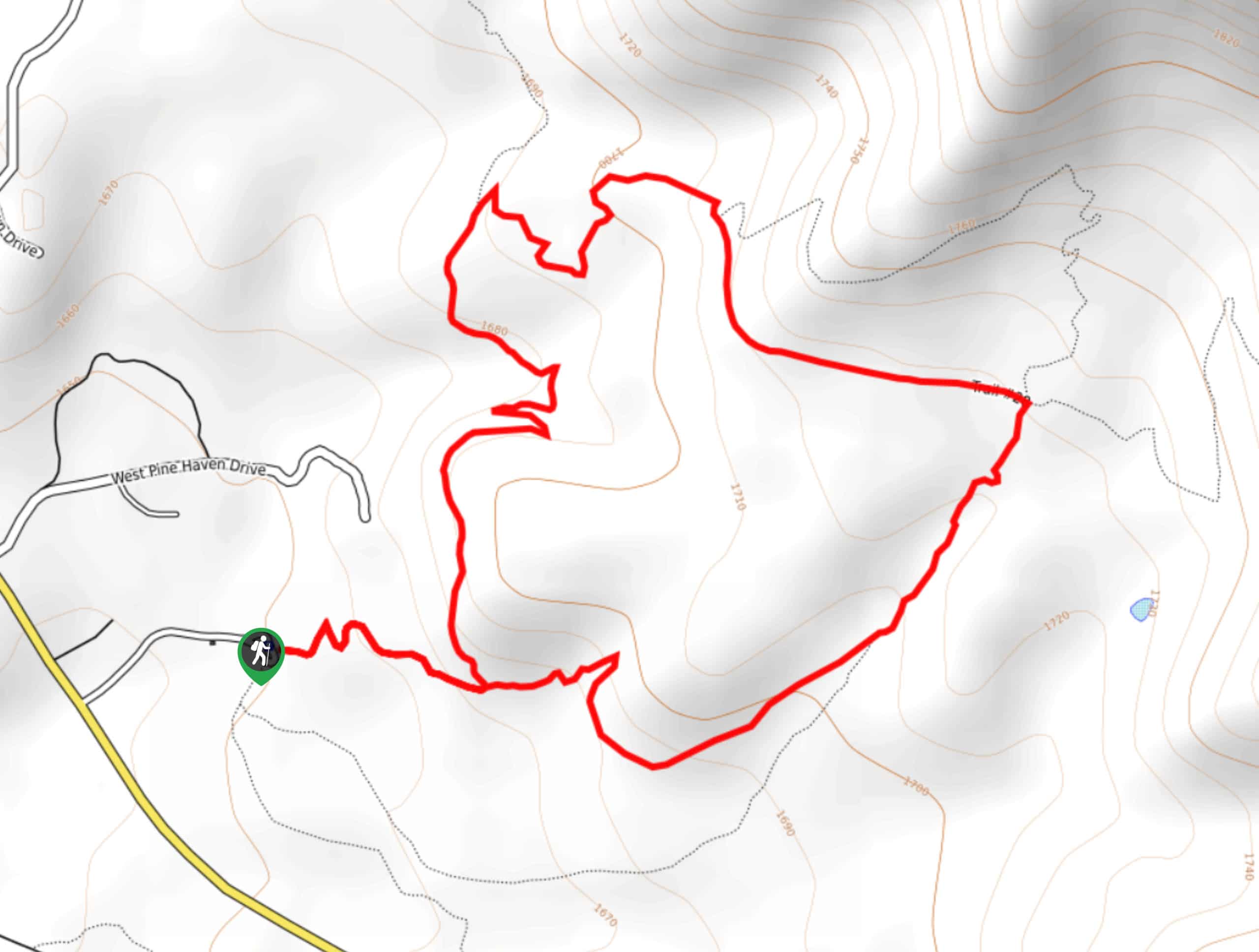
The Pine Strawberry Trail is a. 8.3mi point-to-point trail that starts in southeastern Pine, stretches south, and then climbs alongside Strawberry Mountain to Strawberry. With ever-changing scenery, this is a delightful trail to use for as long as you want. Hike a portion to get out with the kids and dogs or make a full day of it and do it as an out and back. Expect moderate traffic on this route.
Getting there
The trailhead for the Pine Strawberry Trail is off SR 87.

About
| Backcountry Campground | No |
| When to do | March-November |
| Pets allowed | Yes - On Leash |
| Family friendly | Yes |
| Route Signage | Good |
| Crowd Levels | Moderate |
| Route Type | One Way |
Pine Strawberry Trail
Elevation Graph
Weather
Pine Strawberry Trail Description
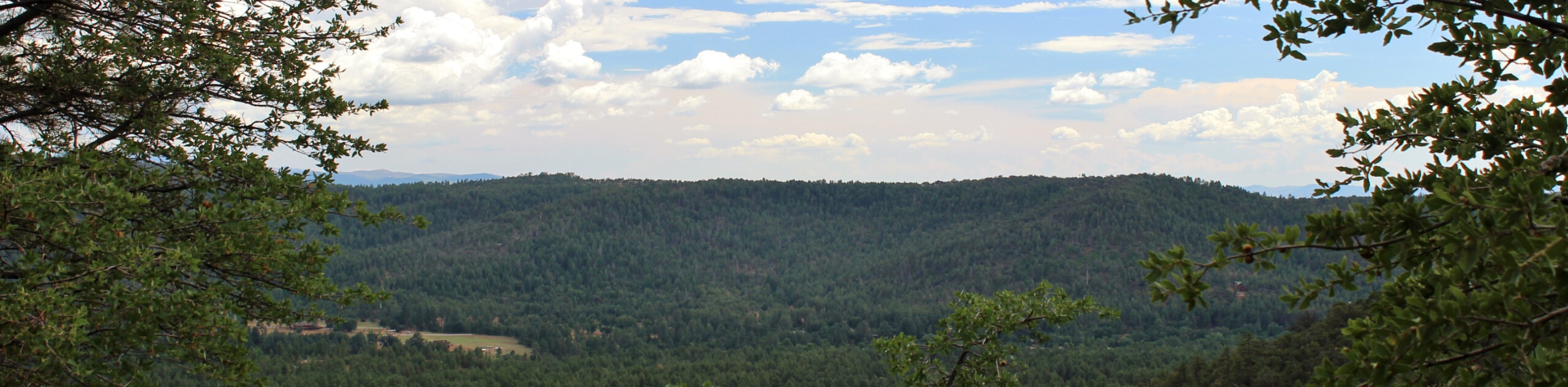
Starting in Pine, curving away from town and underneath Strawberry Mountain, and ending off in Strawberry, the Pine Strawberry Trail is a point-to-point hike that you can use for as long as you like. The scenery changes throughout the trail and it’s a well-maintained path, so grab the family and get out for as long as you like on this trail between two towns.
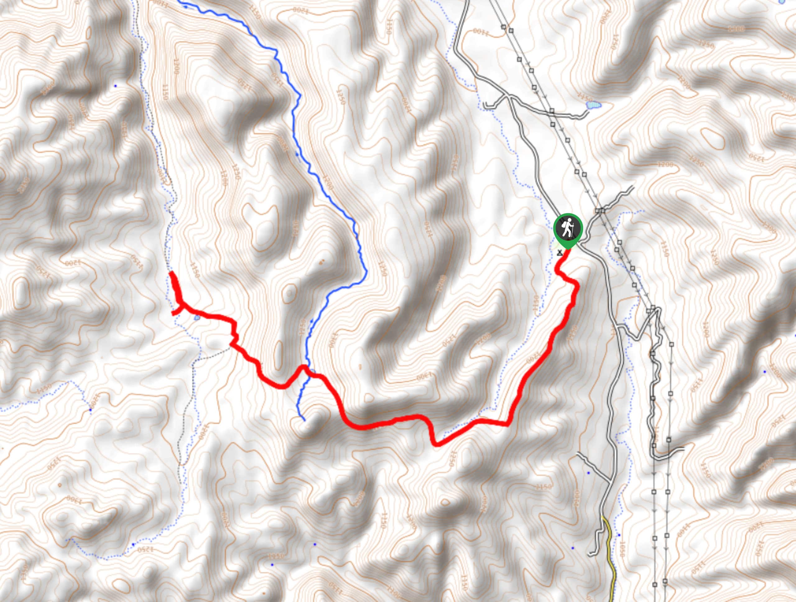
We will describe the route from Pine to Strawberry. In Pine, the route begins off the highway, following a stretch of the border-to-border Arizona Trail. Crossing Pine Creek, you’ll climb up the base of a mesa via switchbacks and take a right at the junctions. Traverse underneath Strawberry Mountain, staying right where Tomahawk Trail goes left.
Round the mesa to follow the highway a few last steps to the trailhead on the far outskirts of Strawberry. If you were beginning in Strawberry, you’d find the trail off the highway just outside of town.
Similar hikes to the Pine Strawberry Trail hike
Jacob’s Crosscut Trail
Jacob’s Crosscut Trail is an important route in the network of trails in Lost Dutchman State Park. This route is…
Bronco Trail
The Bronco Trail is a 7.9mi out and back route used for hiking and horseback riding. This trail…
Pine Canyon Trail Loop
The Pine Canyon Trail Loop in Pine, Arizona is a quick 2.7mi loop that is rated as easy.…
Comments