

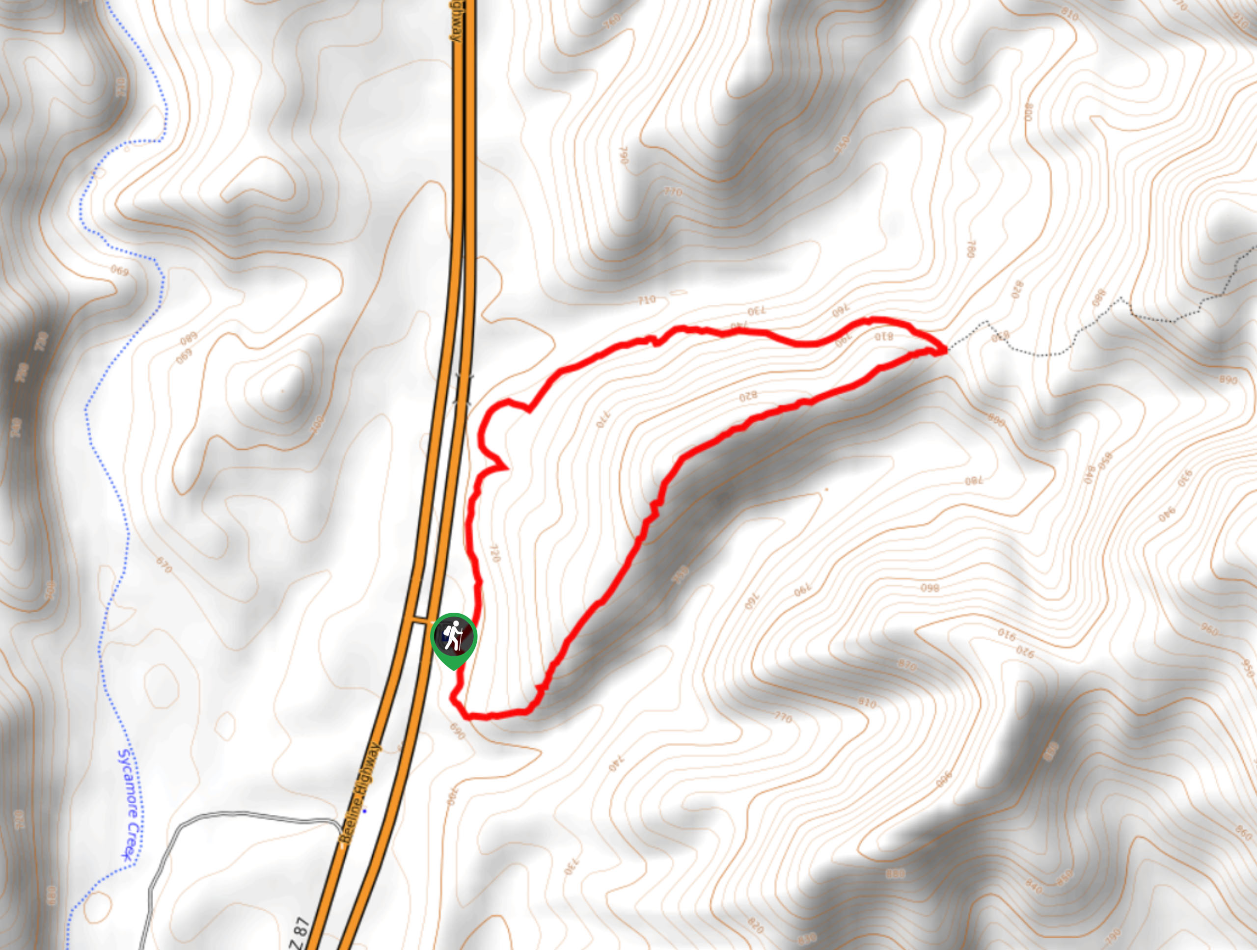
Pine Creek Loop
View PhotosPine Creek Loop
Difficulty Rating:
The Pine Creek Loop is a hike north of Mesa in the Tonto National Forest with views of The Boulders, Boulder Mountain, Pine Mountain, and the surrounding desert. This hike is quite easy, making it a good pick for all levels. When the wildflowers are blooming, it’s a great place to enjoy nature. Bring plenty of water on this hike and avoid visiting in the hot summer months.
Getting there
The trailhead for the Pine Creek Loop is off SR 87.
About
| Backcountry Campground | No |
| When to do | September-April |
| Pets allowed | Yes - On Leash |
| Family friendly | Yes |
| Route Signage | Average |
| Crowd Levels | Moderate |
| Route Type | Loop |
Pine Creek Loop
Elevation Graph
Weather
Pine Creek Loop Description
The Pine Creek Loop is an enjoyable hike in the Tonto National Forest north of Mesa that offers a stellar view of The Boulders and surrounding mountains in addition to the thousands of towering saguaros, and, if you time your hike right, the desert wildflowers. This hike is suitable for beginners and families.
Bring plenty of water on this hike and wear a hat and sunscreen. We don’t recommend visiting in the summer months as it can get extremely hot in this area. There can be some road noise on the nearby half of this route, so visiting during the week is ideal if you want a quieter experience.
From the trailhead, decide which way you want to do the loop. Going left makes the climb more gradual and easier, going right gets your legs working a little more at the start. There’s an offshoot trail at the end of the loop that you’ll need to avoid accidentally continuing down, but otherwise there are no other junctions to consider. Enjoy your hike!
Similar hikes to the Pine Creek Loop hike
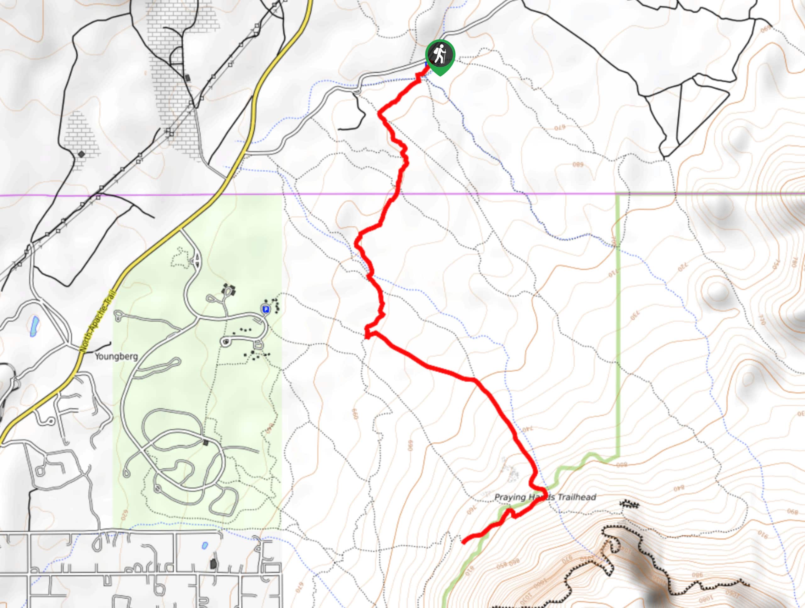
Jacob’s Crosscut Trail
Jacob’s Crosscut Trail is an important route in the network of trails in Lost Dutchman State Park. This route is…
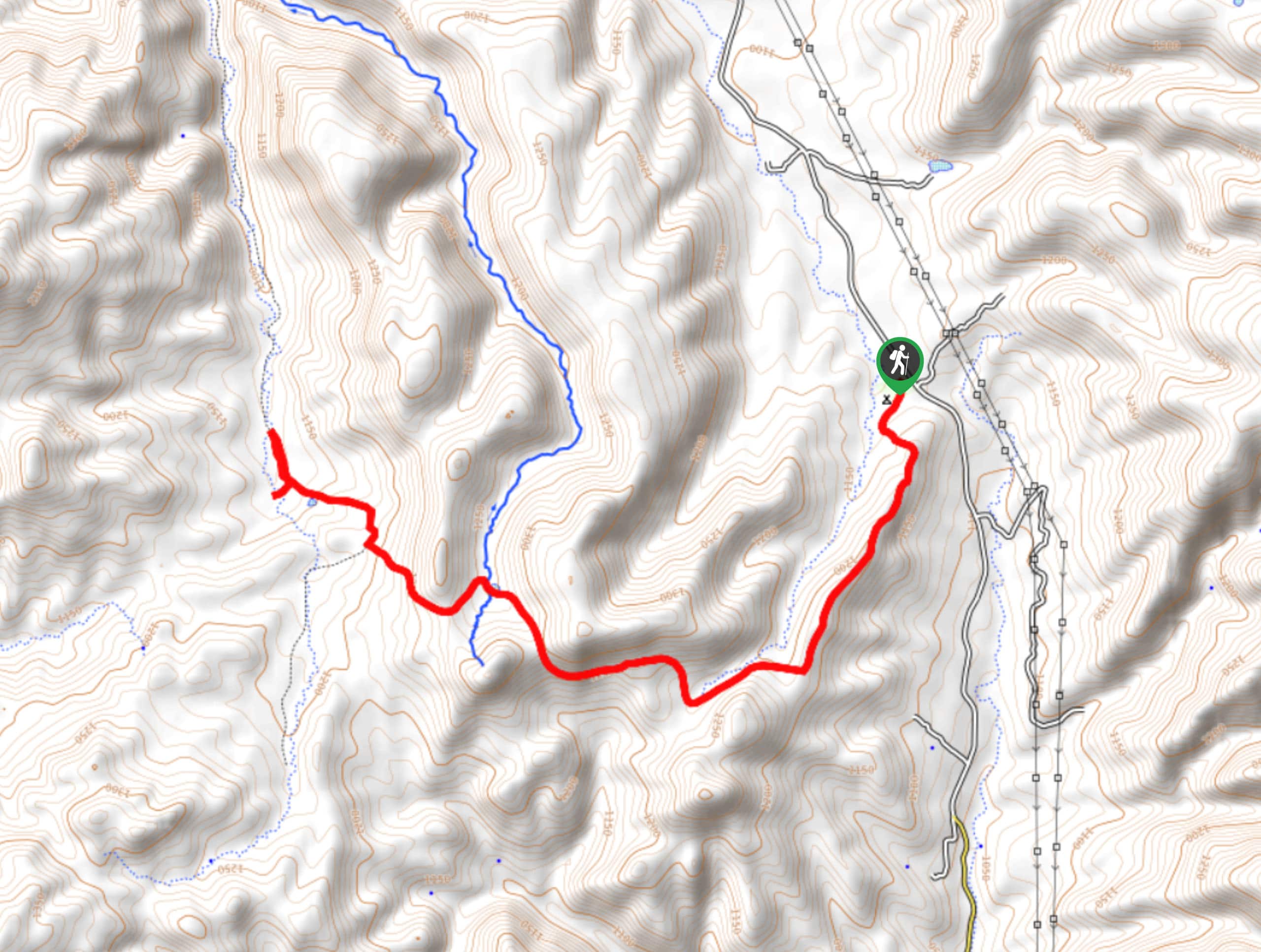
Bronco Trail
The Bronco Trail is a 7.9mi out and back route used for hiking and horseback riding. This trail…
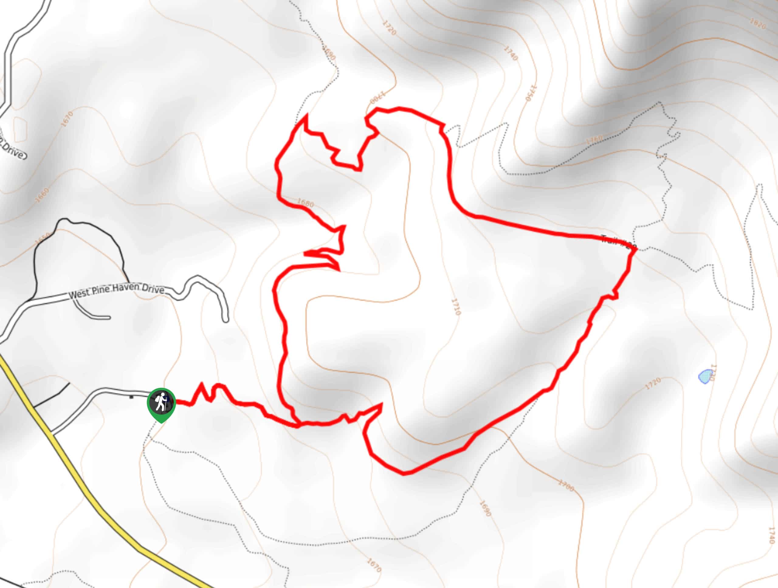
Pine Canyon Trail Loop
The Pine Canyon Trail Loop in Pine, Arizona is a quick 2.7mi loop that is rated as easy.…



Comments