

New River Trail
View PhotosNew River Trail
Difficulty Rating:
Stroll underneath Table Mountain, North Mountain, and Red Mountain on the New River Trail, a scenic hike near New River, Arizona. Note that this is primarily an OHV trail, so while hikers are also welcome, you’re going to want to share the trail and watch for traffic. For this reason, we definitely recommend keeping dogs leashed. We don’t recommend this trail in the hot summer months. Bring lots of water!
Getting there
The trailhead for the New River Trail is on W Table Mesa Road.
About
| Backcountry Campground | No |
| When to do | October-April |
| Pets allowed | Yes - On Leash |
| Family friendly | Yes |
| Route Signage | Average |
| Crowd Levels | Moderate |
| Route Type | Out and back |
New River Trail
Elevation Graph
Weather
New River Trail Description
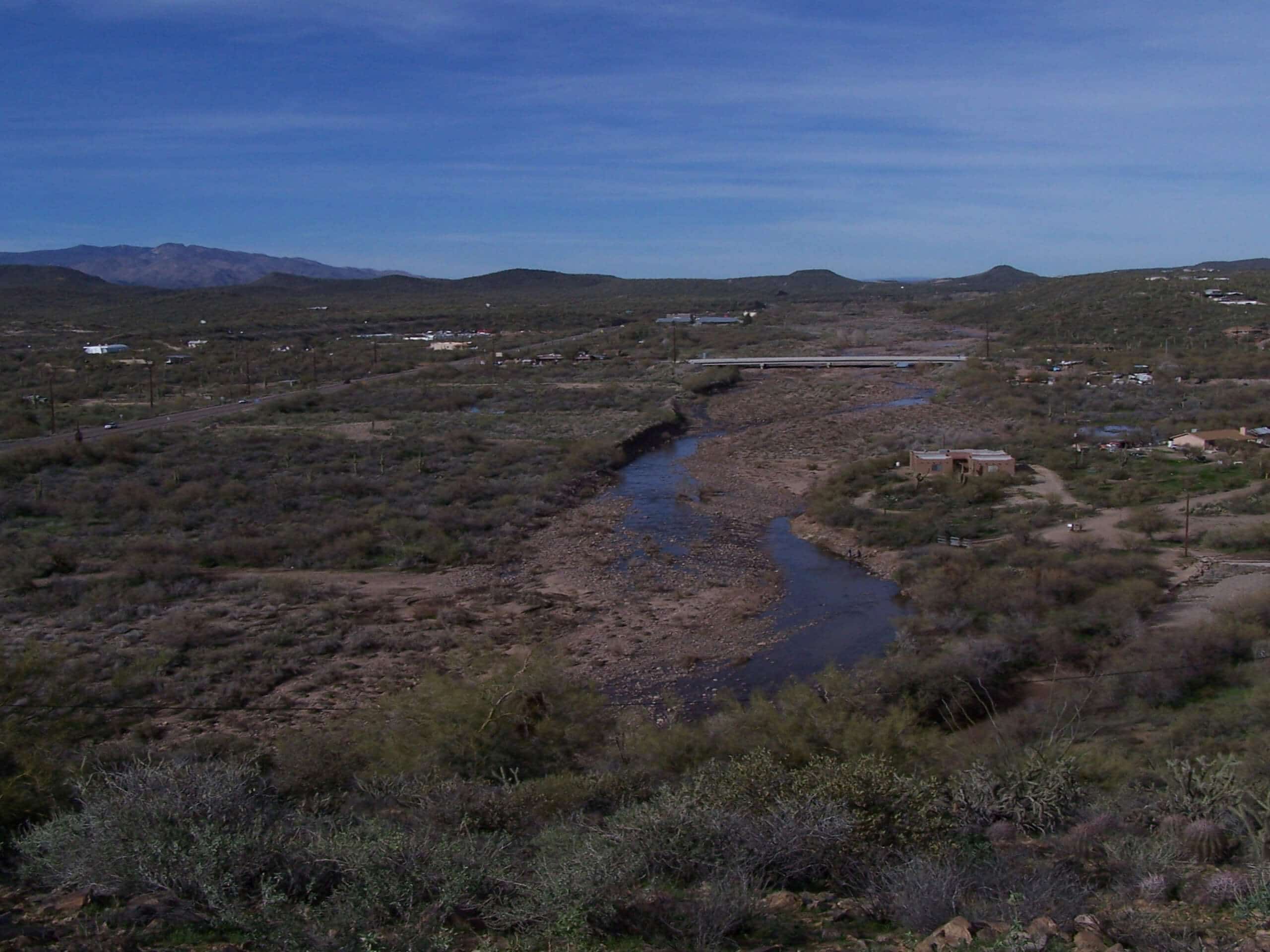
The New River Trail is an awesome pick for hikers and off-roaders alike, with impressive views of Table Mountain, North Mountian, and Red Mountain. Tall saguaros dot the trail, and the sunsets from up here are magical.
Since this trail is used by both hikers and vehicles, it’s important to share the trail, be aware while you’re hiking, and keep dogs leashed at all times. Bring plenty of water and consider skipping this hike in the summer months as there’s no shade.
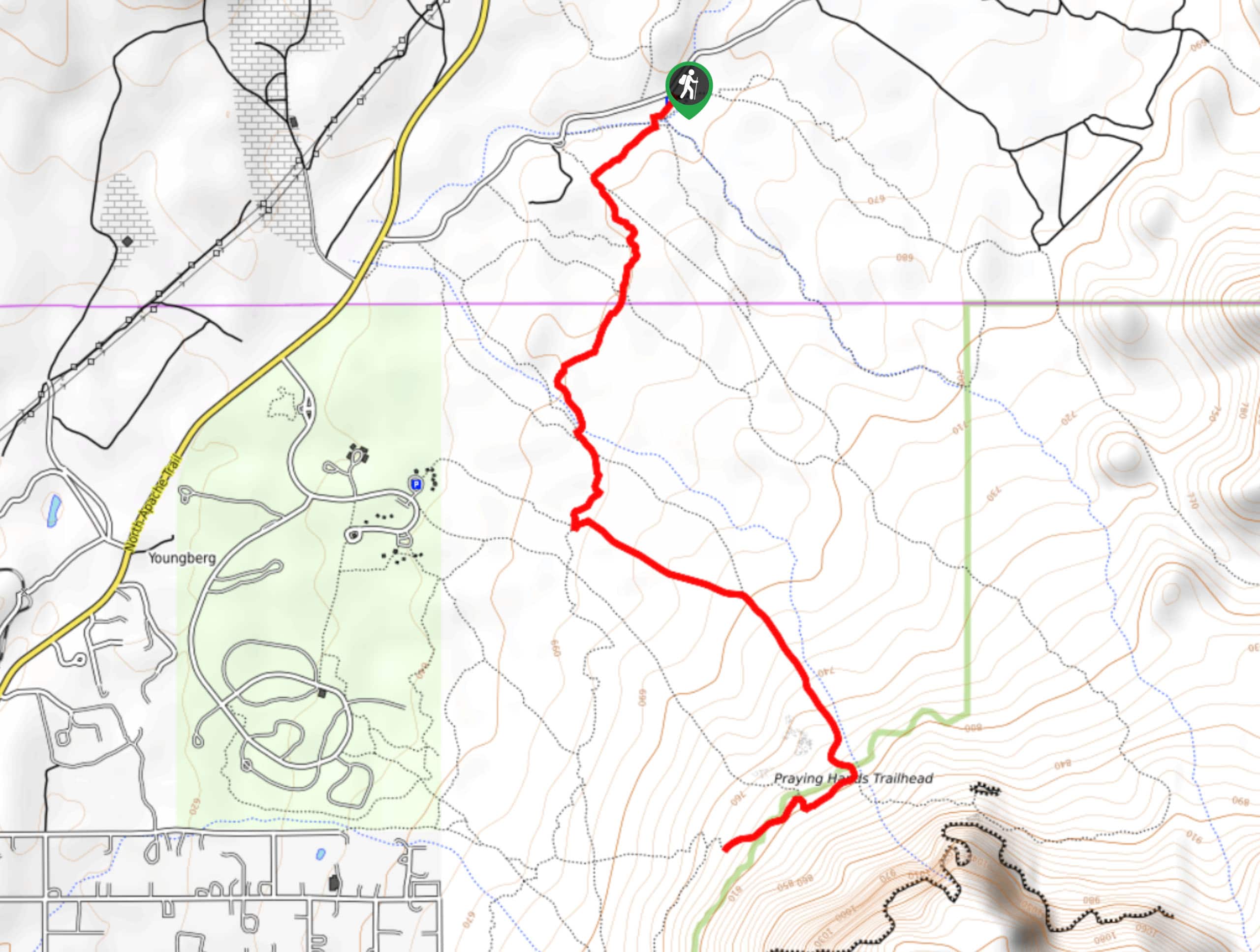
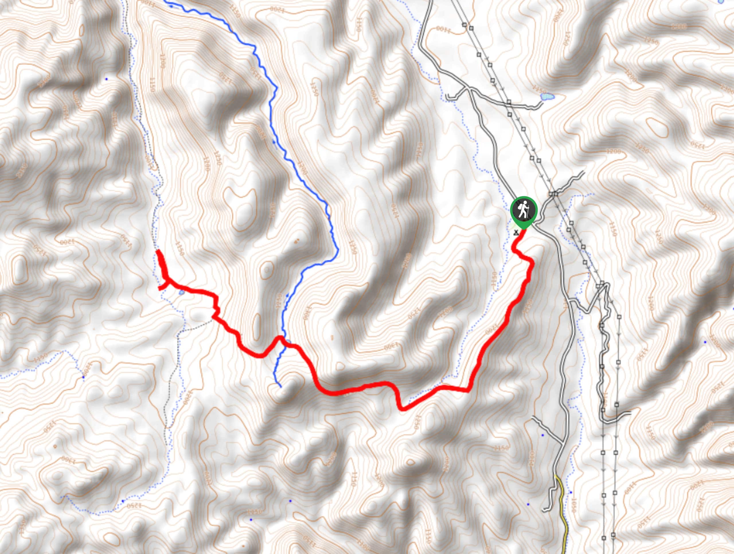
From the trailhead, you’ll take W Table Mesa Road out along the desert, roughly running alongside the New River. Table Mountain will be on your right as you hike through the mostly flat landscape, going straight through a junction to hike through a short canyon. On the other side, back on the flats, stay left. Into another canyon you gi, where you’ll finish your trail and turn around at the end.
Similar hikes to the New River Trail hike

Jacob’s Crosscut Trail
Jacob’s Crosscut Trail is an important route in the network of trails in Lost Dutchman State Park. This route is…

Bronco Trail
The Bronco Trail is a 7.9mi out and back route used for hiking and horseback riding. This trail…

Pine Canyon Trail Loop
The Pine Canyon Trail Loop in Pine, Arizona is a quick 2.7mi loop that is rated as easy.…


Comments