

Mount Peeley Trail
View PhotosMount Peeley Trail
Difficulty Rating:
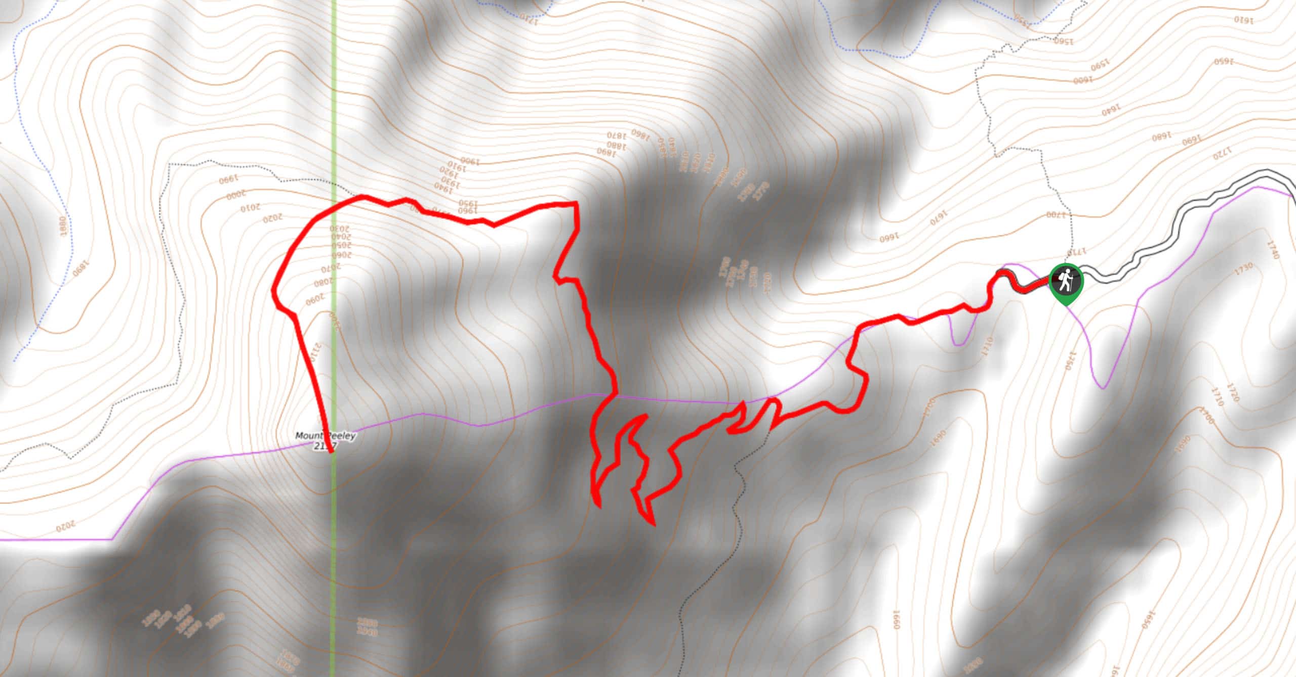
Mount Peeley Trail is a 5.0mi out and back trail near Payson that leads you up a mountain for awesome views of the range around you. This summit is fairly easy to reach as far as mountaintops go, and it doesn’t get overly busy. We do recommend coming armed with a GPS route to help you get right to the top, though. Expect moderate traffic on this hike.
Getting there
The trailhead for Mount Peeley Trail is at the end of Forest Road 201.
About
| Backcountry Campground | No |
| When to do | Year-round |
| Pets allowed | Yes - On Leash |
| Family friendly | Older Children only |
| Route Signage | Good |
| Crowd Levels | Moderate |
| Route Type | Out and back |
Mount Peeley Trail
Elevation Graph
Weather
Mount Peeley Trail Description
Mount Peeley is a rewarding summit that won’t take too long to reach, making it a fun trip when you want maximum views for minimum effort. With a panoramic viewpoint over the mountains surrounding you from the top, it’s a wonderful trail to explore, especially if you can spot some of the resident wildlife.
The route is well-signed, but it can be hard to follow near the summit regardless. We recommend downloading a GPS track and following it to the top should you struggle to locate the trail.
The condition of the road used to access the trailhead depends a lot on recent rainfall. Heavy rains tend to wash the road out and make it harder to drive, but most of the time it’s doable in a 2WD vehicle. Drive with caution until you can get a sense of its condition.
From the trailhead, you’ll meander up a modest grade until the switchbacks start. Stay right on the first one and then continue through a set of wider, steeper ones. You’ll then traverse to the north side of the mountain and turn directly uphill to approach the summit from the northeast. From the top, you’ll follow the same route back down.
Similar hikes to the Mount Peeley Trail hike
Jacob’s Crosscut Trail
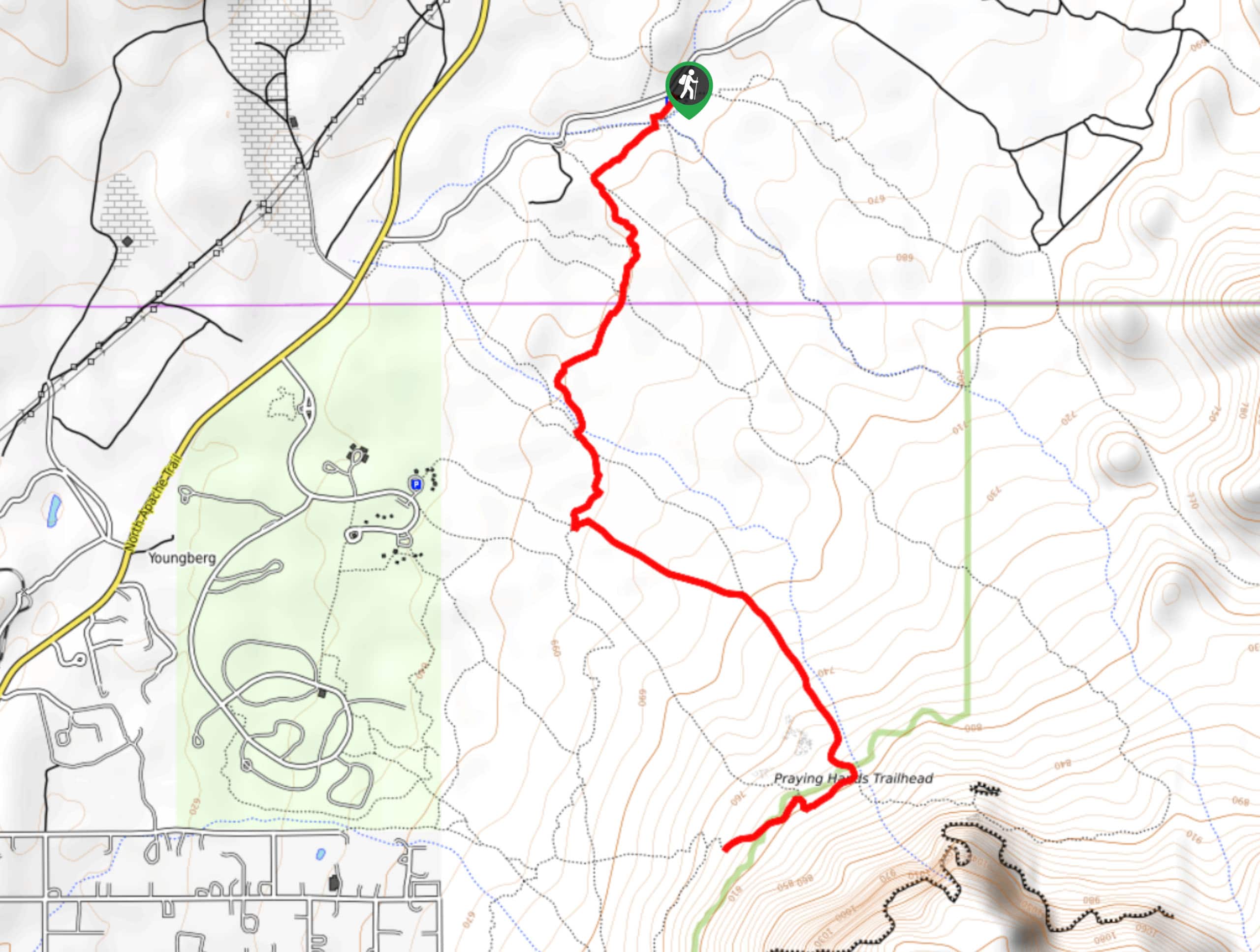
Jacob’s Crosscut Trail is an important route in the network of trails in Lost Dutchman State Park. This route is…
Bronco Trail
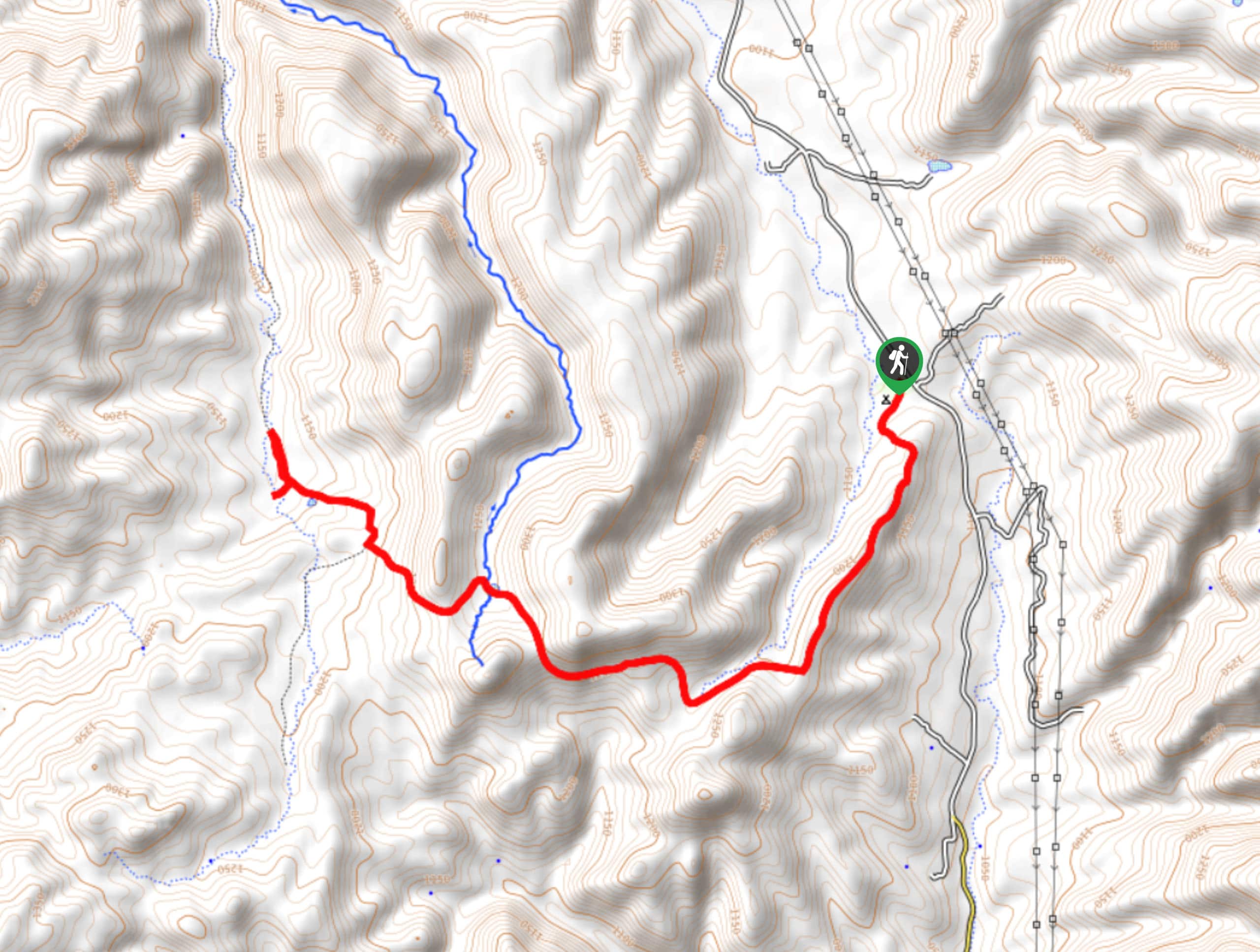
The Bronco Trail is a 7.9mi out and back route used for hiking and horseback riding. This trail…
Pine Canyon Trail Loop
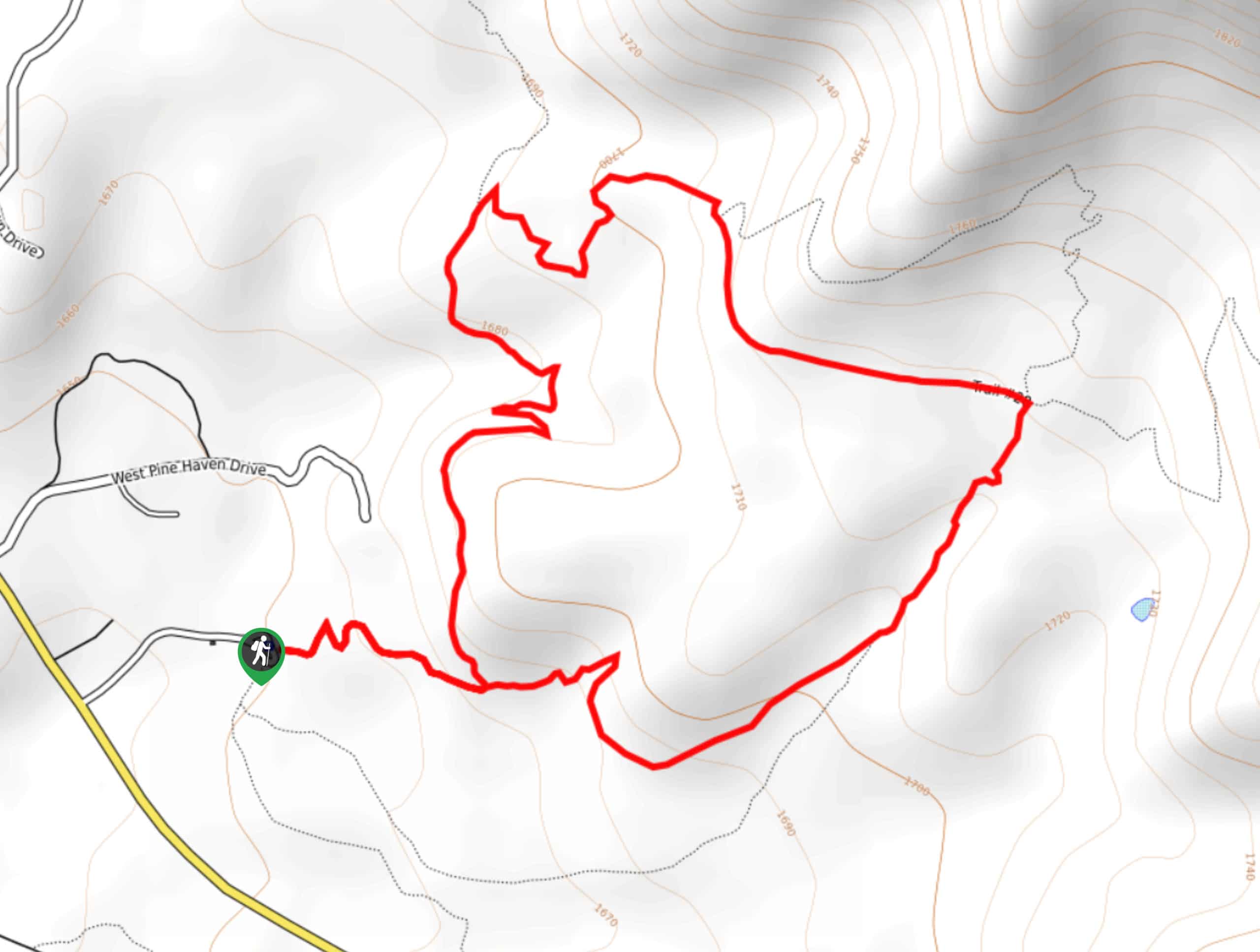
The Pine Canyon Trail Loop in Pine, Arizona is a quick 2.7mi loop that is rated as easy.…



Comments