

Houston Mesa Interpretive Trail
View PhotosHouston Mesa Interpretive Trail
Difficulty Rating:
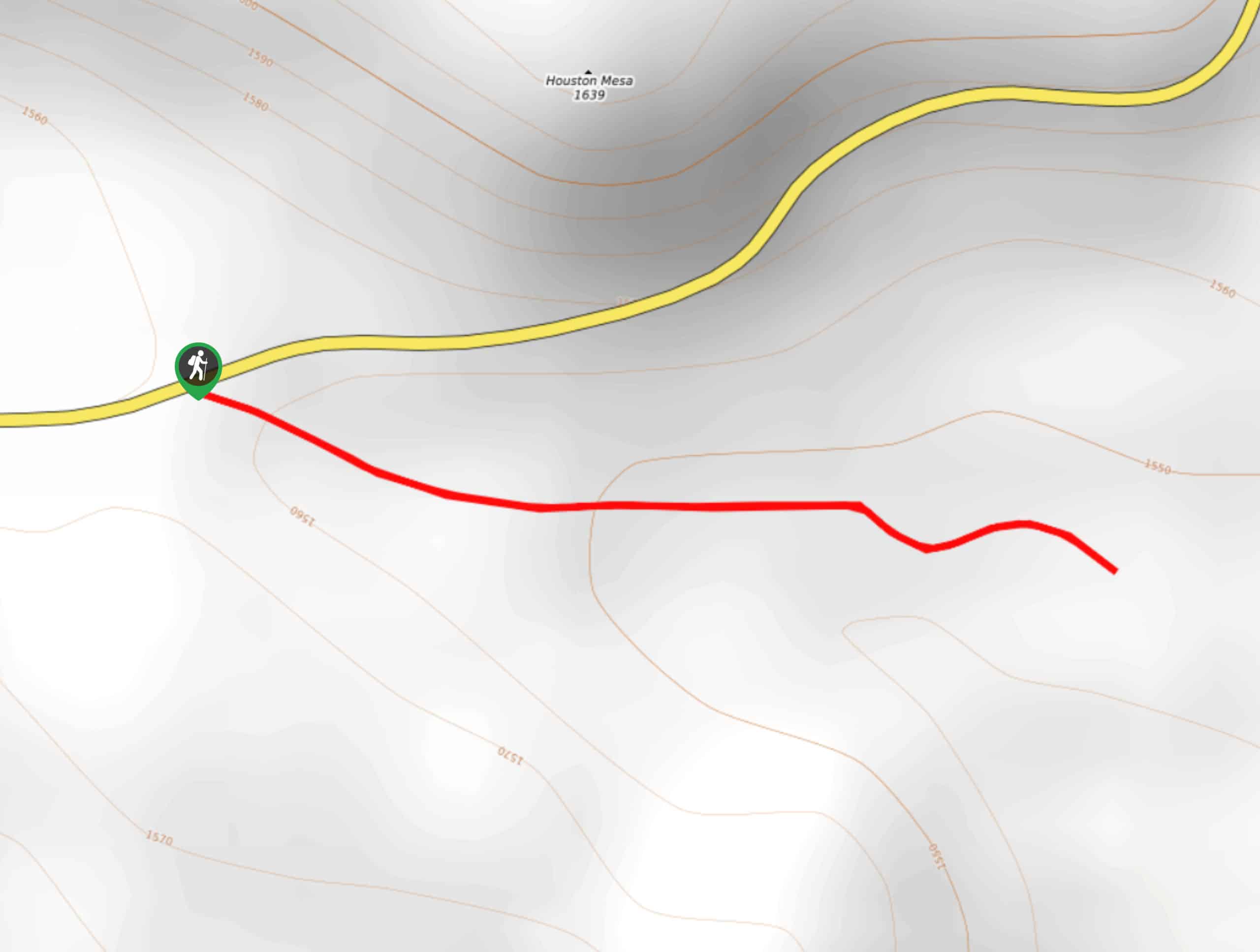
The Houston Mesa Interpretive Trail is a very quick trip near Houston Mesa that is great for families with small kids or those who want a short, simple hike. The views are pretty and the trail is easy to find your way on. It’s also conveniently close to town. Expect moderate traffic on this route.
Getting there
The trailhead for the Houston Mesa Interpretive Trail is on Houston Mesa Road.
About
| Backcountry Campground | No |
| When to do | Year-round |
| Pets allowed | Yes - On Leash |
| Family friendly | Yes |
| Route Signage | Good |
| Crowd Levels | Moderate |
| Route Type | Out and back |
Houston Mesa Interpretive Trail
Elevation Graph
Weather
Houston Mesa Interpretive Trail Description
The Houston Mesa Interpretive Trail is short and sweet, coming in at just under a mile and with essentially no elevation gain. It’s a great quick leg stretcher for families with small children, those with dogs, or hikers who just want to get outside on a time limit. The views are pretty and it’s usually not too busy.
This route can be used to link up with other trails in the system, so you can keep hiking further if this isn’t quite enough for you. You likely won’t need any GPS help navigating on this trail.
From the trailhead, the route stretches southeast. Enjoy the unique foliage of the area, revel in the cool shade, and admire the quietness of the trees. When you’re all done, you’ll simply turn back and retrace your steps to the trailhead.
Similar hikes to the Houston Mesa Interpretive Trail hike

Pine Canyon Trail Loop
The Pine Canyon Trail Loop in Pine, Arizona is a quick 2.7mi loop that is rated as easy.…

Roosevelt Cemetery and Arizona Trail Short Loop
The Roosevelt Cemetery sits on the shores of Theodore Roosevelt Lake, where 75 people were buried after the long, arduous…

200 Trail
200 Trail is a 2.6mi hike near Payson that is rated as easy, but it does still require…


Comments