

Horton Creek Trail
View PhotosHorton Creek Trail
Difficulty Rating:
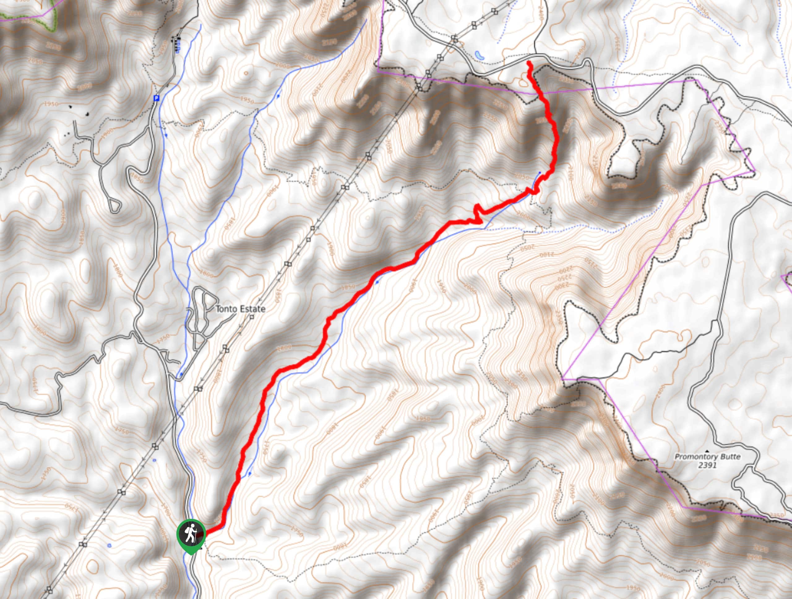
Horton Creek Trail is a 8.6mi route in the Tonto National Forest that sees heavy traffic. This is a popular hike with everyone from families to solo hikers to those with dogs. The trail follows along Horton Creek, taking you past waterfalls, small pools, and through trees.
This is a very relaxing hike, and despite the elevation gain and distance, it feels fairly gradual until a bigger climb at the end of the trail, which can be skipped in favor of an easier trip. The atmosphere is so serene and the natural beauty so apparent that you won’t notice how far you’re hiking or how you’re climbing.
We like this route on warm days when you can dip your feet in the creek to cool off. This is also a fun hike for those with dogs who love water.
Getting there
The trailhead for the Horton Creek Trail is off Zane Gray Highway.
About
| Backcountry Campground | Upper Tonto Creek |
| When to do | Year-round |
| Pets allowed | Yes - On Leash |
| Family friendly | Yes |
| Route Signage | Average |
| Crowd Levels | Extreme |
| Route Type | Out and back |
Horton Creek Trail
Elevation Graph
Weather
Horton Creek Trail Description
Horton Creek Trail is the most popular hike in this part of the Tonto National Forest. Hikers flock here for a few reasons: the trail is lush and has lots of shade, you can cool off in the creek on the way, it’s dog-friendly, the atmosphere is very relaxed, and the elevation gain is gradual enough (until the last bit of the hike) that you won’t feel like you’re huffing and puffing on this route.
This trail hugs the creek before climbing up the side of the mountain above the spring where the creek originates from. With massive trees and an awesome view, it’s an excellent place to revel in your accomplishment. Families with small kids and beginners can opt to turn back before the final climb if they’d prefer an easier hike.
This hike is great throughout the year, but it’s at its best in the fall when the colors come alive.
From the parking area, the trail heads out along the creek. You’ll be hiking alongside the creek essentially the whole way, making navigation easy.
As you hike, the grade is consistent but mild. You can stop to cool off in small pools and admire trickling waterfalls. Admire the trees and the moss that hugs the creek.
There are lots of good places to stop for a breather or dip your feet if you’re interested. When you start seeing junctions with side trails, you know that you’re nearing the spring where the creek originates from. Keep going straight through these junctions.
Where the spring is, you’ll have to decide if you want to take on the climb to the top of the mountain in front of you. The views are great, but you’ll need to gain lots of elevation and contend with loose rock. Skip it if that doesn’t seem like your cup of tea and take it on if you’re ready for the challenge.
From wherever you decide to call it a day, turn around and retrace your steps back to the trailhead.
Hiking Route Highlights
Horton Creek
Pretty little Horton Creek flows from a spring at the base of a wide butte in the Tonto National Forest. This water source supports a variety of plant and animal life and the trail that runs along the creek makes for a pleasant hike for visitors to the area.
Frequently Asked Questions
Do you need a pass for Horton Creek?
You’ll need a day pass or a Tonto Discovery Pass for this hike.
Can you swim in Horton Creek?
Yes, you can swim in the creek.
Insider Hints
Bring wading shoes if you’d like to cool your feet off as you hike this trail.
If you’re going to make the climb at the end, poles and good boots are essential.
Similar hikes to the Horton Creek Trail hike

Jacob’s Crosscut Trail
Jacob’s Crosscut Trail is an important route in the network of trails in Lost Dutchman State Park. This route is…

Bronco Trail
The Bronco Trail is a 7.9mi out and back route used for hiking and horseback riding. This trail…

Perlite Road to Arnett Creek Loop
The Perlite Road to Arnett Creek Loop takes you through a section of the Boyce Thompson Arboretum grounds and through…


Comments