

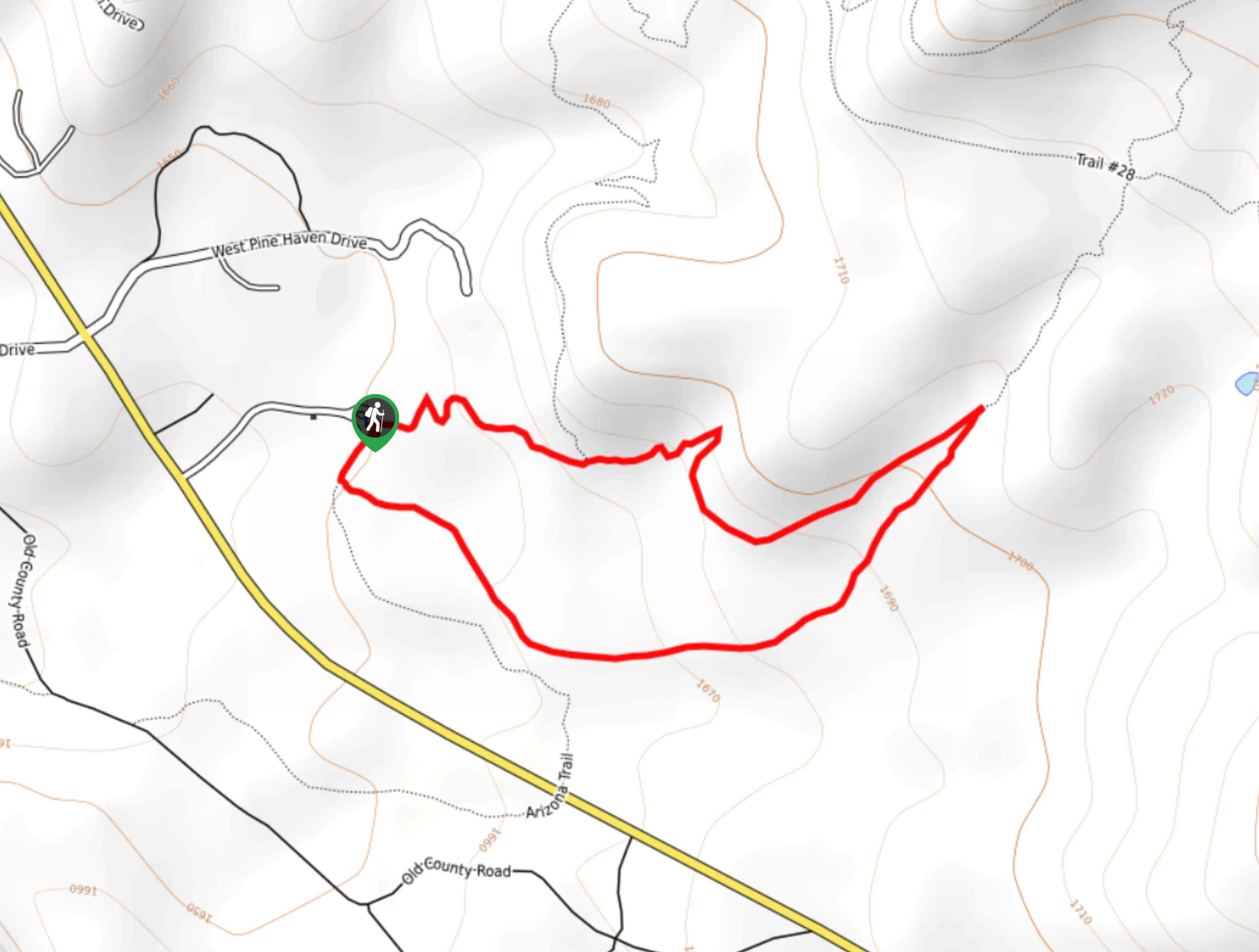
Highline and Pine Loop
View PhotosHighline and Pine Loop
Difficulty Rating:
The Highline and Pine Loop is a quick hike near Pine, Arizona. This route is moderately trafficked and it’s favored by locals for its super easy terrain and nice views. Grandparents, kids, beginners, and almost everyone else can hike this little loop together. Dogs are also welcome on this route as long as they’re kept on leash. There are also connecting trails on the north side of the loop that can be used if you want to extend your adventure a little bit.
Getting there
The trailhead for the Highline and Pine Trail Loop is at the end of Forest Road 297.
About
| Backcountry Campground | No |
| When to do | Year-round |
| Pets allowed | Yes - On Leash |
| Family friendly | Yes |
| Route Signage | Average |
| Crowd Levels | Moderate |
| Route Type | Loop |
Highline and Pine Loop
Elevation Graph
Weather
Highline and Pine Loop Description
The Highline and Pine Loop is a super quick, very easy hike near Pine that is suitable for all ages and skill levels. Use it to get outside with the kids, with the grandparents, with the dogs, or by yourself as a brief leg-stretcher. You can enjoy the quick trip or you can use the connecting trails to lengthen your adventure if you’d prefer a longer hike.
While this loop is easy enough for all skill levels, it’s not ADA compliant as it’s not paved. Hikers in wheelchairs should evaluate the hard-packed dirt footing before planning to use this trail.
From the trailhead, you can hike the route either clockwise or counterclockwise. Clockwise, you’ll head around to the base of the rock formation beside you, hiking along its edge. Stay right at both junctions. Make a sharp right to return along the southern side of the loop, where you’ll find yourself back at the trailhead.
Similar hikes to the Highline and Pine Loop hike
Pine Canyon Trail Loop
The Pine Canyon Trail Loop in Pine, Arizona is a quick 2.7mi loop that is rated as easy.…
Roosevelt Cemetery and Arizona Trail Short Loop
The Roosevelt Cemetery sits on the shores of Theodore Roosevelt Lake, where 75 people were buried after the long, arduous…
200 Trail
200 Trail is a 2.6mi hike near Payson that is rated as easy, but it does still require…


Comments