Bulldog Canyon Hike
View Photos
Bulldog Canyon Hike
Difficulty Rating:
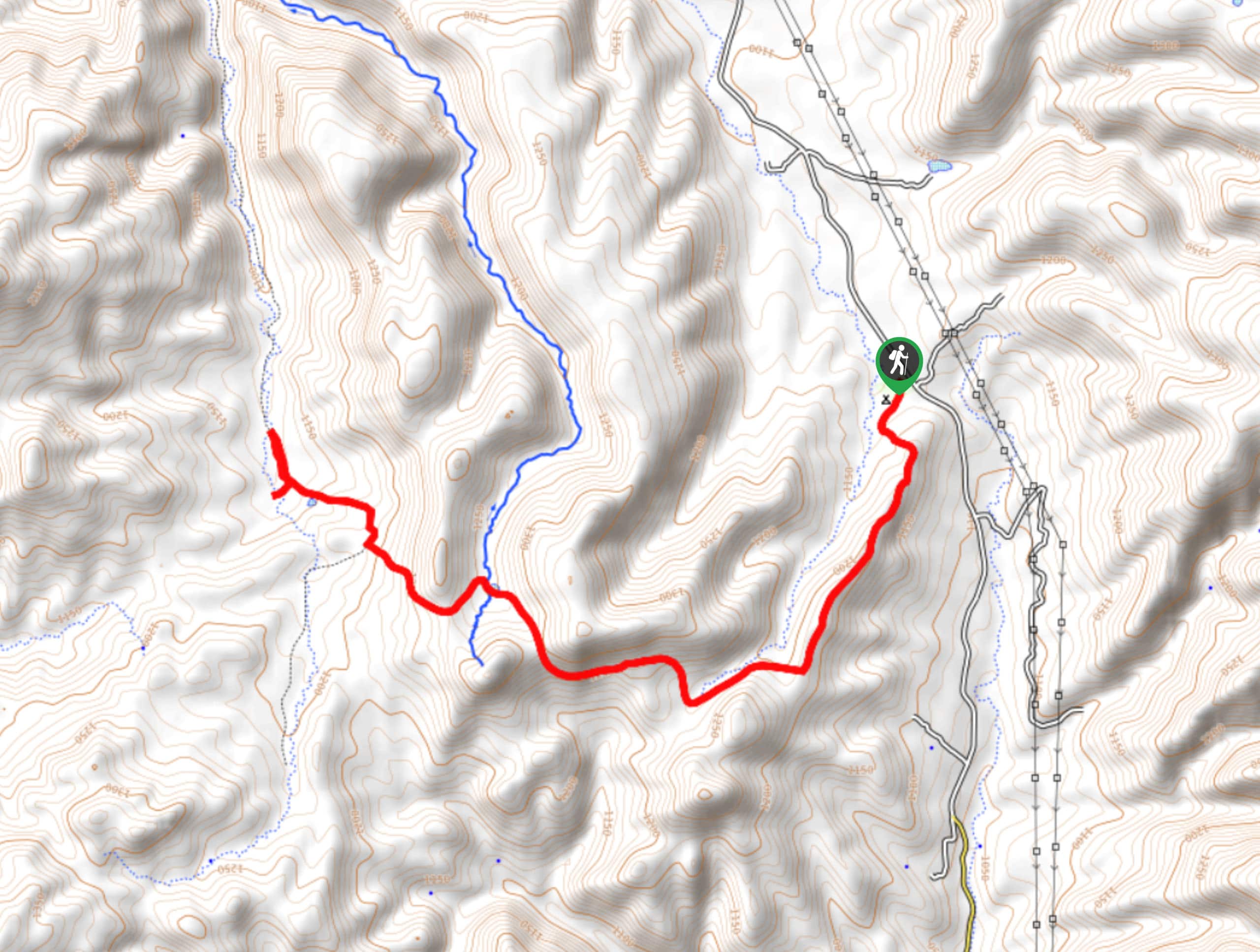
The Bulldog Canyon hike is a fun trail that starts right from the city limits of Apache Junction, Arizona. The hike takes you beside Dome Mountain, Lone Mountain, and Pass Mountain. The views are awesome and the hike will get your legs working without being overly strenuous. This is a good pick if you want to feel like you’re in the mountains without having to actually climb one. This route is shared by vehicle and horse traffic. Additionally, you can hike just a portion of this route if a point-to-point doesn’t work for you.
Getting there
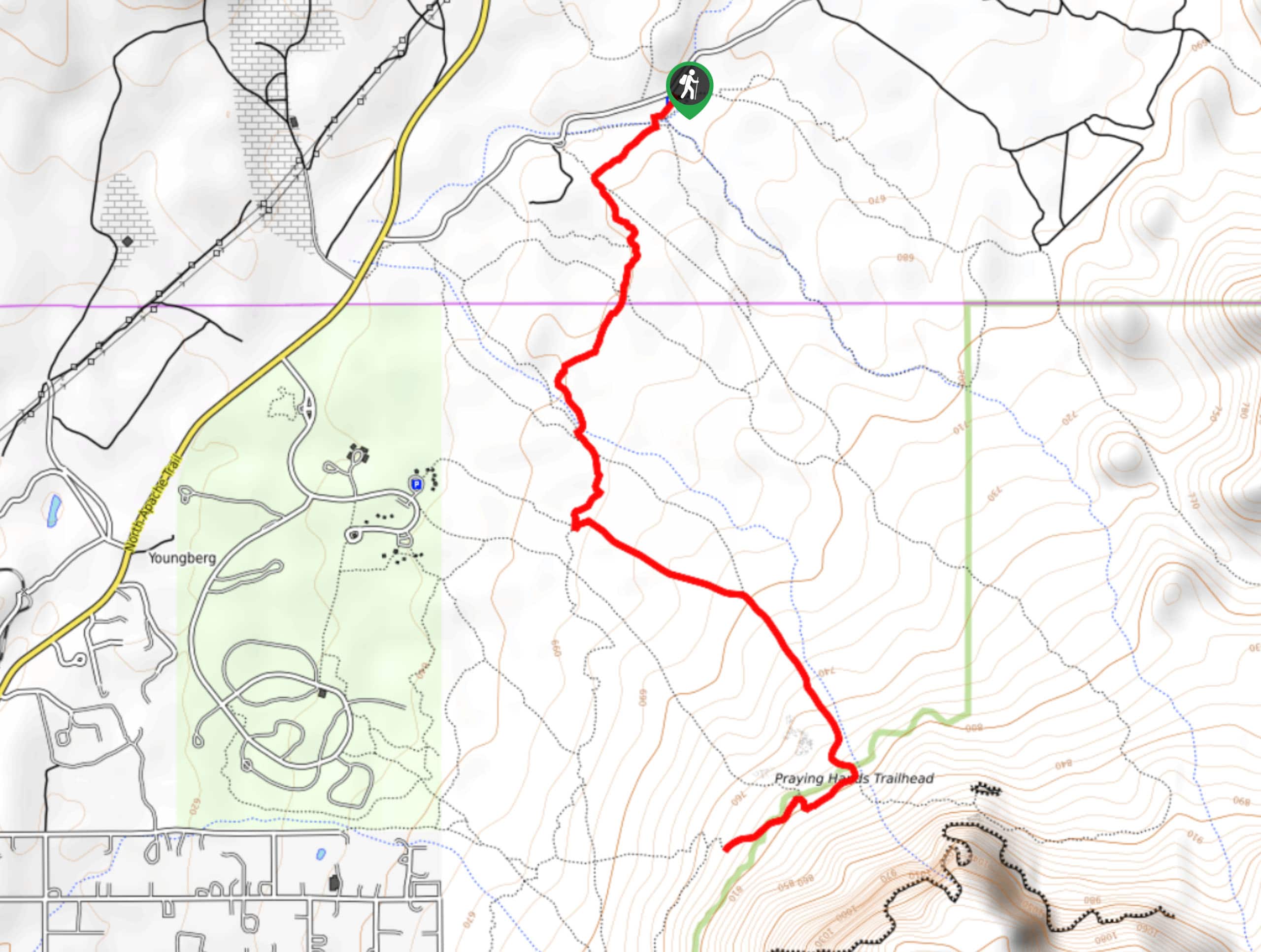
The trailhead for the Bulldog Canyon hike is on N Cactus Road.

About
| Backcountry Campground | No |
| When to do | Year-round |
| Pets allowed | Yes - On Leash |
| Family friendly | Older Children only |
| Route Signage | Average |
| Crowd Levels | Moderate |
| Route Type | One Way |
Bulldog Canyon Hike
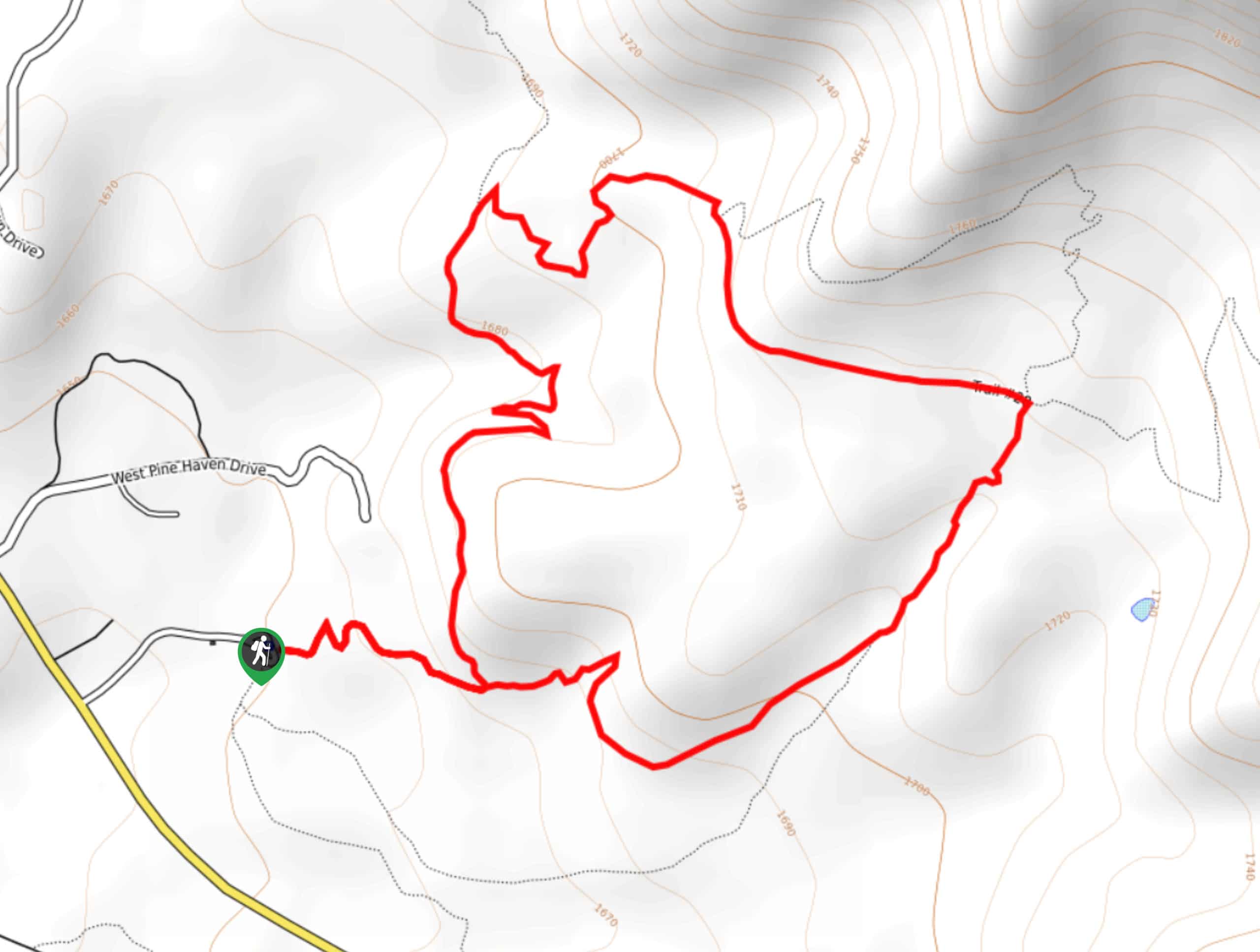
Elevation Graph
Weather
Bulldog Canyon Hike Description
The Bulldog Canyon hike delivers great mountain scenery without requiring you to climb a mountain and without needing to go very far out of town for those in the Apache Junction area. Departing right from the edge of town, it feels very remote for an easily-accessible hike. This route is also popular with off-road vehicles and horseback riders. Remember to share the trail.
This route isn’t very well-signed despite its convenient location, so we recommend referring to a GPS track if it’s your first time out. Additionally, this trail doesn’t offer much relief in the way of shade and it can get scorchingly hot in this part of Arizona. Bring lots of water, wear sunscreen, and pop a hat on.
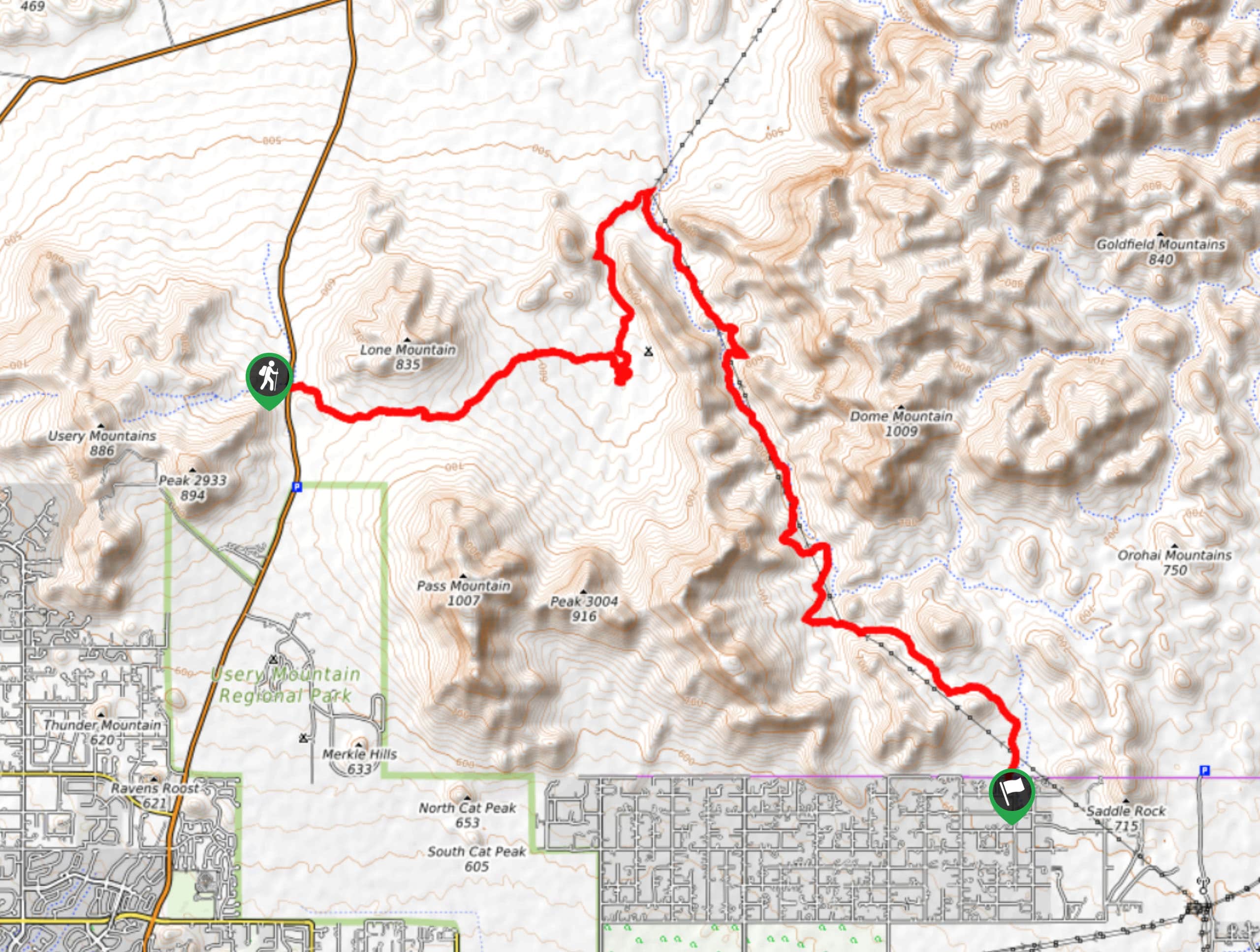
From the trailhead, take the route ahead, staying left at the fork. Stay right at the next junction and then roughly follow the creek (which may or may not have any water in it) through the canyon with Dome Mountain on your right. At the end of the canyon, take a left to head south and then a right to hike between Lone Mountain and Pass Mountain. This will take you to N Usery Pass Road, the other trailhead.
Insider Hints
Hikers and horseback riders don’t need a permit for this hike, but OHVers do. Permits are free.
Similar hikes to the Bulldog Canyon Hike hike
Jacob’s Crosscut Trail
Jacob’s Crosscut Trail is an important route in the network of trails in Lost Dutchman State Park. This route is…
Bronco Trail
The Bronco Trail is a 7.9mi out and back route used for hiking and horseback riding. This trail…
Pine Canyon Trail Loop
The Pine Canyon Trail Loop in Pine, Arizona is a quick 2.7mi loop that is rated as easy.…
Comments