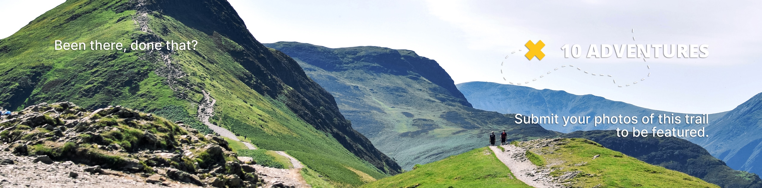
Bronco Trail
View Photos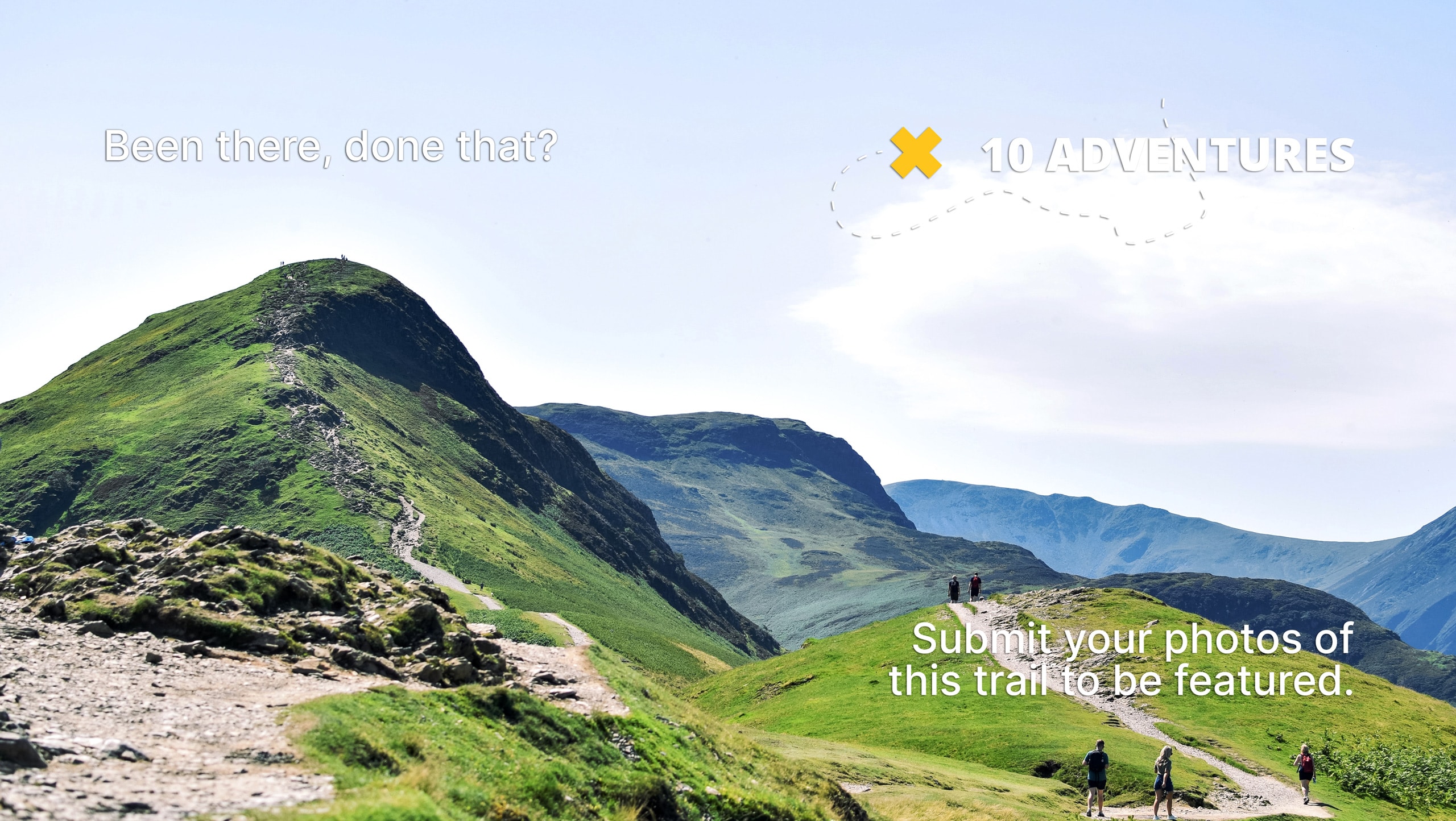
Bronco Trail
Difficulty Rating:
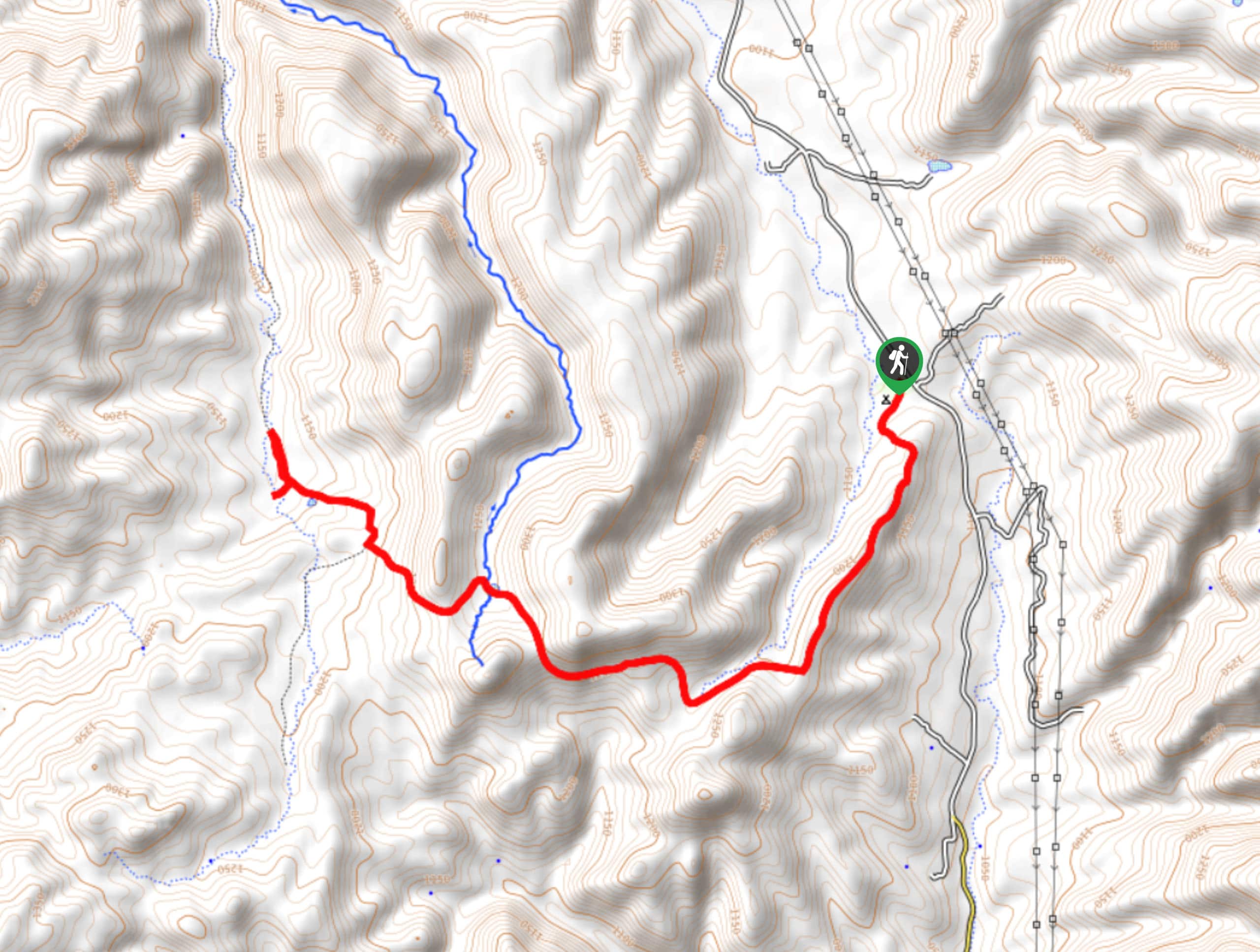
The Bronco Trail is a 7.9mi out and back route used for hiking and horseback riding. This trail sees very little traffic, so pick it on a day where you want to feel like you have the place to yourself. This hike is a bit steep in parts, but you’ll be distracted by the scenery, which stays green into the summer in a way that other trails in the area usually don’t. There’s some camping space near the trailhead, too.
Getting there
The trailhead for the Bronco Trail is off Seven Springs Road.

About
| Backcountry Campground | Bronco Trailhead Dispersed Camping |
| When to do | September-May |
| Pets allowed | Yes - On Leash |
| Family friendly | No |
| Route Signage | Average |
| Crowd Levels | Low |
| Route Type | Out and back |
Bronco Trail
Elevation Graph
Weather
Bronco Trail Description
Bronco Trail is a 7.9mi out and back hike in the Tonto National Forest that is used by hikers and horseback riders. It sees very little traffic, so you’ll be able to enjoy the scenery without much company if any at all. There’s some dispersed camping near the trailhead if you want to backpack instead.
There’s no cell reception for most users on this hike, so you may want to have your GPS route downloaded ahead of time. Additionally, prepare for a hot hike if you’re here near the summertime.
The route is quite straightforward. You’ll pass the camping area and head up the ridge beside the creek. There aren’t any junctions until later on, so it’s fairly smooth sailing. You’ll have some steeper climbs interspersed along the trail, and the climb otherwise is quite consistent. The trail ends at the junction with Trail 247, where you’ll turn around and retrace your steps.
Similar hikes to the Bronco Trail hike
Jacob’s Crosscut Trail
Jacob’s Crosscut Trail is an important route in the network of trails in Lost Dutchman State Park. This route is…
Pine Canyon Trail Loop
The Pine Canyon Trail Loop in Pine, Arizona is a quick 2.7mi loop that is rated as easy.…
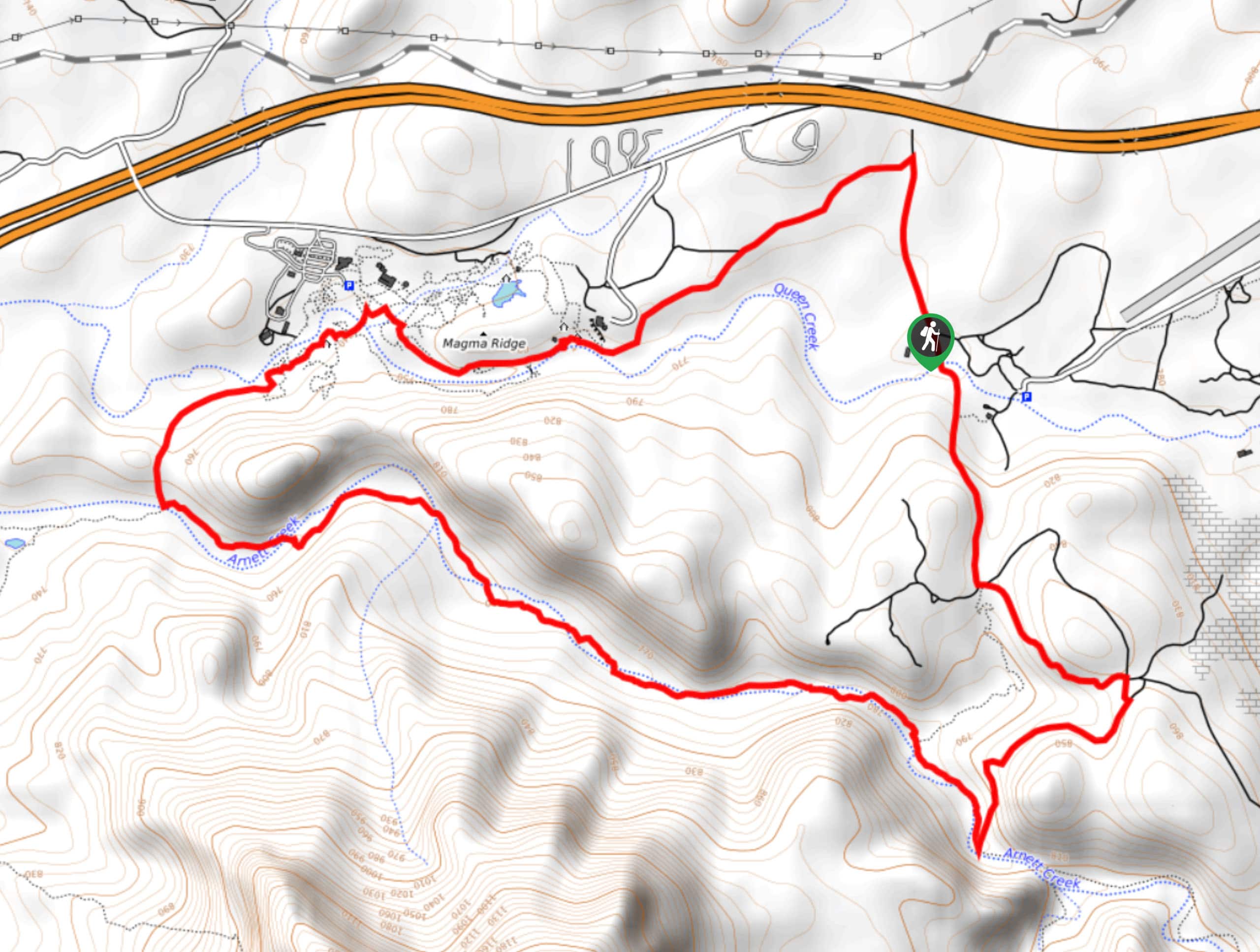
Perlite Road to Arnett Creek Loop
The Perlite Road to Arnett Creek Loop takes you through a section of the Boyce Thompson Arboretum grounds and through…
Comments