Logger’s Creek Nature Trail
View Photos
Logger’s Creek Nature Trail
Difficulty Rating:
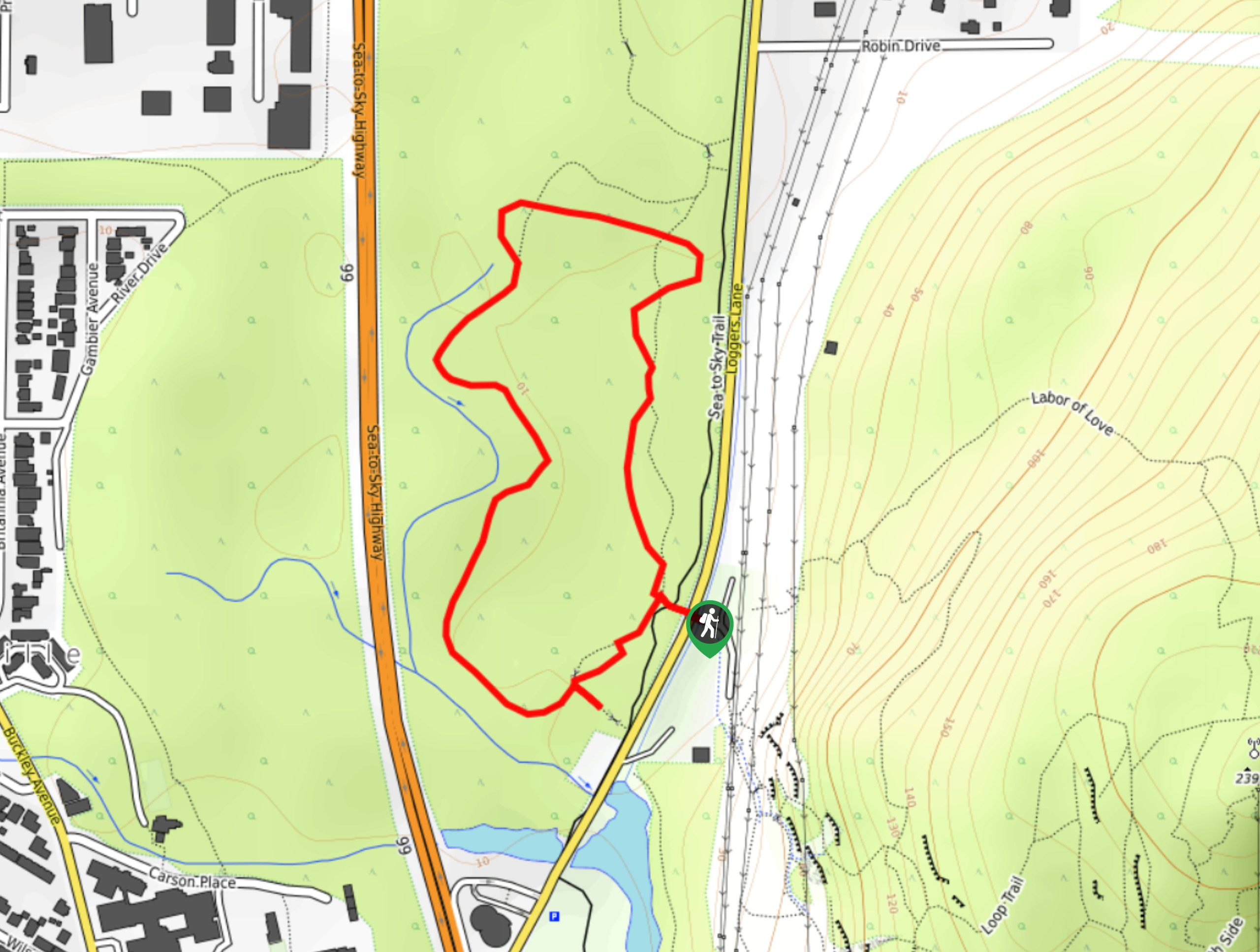
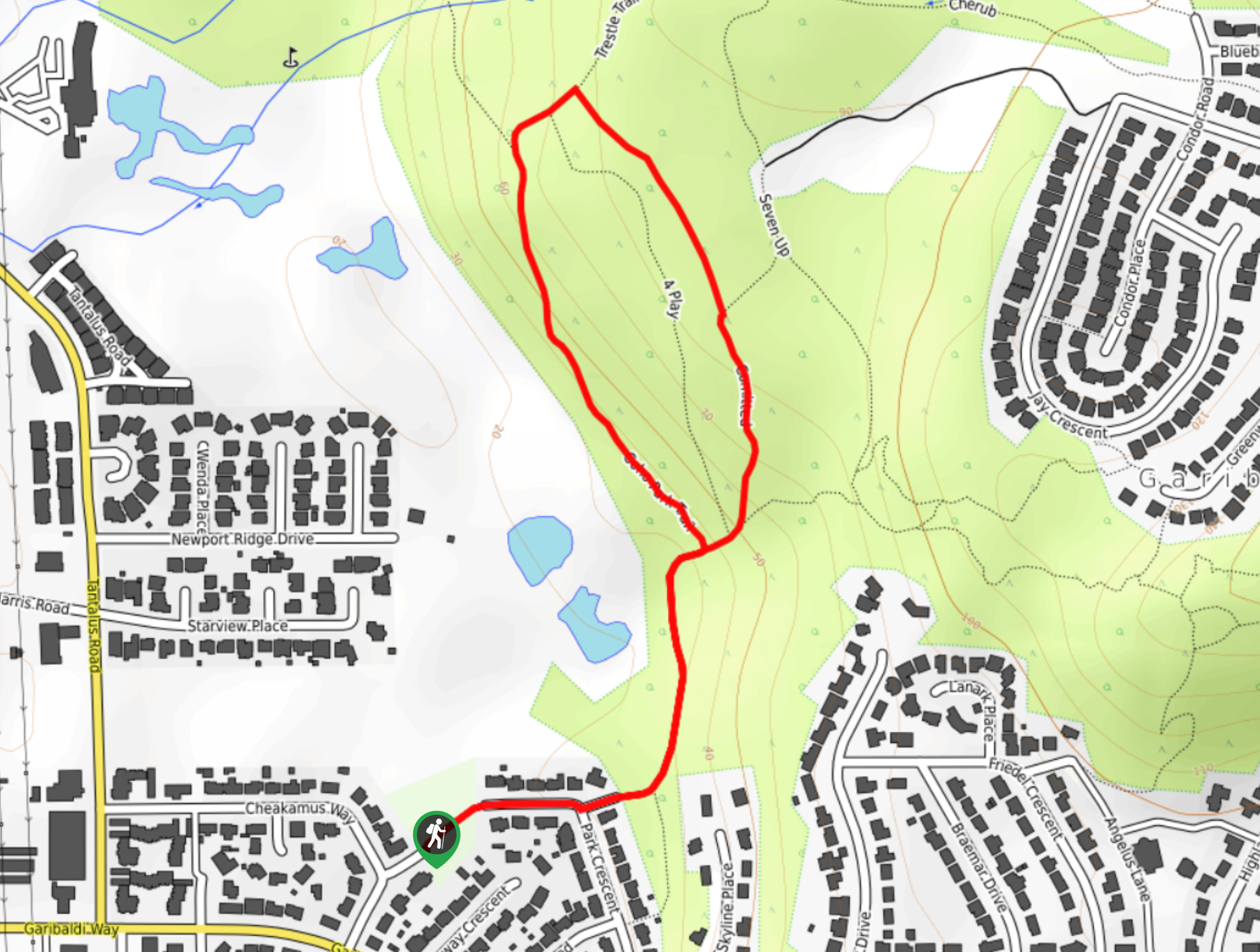
Hike along the Logger’s Creek Nature Trail to experience the peaceful forests that make Squamish such a scenic town. Along this 1.3mi trail, you will find sensitive wildlife habitats, such as frog breeding ponds, and a variety of local vegetation that is densely populated throughout the area. This is an easy trail that families will enjoy, allowing young children to explore nature without getting into any trouble.
Getting there
To reach the parking area for the Logger’s Creek Nature Trail from Squamish, drive north on BC-99 N and make a right turn onto Logger’s Lane. After 2461ft, make another right to enter the parking area.

About
| When to do | Year-Round |
| Backcountry Campsites | No |
| Pets allowed | Yes - On Leash |
| Family friendly | Yes |
| Route Signage | Average |
| Crowd Levels | Low |
| Route Type | Circuit |
Logger’s Creek Nature Trail
Elevation Graph
Weather
Logger’s Creek Nature Trail Description
The Logger’s Creek Nature Trail is a short, densely forested hike located right off the Sea to Sky Highway in the heart of Squamish that features thick vegetation and sensitive wildlife habitats, such as frog breeding ponds. This trail is a literal walk in the park, with perfectly maintained gravel paths and almost no change in elevation along the route. This makes it a great outing for the whole family—hikers of all ages and skill levels will enjoy the trail, but remember to bring bug spray, as the route is also popular with mosquitoes.
Similar hikes to the Logger’s Creek Nature Trail hike
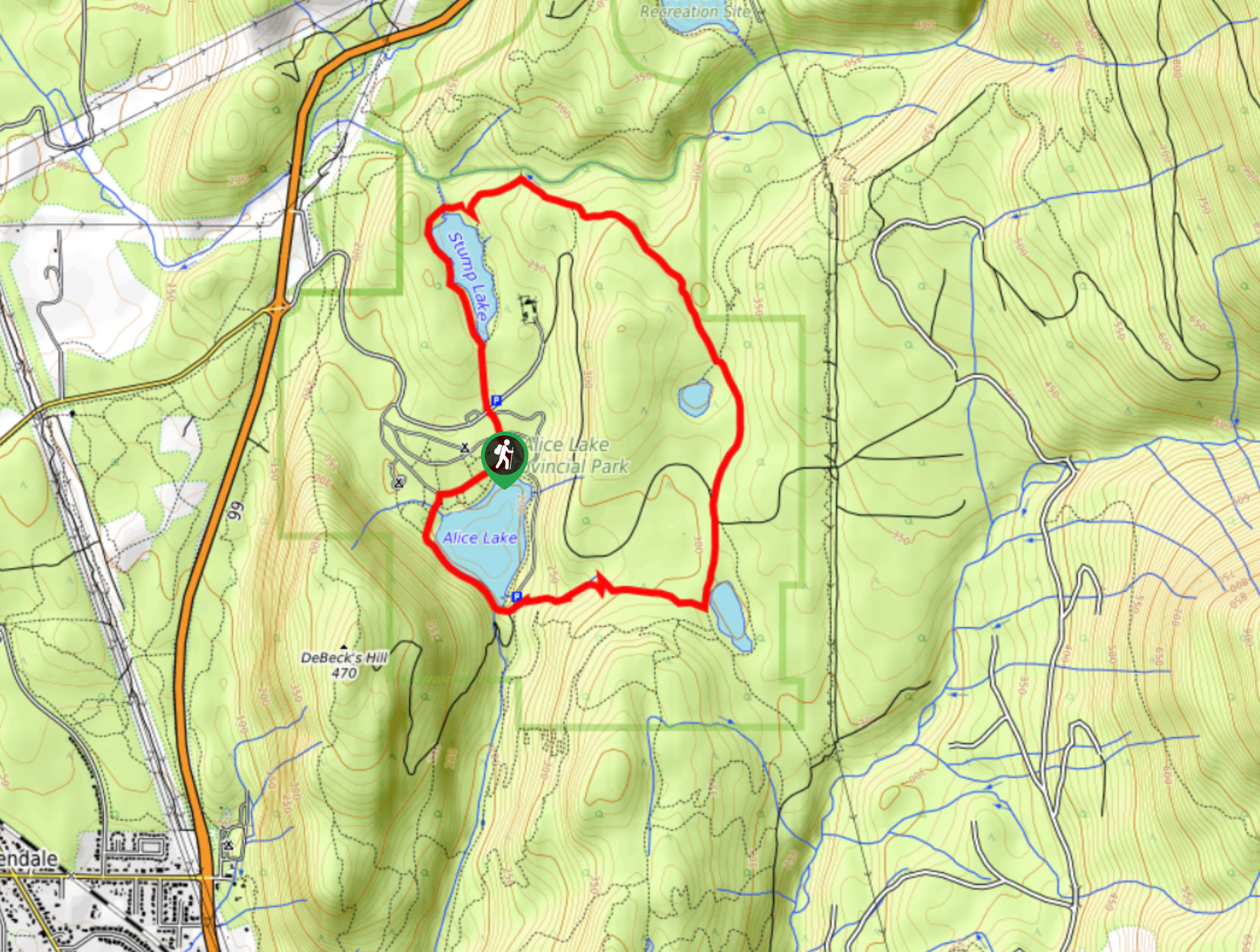
Four Lakes Trail
The Four Lakes Trail is a 4.5mi hiking route that travels through Alice Lake Provincial Park on a…
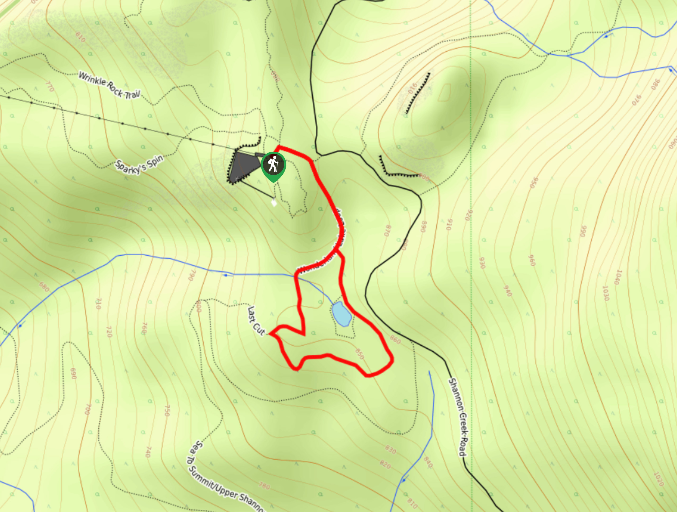
Wonderland Lake Loop
The Wonderland Lake Loop is a short trail that sets out from the top of the Sea to Sky Gondola…
Coho Park Trail
The Coho Park Trail is a short 1.7mi hiking route that takes hikers through a beautiful stretch of…
Comments