
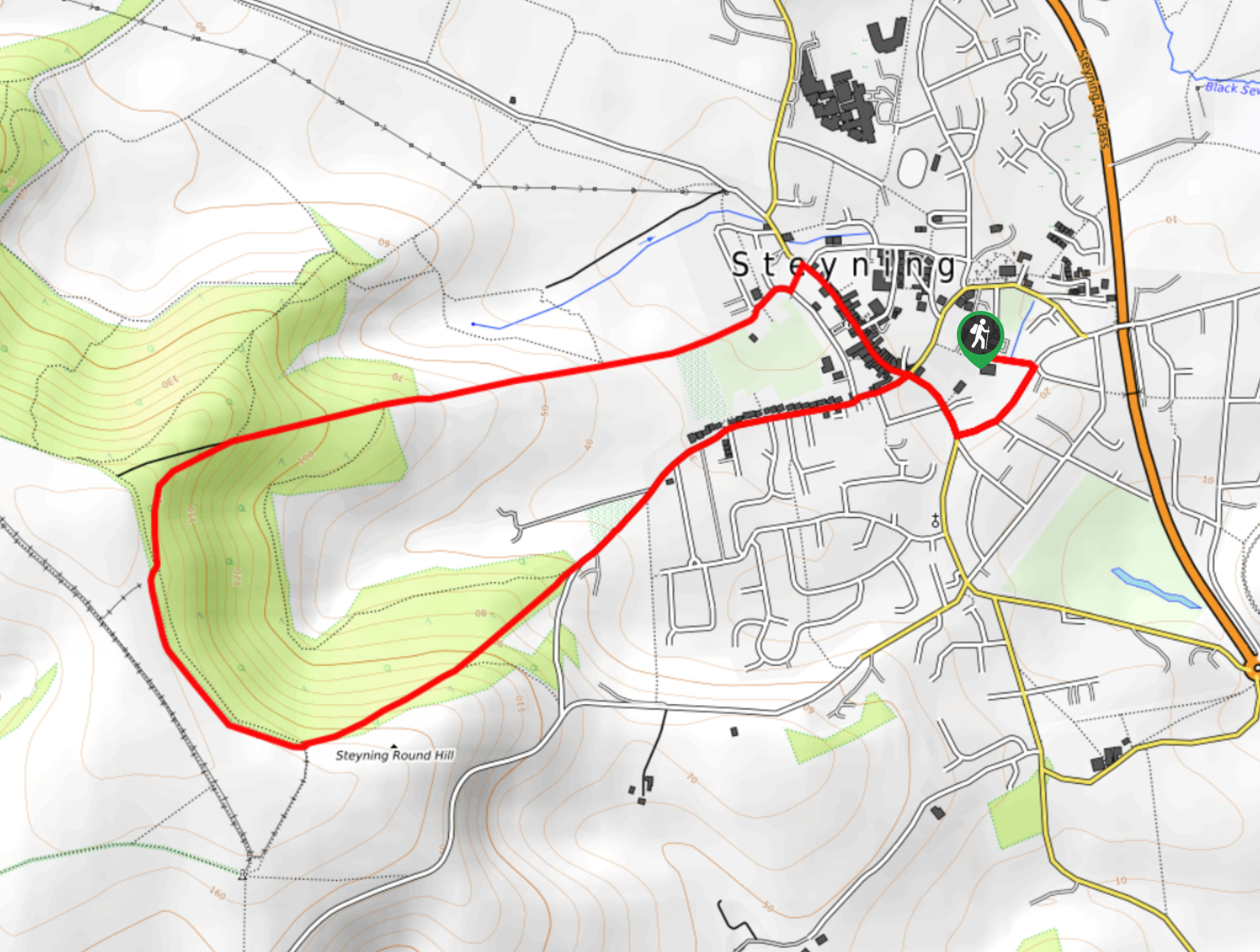
Steyning Upper Horseshoe Walk
View Photos
Steyning Upper Horseshoe Walk
Difficulty Rating:
The Steyning Upper Horseshoe Walk is a path along a beautiful setting that boasts views of South Downs National Park. Climbing high into the park, you will follow the ridge along the path and see the rolling countryside in the distance. Get ready for a heart pumping walk as this path, although short in length, is quite a strenuous trek.
Getting there
To get to Steyning Upper Horseshoe Walk from Worthing, follow Broadwater Rd/A24, Sompting Avenue and A27to Church Lane in Sompting and in 2.1mi, take Titch Hill and Bostal Road to Bramber Road in Steyning. Continue on Bramber Road to Wykeham Cl and turn right onto Wykeham Cl, and arrive at your destination.

About
| When to do | May - September |
| Backcountry Campsites | No |
| Pets allowed | Yes |
| Family friendly | No |
| Route Signage | Average |
| Crowd Levels | Moderate |
| Route Type | Circuit |
Steyning Upper Horseshoe Walk
Elevation Graph
Weather
Steyning Upper Horseshoe Walk Description
The Steyning Upper Horseshoe Walk is a stunning stroll that takes you high into South Downs National Park. Ensure to wear comfortable walking shoes as in the beginning of this path you will climb a rather steep hill which will take you to the top of the path and you will follow along the ridge. As you wander along this ridge, you will be able to marvel at the incredible views and scenery that are offered by this walk. Keep an eye out for cattle grazing in the fields as you continue on this path. As you begin your descent, you will find yourself back at the beginning of the path as this is a circular walk. Take some time exploring the beautiful small market town of Steyning before carrying on.
Similar hikes to the Steyning Upper Horseshoe Walk hike
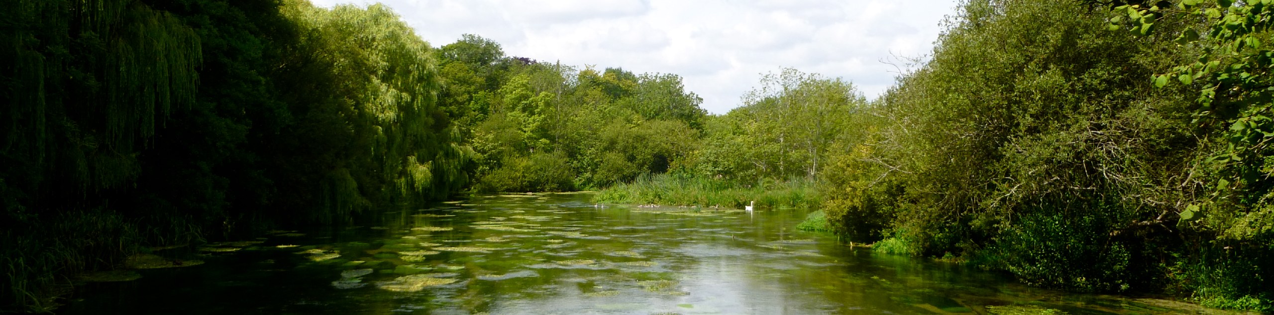
Avington and Ovington Walk
Meander through lovely countryside fields and across bridges leading you over rivers carved into the stunning South Downs landscape on…
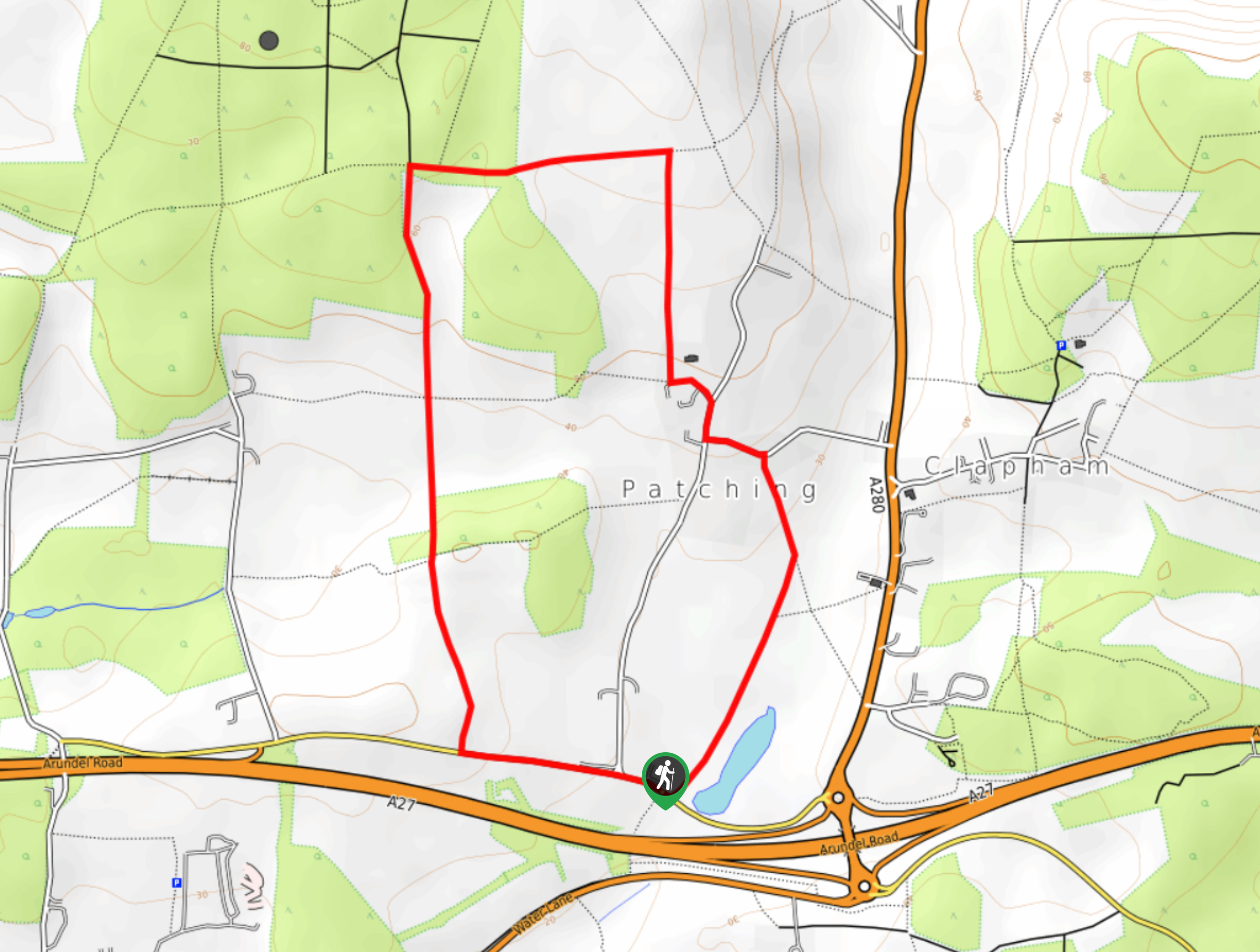
Worlds End and Patching Circular Walk
The Worlds End and Patching Circular Walk is a great path for the whole family, thanks to the gentle gradient…
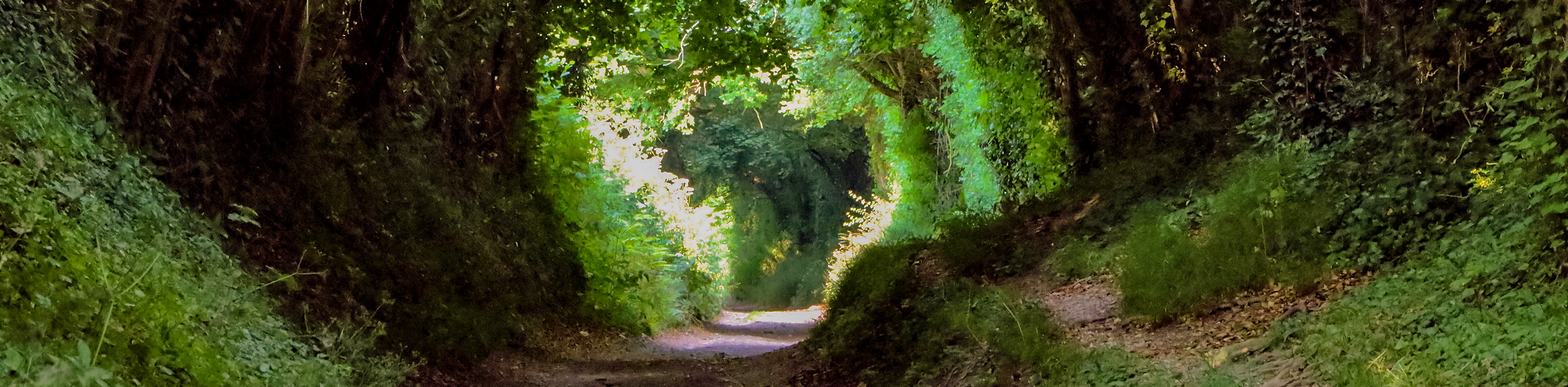
Halnaker Circular Walk
The Halnaker Circular Walk is a beautiful stroll filled with open meadows, woodland and stunning scenery. There are stiles and…
Comments