Pulborough Brooks Loop Walk
View Photos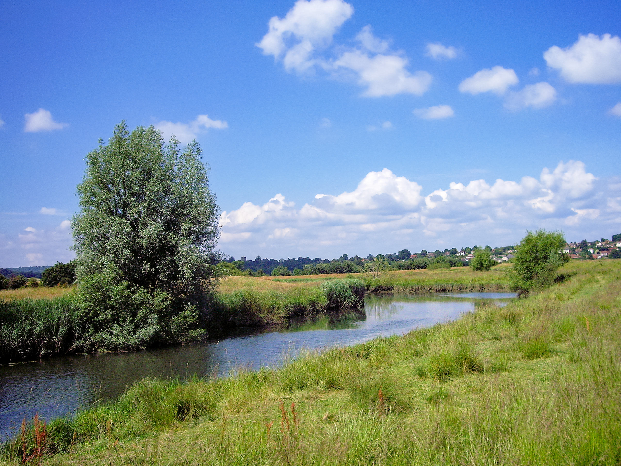
Pulborough Brooks Loop Walk
Difficulty Rating:
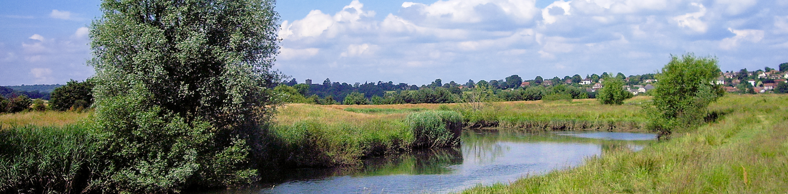
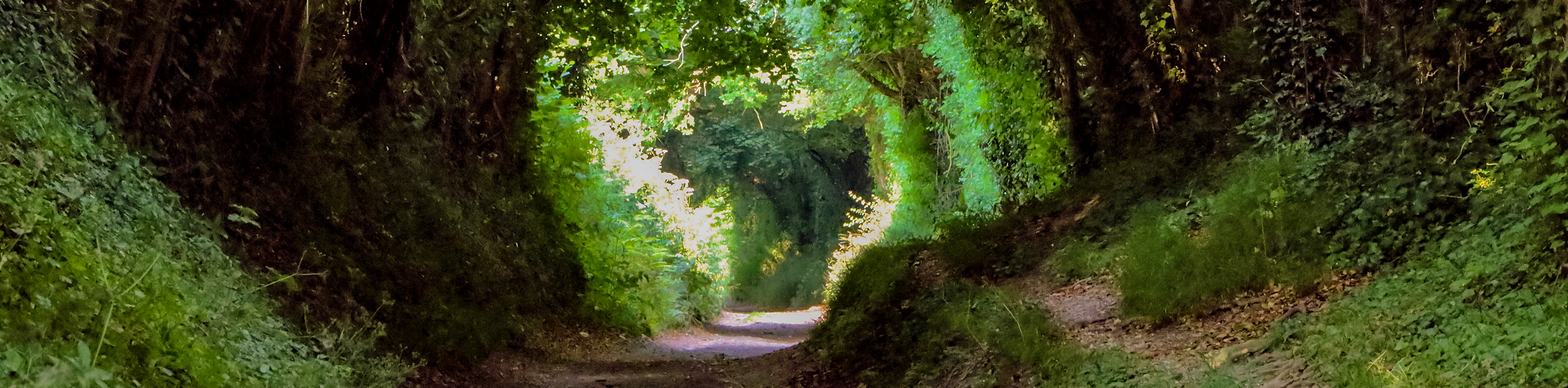
The Pulborough Brooks Loop Walk is a stunning stroll that provides views of the South Downs National Park. The path is along the River Arun and is a flood plain, so it is best to travel along this path in the summer months. Along the path, take a break and visit the Wiggonholt Church, which is available to visitors.
Getting there
To get to the Pulborough Brooks Loop Walk from the center of Pulborough, head east on Lower St/A283 toward Allfreys Wharf and in 2.3mi, turn right. You will arrive at your destination in 0.2mi.

About
| When to do | April - October |
| Backcountry Campsites | No |
| Pets allowed | Yes |
| Family friendly | No |
| Route Signage | Average |
| Crowd Levels | Moderate |
| Route Type | Circuit |
Pulborough Brooks Loop Walk
Elevation Graph
Weather
Pulborough Brooks Loop Walk Description
The Pulborough Brooks Loop Walk is a stunning stroll through the countryside in South Downs National Park. This is a flood plain for the River Arun, so be prepared with good walking boots. It is best to travel along this path in the summer months with it being a flood plain as the area will mostly be dried out.
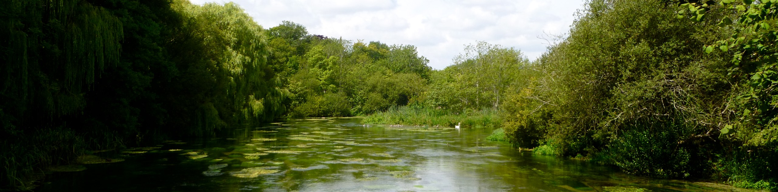
Beginning in the car park at the Pulborough Brooks RSPB Nature Reserve, look for the welcome sign for the Wilart Trail. You will see a footpath at a church, and this is the path you should follow and head left. You will come across the Wiggonholt Church, which is one to the public and is definitely worth a visit. After you finish exploring this area, continue past the church on your right, and you will come to a large wooden gate. Head through this gate, and you are now in the RSPB Nature Reserve. You will come across a crossing where you will head straight over the wooden gate and continue straight through the meadow.
Go right along the corner and you will see amazing views of the South Downs National Park on your left hand side. Continue right at a fingerpost and continue through a wooden swing gate, which leads to the next meadow. Continue along the path, and you will come to another wooden swing gate, where you will veer left. Another wooden swing gate will take you out into the wetlands, where you will have a view of Pulborough and the tower of St Mary’s Church upon the hilltop.
Continue straight and then turn left towards the church, where you will see a long bank which is a dyke of the River Arun. When you reach the bank, turn right, and you will go through a small wooden gate. After 600 meters, continue along a wooden bridge to a 3-way fingerpost. You will see two paths in front of you; take the right path. You will come across a row of weatherboard houses and a wooden bridge. Continue along the path, and you will arrive at a kissing gate. Navigate the gate and follow the path over another bridge that is near a residential road. Turn left and follow this road until you reach Pulborough’s main road. Walk through Pulborough and round a double bend. The road will straighten, and on your right, you will see a footpath for Brookgate Farm.
Follow this footpath and turn right, and you will take the narrow footpath that leads to the trees. Navigate a stile into a large pasture, and keep straight to reach another kissing gate, a bridge, and then additional kissing gate as you follow the path. You are now in Pulborough Brooks, take in the views where the bench is and then continue on the path along the edge of a water meadow and over a stile. You will find yourself among willows and a stream along your right-hand side. Continue, and you will reach a wooden gate and a bridge—navigate these, and you will see the Banks Cottage on your left. Follow the edge of the garden and head up a steep bank veering left at a fingerpost with a wooden swing gate. Follow this up to a T-junction, where you will turn right and pass a horse pasture on your left and go towards a metal gate, turning left through a kissing gate. Keep right in the meadow and follow the enclosure. Go through a small metal gate and a kissing gate. Continue to follow the path, and you will arrive back at the Wiggonholt Church and back to the car park where you began.
Insider Hints
Stop at the Wiggonholt Church which you can get to by bus or train as well as driving
Ensure you wear proper footwear as this is a floodplain
Visit the Stopham Vineyard and Winery in Pulborough
Explore the ancient ruins of the Bignor Roman Villa
Stay at the Crown Inn Cootham and extend your stay
Similar hikes to the Pulborough Brooks Loop Walk hike
Avington and Ovington Walk
Meander through lovely countryside fields and across bridges leading you over rivers carved into the stunning South Downs landscape on…
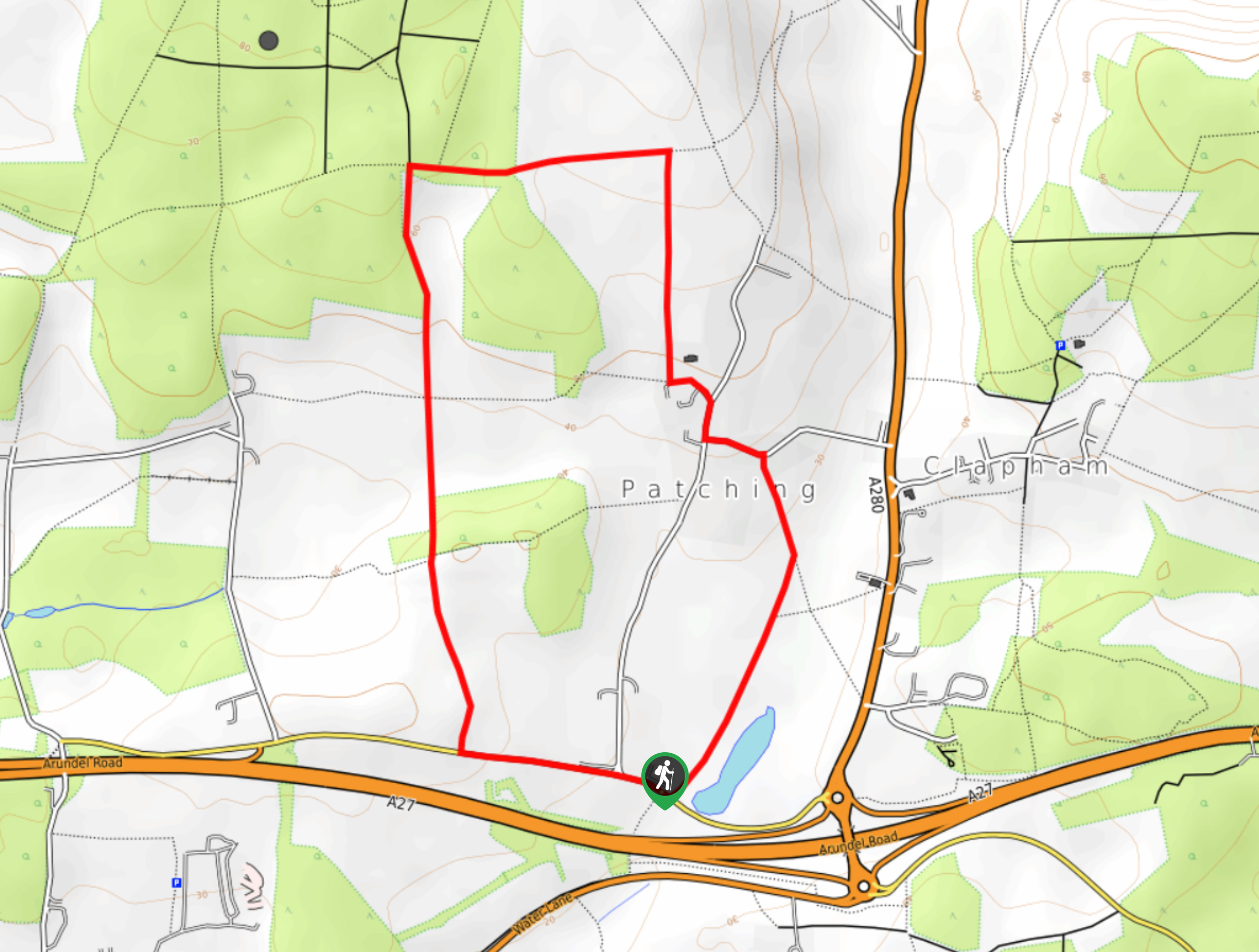
Worlds End and Patching Circular Walk
The Worlds End and Patching Circular Walk is a great path for the whole family, thanks to the gentle gradient…
Halnaker Circular Walk
The Halnaker Circular Walk is a beautiful stroll filled with open meadows, woodland and stunning scenery. There are stiles and…
Comments