Kingley Vale and the Devil Humps Walk
View Photos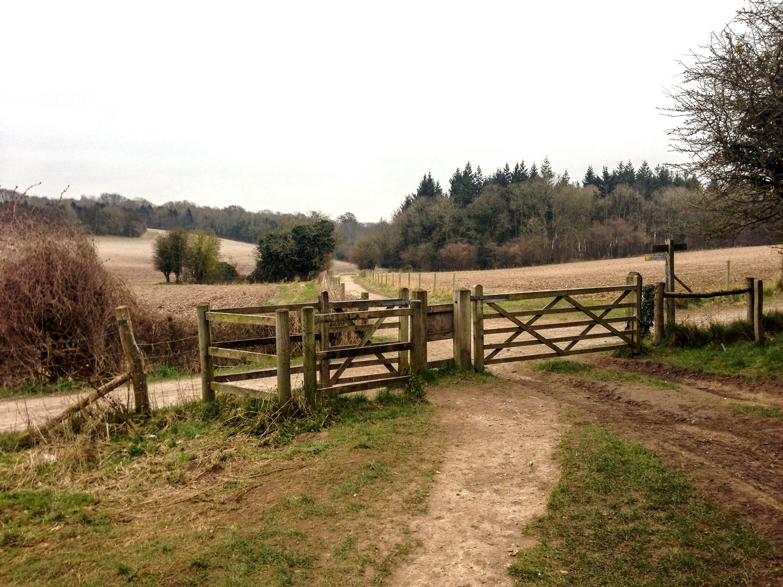
Kingley Vale and the Devil Humps Walk
Difficulty Rating:
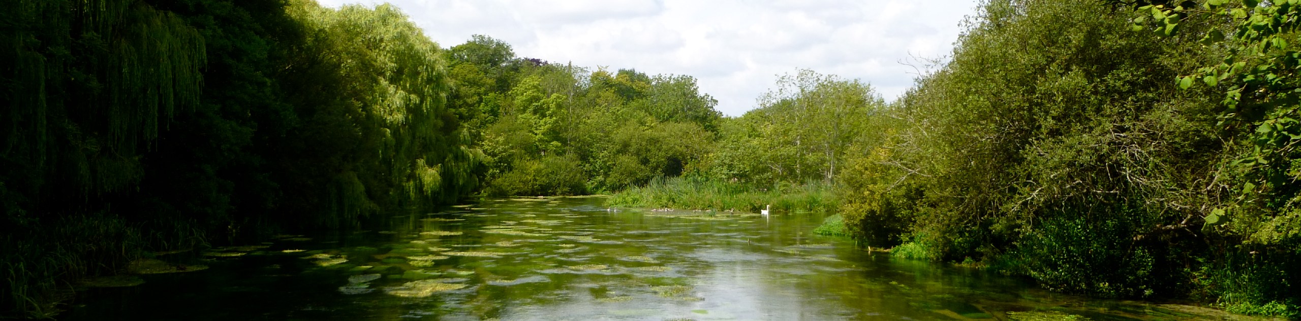
Discover the Kingley Vale and the Devil Humps walk and explore the viking burial grounds, known as the Devil Humps or King’s Graves that surround this area. You can also see Bow Hill here and Goosehill Camp. Also, the auxiliary units of World War II are nestled here which you can explore along your walk.
Getting there
To get to the Kingley Vale and the Devil Hump’s Walk from Stoughton, head northeast from the center of town for 0.2mi, and turn right on an unnamed road. In 0.8mi, turn left on another unnamed road, and you will arrive at your destination in 0.5mi.

About
| When to do | May - October |
| Backcountry Campsites | No |
| Pets allowed | Yes |
| Family friendly | No |
| Route Signage | Average |
| Crowd Levels | Moderate |
| Route Type | Lollipop |
Kingley Vale and the Devil Humps Walk
Elevation Graph
Weather
Kingley Vale and the Devil Hump’s Walk Description
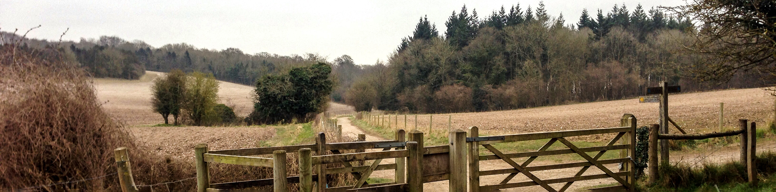
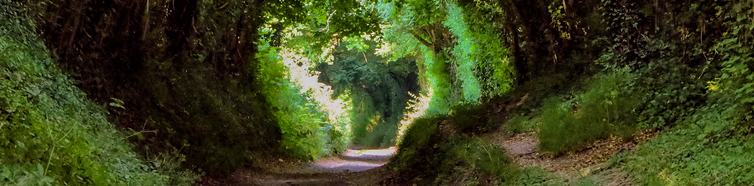
The Kingley Vale and the Devil Hump’s Walk takes you through the King’s Graves (Devil Humps) and has an incredible history, including the auxiliary units of World War II. Beginning at the West Stoke car park, follow the path through the woodland until you reach the King’s Graves. Take time to explore this area as some of the graves need a keen eye to see. The sheep that used to live in this area used to take care of the graves by grazing; however, since they have left, volunteers take turns cutting away the shrubs that now grow around them. Continue on the path and take in the beautiful views that surround you. You will then arrive back from where you came from as this is a circular path.
Similar hikes to the Kingley Vale and the Devil Humps Walk hike
Avington and Ovington Walk
Meander through lovely countryside fields and across bridges leading you over rivers carved into the stunning South Downs landscape on…
Worlds End and Patching Circular Walk
The Worlds End and Patching Circular Walk is a great path for the whole family, thanks to the gentle gradient…
Halnaker Circular Walk
The Halnaker Circular Walk is a beautiful stroll filled with open meadows, woodland and stunning scenery. There are stiles and…
Comments