Bignor Hill Walk
View PhotosBignor Hill Walk
Difficulty Rating:
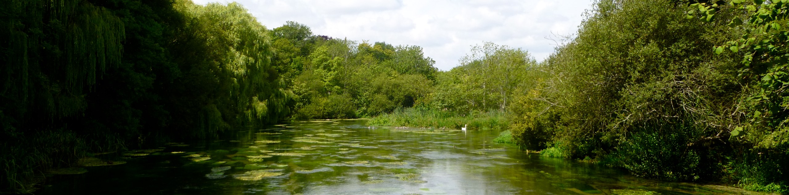
The Bignor Hill Walk is a popular stroll among families and boasts beautiful views. Spend an afternoon wandering through the wildflowers surrounded by rolling hills in the English countryside. This walk, although not rigorous, does have some uphill walking, so wear comfortable walking shoes.
Getting there
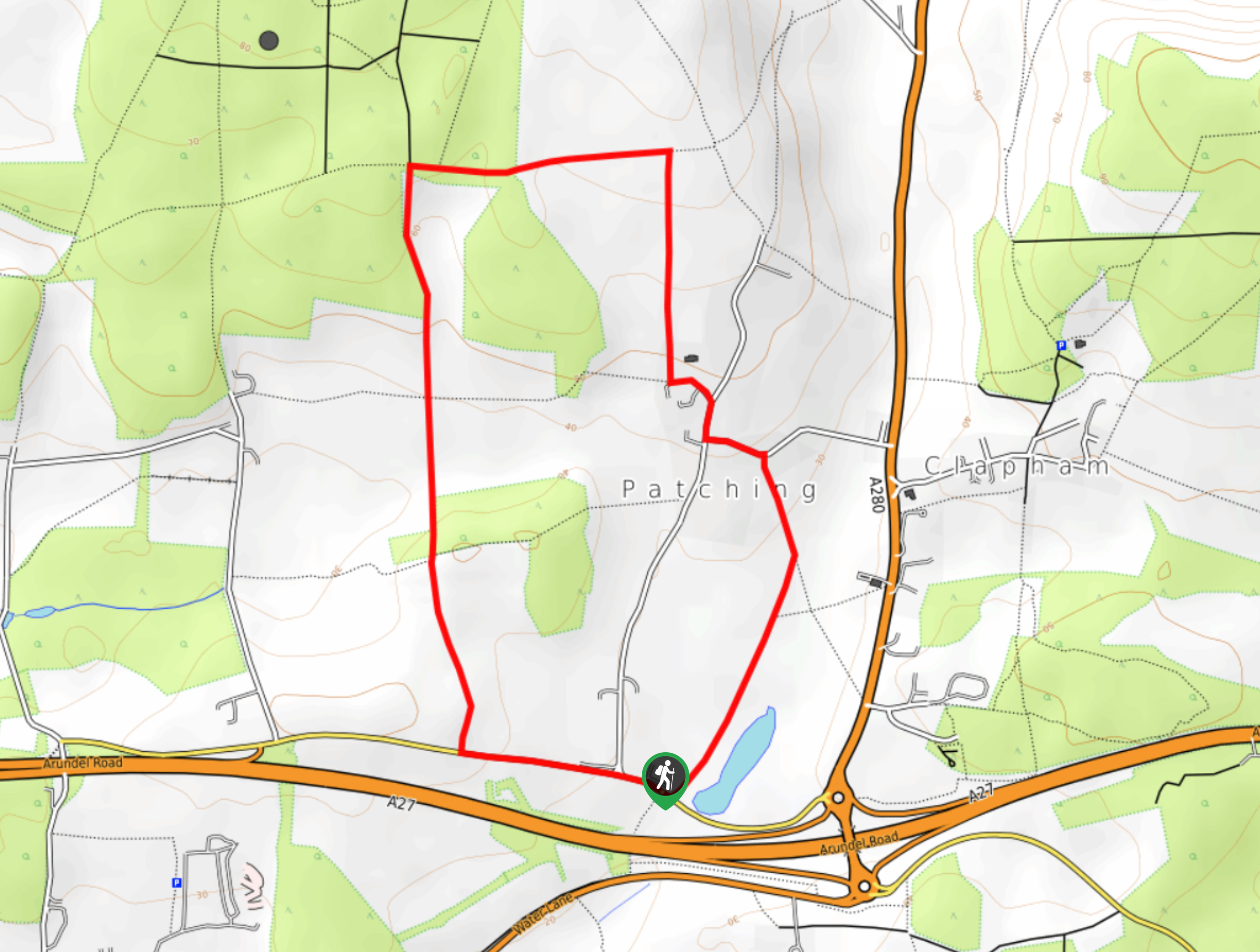
To get to the Bignor Hill Walk from Arundel, Start on London Road/A284 and continue for 0.2mi, and then continue on London Road/A284 to Bury. In 3.9mi, continue on West Burton Lane and drive to South Downs Way. The Bignor Hill car park will appear in 3.2mi.

About
| When to do | Year round access |
| Backcountry Campsites | No |
| Pets allowed | Yes |
| Family friendly | Yes |
| Route Signage | Average |
| Crowd Levels | Moderate |
| Route Type | Circuit |
Bignor Hill Walk
Elevation Graph
Weather
Bignor Hill Walk Description
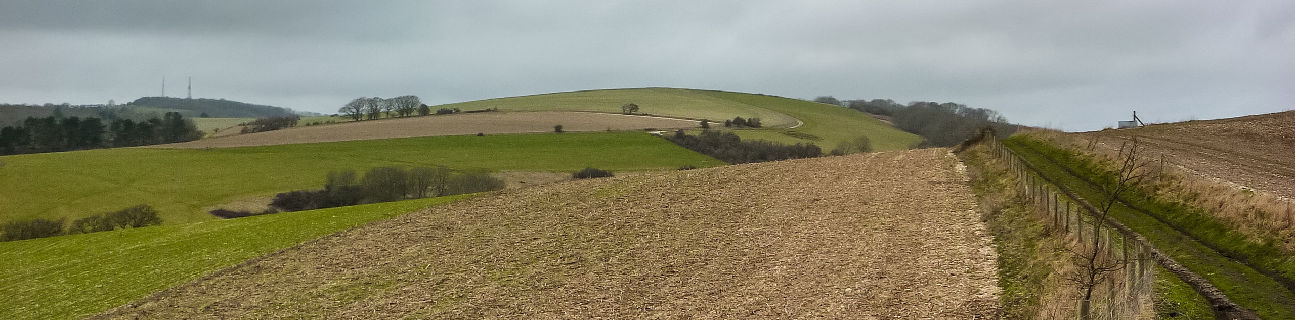
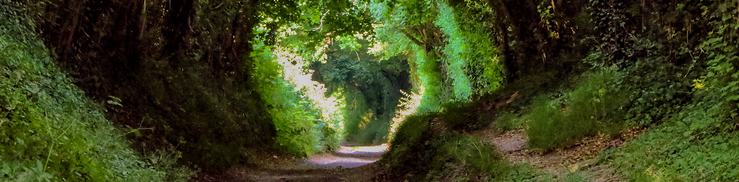
The Bignor Hill Walk is a wonderful stroll through the English countryside that boasts rolling hills in the distance and is surrounded by wildflowers in the summer months. Beginning from Bignor car park, follow the path that leads into the woods. Continue on this path for 2526ft until you reach a Y-junction, take the left fork and go straight across. The path you are on will begin to climb slightly, and you will follow this for 1.2mi. Another Y-junction will appear, and you will again take the right path.
You will come across a sign that says National Trust Bignor Hill; follow this arrow and continue right to panoramic views across the meadows. You will then find yourself at the South Downs Way, where you will take this path and take in the spectacular views for the next 0.9mi. You will come across a barn, where you will continue on the South Downs Way and you will follow this until you reach the car park.
Similar hikes to the Bignor Hill Walk hike
Avington and Ovington Walk
Meander through lovely countryside fields and across bridges leading you over rivers carved into the stunning South Downs landscape on…
Worlds End and Patching Circular Walk
The Worlds End and Patching Circular Walk is a great path for the whole family, thanks to the gentle gradient…
Halnaker Circular Walk
The Halnaker Circular Walk is a beautiful stroll filled with open meadows, woodland and stunning scenery. There are stiles and…
Comments