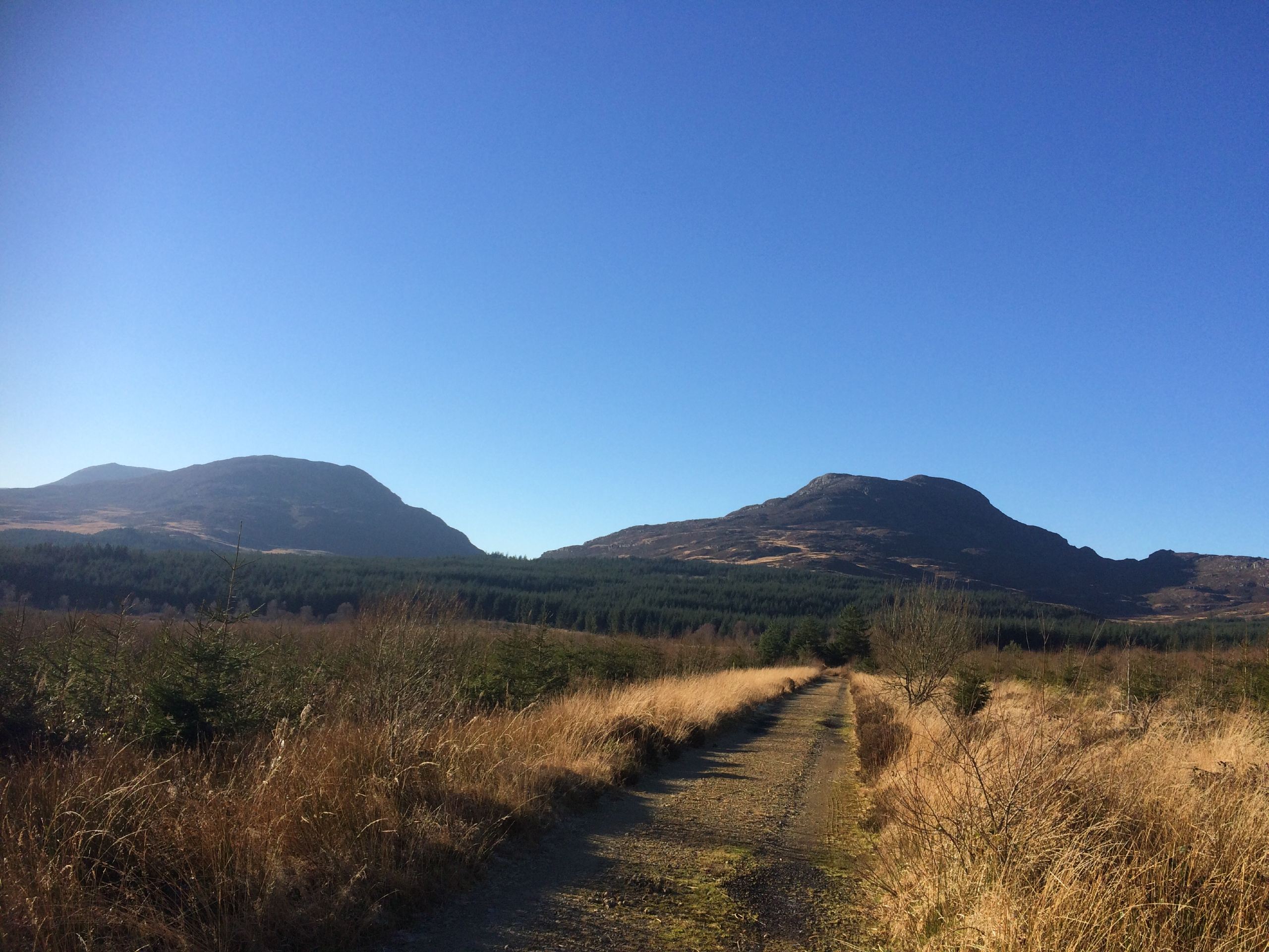


Rhinogydd Traverse
View PhotosRhinogydd Traverse
Difficulty Rating:
The Rhinogydd Traverse is a truly epic walk through Snowdonia National Park. It can be done in either direction, and requires an entire day at the very least to conquer. The rugged Rhinogydds offer some of the most spectacular scenery in Wales, but with this comes plenty of challenges. This is an adventure for experienced hill walkers only, who are comfortable with heights and plenty of route-finding. If you’re one of them, the rewards are plenty!
Getting there
The Rhinogydd Traverse starts from the village of Trawsfynydd. The road into the Rhinogydd starts just south of Llyn Trawsfynydd, on a westward bearing from the A470. If you’re in the center of the village, you can cross a footbridge that extends over the lake to reach the road. Turn right, and you’re on your way!
About
| When to do | April-October |
| Backcountry Campsites | No |
| Pets allowed | Yes - On Leash |
| Family friendly | No |
| Route Signage | None |
| Crowd Levels | Low |
| Route Type | One Way |
Rhinogydd Traverse
Elevation Graph
Weather
Rhinogydd Traverse Trail Description
This traverse along the Rhinogydds is a demanding outing for even the most seasoned adventurers. This is a walk that will take all day even in the best conditions. Steep drops, scrambles, route-finding – it’s all here! If you’re an experienced hill walker looking for a true Snowdonia challenge, this is the pick for you.
Set off along the narrow road just south of Llyn Transfwydd, bearing left at the fork to walk away from the lake. Follow the road through farmland and over the leat until it starts to curve to the right. Roughly 656ft past an Iron Age settlement, you’ll spot a track branching off to the left. Take this and walk east along the banks of the Afon Crawcwellt. The track becomes a footpath, which you should follow as it bends to the left, ascending as you approach the base of Craig Ddrwg. Stay right at the fork and continue on a southwest bearing.
As you pass Craig Ddrwg, the path descends as you approach Llyn Cwm Bychan. Meeting the road, turn left and walk past the car park, turning right through a gate to start a new track. The track leads south, with the well-known “Roman Steps” making up a part of it. Stay left at the fork – you’re now entering the Rhinog National Nature Reserve. At the next fork, turn right and start to work your way up Rhinog Fawr. Pass Llyn Du on your right, and follow the path as it bends to the right, then turn left for the final approach to the summit.
Descend on a faint eastward path that soon turns toward the south. Route-finding can be tricky here, and some down scrambling may be needed. Coming to Bwlch Drws Ardudwy, you should see Rhinog Fach directly ahead of you to the south. If not, you may need to turn left and walk a bit east until you find the path that approaches the mountain head-on. It’s not the easiest ascent, but you don’t have much in the way of alternatives!
Keep heading south as you descend, with Llyn Howell on your right and Llyn y Bi on your left. You won’t be descending for long, as the ridge soon begins to rise approaching the next peak, Y Llethr. It’s the tallest in the group, although its views aren’t as inspiring as the two which came before. There’s a wall you can follow much of the way to the top. From here, keep along the ridge on a southern bearing, passing Crib y Rhiw on your way to the summit of Diffwys. The path bends further to the west as you reach the appropriately named Diffwys West Top.
From here, it’s finally time to descend off the mountains. Continue along the ridge path for roughly 1312ft, then turn left and begin to make your way down. The path turns into an old coach road, easy to follow. Walk down the road as it curves left, then right over a stream, finally bringing you to the village of Bontddu along the southern coast. From here, buses back to your starting point are available.
Similar hikes to the Rhinogydd Traverse hike

Snowdon via Crib Goch and Miner’s Track
Of all the many routes up Snowdon, this approach via Crib Goch may be the most demanding! The walk starts…

Y Garn and the Glyderau
The Glyderau may be the most celebrated mountain range within Snowdonia National Park, and this full-day adventure visits the highlights!…

Bochlwyd Horseshoe
The Bochlwyd Horseshoe is a major adventure on the slopes - one of the best in all Snowdonia! It’s as…


Comments