Moelwyn Mawr Circular Walk
View Photos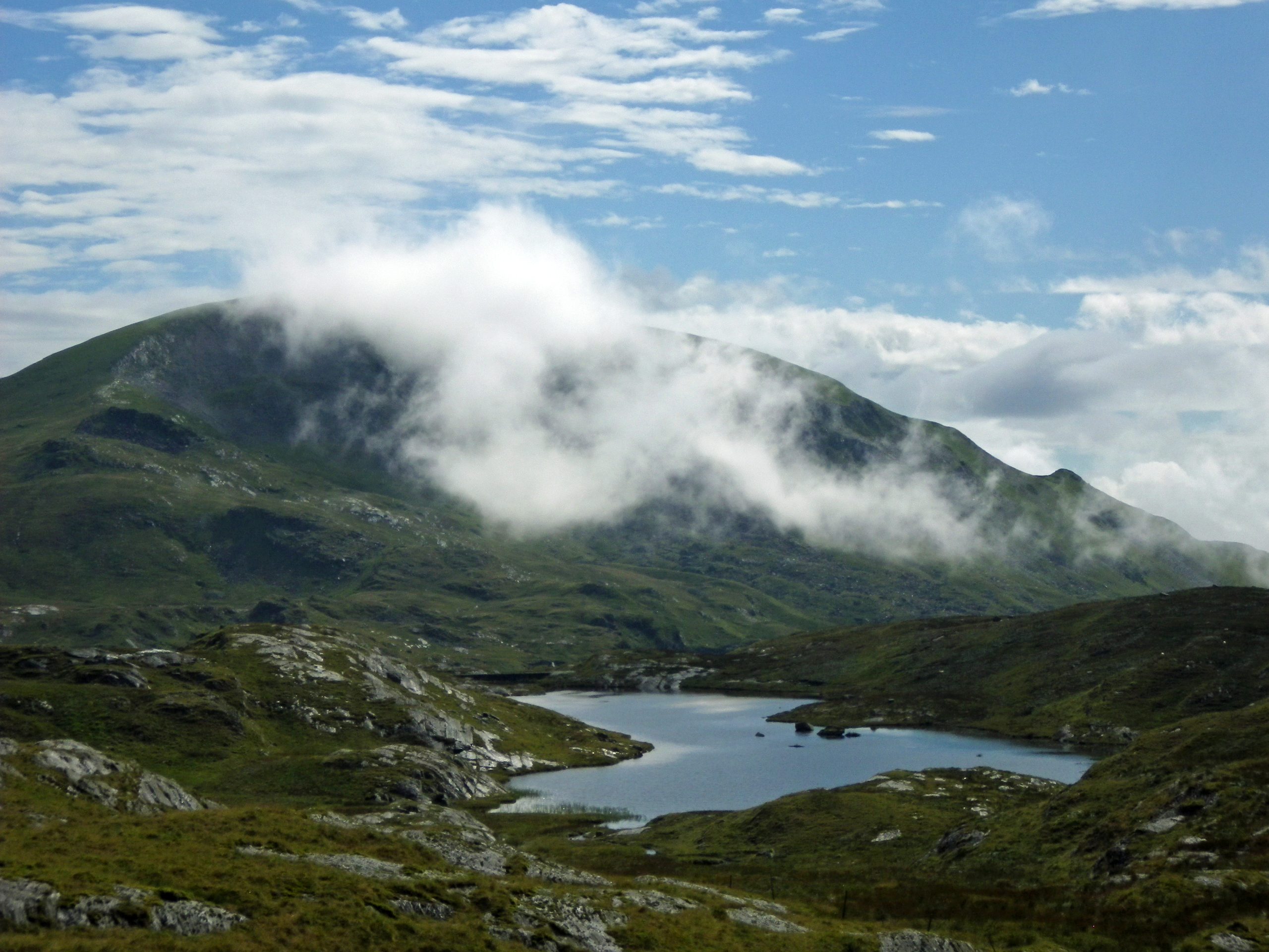
Moelwyn Mawr Circular Walk
Difficulty Rating:
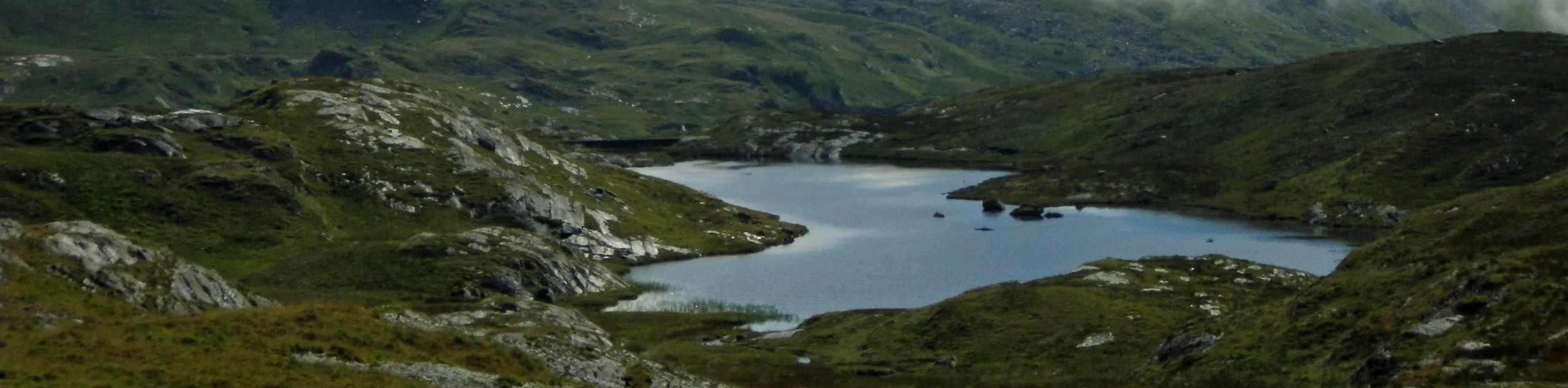
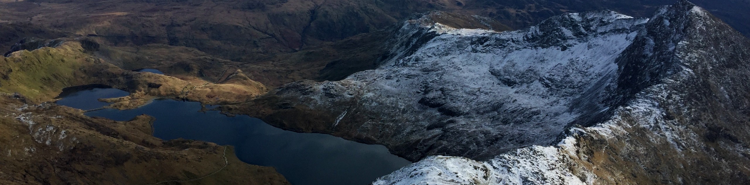
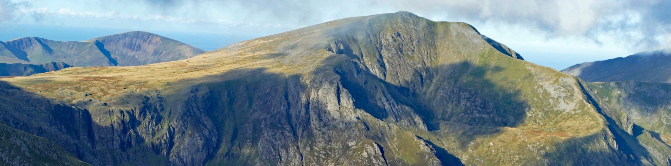
For a full-day adventure in Snowdonia, the Moelwyn Mawr circular walk is a fantastic choice. This route includes three summits that provide a hearty challenge and wonderful scenery, without some of the steeper or more technical portions that its neighbours present. Setting off from the village of Croesor, you’ll tackle the grassy slopes of Moelwyn Bach before crossing over to the rockier Moelwyn Mawr with views over Llyn Stwlan. Then it’s an exploration of the abandoned Rhosydd quarry before turning at the shores of Llyn yr Adar for your final ascent of Cnicht. A lovely stroll back through the forest concludes the circuit.
Getting there
To start the Moelwyn Mawr circular walk, head for the village of Croesor. The center of the village is marked by an X-shaped intersection on the map. On the northwest side of this intersection is a National Park car park.

About
| When to do | March–October |
| Backcountry Campsites | No |
| Pets allowed | Yes - On Leash |
| Family friendly | Older Children only |
| Route Signage | Poor |
| Crowd Levels | Moderate |
| Route Type | Circuit |
Moelwyn Mawr Circular Walk
Elevation Graph
Weather
Moelwyn Mawr Circular Walk Description
From the car park, walk southeast along the road for about a kilometre. Then it’s a left turn into the forest, with an easy-to-spot stile to mark your entrance. After the forest comes open moorland, which you cross while aiming for a ridgeline on the right. A narrow path along a ditch leads you to its base, where you can simply walk straight uphill to the first summit at Moelwyn Bach. You’ll see the peak of Moelwyn Mawr almost directly north, but don’t head straight for it—a massive crag makes this impossible. Instead, keep walking east where the descent meets up with a rocky scree path, and head left along this towards Moelwyn Mawr.
Reaching Bwlch Stwlan, you’ll find a faint path that you can follow to Craigysgafn. A touch of scrambling brings you through a rocky section and onto the final stretch up to the Moelwyn Mawr summit. Descend along the same stretch at first, then turn left down a grassy ridge and head for the Rhosydd Quarry. The correct path takes you through the disused buildings, stacks of slate around you. Once past the main quarry buildings, the path veers off to the left before turning back north and crosses some boggy terrain. Stay along the high ground as you make your way to the shores of Llyn yr Adar. Here, the path turns sharply southwest along the lake as you head towards Cnicht, the final summit of the day. It’s a straightforward ascent to the top—turn right along the summit ridge, and you’re there. The descent continues along the same direction, quickly becoming a lovely grassy path. A track turns left into the forest, and the car park emerges soon after.
Similar hikes to the Moelwyn Mawr Circular Walk hike

Foel Goch via Bwlch Tryfan Walk
A walk up Foel Goch via Bwlch Tryfan is an excellent way to take in the iconic beauty of Tryfan…
Snowdon via Crib Goch and Miner’s Track
Of all the many routes up Snowdon, this approach via Crib Goch may be the most demanding! The walk starts…
Y Garn and the Glyderau
The Glyderau may be the most celebrated mountain range within Snowdonia National Park, and this full-day adventure visits the highlights!…
Comments