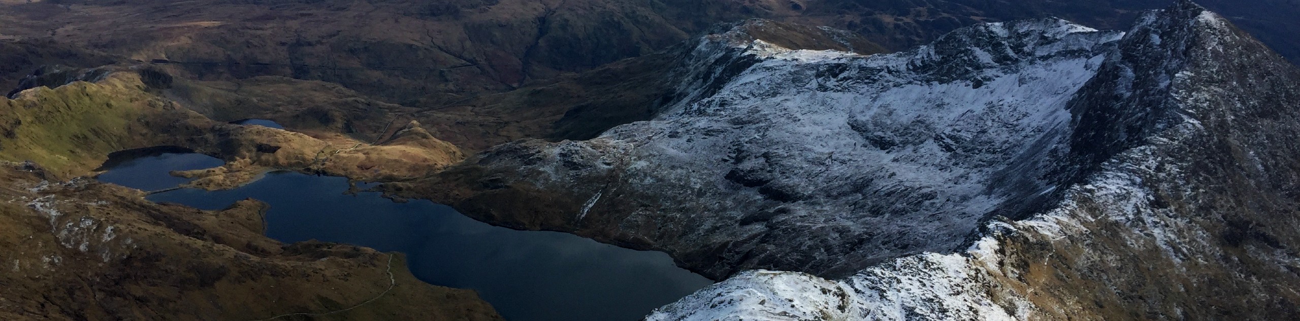
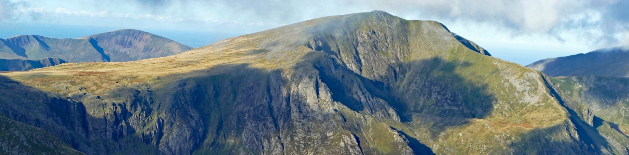
Creigiau Gleision and Llyn Cowlyd
View Photos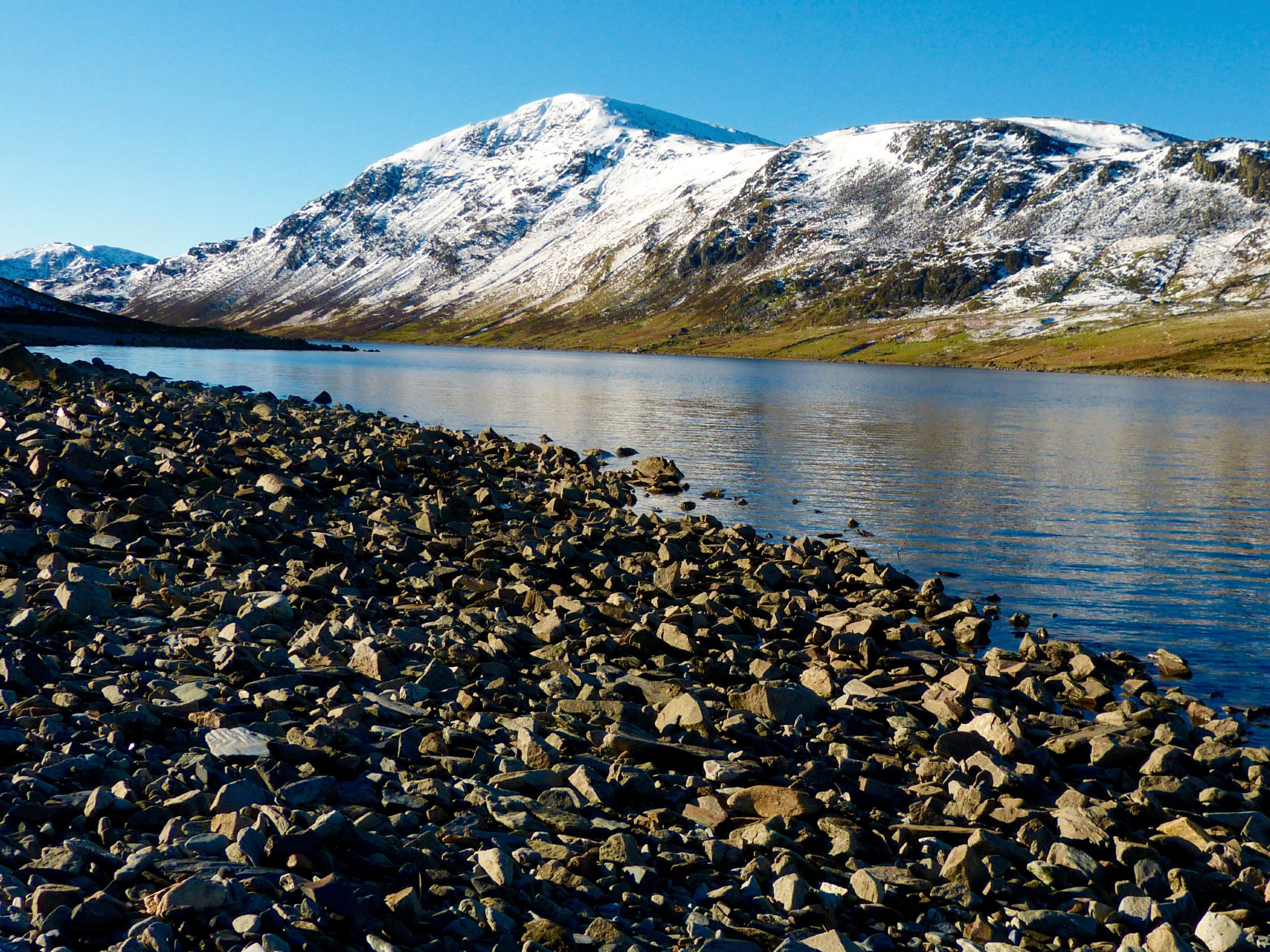
Creigiau Gleision and Llyn Cowlyd
Difficulty Rating:
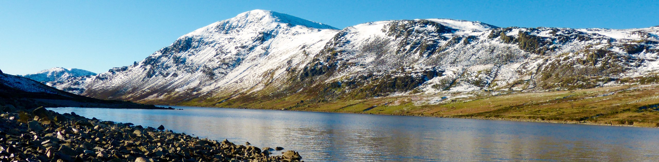
The walk up Creigiau Gleision and Llyn Cowlyd is less renowned than many of its Snowdonia counterparts, but don’t let that dissuade you - this is an adventure with plenty of punch. Capel Curig provides an easily accessible starting point, from which you ascend through woods and heather along several summits before conquering Creigiau Gleision. Descend to the shores of Llyn Cowlyd, a formidable reservoir with steep cliffs surrounding its banks. The stroll along the lake and the following grassy path back to town are a lovely reward for your efforts.
Getting there
This walk to Creigiau Gleision and Llyn Cowlyd starts from Capel Curig. Head for St Curig's Church (now a B&B), right about where the A5 meets the A4086. There is a public car park just north of the river, on your right-hand side (if driving north past the Joe Brown shop opposite the church/B&B).

About
| When to do | March-November |
| Backcountry Campsites | No |
| Pets allowed | Yes - On Leash |
| Family friendly | No |
| Route Signage | Poor |
| Crowd Levels | Low |
| Route Type | Circuit |
Creigiau Gleision and Llyn Cowlyd
Elevation Graph
Weather
Creigiau Gleision and Llyn Cowlyd Trail Description
From the church, head through a stile to the left. The path ascends through meadows and woods, connecting with a path from the Bryn Tyrch hotel. Follow the path across a footbridge and head immediately left after the bridge towards Cwm Geuallt. After roughly 1.2mi, you’ll come to a col above Llyn Crafnant. Aim left here to summit Crimpiau, the short but steep ascent bringing you incredible views of the Carneddau and Glyderau. From here, the path continues on a northwest bearing, quickly descending then climbing back up along Craig Wen. Your route zigzags a little to avoid the wettest patches of the hill, eventually leading you to the summit of Creigiau Gleision.
Your descent starts from the northeast end of the peak, bearing further east as you make your way down. The narrow path leads to a fence – follow this past the stile on your right (this is for a visit to Llyn Crafnant) and keep your eyes peeled for a faded path on your left. A fence junction means you’ve gone too far! This takes you down to the Llyn Cowlyd Dam, which you walk behind then turn left to stroll down the lakeshore. The pass at its southern end opens up onto a broad, easy path that you can follow all the way back to the A5. Turn left and follow the road back to Capel Curig.
Similar hikes to the Creigiau Gleision and Llyn Cowlyd hike

Foel Goch via Bwlch Tryfan Walk
A walk up Foel Goch via Bwlch Tryfan is an excellent way to take in the iconic beauty of Tryfan…
Snowdon via Crib Goch and Miner’s Track
Of all the many routes up Snowdon, this approach via Crib Goch may be the most demanding! The walk starts…
Y Garn and the Glyderau
The Glyderau may be the most celebrated mountain range within Snowdonia National Park, and this full-day adventure visits the highlights!…
Comments