
Silver Creek Trail
View Photos
Silver Creek Trail
Difficulty Rating:
Immerse yourself in a sea of golden aspens along the Silver Creek Trail. This stunning adventure travels through enchanting woodlands entwined with charming brooks. Get out into the wilderness and let the fresh mountain air fill your lungs as you trek this wonderful trail.
Getting there
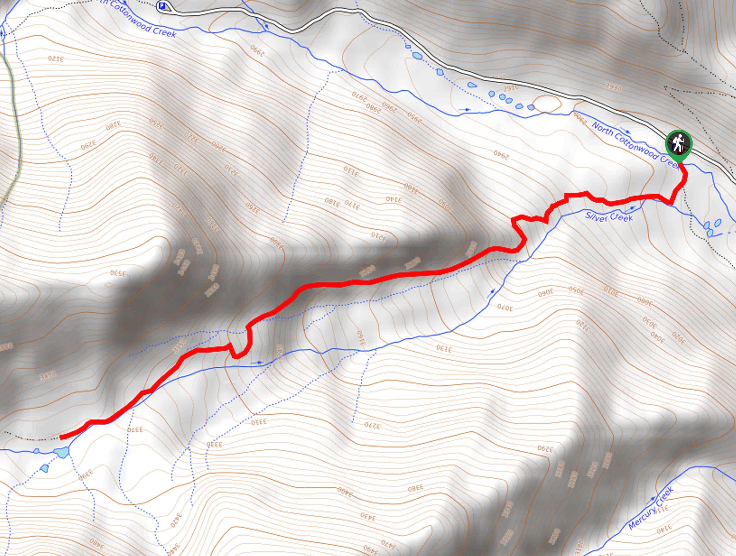
The Silver Creek Trail departs from the Silver Creek Trailhead off the North Cottonwood Road.

About
| Backcountry Campground | Dispersed Backcountry Camping |
| When to do | June-October |
| Pets allowed | No |
| Family friendly | Older Children only |
| Route Signage | Average |
| Crowd Levels | Low |
| Route Type | Out and back |
Silver Creek Trail
Elevation Graph
Weather
Silver Creek Trail Description
The Silver Creek Trail is a must-do the next time you find yourself near Buena Vista, CO. Exhibiting the diversity and beauty of the Sawatch Mountain Range wilderness, the trail will guide you through towering pine forests, vibrant aspen groves, and along exposed ridges that deliver expansive vistas of the mountainous landscape. If you are exploring this route in the winter months, we highly suggest microspikes or snowshoes to navigate the terrain more safely. Note: the road up to the trailhead is rough and rugged, so vehicles with 4-wheel drive and high ground clearance are advised.
Begin your journey along the Silver Creek Trail from the trailhead off North Cottonwood Road. From here, track the Colorado Trail Segment 13 southwest beneath the timberline. As you hike you will make your way along the banks of Silver Creek, a gurgling stream. Let the sounds of the running waters and the wind whistling through the trees lull you into a state of relaxation, as you pass through the golden sea of aspens. Eventually, the route will guide you along an exposed ridge that provides sweeping views of Mount Yale in the southwest.
Follow the path back beneath the timberline as you gradually climb up the terrain. You will soon meet the trail’s end when you confront a small creek just before entering the Collegiate Peaks Wilderness. Here, turnaround and retrace your footing along the track back to the trailhead
Similar hikes to the Silver Creek Trail hike
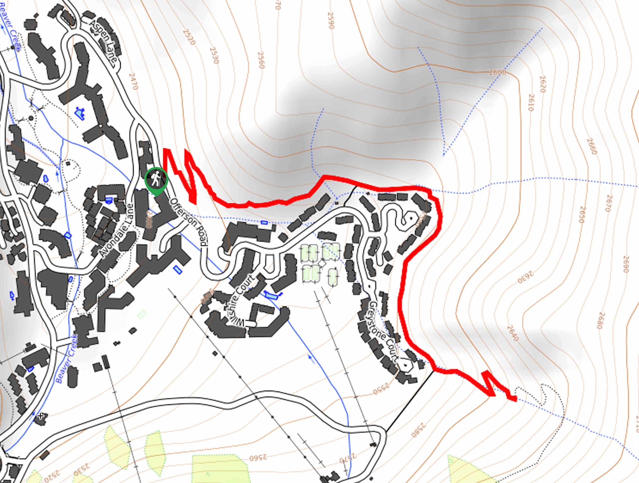
Village Creek Trail
Explore the Beaver Creek Ski Resort and revel in the vibrance of the encompassing woodlands as you venture the Village…
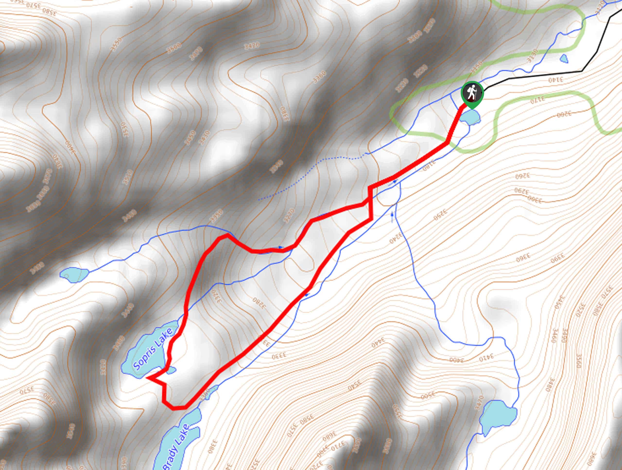
Sopris Lake via Brady Lake Trail
Immerse yourself in the jaw-dropping scenery that the Swatch Mountain Range has to offer, as you venture to Sopris Lake…
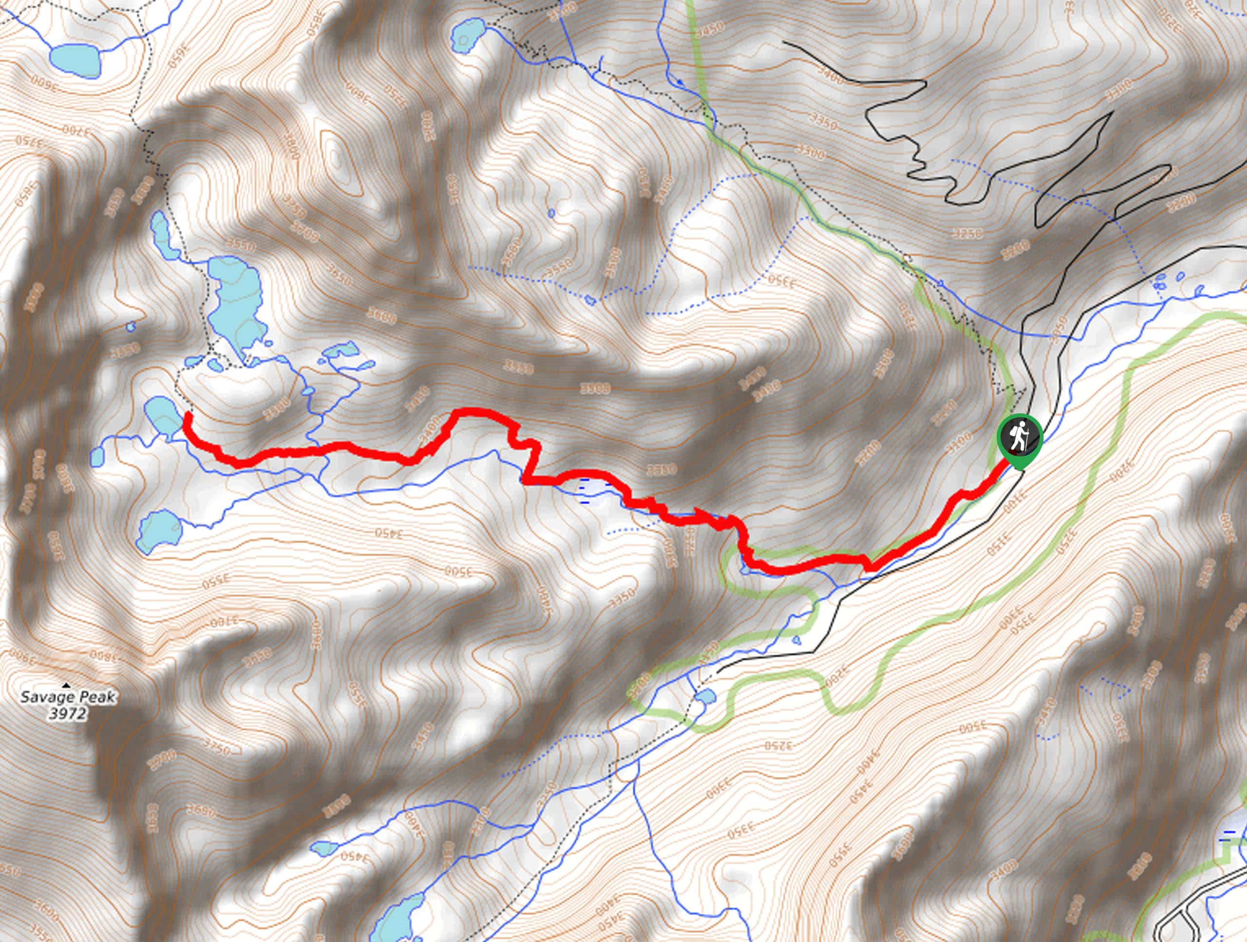
First Missouri Lake Trail
The First Missouri Lake Trail is a stunning day hike into Colorado’s high country. Explore the alpine terrain and revel…
Comments