
Lake Ann Trail
View Photos
Lake Ann Trail
Difficulty Rating:
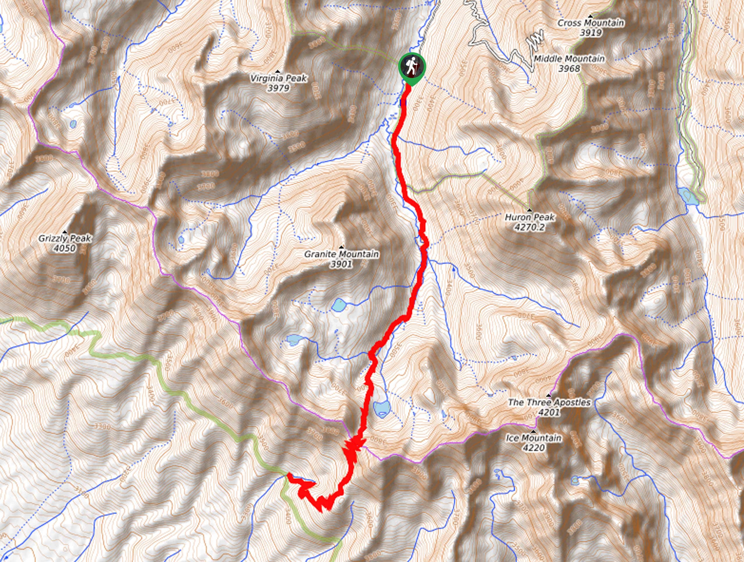
Hike up to the Continental Divide on the Lake Ann Trail. This stunning alpine adventure exhibits the diversity and grandeur of Colorado’s high country, as it guides explorers through dense woodlands up to an alpine lake and over a Continental Divide pass. Not for the faint of heart, this trek demands stamina.
Getting there
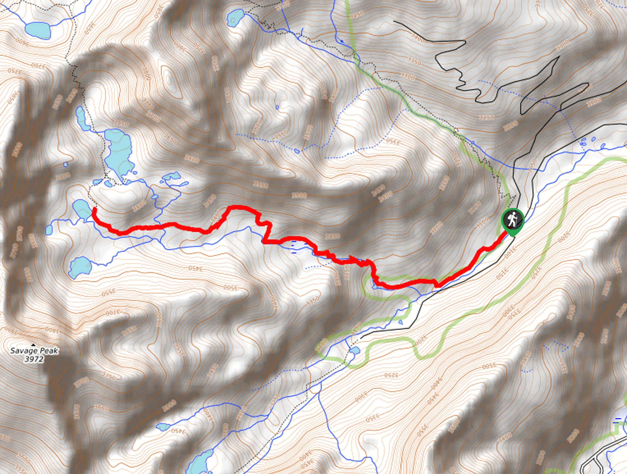
The Lake Ann Trail departs from the Clear Creek South Fork Trailhead off the Clear Creek Road.

About
| Backcountry Campground | Dispersed Backcountry Campsites |
| When to do | June-September |
| Pets allowed | Yes - On Leash |
| Family friendly | No |
| Route Signage | Average |
| Crowd Levels | Low |
| Route Type | Out and back |
Lake Ann Trail
Elevation Graph
Weather
Lake Ann Trail Description
Alpine lakes, Continental Divide passes, mountain views, and lush forestlands—what more could you ask for? The Lake Ann Trail is an amazing adventure in the Sawatch Mountain Range that delivers some of the best views in the state, in our opinion. Reserved for experienced hikers who don’t mind a long-haul trek, this adventure is an epic-day hike. Be sure to bring plenty of water or a filter and charge up your camera because the stunning scenery warrants plenty of photo-ops. Additionally, we suggest bringing along a pair of microspikes in the fall and winter months to safely navigate the snow-packed terrain.
When your hiking boots are all laced up and you are ready to go, begin your adventure from the Clear Creek South Fork Trailhead and track south along the Lake Ann Trail. This path will guide you through pine forests interspersed with vibrant aspens and meadowlands, as you walk along the gurgling waters of the creek. Eventually, you will encounter a junction and keep right to continue your climb towards the alpine lake. Now trekking through a mountain cirque, you will soon near the shoreline of the shimmering Lake Ann. Revel in the blue-hued waters and the looming snow-capped peaks that surround you.
If you still have some gas left in the tank, continue along the path up to Lake Ann Pass, which exposes some epic mountain panoramas. To get back to the trailhead, simply retrace your footing along the route.
Similar hikes to the Lake Ann Trail hike
Mount of the Holy Cross Loop Trail
Hike up to one of the most famous Colorado 14ers along the Mount of the Holy Cross Loop Trail. This…
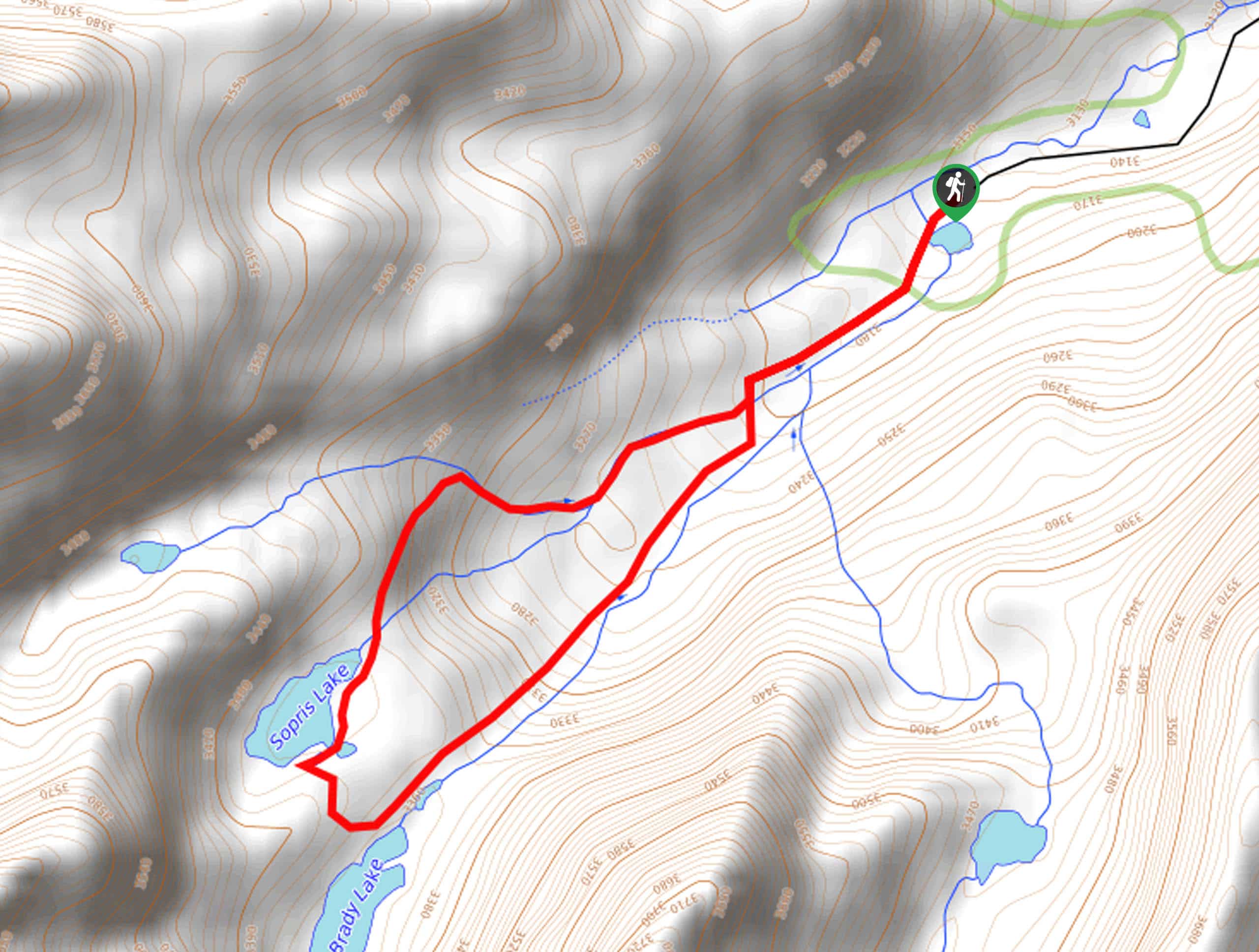
Sopris Lake via Brady Lake Trail
Immerse yourself in the jaw-dropping scenery that the Swatch Mountain Range has to offer, as you venture to Sopris Lake…
First Missouri Lake Trail
The First Missouri Lake Trail is a stunning day hike into Colorado’s high country. Explore the alpine terrain and revel…
Comments