La Plata Peak North Trail
View Photos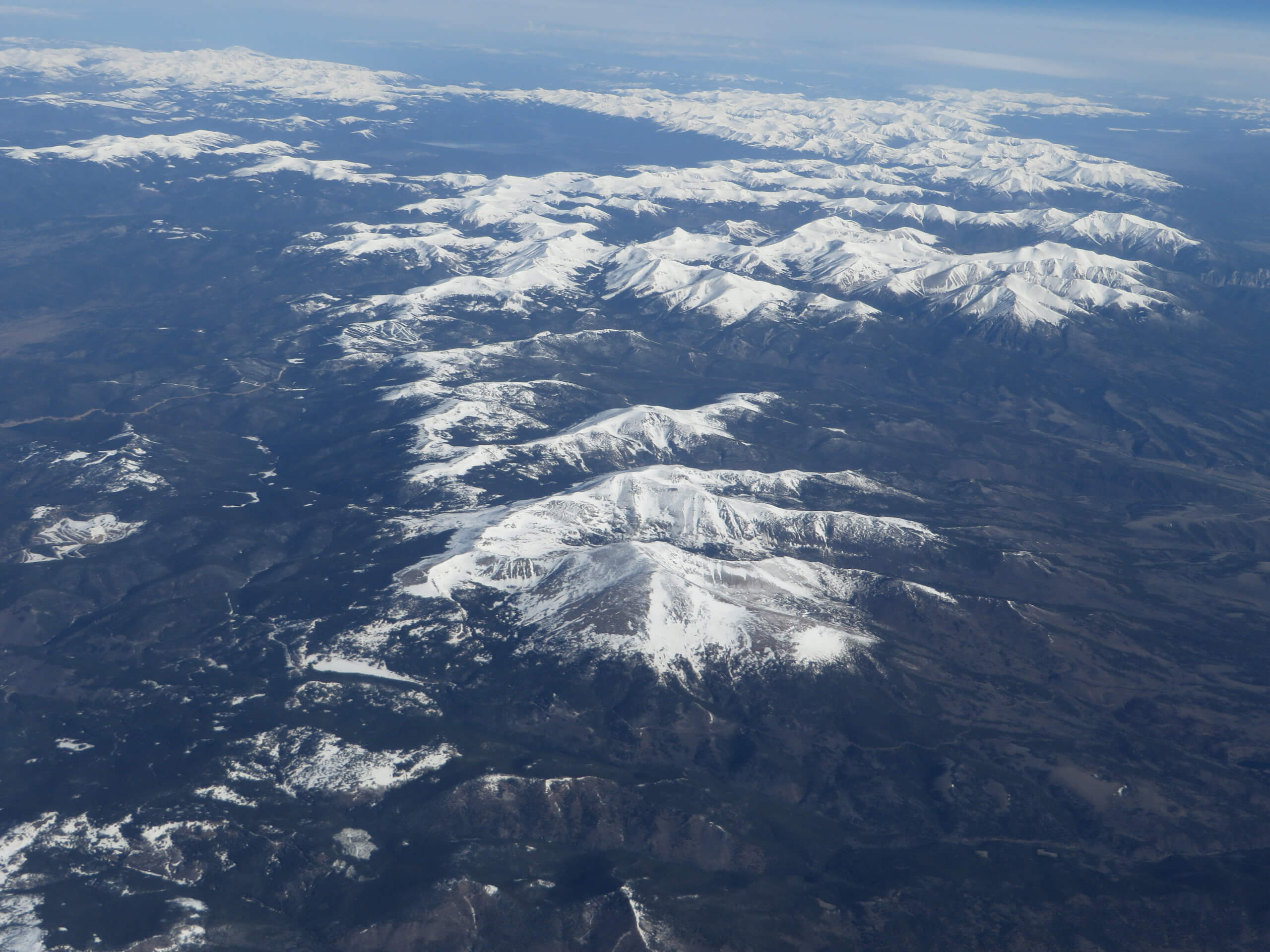
La Plata Peak North Trail
Difficulty Rating:
Is climbing a Colorado 14er on the top of your adventure bucket list too? If so, the La Plata North Trail is the perfect summit hike that possesses the ideal ratio between strenuity and scenery. Immerse yourself in the high country as you ascend Colorado’s 5th highest peak and let the impeccable vistas of the surrounding mountainous landscape motivate you.
Getting there
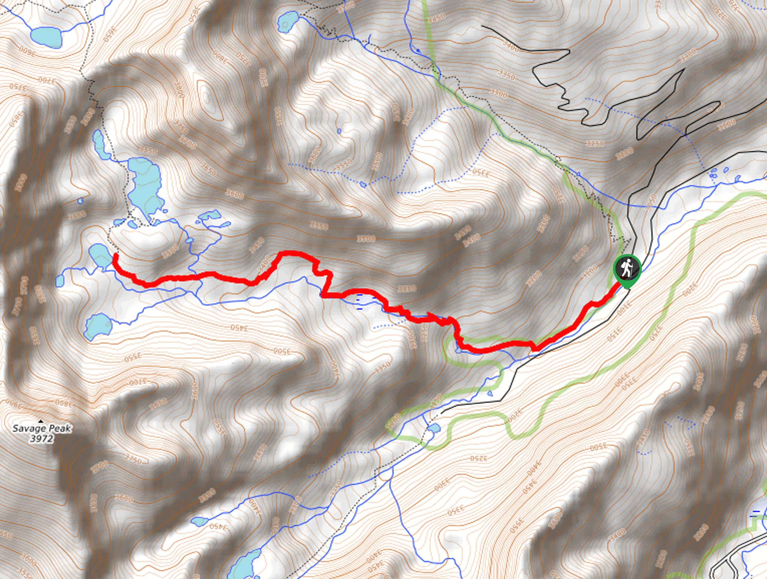
La Plata Peak North Trail departs from the La Plata Peak Trailhead off State Highway 82.

About
| Backcountry Campground | Dispersed backcountry camping |
| When to do | June-September |
| Pets allowed | Yes - On Leash |
| Family friendly | No |
| Route Signage | Average |
| Crowd Levels | High |
| Route Type | Out and back |
La Plata Peak North Trail
Elevation Graph
Weather
La Plata Peak North Trail Description
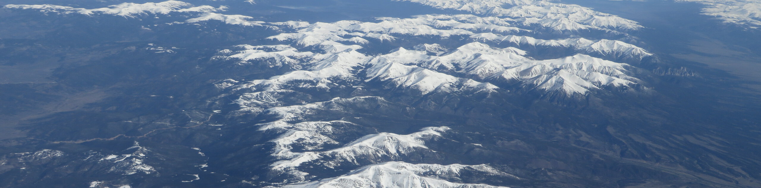
Summiting a Colorado 14er is no easy feat, but the La Plata Peak is considered one of the easier and more accessible summit adventures of the group. Reconnect with nature and challenge your endurance as you climb over 0ft to the snow-capped summit. Reserved for intrepid explorers and experienced hikers, this trek requires some conditioning and preparation. Pack plenty of water (more than you anticipate needing… trust us) and make sure you are acclimated to the area’s elevation prior to your ascent. Additionally, we discourage you from hiking this trail in the winter months as it is prone to avalanches. Be sure to head out before dawn to summit before noon, mitigating the chances of getting caught in a storm, and wear layers as insurance against extreme conditions at the exposed peak. Note that State Highway 82 is subject to seasonal closure in the winter months.
Who are we to shy away from a challenge? An exciting ascent such as the La Plata Peak North Trail is a difficult, but extremely rewarding climb that provokes a sense of personal achievement when you arrive at the summit. Let the panoramic views of the encompassing snow-capped craggy peaks motivate you and distract you from your tired feet as you trek. With stimulating sights and diverse topographies, this incredible adventure exhibits the beauty of the Colorado wilderness. If you are planning to hike this route, be sure to charge your camera because the stunning scenery warrants endless photo opportunities. As you can tell we really enjoy this hike, and if you try it out for yourself, you will understand why.
Embark on your adventure along the La Plata North Trail from the trailhead off State Highway 82. From here, track south along the 82C trail, crossing a small footbridge over North Fork Lake Creek to an intersection. At this point, hikers will want to keep left onto the La Plata Peak Northwest Ridge Trail. Follow this path southeast over another small bridge, crossing the South Fork Lake Creek before dipping below the shade of towering pines. At the next junction, keep right to cross over yet another snowmelt stream. Now hiking south, the La Plata Peak Northwest Ridge Trail will guide hikers up a set of stone stairs and along the gurgling waters of the alpine stream through La Plata Gulch.
Follow the forested route and it will eventually divert away from the stream, leading adventurers up a set of switchbacks. As you carefully navigate the winding trail, you will graduate the timberline which exposes stunning views of the encompassing snow-capped peaks. Now hiking through the alpine tundra be sure to keep an eye on the skies and notice if there are any marmots or pikas accompanying you along your trek. As you near the peak, there will be several more sets of seemingly never-ending switchbacks. The further you climb the increasingly steep and technical the terrain will become. Mind your footing as you venture along the rocky ridge and take your time as you scramble up the rocky scree to the peak.
From the summit of La Plata Peak, conquerors will be rewarded with 360-degree panoramic vistas of the neighboring Collegiate Peaks and the impressive snow-dusted Sawatch Range peaks. Enjoy distant views of the Twin Lakes in the northeast, Mount Harvard in the southeast, and Colorado’s highest summit—Mount Elbert, in the north. Revel in the expansive vistas of the mountainous landscape as you relax and rehydrate at the summit. When you are ready to return, simply retrace your footing along the path all the way back to the trailhead, marking the end of your summit adventure.
Trail Highlights
La Plata Peak
La Plata Peak is a famous fourteener (14er) and is ranked the 5th highest peak in Colorado. Standing at an elevation of 15525ft in the Sawatch Mountain Range, La Plata Peak is a popular mountaineering ascent that presents epic vistas of the neighboring Colorado 14ers. Located in the Collegiate Peaks Wilderness of San Isabel National Forest, the mountain was first climbed in 1873 by the Hayden Survey team. La Plata Peak, meaning silver in Spanish, was so named as a nod to the many silver deposits in the area.
Frequently Asked Questions
How long is the La Plata Peak North Trail?
La Plata Peak North Trail is a 9.6mi hike.
How tall is La Plata Peak?
La Plata Peak summits at an elevation of 14344ft.
What class is La Plata Peak?
La Plata Peak requires a Class 2 scramble.
Insider Hints
Avoid this trail after snowfall as it is prone to avalanches
State Highway 82 is subject to seasonal closure in the winter months
Wear crampons in the fall to navigate the likely snow-cloaked terrain
Head down to the Twin Lakes after your hike and have a picnic on the shoreline
Pack plenty of water, this trek is sure to exhaust you
Similar hikes to the La Plata Peak North Trail hike
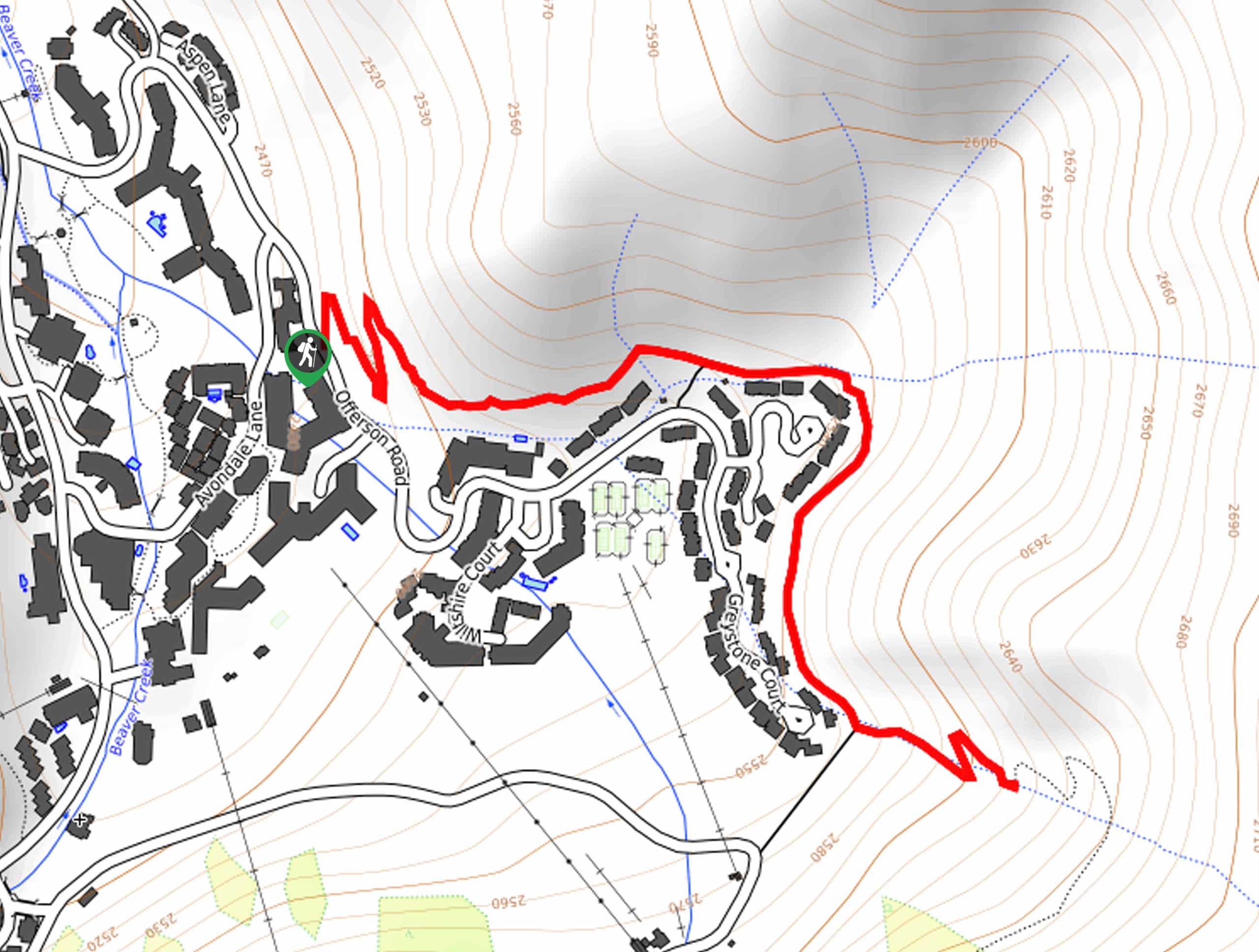
Village Creek Trail
Explore the Beaver Creek Ski Resort and revel in the vibrance of the encompassing woodlands as you venture the Village…
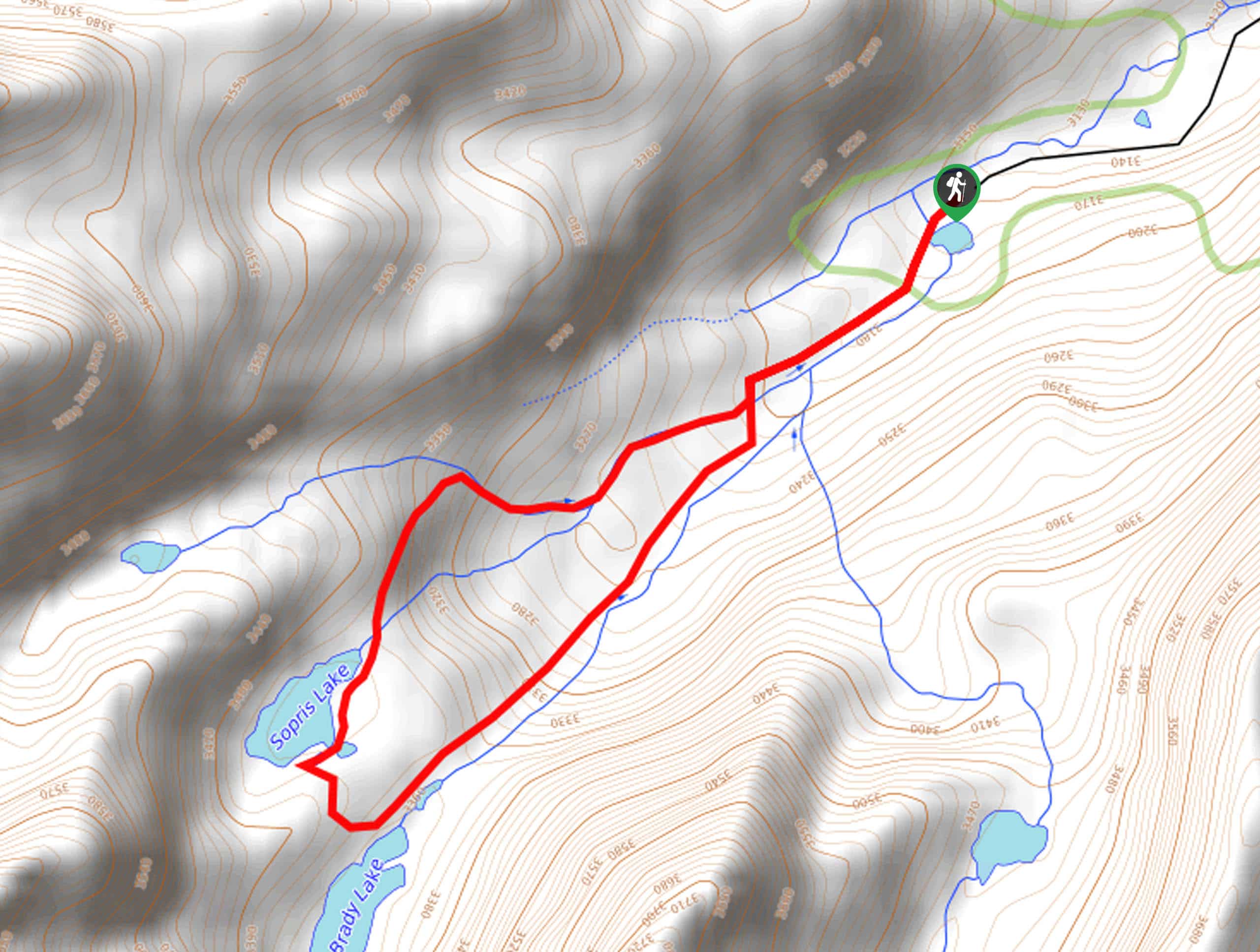
Sopris Lake via Brady Lake Trail
Immerse yourself in the jaw-dropping scenery that the Swatch Mountain Range has to offer, as you venture to Sopris Lake…
First Missouri Lake Trail
The First Missouri Lake Trail is a stunning day hike into Colorado’s high country. Explore the alpine terrain and revel…
Comments