
Henry Lake via South Lottis Trail
View Photos
Henry Lake via South Lottis Trail
Difficulty Rating:
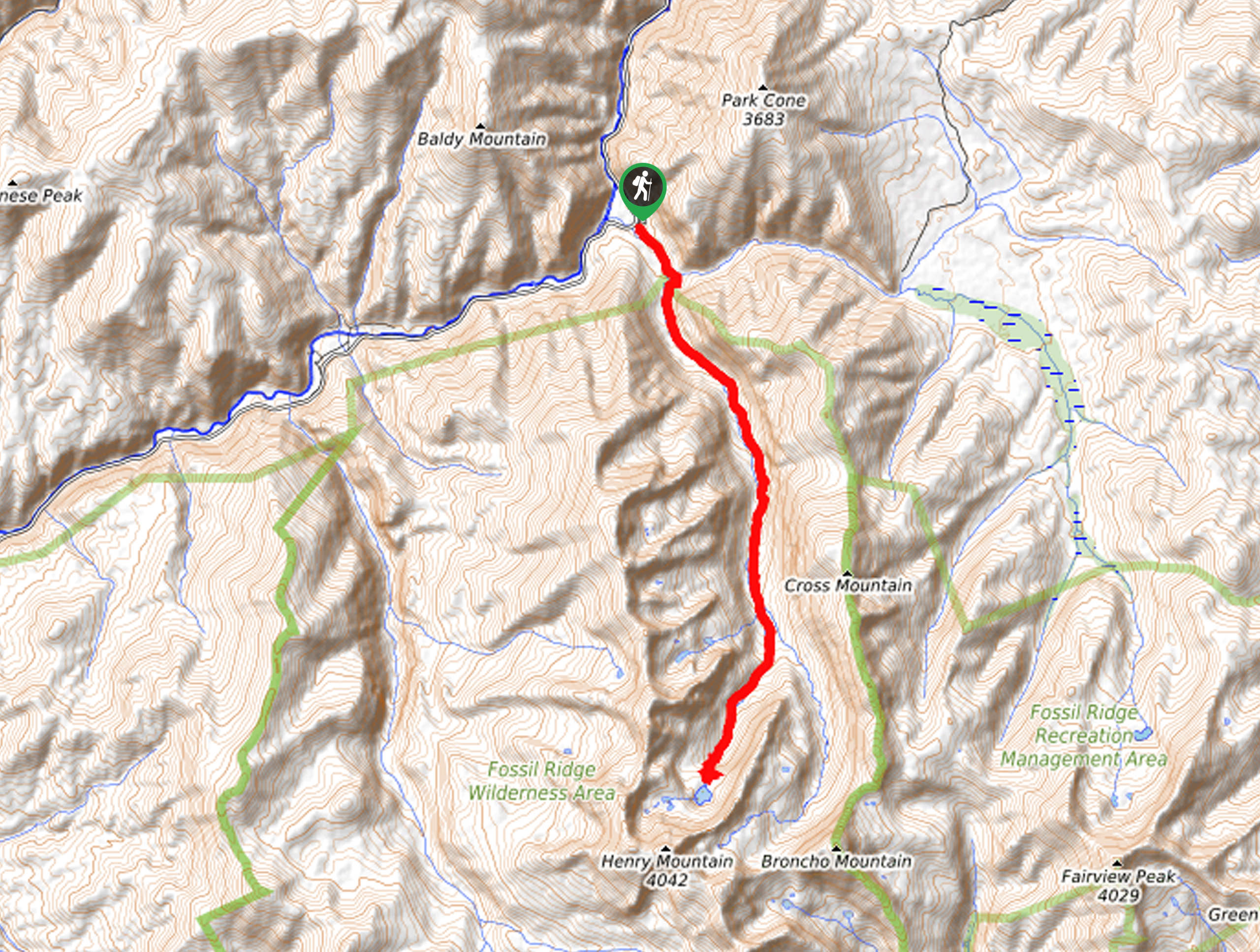
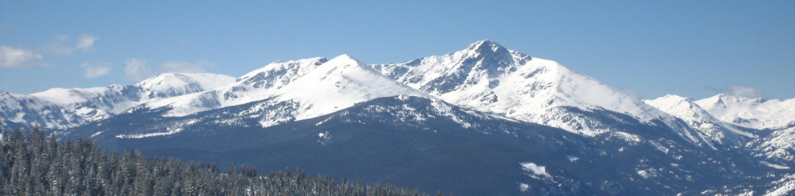
The Henry Lake via South Lottis Trail is a charming adventure through lush forest lands and along the gurgling creek up to the alpine lake. Lengthy and secluded, this trek is a great option for those seeking to escape the hustle and bustle of the 14er summit hikes in range to enjoy a relaxing nature walk.
Getting there
The Henry Lake via South Lottis Trail departs from the Lottis Creek Campground.

About
| Backcountry Campground | Dispersed Backcountry Camping |
| When to do | June-September |
| Pets allowed | No |
| Family friendly | No |
| Route Signage | Average |
| Crowd Levels | Low |
| Route Type | Out and back |
Henry Lake via South Lottis Trail
Elevation Graph
Weather
Henry Lake via South Lottis Trail Description
Featuring an ambient stream, diverse terrains, mountain views, and a crystalline alpine lake, the Henry Lake via South Lottis Trail packs a punch. This scenic adventure is the best way to explore and appreciate all the best characteristics that Colorado’s high country has to offer. Travel through lush pine forests, past impressive granite outcroppings, along the charming stream, and climb up to the basin, where the shimmering Henry Lake sits.
Embark on your adventure along the Henry Lake via South Lottis Trail from the Lottis Creek Campground. From here, head southeast along the South Lottis Road. Soon after your departure from the trailhead, you will encounter an intersection. Here, stay right and you will be diverted onto the South Lottis Trail. Hike this path southeast through the lush woodlands as you enjoy the meditative sounds of the gurgling creek. Eventually, you will confront another junction, keep right here, now trekking along the Henry Lake Trail.
The terrain will become increasingly rocky and exposed as you make your way up to the alpine lake. Once you reach the mountain cirque you will be granted postcard-worthy panoramas of the blue-hued waters of Henry Lake bounded by impressive peaks, including Henry Mountain. Revel in the scenery, and to get back to the trailhead all you must do is backtrack along the route.
Similar hikes to the Henry Lake via South Lottis Trail hike
Mount of the Holy Cross Loop Trail
Hike up to one of the most famous Colorado 14ers along the Mount of the Holy Cross Loop Trail. This…
Sopris Lake via Brady Lake Trail
Immerse yourself in the jaw-dropping scenery that the Swatch Mountain Range has to offer, as you venture to Sopris Lake…
First Missouri Lake Trail
The First Missouri Lake Trail is a stunning day hike into Colorado’s high country. Explore the alpine terrain and revel…
Comments