
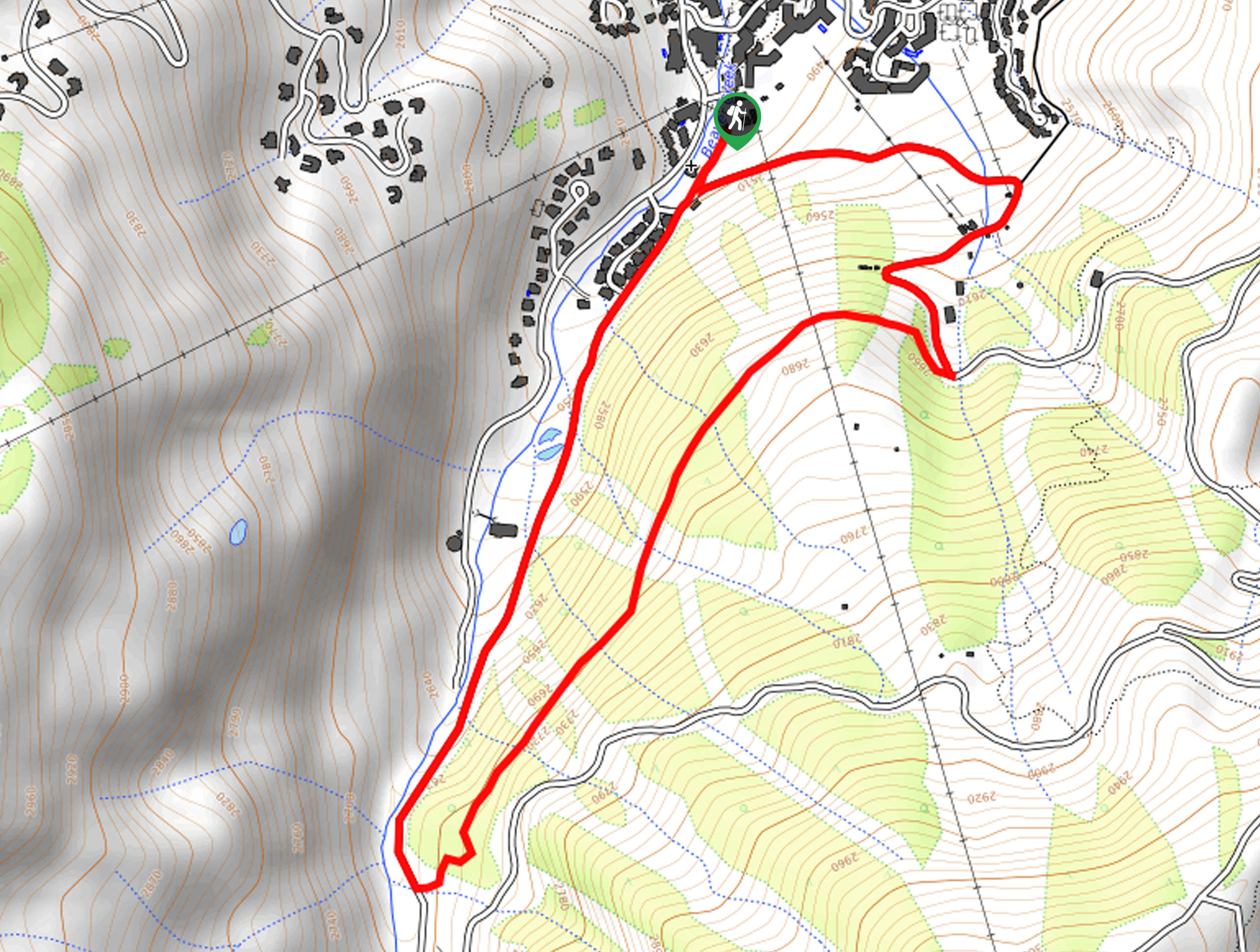
Allie’s Way Trail
View Photos
Allie’s Way Trail
Difficulty Rating:
Immerse yourself in nature, escaping the hustle and bustle of the real world on the Allie’s Way Trail. This scenic circuit hike guides adventurers through aspen groves, towering evergreens, and luxuriant meadows that reveal awe-inspiring vistas of the dramatic line of vaulted peaks.
Getting there
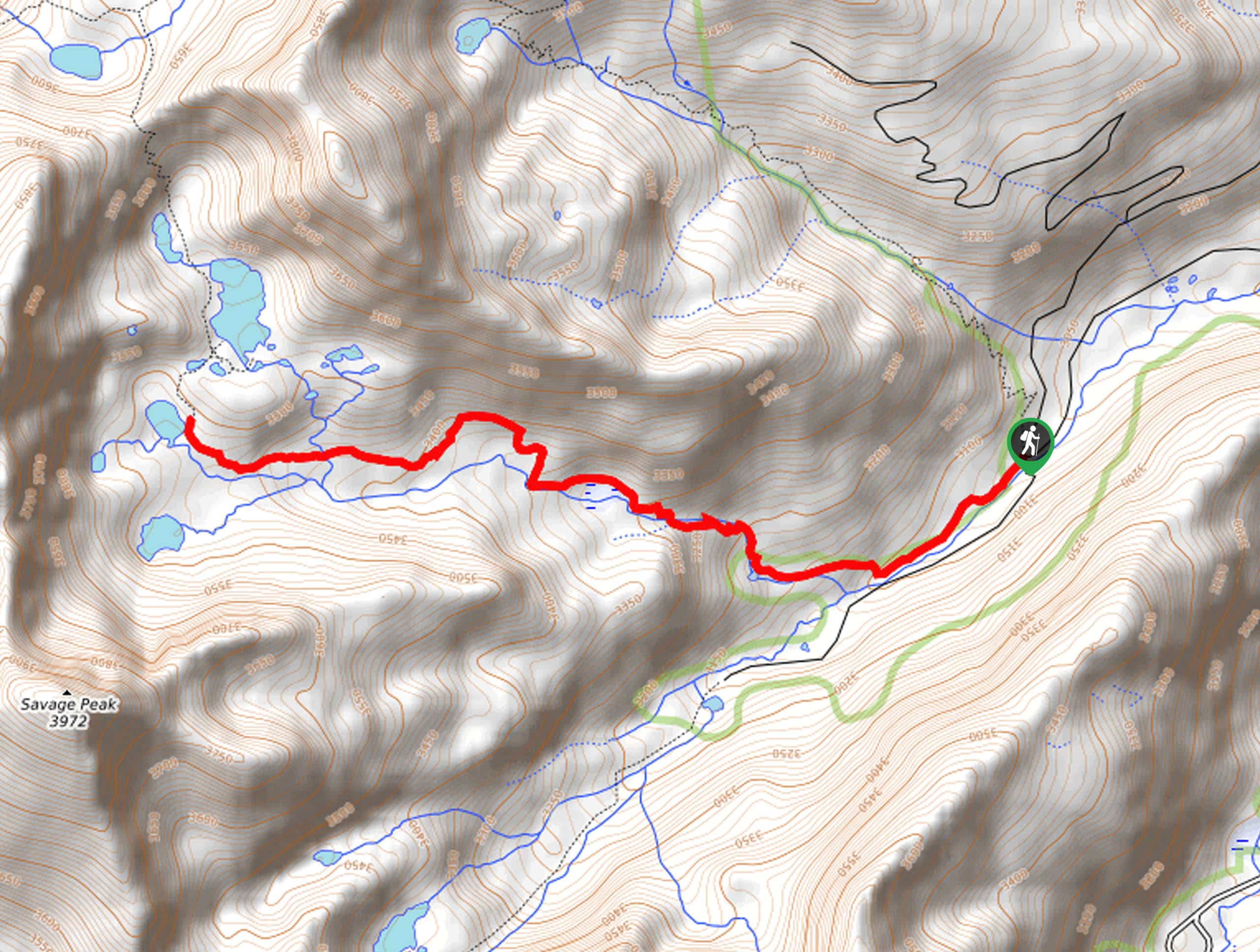
The Allie’s Way Trail departs from the trailhead off Elk Track Road in the Beaver Creek Ski Resort.

About
| Backcountry Campground | No |
| When to do | Year-round |
| Pets allowed | Yes - On Leash |
| Family friendly | Yes |
| Route Signage | Poor |
| Crowd Levels | Moderate |
| Route Type | Circuit |
Allie’s Way Trail
Elevation Graph
Weather
Allie’s Way Trail Description
The Allie’s Way Trail is a scenic adventure conveniently located within the Beaver Creek Ski Resort. Take a break from the bunny hill or head out in the warmer months to enjoy this lovely nature walk. The enchanting woodlands will encompass you and the meadows will reward you with epic mountain views, what could be better? The isolated nature of this trail is perfect for those seeking a relaxing escape, but make sure you have your trail GPS as this route can be tricky to navigate.
Embark on your adventure along the Allie’s Way Trail from the trailhead off the Elk Track Road. From here, head south hiking along the Bottom Lift 10 route. Hike this shared trail past the ski slopes, and you will eventually confront a turn-off to Allie’s Way. Turn left onto the Allie’s Way Trail, which will guide you beneath the timberline, heading northeast.
Enjoy the tree shade of the vibrant aspens and towering pines. You will pass under the Centennial Chairlift before reaching the Cinch-Lower Trail. Here, keep left and hike along this path all the way back to the trailhead, marking the end of your adventure.
Similar hikes to the Allie’s Way Trail hike
Village Creek Trail
Explore the Beaver Creek Ski Resort and revel in the vibrance of the encompassing woodlands as you venture the Village…
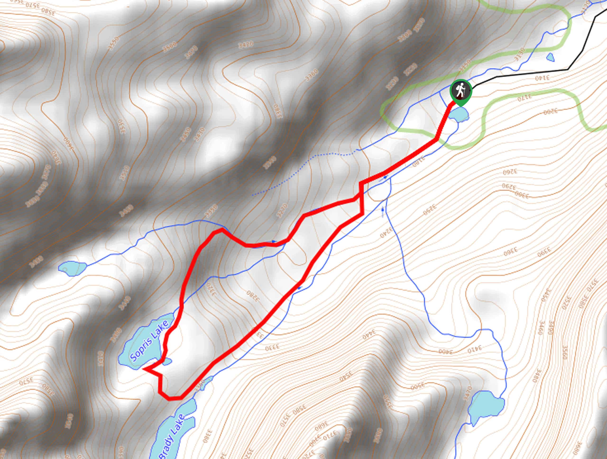
Sopris Lake via Brady Lake Trail
Immerse yourself in the jaw-dropping scenery that the Swatch Mountain Range has to offer, as you venture to Sopris Lake…
First Missouri Lake Trail
The First Missouri Lake Trail is a stunning day hike into Colorado’s high country. Explore the alpine terrain and revel…
Comments