Glen Canyon Park Loop
View Photos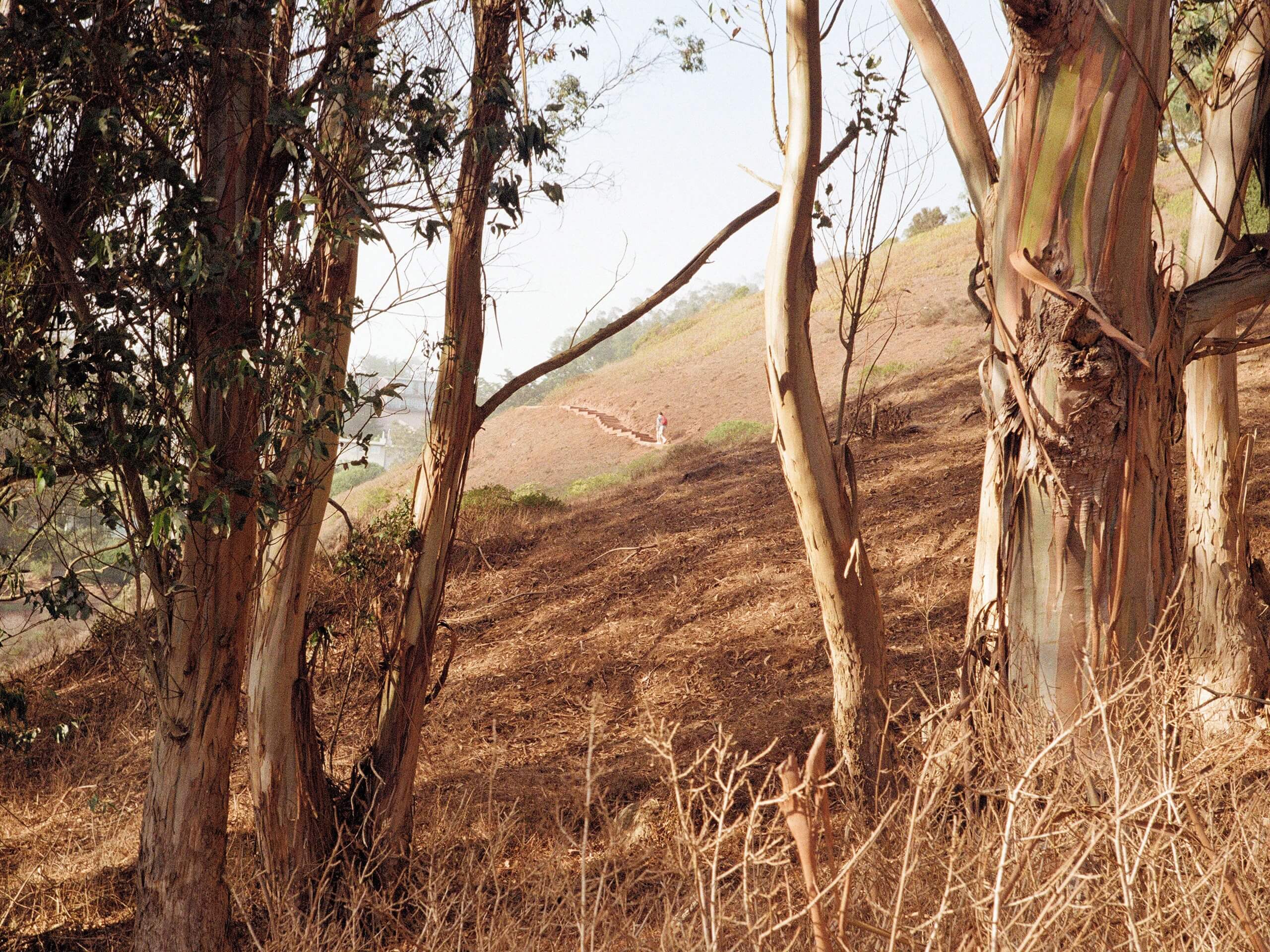
Glen Canyon Park Loop
Difficulty Rating:
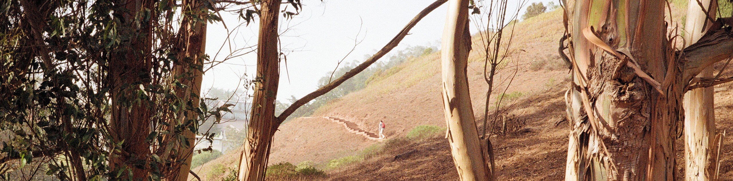
Escape the busyness of the city along the Glen Canyon Park Loop. This family-friendly nature walk is the perfect natural refuge, offering wonderful scenes of blooming wildflowers in the springtime and year-round lush vegetation, impressive outcrops, and a charming stream.
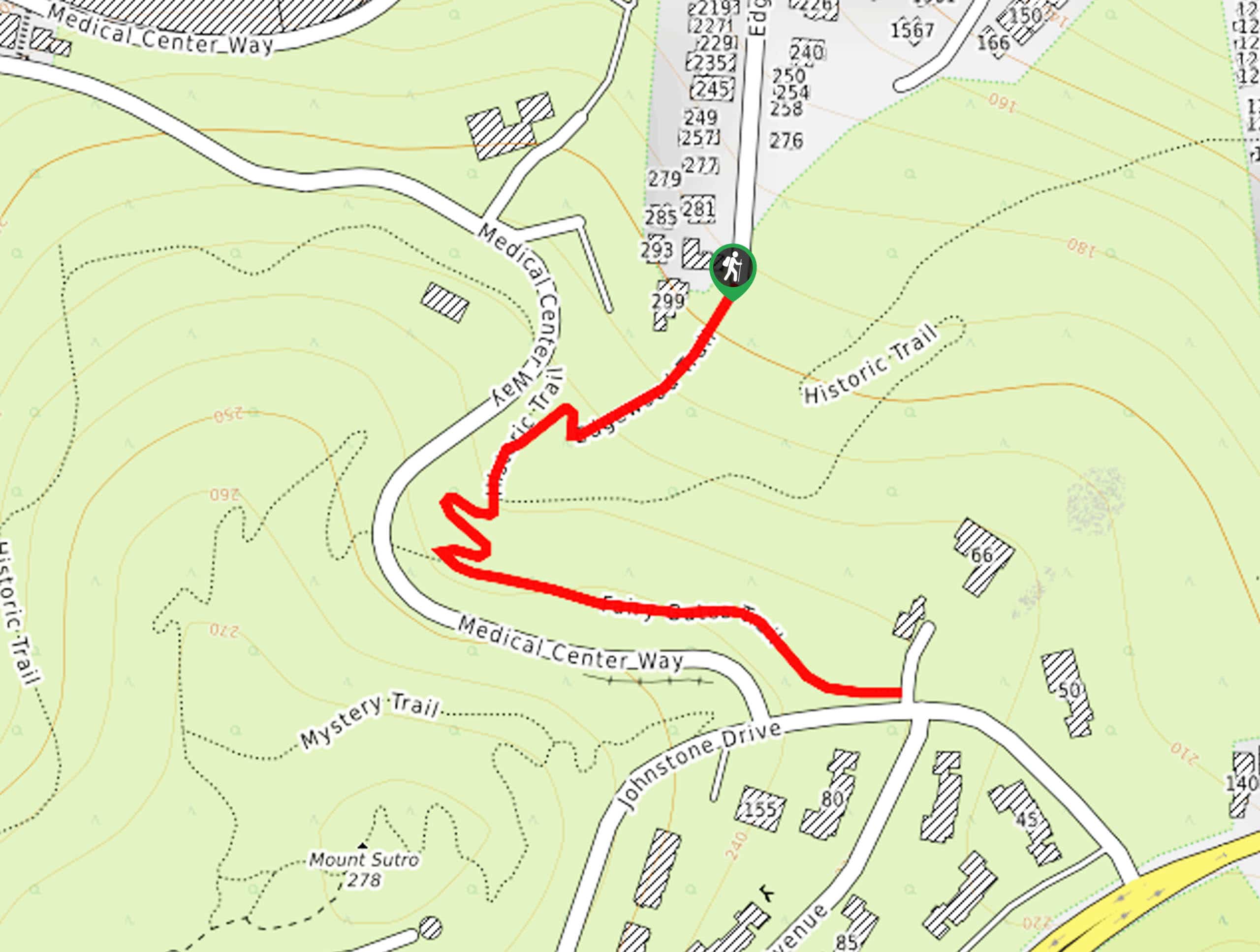
Getting there
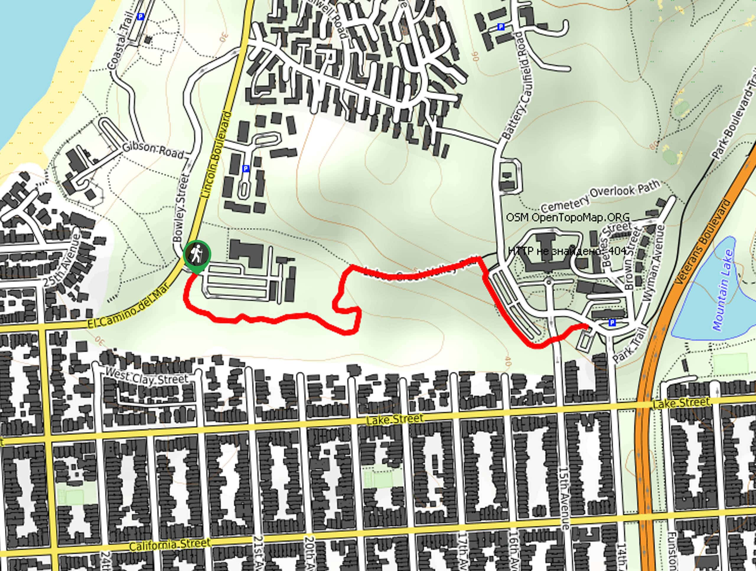
Access this adventure via the trailhead off Diamond Heights Boulevard.

About
| Backcountry Campground | No |
| When to do | Year-round |
| Pets allowed | Yes - On Leash |
| Family friendly | Yes |
| Route Signage | Average |
| Crowd Levels | High |
| Route Type | Lollipop |
Glen Canyon Park Loop
Elevation Graph
Weather
Glen Canyon Park Loop Description
Those seeking a short, easy-going outdoor adventure in San Francisco should explore Glen Canyon Park. Nestled amongst the hustle and bustle of the city, this park provides a natural sanctuary of fresh air ideal for self-reflection. Enjoy the lovely path bound by intriguing outcroppings, vibrant wildflowers, and lush greenery as you get your steps in. Head out in the early morning for the most tranquil experience.
Setting out from the trailhead off Diamond Heights Boulevard, the Glen Canyon Park Loop follows the access trail south, past the George Christopher Playground and into the park. Soon after your departure, you will confront an intersection; keep right here. Now tracking along the Coyote Crags Trail, you will be guided along the outskirts of the park before confronting another junction. Veer left here, and you will be diverted onto the Islais Creek Trail, which runs parallel to the beautiful creek. Now wandering southwardly, you will pass the Glenridge Cooperative Nursery before ultimately reaching the path’s end at the recreation center.
At this point, you will loop around the recreation center and playground, reconnecting with the Coyote Crags Trail at the following intersection. Track this route northwardly, back to the initial intersection with the access trail. From here, turn right and retrace your steps back to the trailhead.
Similar hikes to the Glen Canyon Park Loop hike
Lobos Creek Valley Path Hike
The Lobos Valley Creek Path Hike is a lovely adventure in Presidio Park that hikers of all skill levels and…
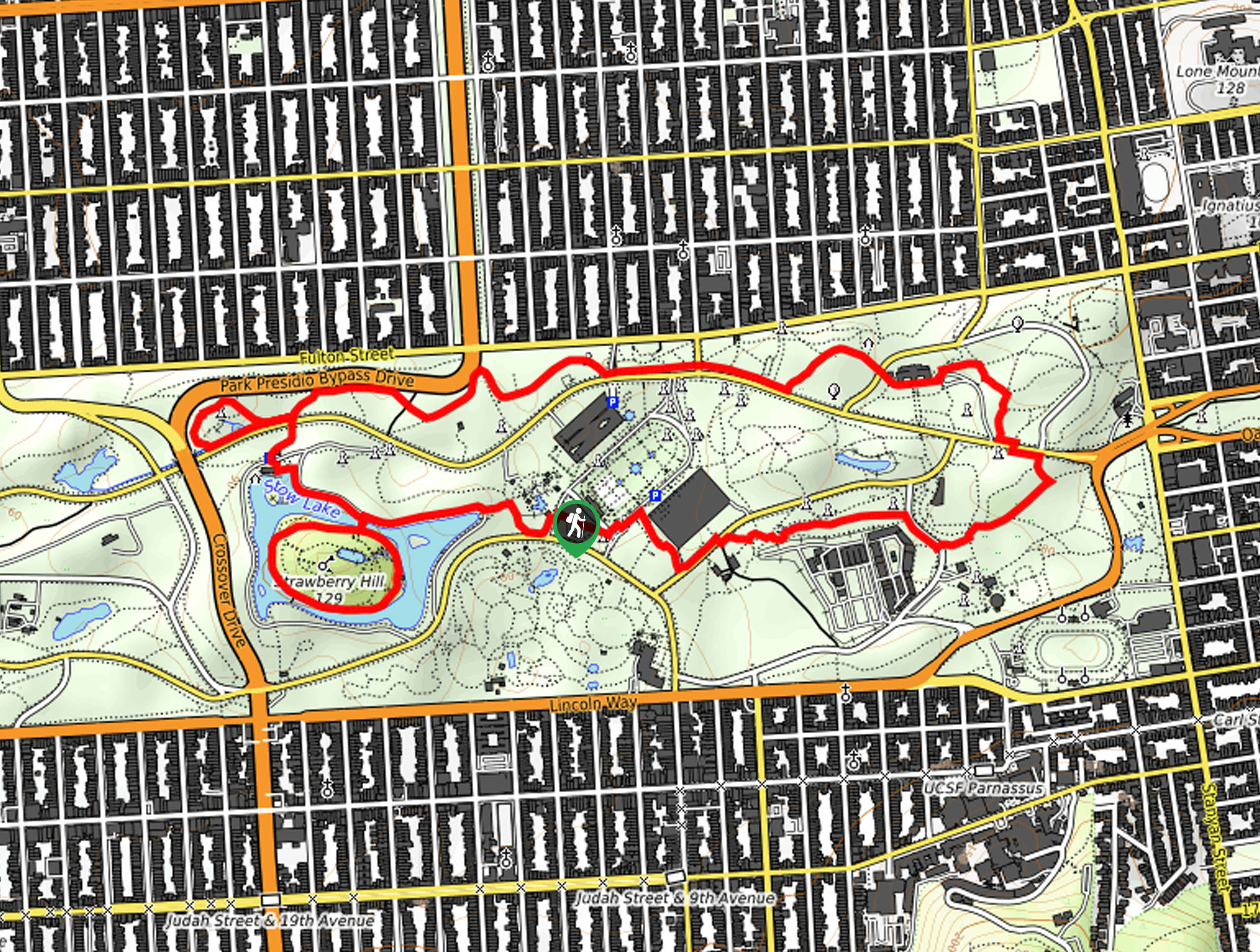
Hippie Hill and Stow Lake Loop Hike
The Hippie Hill and Stow Lake Loop Hike boasts a magical experience in the Golden Gate Park. Explore the city’s…
Fairy Gates Trail
The Rose Valley Falls Hike boasts an enchanting experience in San Francisco. Explore the Mount Sutro Open Space Reserve’s nook…
Comments