
Bay Area Ridge Trail
View Photos
Bay Area Ridge Trail
Difficulty Rating:
The Bay Area Ridge Trail offers views of the quintessential San Francisco landmarks—including unrivaled panoramas of the Golden Gate Bridge. This epic adventure travels along the coastal bluffs beneath the famous bridge and past several historic batteries worth exploring.
Getting there
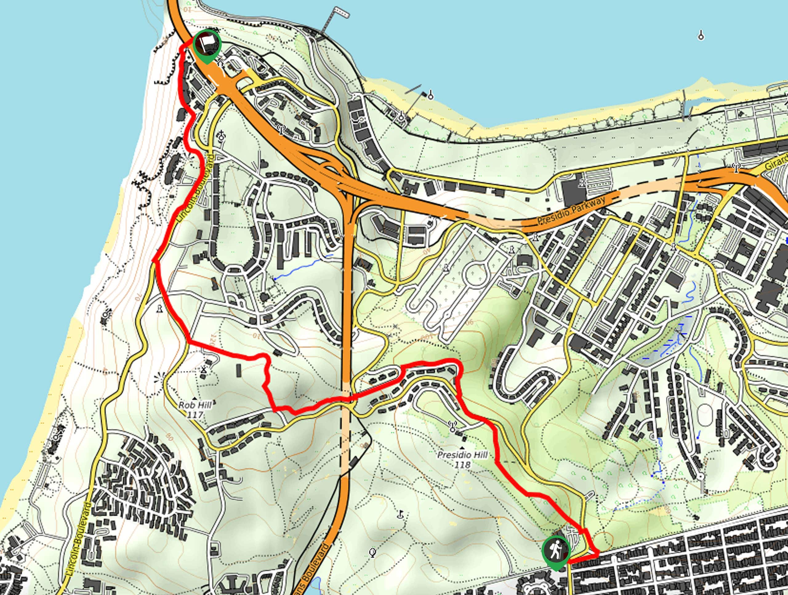
The Bay Area Ridge Trail departs from the Bay Area Ridge Trailhead off Arguello Blvd.

About
| Backcountry Campground | No |
| When to do | Year-round |
| Pets allowed | Yes - On Leash |
| Family friendly | Yes |
| Route Signage | Average |
| Crowd Levels | High |
| Route Type | One Way |
Bay Area Ridge Trail
Elevation Graph
Weather
Bay Area Ridge Trail Description
This family-friendly hike is a must add to your adventure itinerary. The Bay Area Ridge Hike is an awesome one-way adventure that beckons the exploration of tourists from around the globe—so expect to share the trail. Though this route is considered a point-to-point trail, it can easily be made an out-and-back adventure by simply retracing your footing back to the trailhead. Don’t forget to leave a car or arrange for pickup at the trail’s end.
Setting out from the trailhead, the Bay Area Ridge Trail wanders northwardly, near the Presidio Golf Course and up to the National Cemetery Overlook. Admire the scenery of the cityscape and the memorial before continuing along the path, ultimately passing Rob Hill and connecting with the Coastal Trail. The Coastal Trail offers unrivaled views of the Pacific as it guides adventurers past the Battery West and the Battery Godfrey. Take the time to explore the historic site and revel in the amazing scenery of the Golden Gate Bridge.
Nest, you will be led to the Battery Marcus Miller and Battery Cranston; take the time to read the interpretive panels that line the path. Eventually, you will cross underneath the bridge before reaching your adventure’s end at the Lancaster Battery.
Similar hikes to the Bay Area Ridge Trail hike
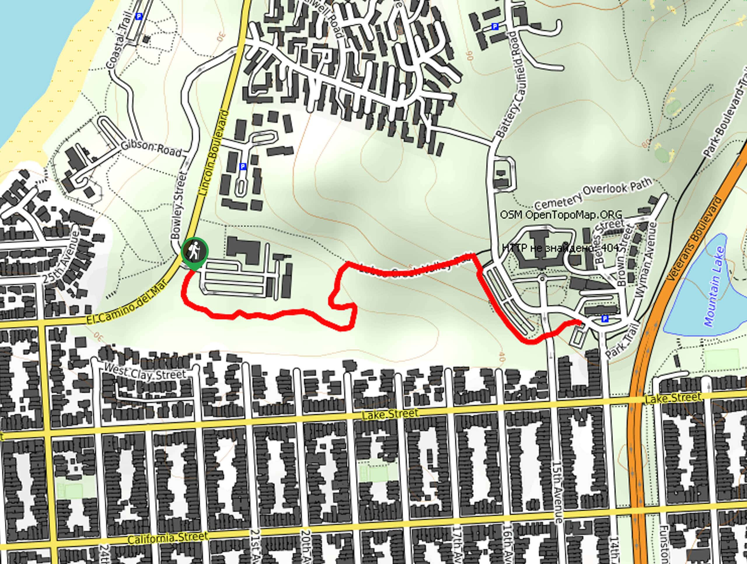
Lobos Creek Valley Path Hike
The Lobos Valley Creek Path Hike is a lovely adventure in Presidio Park that hikers of all skill levels and…
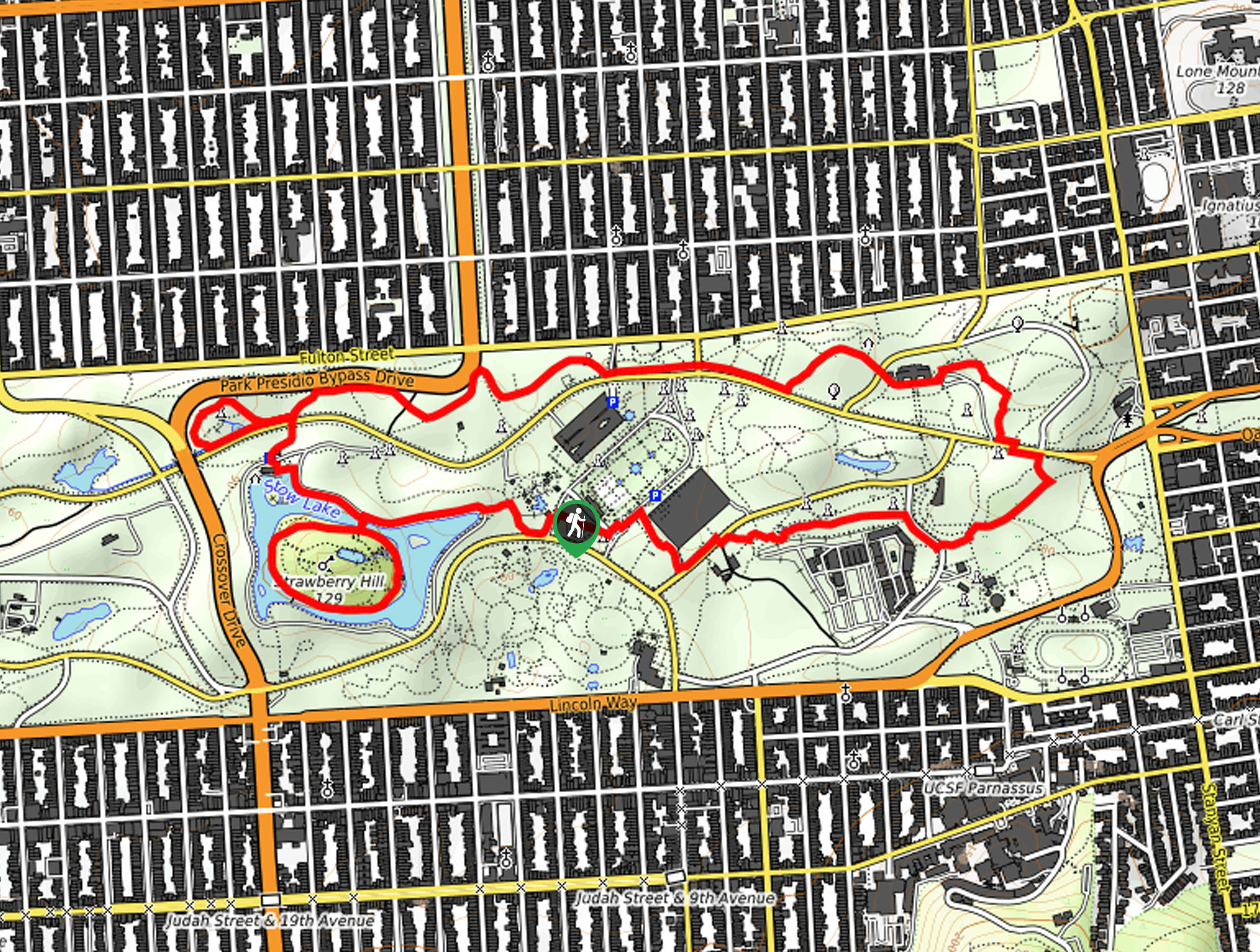
Hippie Hill and Stow Lake Loop Hike
The Hippie Hill and Stow Lake Loop Hike boasts a magical experience in the Golden Gate Park. Explore the city’s…
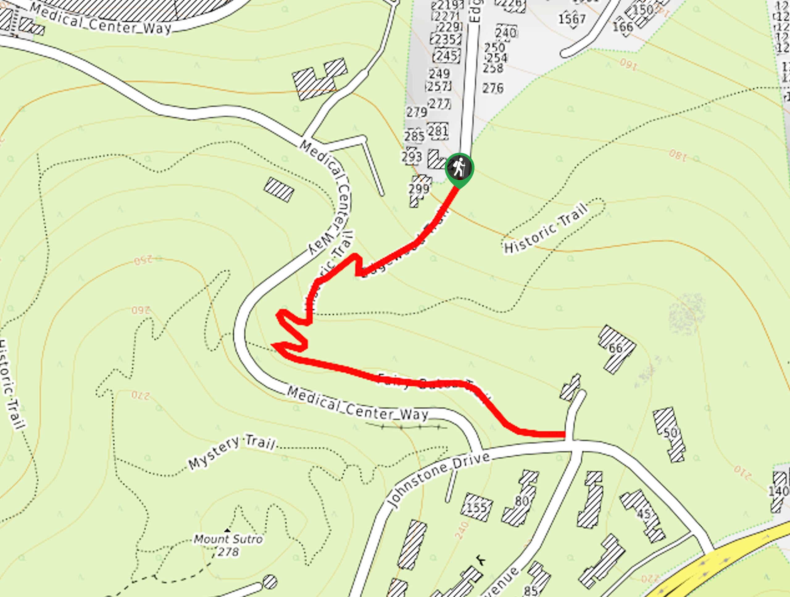
Fairy Gates Trail
The Rose Valley Falls Hike boasts an enchanting experience in San Francisco. Explore the Mount Sutro Open Space Reserve’s nook…
Comments