Boulder Grand Pass Trail
View Photos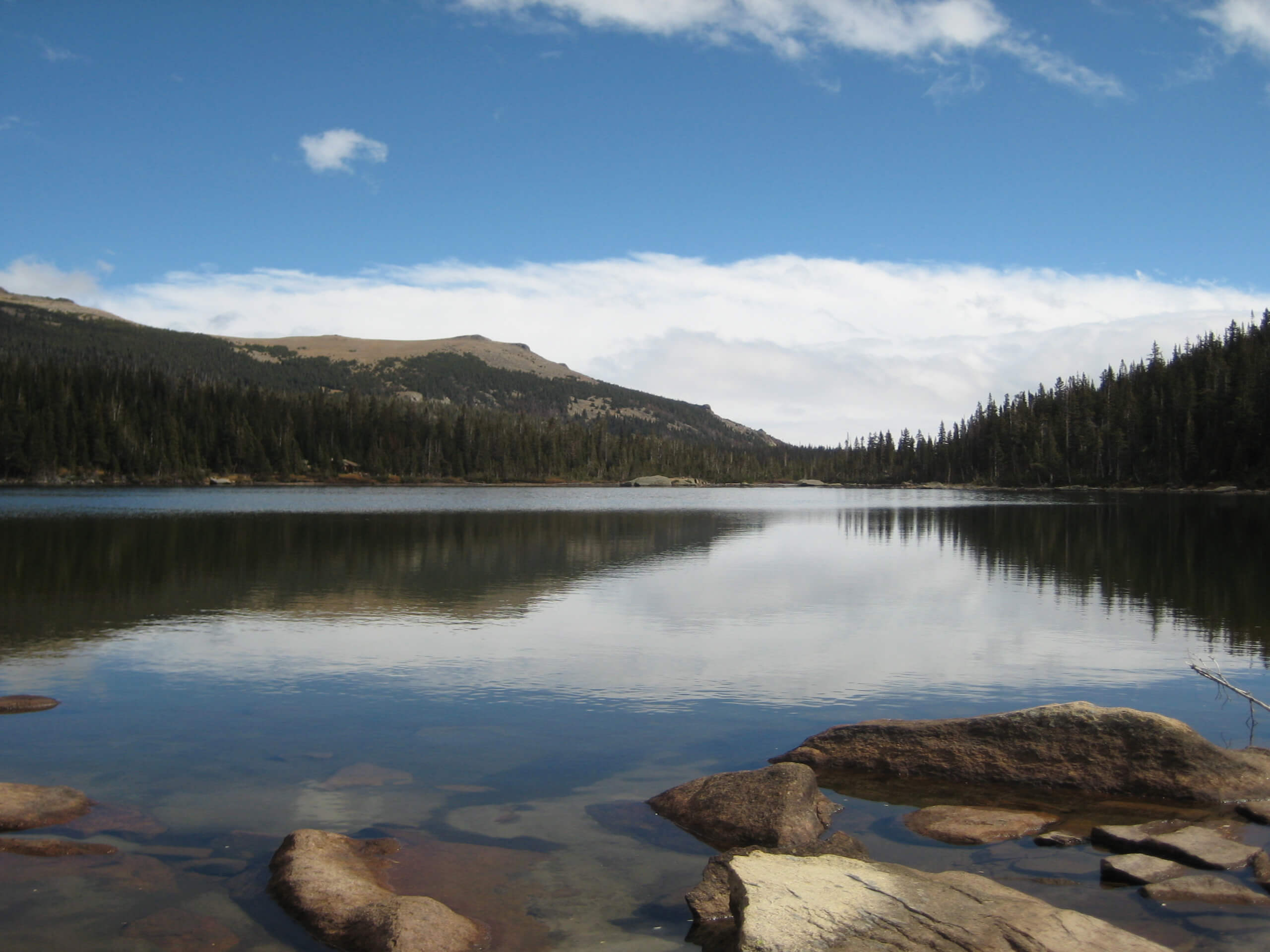
Boulder Grand Pass Trail
Difficulty Rating:
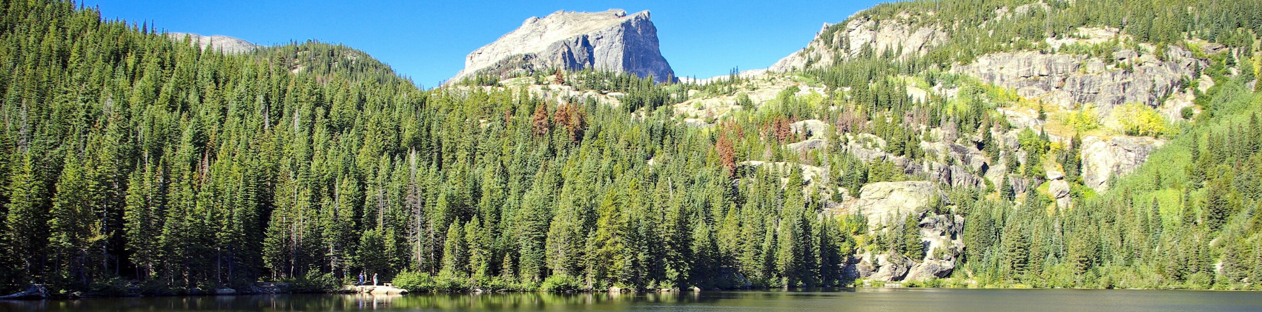
Adventure past several cascading waterfalls, through aspen groves and alpine tundras up to Thunder Lake and the Boulder Grand Pass. The Boulder Grand Pass Trail is a lengthy but undeniably rewarding hike in the Rocky Mountain National Park that reveals stunning alpine vistas.
Getting there
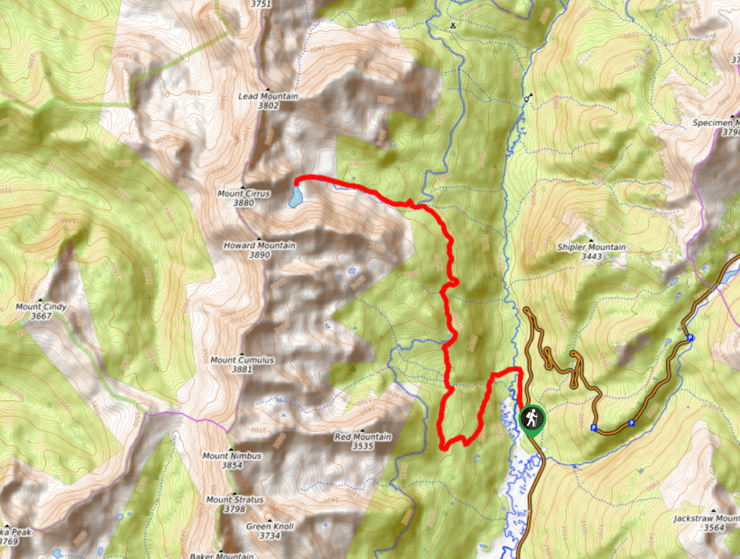
The Boulder Grand Pass Trail departs from the Wild Basin Trailhead off County Highway 115.

About
| Backcountry Campground | Designated Dispersed Campsites, view details here. |
| When to do | April-September |
| Pets allowed | No |
| Family friendly | No |
| Route Signage | Average |
| Crowd Levels | Moderate |
| Route Type | Out and back |
Boulder Grand Pass Trail
Elevation Graph
Weather
Boulder Grand Pass Trail Description
Make sure you have one some comfortable hiking shoes before beginning your journey along the Boulder Grand Pass Trail. This adventure is lengthy, vertiginous, and not for the faint of heart. Exhibiting the diversity of the Colorado wilderness, the Boulder Grand Pass Trail also exhibits diverse weather, so wear layers as insurance against chilly conditions. Microspikes are also a great idea as the terrain will likely be snowy as you ascend in elevation. Remember, because the trail is located within the Rocky Mountain National Park, visitors are required to purchase a pass.
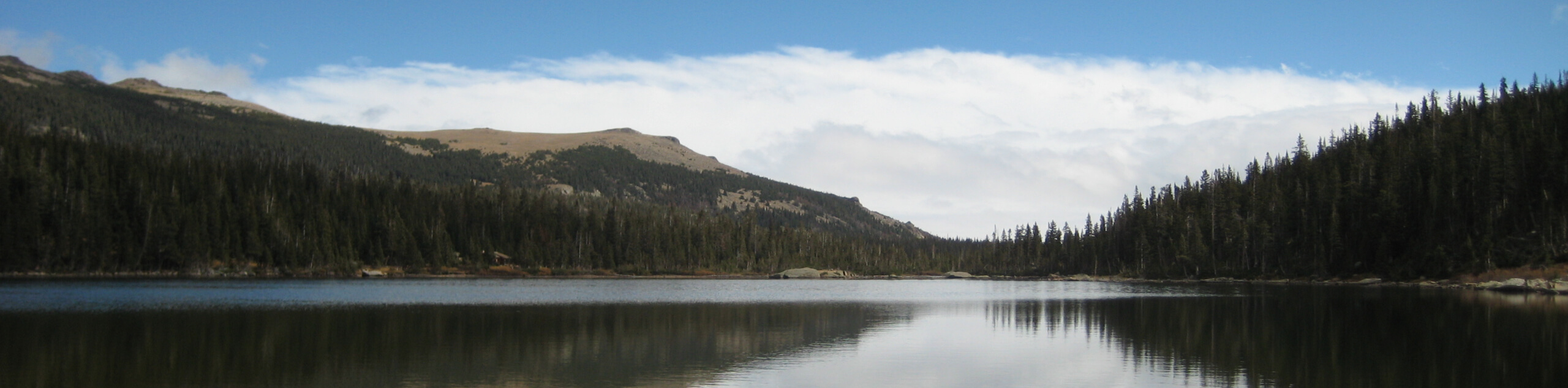
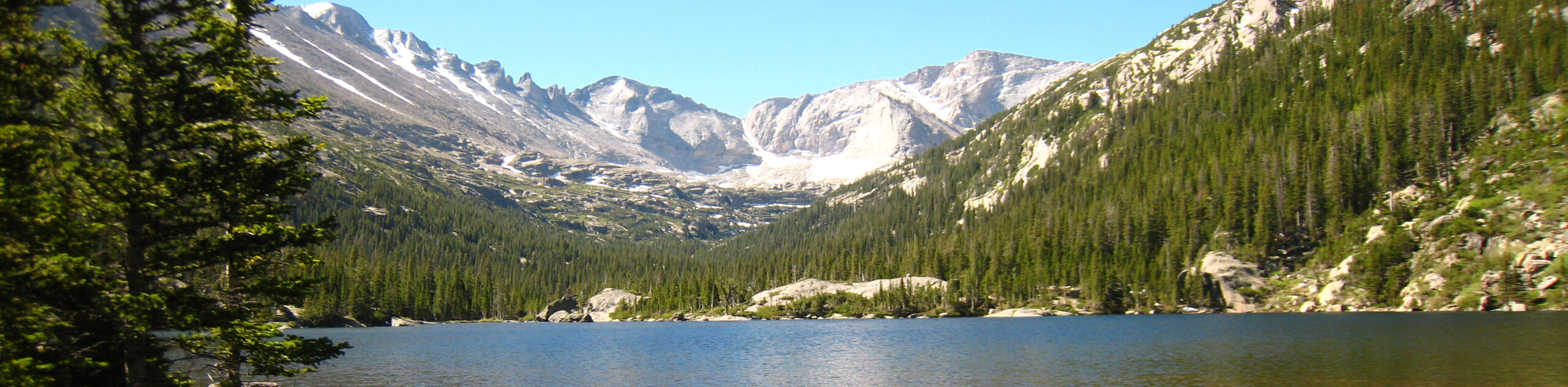
Departing from the Wild Basin Trailhead, the Boulder Grand Pass Hike tracks southwest past three cascading falls. You will confront the first intersection at the Pine Ridge Campsites. Here, veer right and you will be diverted onto the Thunder Lake Trail. Hike along the North Saint Vrain Creek as the terrain gradually ascends. Eventually, you will encounter another junction. At this point, keep left and climb up to Thunder Lake. Along the shores of Thunder Lake is a great place to rest before the final push to the pass.
Dip your tired toes in the chilly alpine waters before ascending the Boulder Grand Pass Trail up to the Lake of Many Winds. From here, the path is unmaintained. Scramble up the extremely steep terrain to the summit of the Boulder Grand Pass. Then, revel in the awe-inspiring views of the mountainous landscape that surrounds you. If you have any gas left in the tank, ascend Tanima Peak. Explore the summit and admire the beauty before retracing your steps along the path all the way back to the trailhead.
Similar hikes to the Boulder Grand Pass Trail hike
Lake of the Clouds Hike
The Lake of the Clouds Hike is a picturesque adventure on the western border of the Rocky Mountain National Park.…
The Spearhead Hike
The Spearhead Hike is a demanding but awesome hike in the Rocky Mountain National Park. Ascend the Glacial Gorge past…
Bear Lake to North Inlet Hike
The Bear Lake to North Inlet Hike is a demanding one-way excursion across the Rocky Mountain National Park. This challenging…
Comments