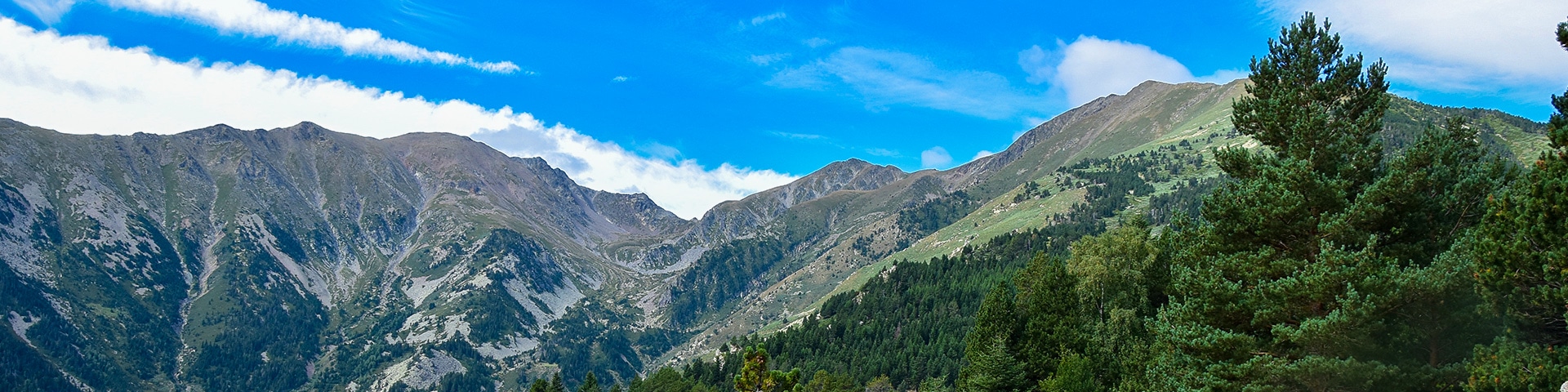
Pic du Canigou hike
View Photos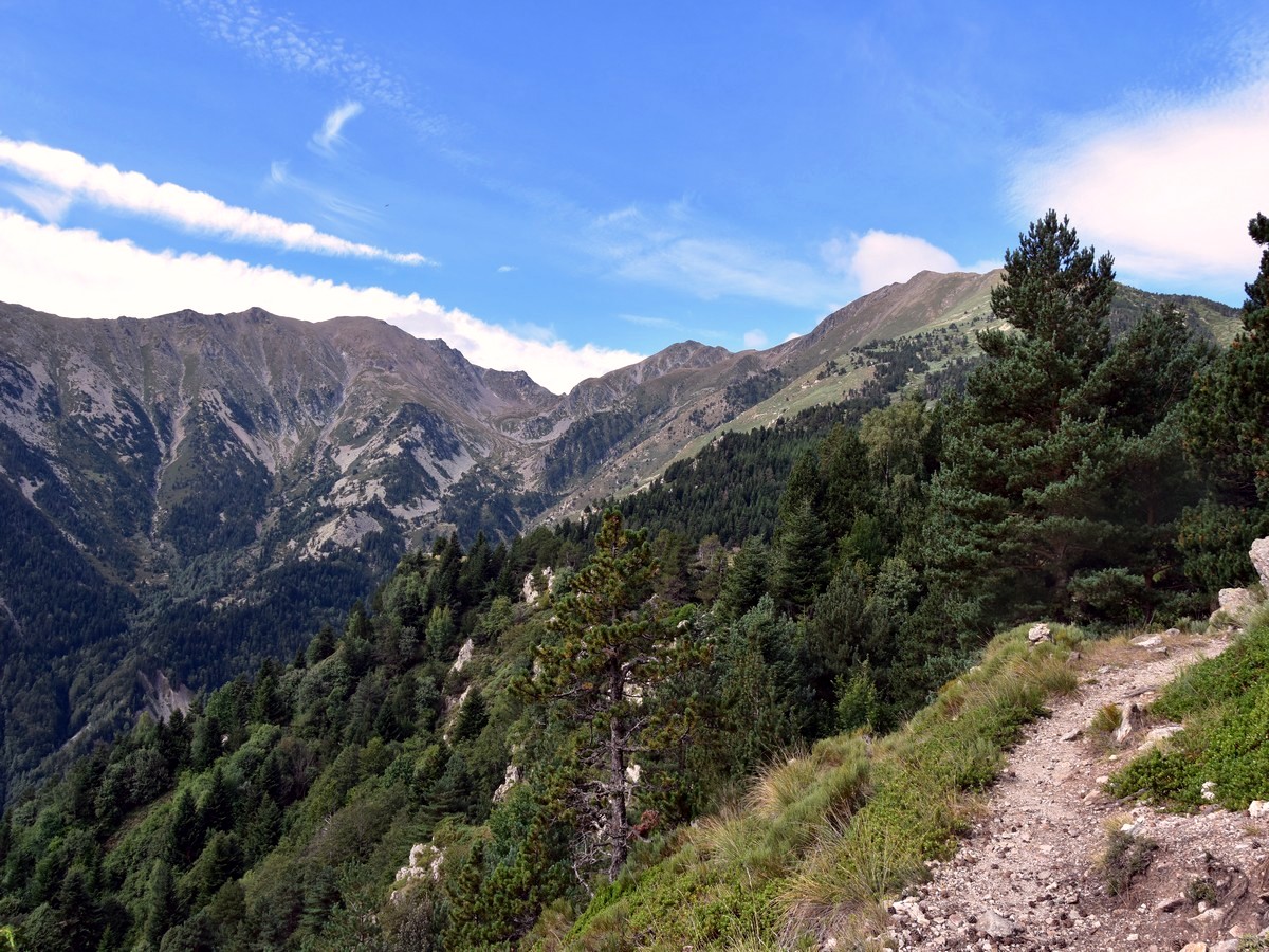
Pic du Canigou hike
Difficulty Rating:
Hiking the Pic du Canigou is a wonderful trail. It’s a big day with a lot of elevation gain, but this long hike will take you to the top of the sacred mountain of Catalonia - the very prominent Pic du Canigou (9134ft). It is the most easterly high summit of the Pyrenees!
Getting there
From the north, head for the village of Vallmanya, where you take a right turn following the D13D direction Los Masos (a hamlet which is part of Vallmanya, not to be mistaken with the eponymous village of Los Masos, which lies near Prades). Park at the end of the road at the car park near the hamlet of Los Masos.

About
| When to do | End of June to beginning of October, in the absence of snow |
| Backcountry Campsites | Bivvy permitted near the refuge |
| Toilets | Public toilets in the small village of Baillestavy (7km from starting point) |
| Family friendly | No |
| Route Signage | Poor |
| Crowd Levels | Moderate |
| Route Type | Out and back |
Pic du Canigou
Elevation Graph
Weather
Route Description for Pic du Canigou
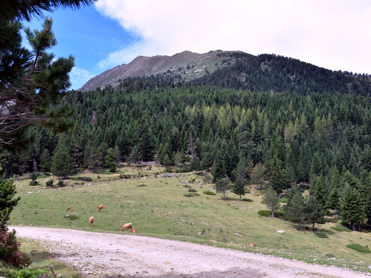
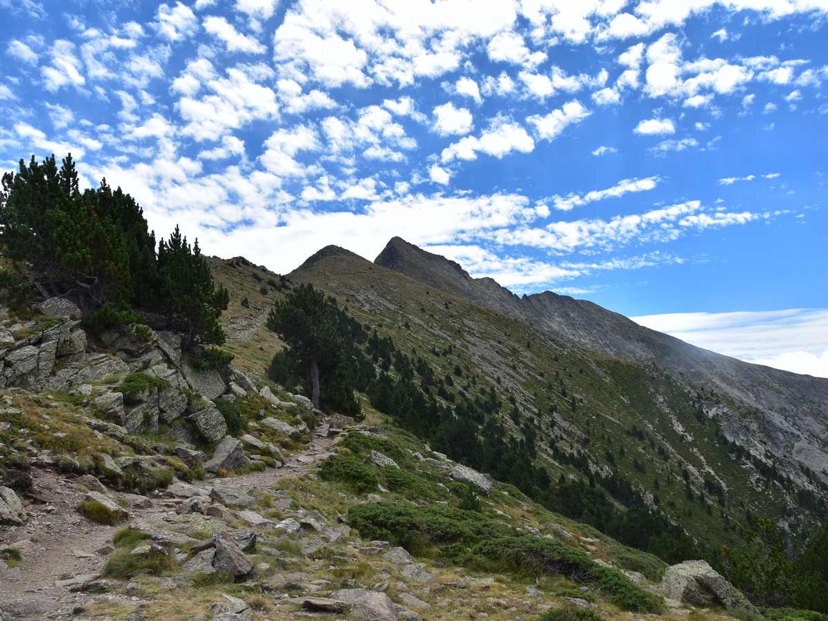
From the car park at Los Masos (3386ft), take the GR36 to your right (red and white markings). The path turns left almost immediately, going through the forest between two stone walls.
After a while, cross a gate (3609ft) and follow the path which winds its way up the steep slopes through the beautiful deciduous forest. If you are lucky, you may meet some beautiful, peaceful horses on the way.
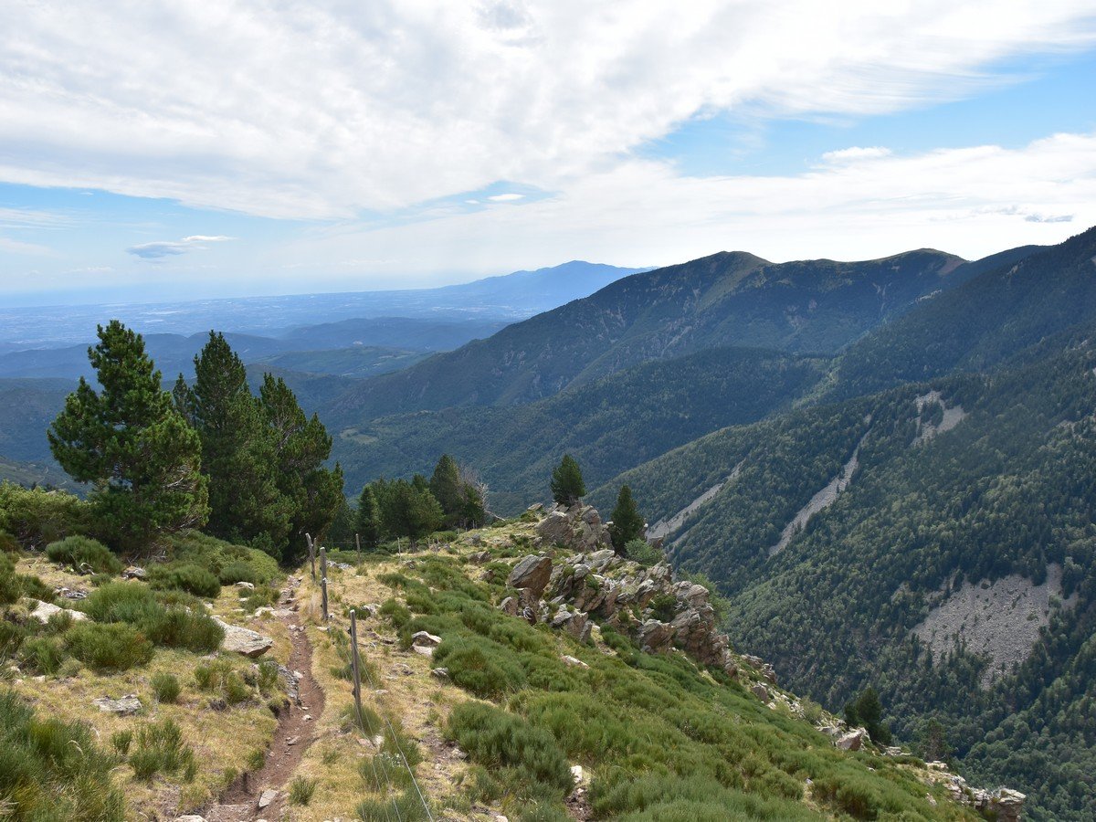
The trail is clear as it goes through the forest. From 3937ft, the views start to open, with the Mediterranean coastline soon visible. At 4987ft, even the city of Perpignan can be seen. At 5413ft, the views open for good as you head out of the forest and the Massif du Canigou can now be seen in front of you (though not the peak itself). Keep left on the path at a big pine tree and you will soon reach a gate. Cross the gate, direction Ras del Prat Cabrera, and head down a few metres to reach the main track, which you must follow to the left.
At this point, you will probably meet more cows than cars given the state of the track, but you will have the feeling of being a bit back to civilisation for a few minutes. The views now open to the NW as the track runs along a ridge. Follow the track for 1312ft or so and just where it makes a sharp bend to the right, watch for the markings and pick the trail to the left of the track, heading up through the trees (5479ft).
Soon after, you will reach the main track again at a bend at the Ras del Prat Cabrera (5705ft), where the GR36 meets the GR10. The path splits here, we will go left, but the main track (on your right) is the track you will return on. Our route climbs up through the pine trees, following the “GR10 Var.” (“Var.” stands for “Variante”, which means alternative route). This path adds a bit of time and distance, but will be much more interesting both in terms of walking and views.
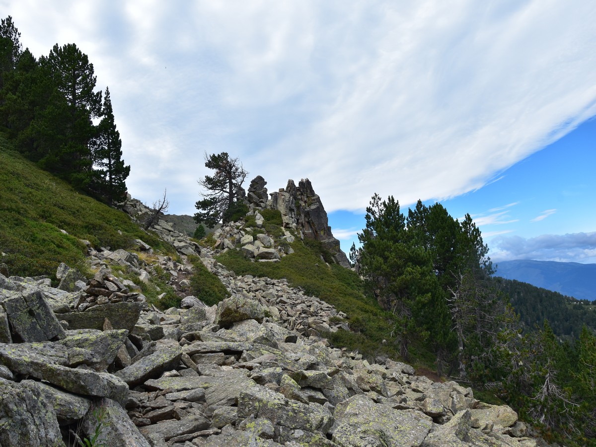
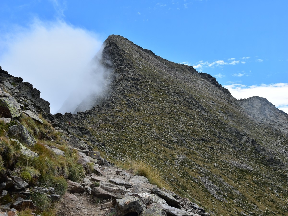
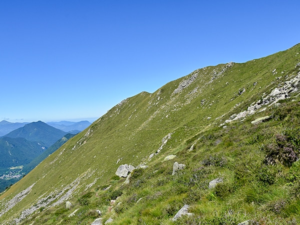
You will soon get out of the forest and enjoy a nice vista to your left, over the ridge which runs SE of the main peak. At about 6102ft, cross the gate and carefully keep following the red and white markings. The route is rather straightforward along the ridge, but here and there, the path splits into two, only for a few tens of metres; just make sure you find some markings after the two paths merge again.
At about 6759ft, the path makes a sharp bend to the right and leaves the ridgeline. The ground levels for a while and you soon cross another gate. Further along the way, as you are back through the trees (6955ft), the path makes a sharp turn to the left at a cairn as it starts contouring the mountainside to the north.
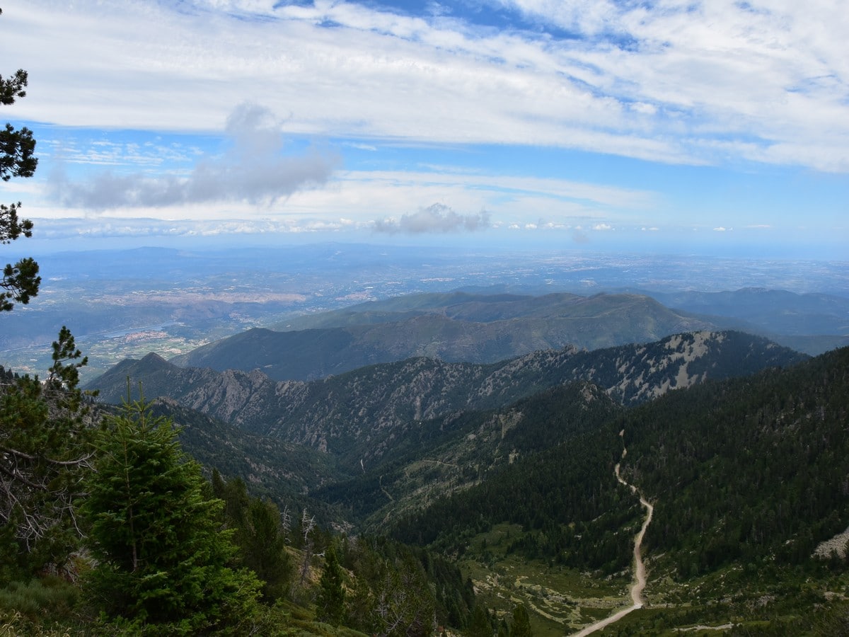
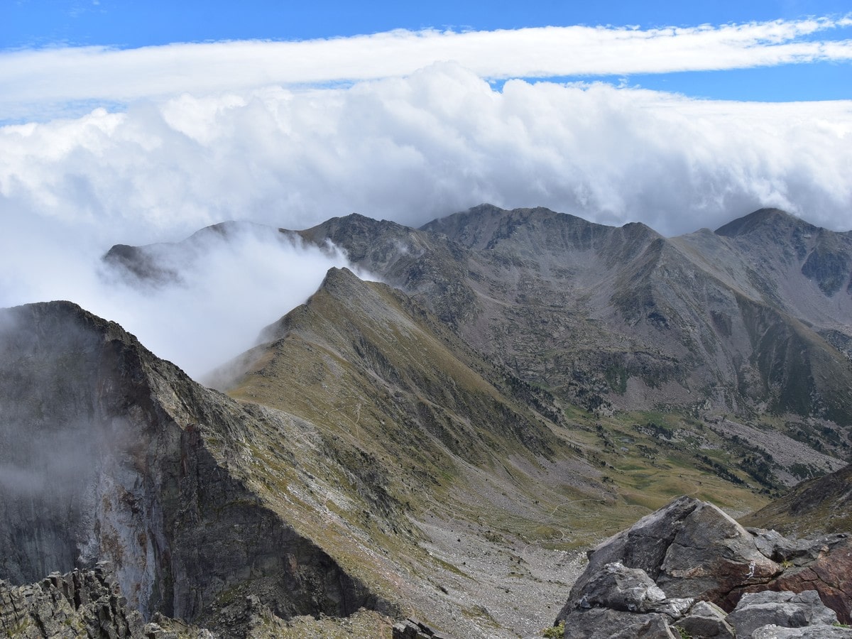
This is arguably the wildest part of the walk, with great views opening over the Têt valley to the north. At roughly 7054ft, the path levels again and makes a beeline across a small boulder field, then across another at 7103ft. It then descends steeply through the forestry, contouring a rocky outcrop. The Refuge/Chalet des Cortalets is now visible to your right.
Shortly, you will be walking among the remains of a Dakota aircraft which crashed there in 1961. The path then goes down again before levelling for good, offering an easy, 0.6mi stroll along the slopes to the Refuge des Cortalets.
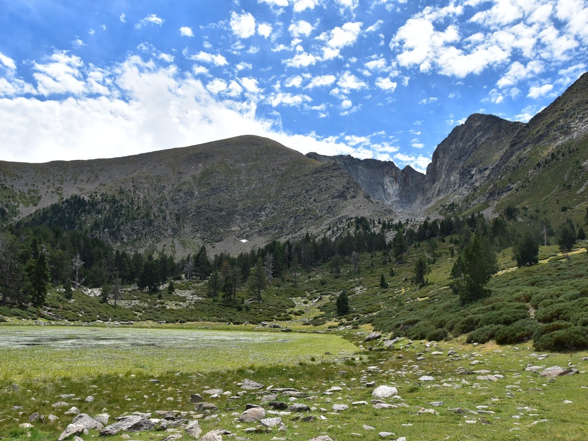
“Cortalet” is a local name for sheepfold. The refuge was built in 1899 and has been extended and restored between 1976 and 1979. If you intend to stay there, booking is mandatory. From the terrace, you can enjoy a drink with a view over the Pic du Canigou, which is then visible for the first time of the walk. There are still about 2428ft to climb to reach the top, and this will probably be the busiest part of the walk, as the peak is very popular.
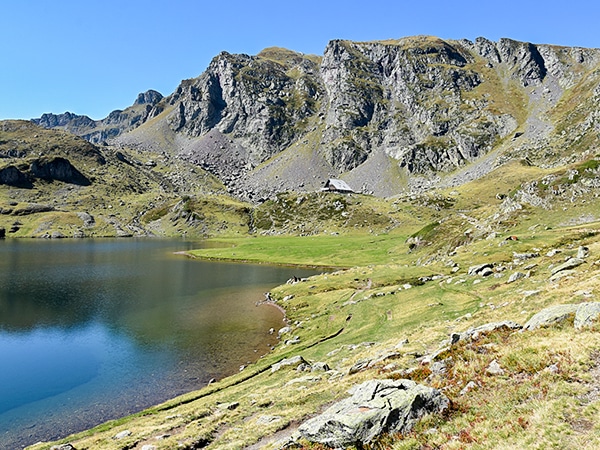
Take the GR10 in a SW direction, passing by a small lake with some dramatic views of the Crête du Barbet in the distance. Soon after the lake, the path veers NW up across the steep slopes. Soon leave the GR10 to your right and follow the yellow marks to the left. Avoid taking shortcuts and stick to the well-trodden path, as part of the eroded slopes are currently under repair to allow the vegetation and wildlife to take over again.
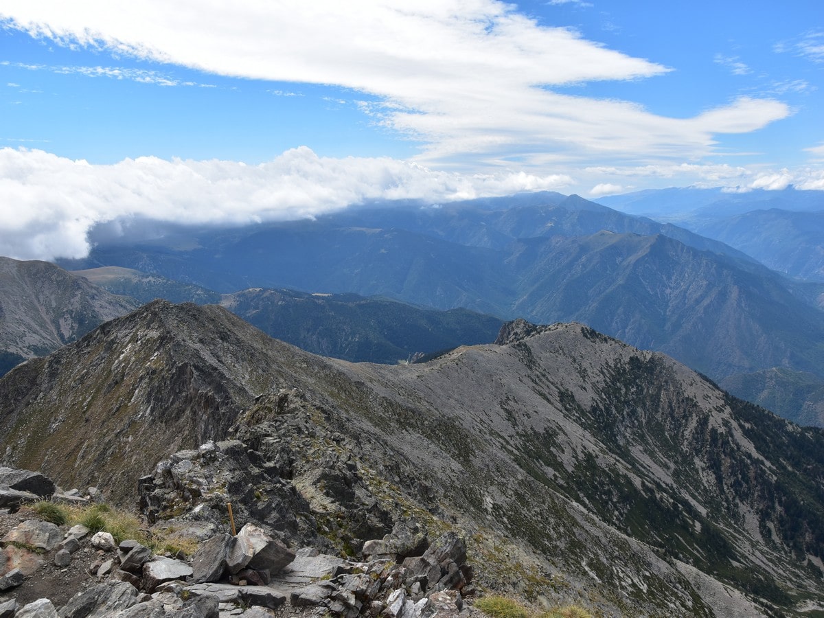
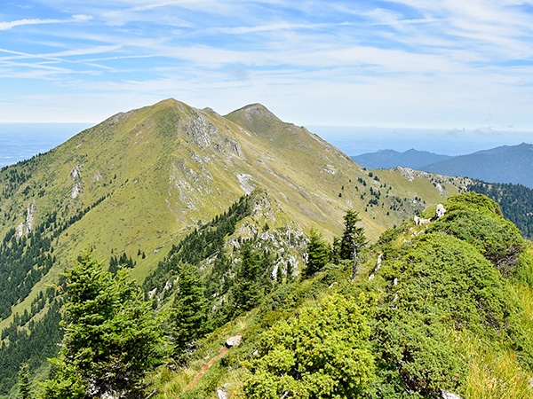
After this steep part, you will reach the Pic Joffre (7749ft), which is actually not a real summit but marks the beginning of the main ridge. The path makes a sharp turn left here, and the rest of the route is visible – a fine ridge walk with a fantastic vista to the right.
Follow the yellow-marked trail which now runs just below the ridgeline, reaching the ridge’s edge on two occasions, thus offering some impressive views over the Crête du Barbet.
The going becomes less gentle as you get closer to the last, steep part of the ascent, a series of zigzags through rocks and scree, where you might need to use your hands once or twice.
The arrival at the summit is a true relief after such a long journey, so take some time to enjoy the mighty views! The summit has a beautiful, brightly coloured viewpoint indicator and two plaques with the same poem, one in French and one in Catalan. Just a few metres from there stands a metal cross draped with Catalan flags and other, various flags.
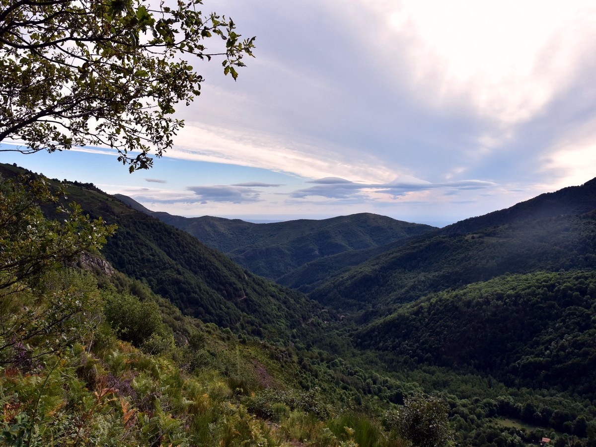
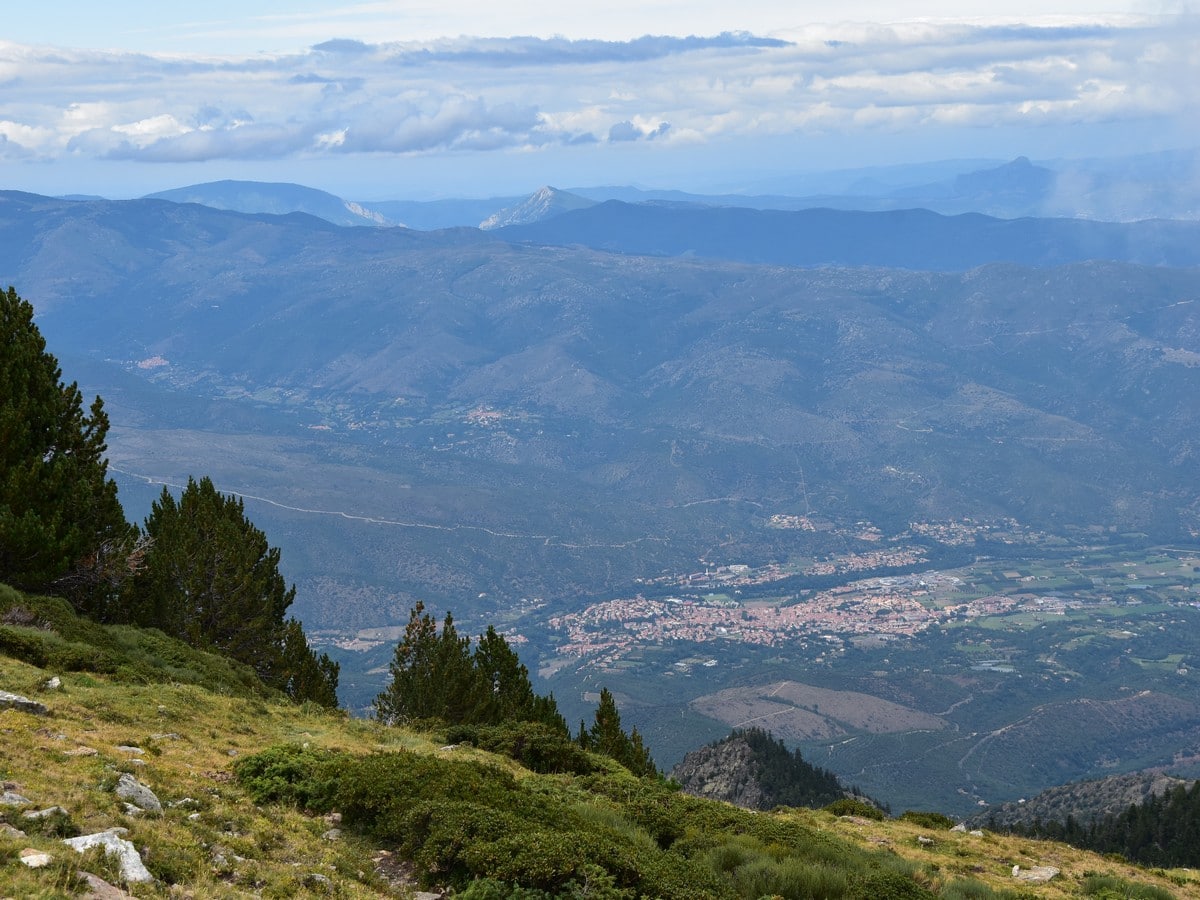
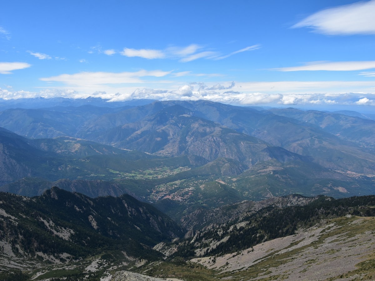
The 360° vista is just breathtaking, with the Crête du Barbet to the east and the sharp, main ridge continuing to the SE. You can also see a long stretch of the Mediterranean coast on a clear day. On the west side, steep slopes roll down into the valley where lie the town of Vernet-les-Bains and other villages, while in the distance, lines and lines of mountains can be seen.
The return is mostly the way you came up. Descend to the refuge. From there you can retrace your steps however the easier option is to follow the main track which starts between the two buildings, heading downhill to the car park at the Ras dels Cortalets (6742ft). Pick the GR10/GR36 to the right and follow the main track until you are back at the Ras del Prat Cabrera (5705ft). From there, retrace the path you ascended on.
Insider Hints
This route is not really challenging in terms of navigation, but will require some concentration in places where the trail may become less obvious. The markings are present all the way up, but are a little more scarce on the GR10 Variante between the Ras del Prat Cabrera and the Refuge/Chalet des Cortalets.
Do not forget that the difference of height between the starting point and the summit usually means a difference in temperature too.
The Refuge (or Chalet) des Cortalets offers a good opportunity for a break either on the way up or on the way down (or both!). It serves a whole range of hot or fresh drinks, including local craft beers. You can stop at the small Café de la Farga in Baillestavy to enjoy some lovely local food. You will also find a whole range of bars and restaurants in the villages along the main road (N116) between Prades and L'Ille-sur-Têt.
If this is too long for one day, why not book a night or two at the Refuge des Cortalets, enabling you to split the total amount of climbing in two days/hikes. Alternatively, a company provides fares up to the Refuge with a SUV. But be warned, the trip up the never-ending dirt track is rather bumpy.
For more experienced walkers, there are several alternative routes up the Pic du Canigou. One starts at the Parking du Randé, a car park beneath the Refuge de Mariailles. This route starts at 4987ft and therefore has less climbing (ca. 4265ft), but the last part is very steep and includes a scramble up a chimney just below the summit. This chimney can also be reached from the refuge via a small trail which follows la Crête des Barbets. There are various other starting points from the villages to the NW, but the forest tracks are usually not accessible to traffic, which makes for a decent amount of climbing from either side.

Similar hikes to the Pic du Canigou hike
Pique Rouge de Bassiès
Hiking to the Pique Rouge de Bassies is a wonderful, challenging hike. The main peaks in Ariège are some of…
Lacs et Pic d’Ayous
Known locally as Tour des Lacs et Pic d’Ayous hike, this walk will take you through some amazing scenery. Hiking…
Cagire Loop
Hiking the Cagire Loop takes you on a beautiful ridge walk with views over the highest peaks of the Pyrenees.…
Slavka Pochodi 4 years ago
A beautiful place! Very interesting experience. High effort through rock and scree
Felix Legrand 4 years ago
The Trail difficult enough for a beginner level but what a reward at the top
Arnie Q. 5 years ago
A challenging hike that rewards you with a beautiful view at the summit. I enjoyed it a lot.
Lambert MD. 5 years ago
A wonderful trail with a lot of elevation gains. A long hike will take you to the top of the sacred mountain of Catalonia. This route is not challenging in terms of navigation.
Marcel A 5 years ago
It was a very steep climb to pic du Canugou. The award was a spectacular view around the top.