Teapot Mountain Trail
View Photos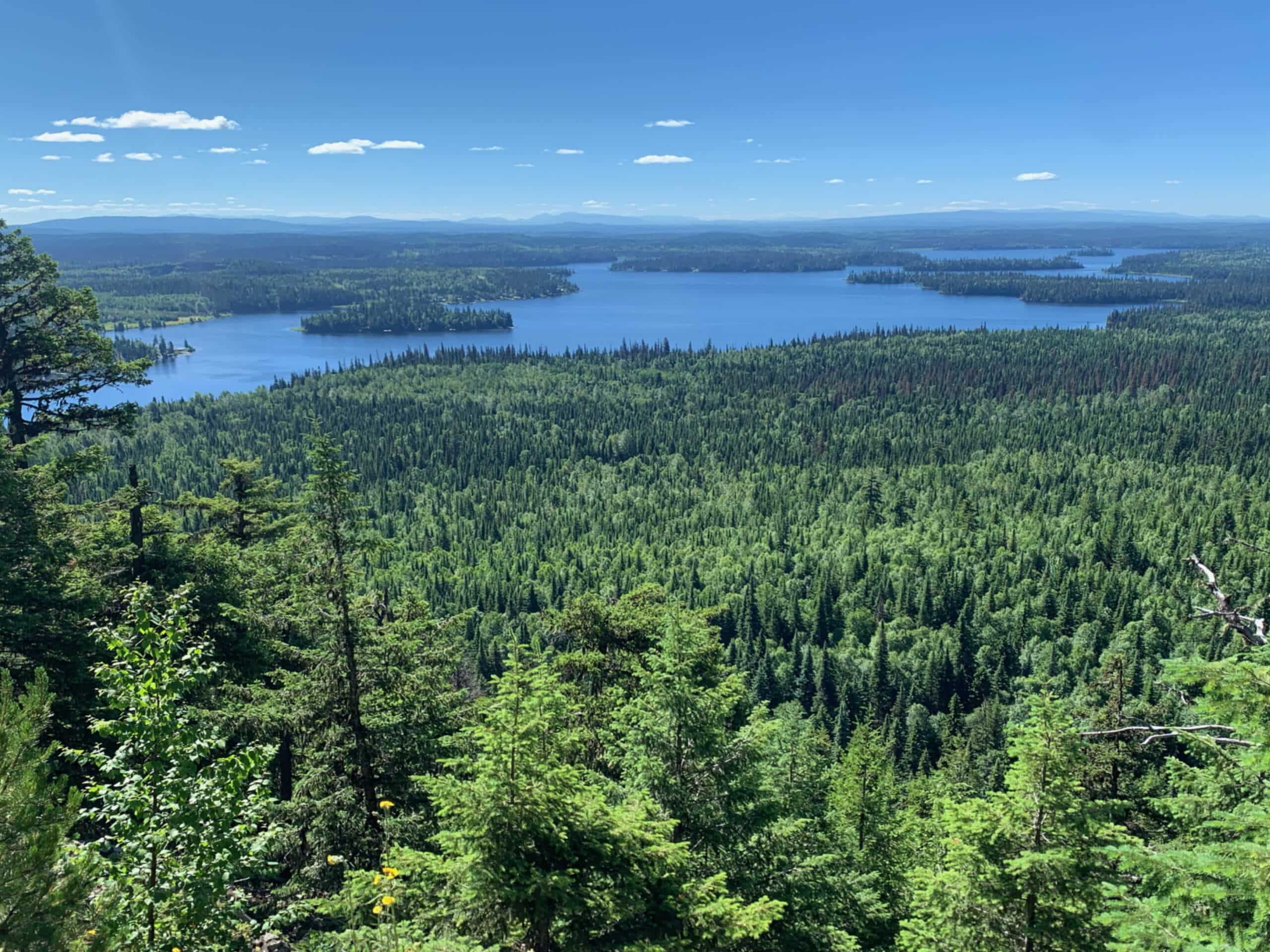
Teapot Mountain Trail
Difficulty Rating:
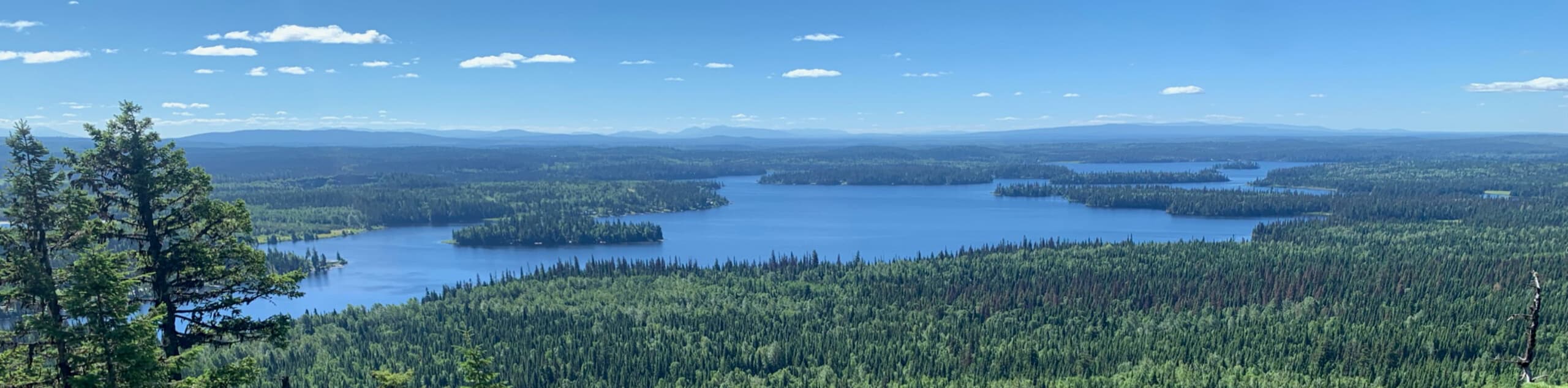
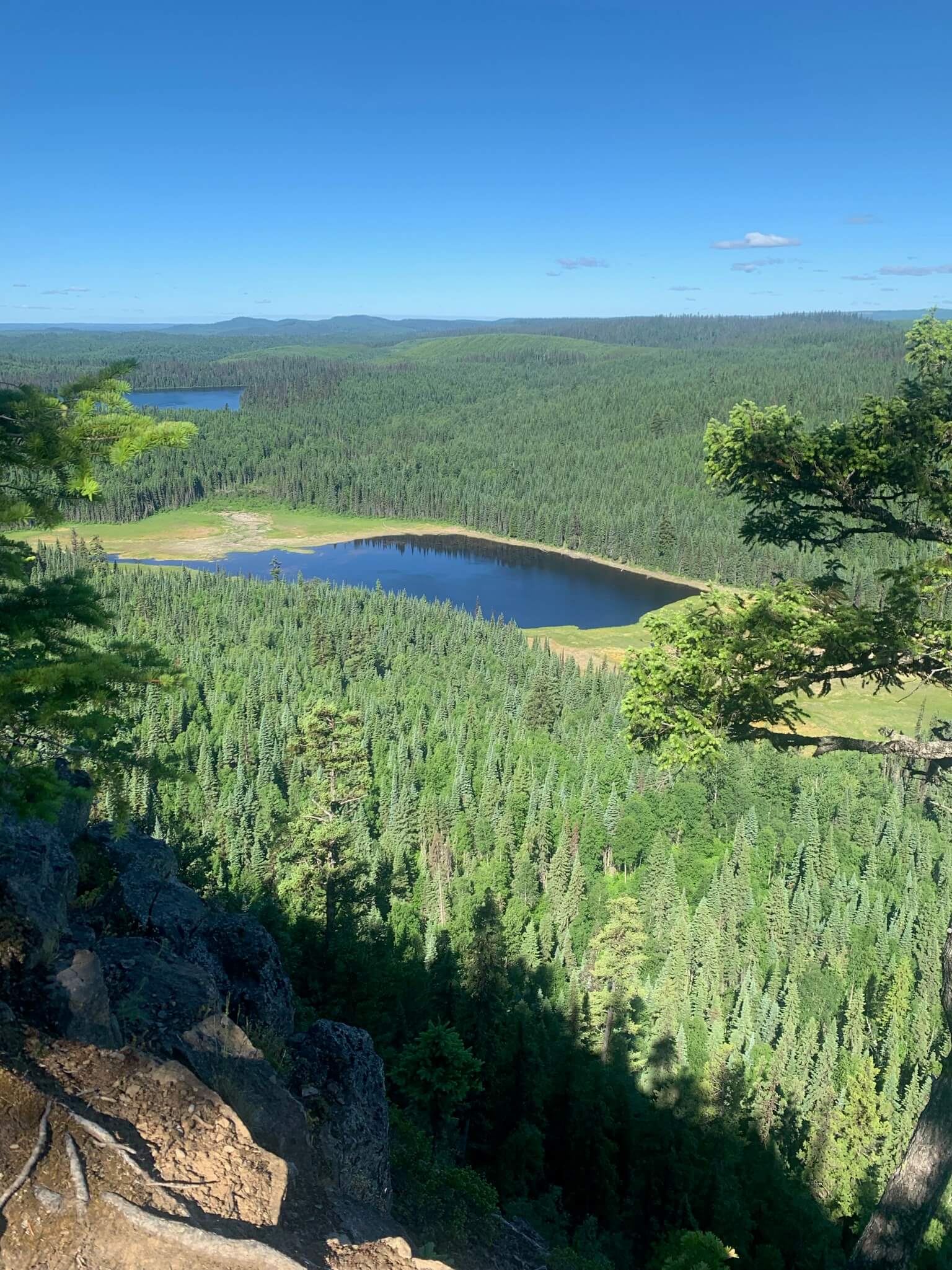
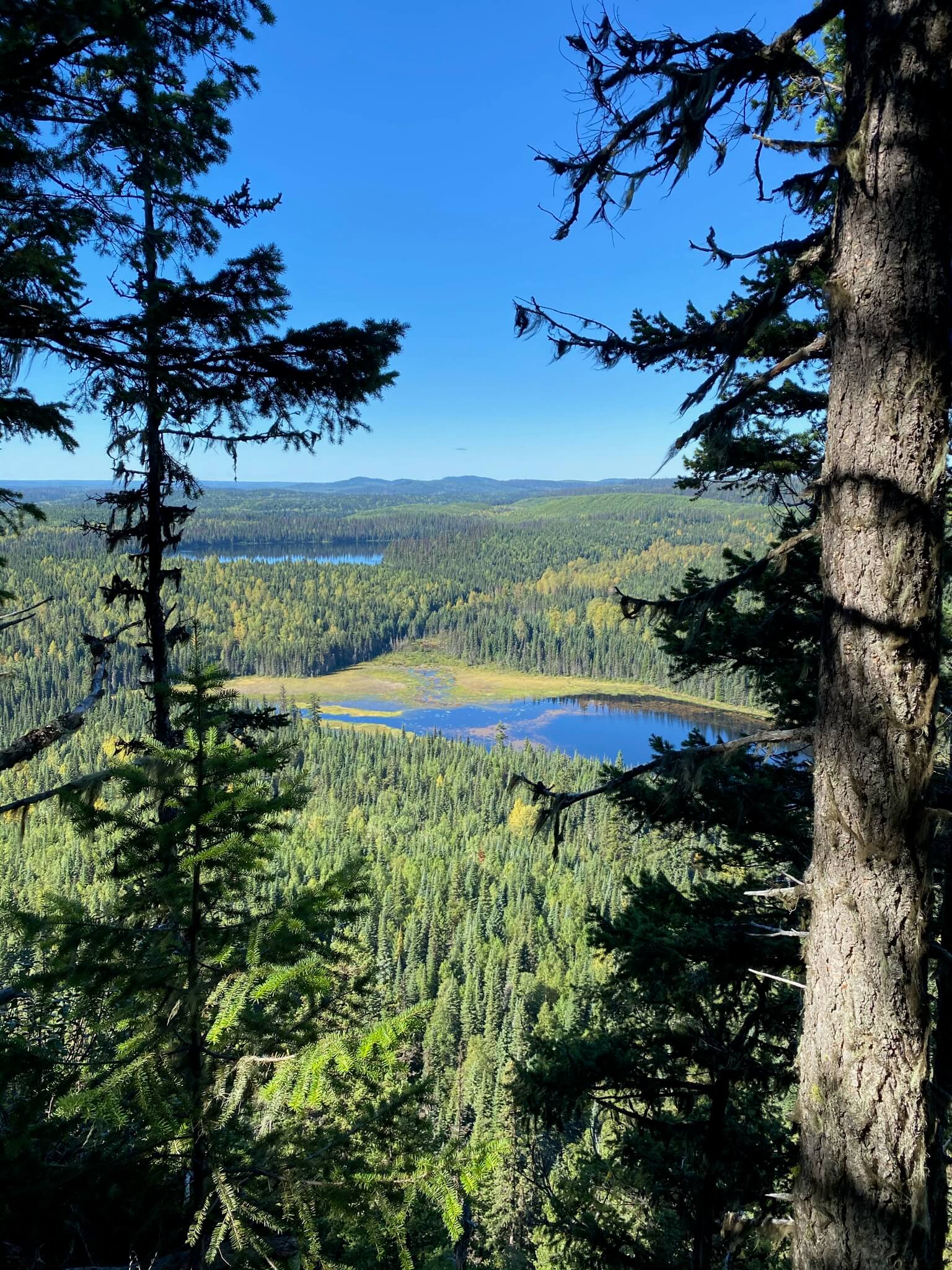
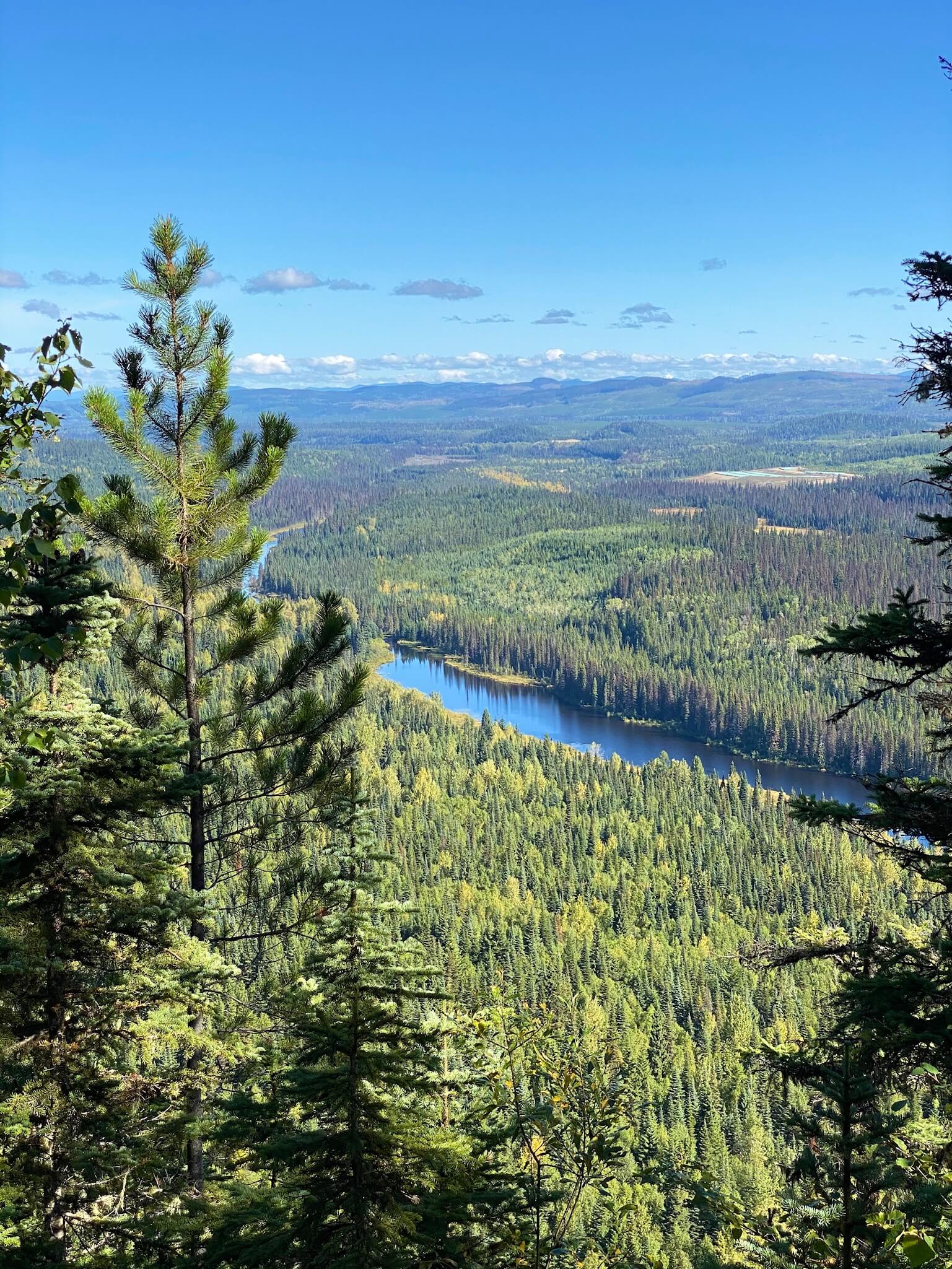
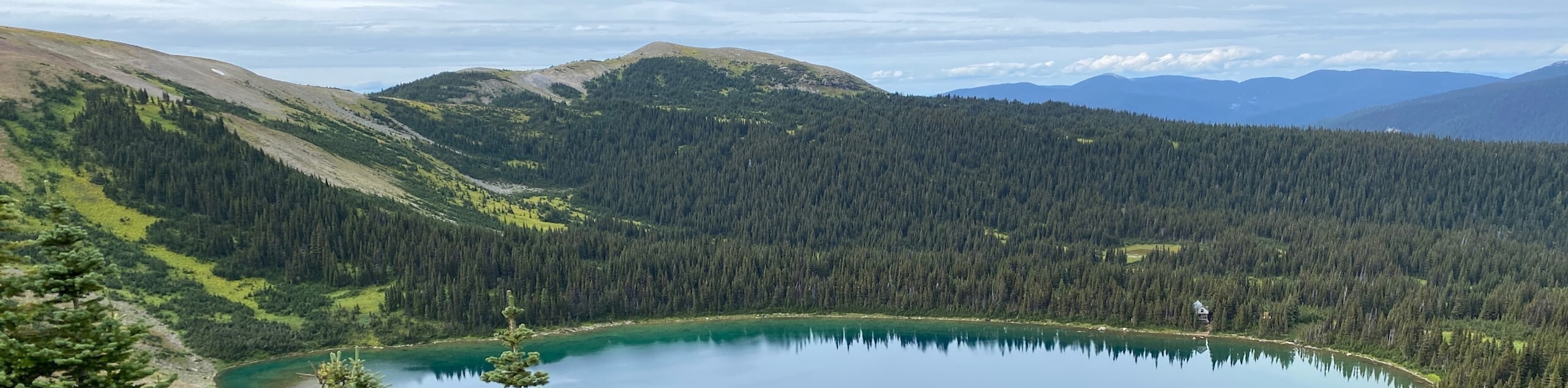
The Teapot Mountain Trail may be short, but some steep sections elevate its ranking from easy to moderate. However, the huffing and puffing comes with a remarkable reward! Revel in stunning views of Summit Lake shimmering below once you reach the top.
Getting there
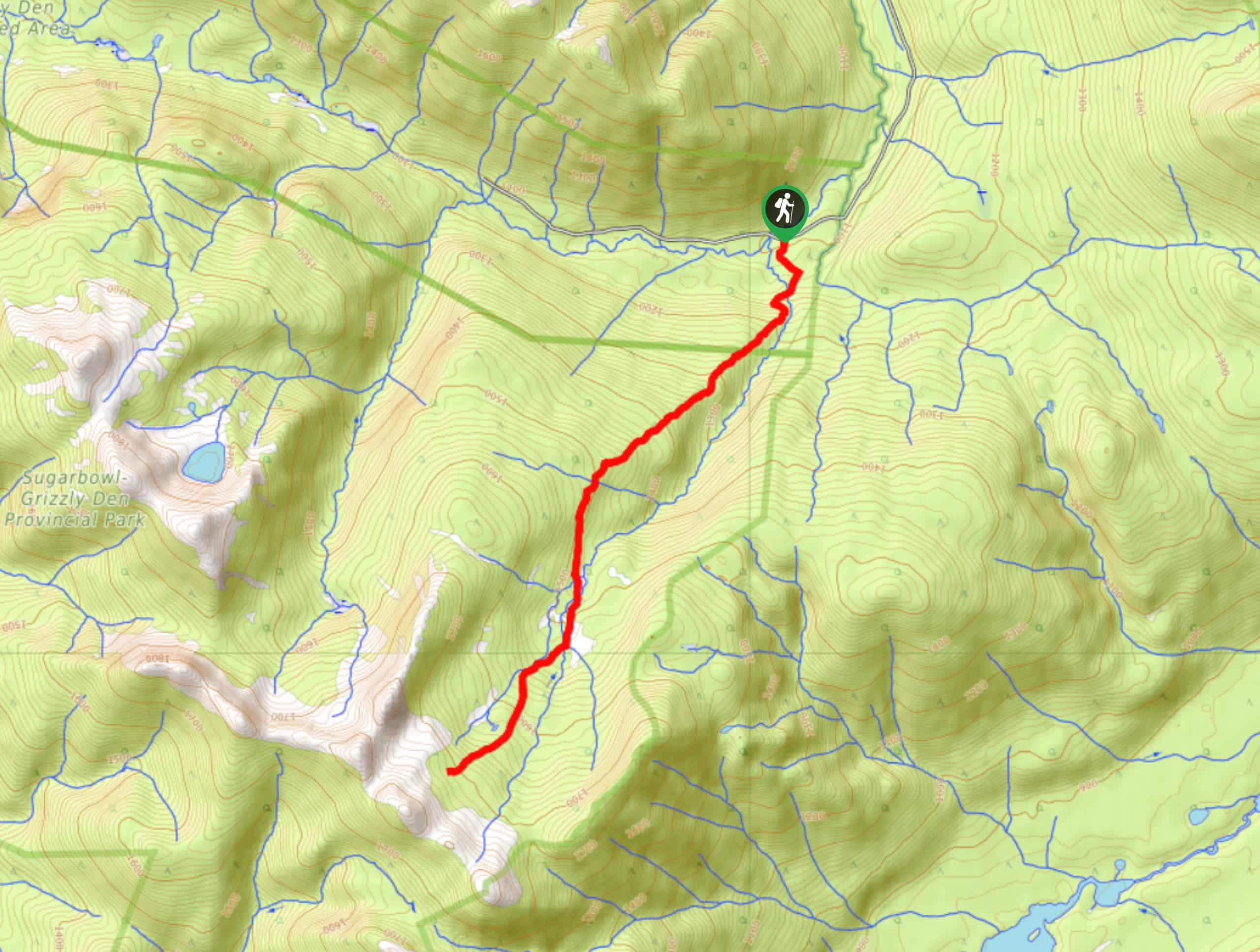
To get to the start of the Teapot Mountain Trail, head to the Teapot Mountain Recreation Site. You’ll follow the highway before reaching a gravel road!

About
| Backcountry Campground | No |
| When to do | Year-round |
| Pets allowed | Yes - On Leash |
| Family friendly | Yes |
| Route Signage | Average |
| Crowd Levels | High |
| Route Type | Out and back |
Teapot Mountain Trail
Elevation Graph
Weather
Teapot Mountain Trail Description
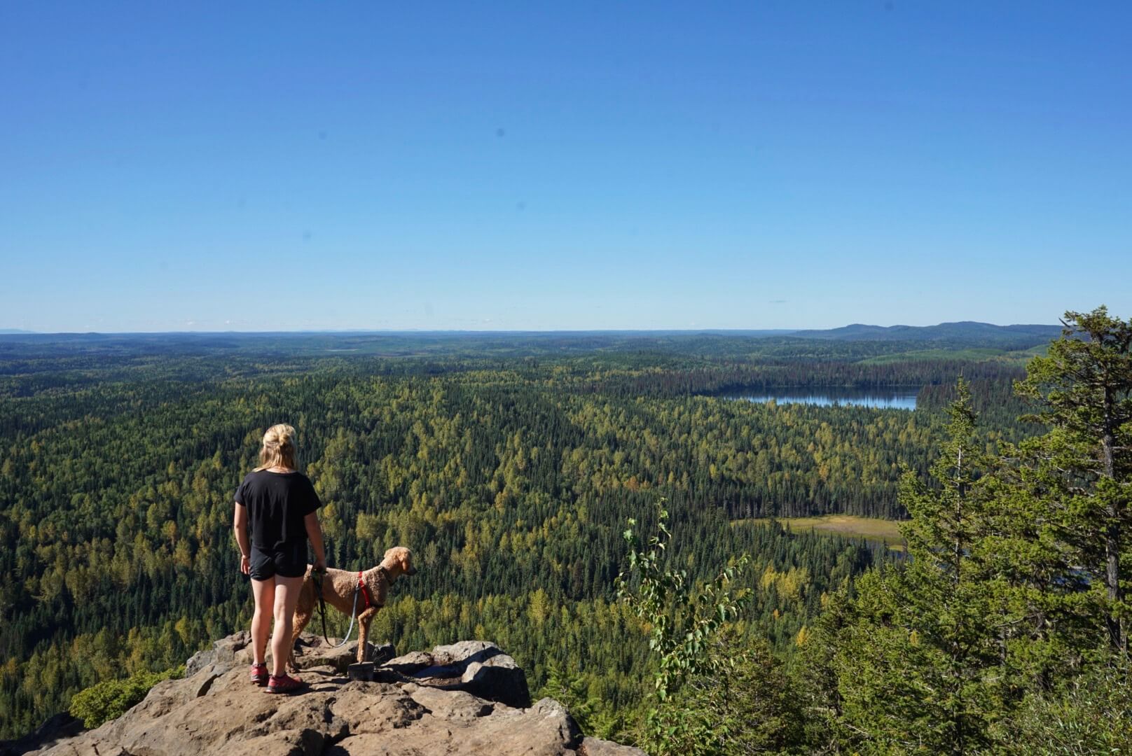
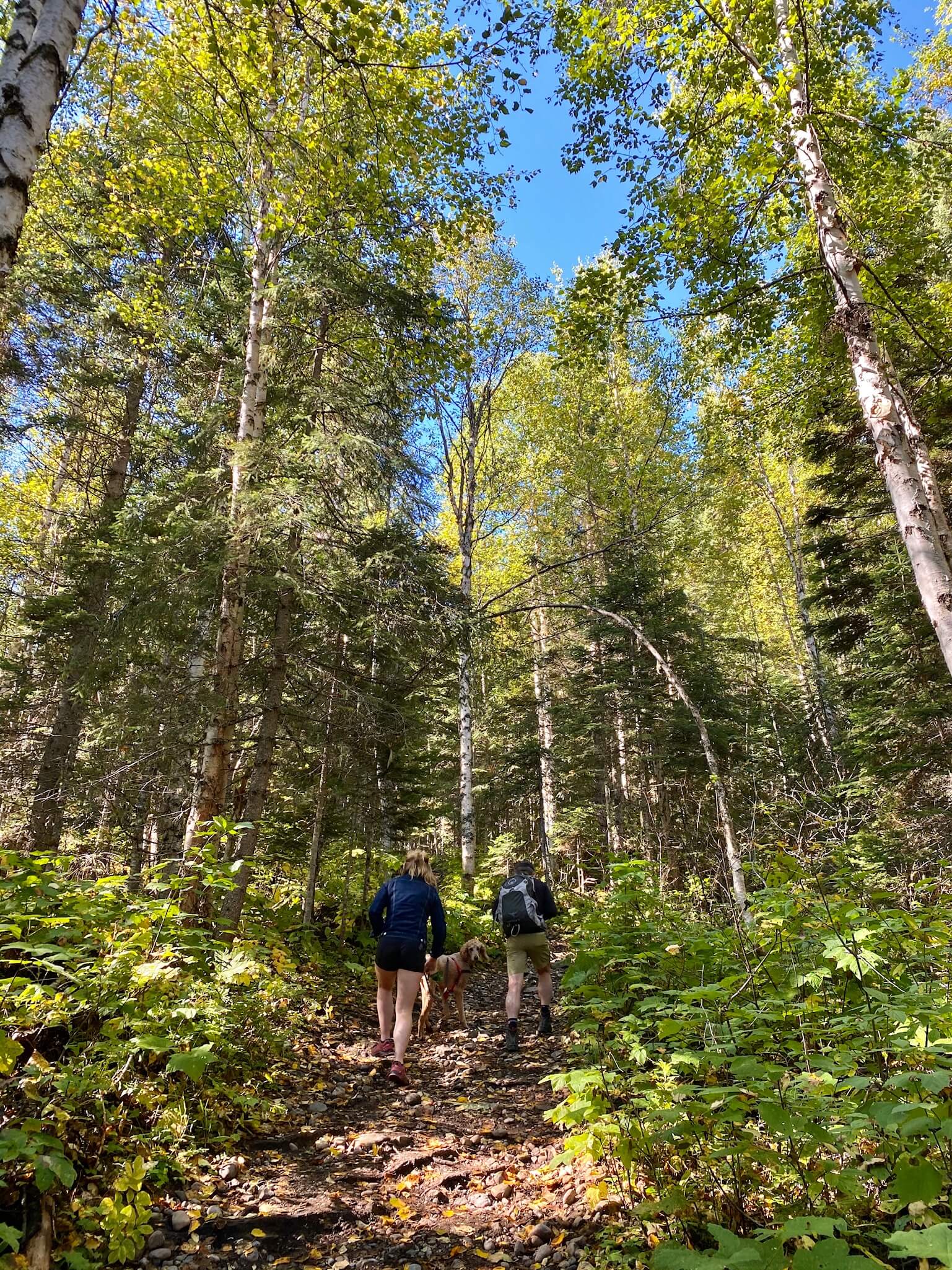
The Teapot Mountain Trail may be short but shrug this one off as easy! Tackle an easy-to-follow path as it climbs through the trees to reach a stunning viewpoint of Summit Lake at the top. Bring lots of water and a snack for the top—you’ll want to spend some time soaking in the scenery. Bring your kids and dog on this walk!
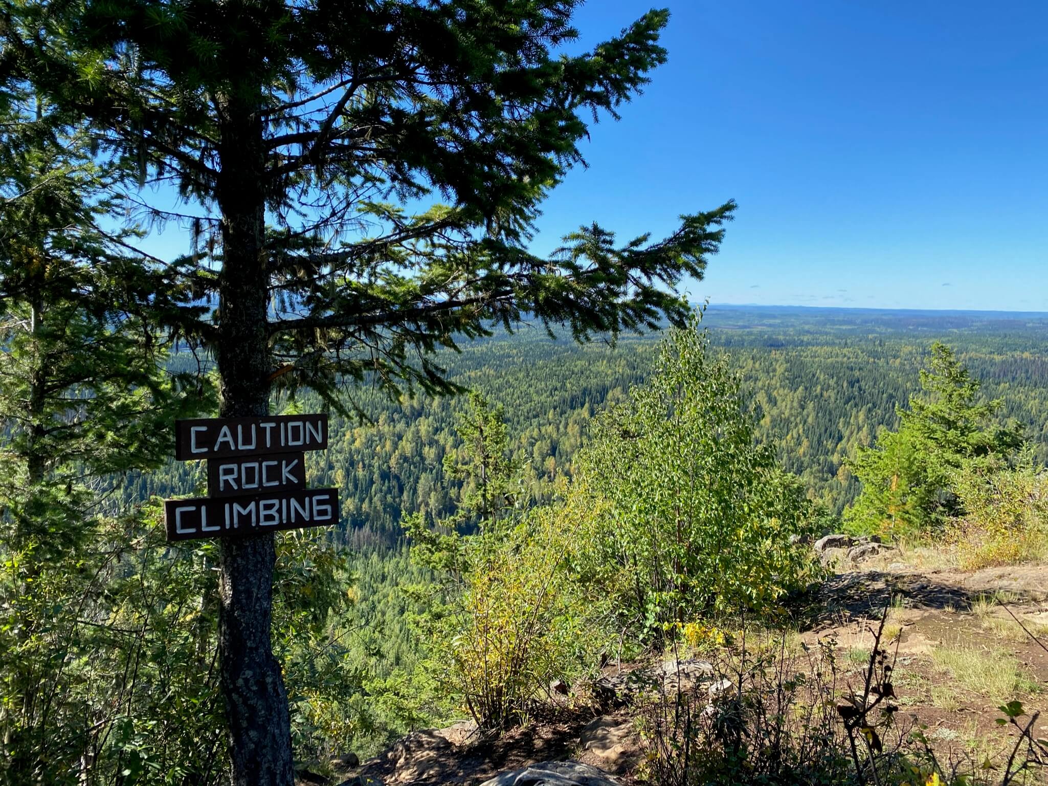
From your car, follow the path straight up the mountain! Some opt to turn this into a lollipop route by creating a loop at the top, but our route takes you there and back. Spend time basking in the scenery of the rugged landscape below before turning around and heading back the way you came.
Do note that the mosquitos can get pretty bad, making it essential to pack bug spray!
Similar hikes to the Teapot Mountain Trail hike
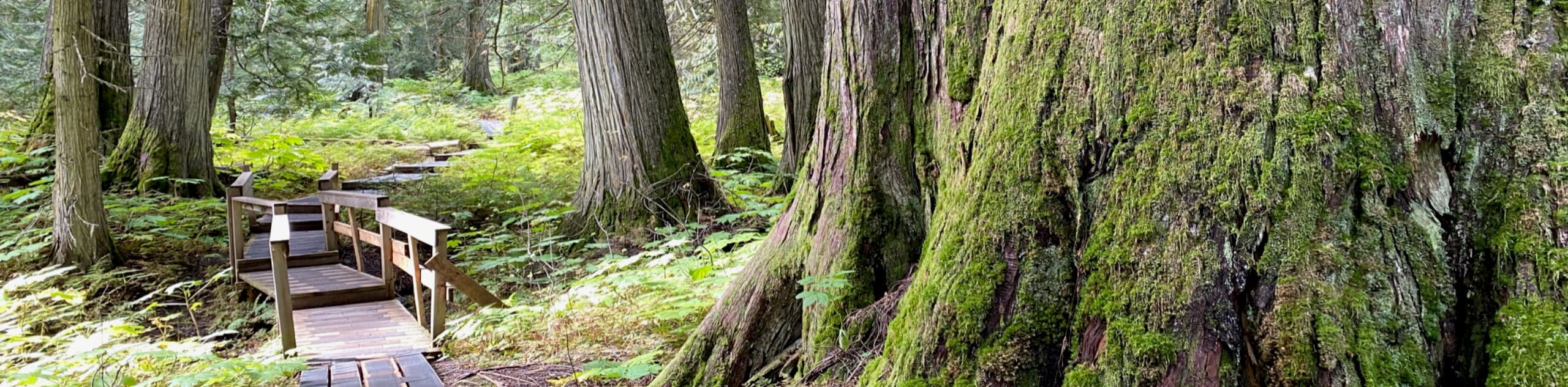
Ancient Forest Trail
The Ancient Forest Trail is a boardwalk route granting up-close views of a historic rainforest in BC's Ancient Forest/Chun T'oh…
Grizzly Den Trail
The Grizzly Den Trail immerses you in the ultimate backcountry setting, where wild, untamed scenery transports you to another world…
Raven Lake and Ridge Trail
Craving an epic hike near Prince George? Look no further than the incredible Raven Lake and Ridge Trail, which immerses…
Comments