

Tod Mountain via Altitude Trail
View PhotosTod Mountain via Altitude Trail
Difficulty Rating:
Tod Mountain via Altitude Trail is a 6.0mi lollipop hiking route at the Sun Peaks Mountain Resort that will take you through forests and across ski runs to summit the forested peak of Tod Mountain. Along the trail, you will visit the charming shores of Tod Lake, before experiencing some amazing views of the surrounding area from atop the summit. Hikers will need to either utilize the chairlift to reach the trailhead or extend their journey by hiking up the mountainside. You will be required to purchase a hiking pass to utilize the trails in this area.
Getting there
To access the trailhead for Tod Mountain via the Altitude Trail from Kamloops, make your way north for 14.6mi on BC-5 and turn right onto Old Highway 5. Turn left onto Tod Mountain Road after 656ft and continue for 14.9mi. Make a right on Sun Peaks Road and after 5.7mi you will find the parking area on the left. Once there, you can either hike up to the trailhead or take the Sun Burst Express Chairlift up the mountainside.
About
| When to do | June-October |
| Backcountry Campsites | No |
| Pets allowed | Yes |
| Family friendly | Older Children only |
| Route Signage | Average |
| Crowd Levels | Low |
| Route Type | Lollipop |
Tod Mountain via Altitude Trail
Elevation Graph
Weather
Tod Mountain via Altitude Trail Description
Hiking up Tod Mountain via the Altitude Trail is a fun and scenic way to experience the natural beauty of the Sun Peaks Mountain Resort area during the summertime. From the top of the mountain, you will have a great sightline over the surrounding forested landscape that is dissected by the lush green grass of the ski runs that run down the slopes.
Setting out from the trailhead, make your way southwest along the forested slopes while taking in the views that stretch across the valley before turning to the north on a route towards Tod Mountain. Reaching the foot of the peak, hike around its backside before working your way up to the viewpoint at the summit. After taking in the amazing views overlooking the surrounding mountains and the resort, head back down the trail and past the quaint shores of Tod Lake. Continue hiking to the southeast on a course that will lead you through alternating stretches of forest and meadows, on the way back to the chairlift where you began your journey.
Similar hikes to the Tod Mountain via Altitude Trail hike

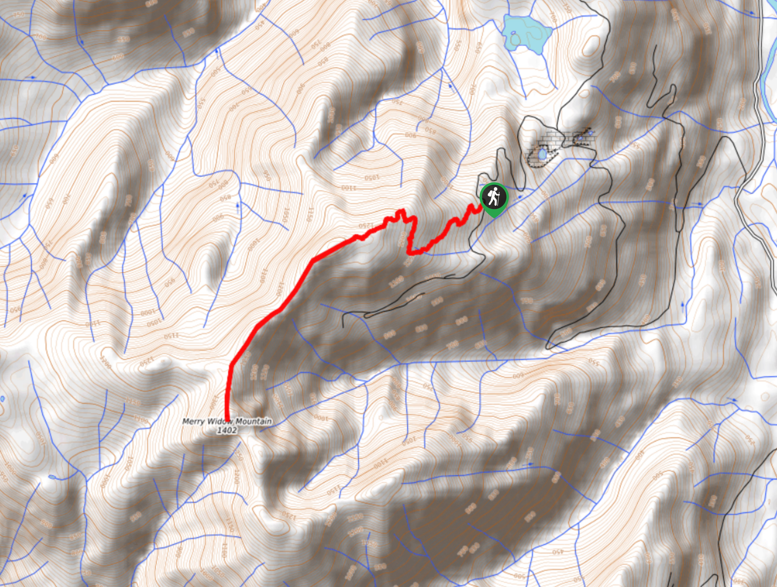
Merry Widow Ridge
The Merry Widow Ridge Trail is a 4.3mi out-and-back hiking route on the northern end of Vancouver Island…

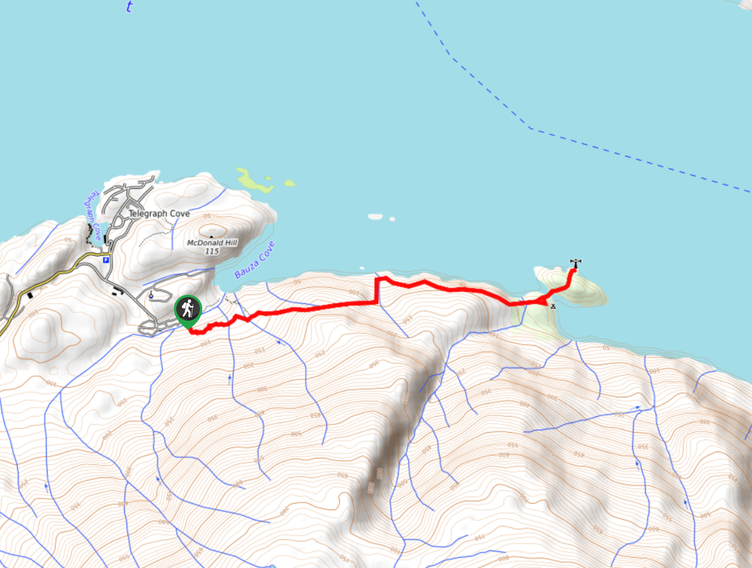
Dave Farrant Trail to Blinkhorn Point
The Dave Farrant Trail to Blinkhorn Point is a 47.8mi out-and-back hiking route that follows closely along the…

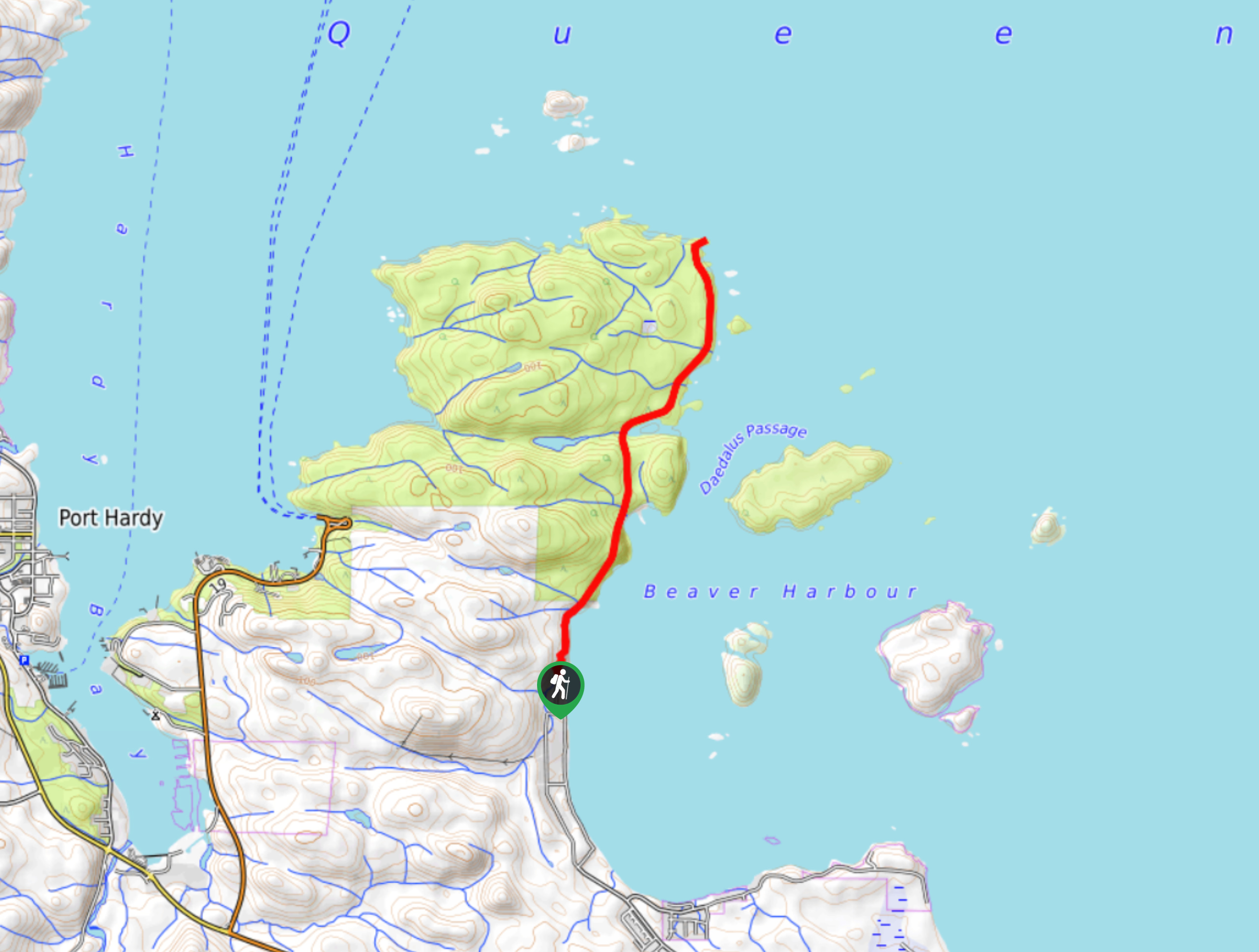
Tex Lyon Trail
The Tex Lyon Trail is a 7.9mi out-and-back hiking route near Port Hardy, BC that will allow hikers…


Comments