

Kusam Klimb Trail
View PhotosKusam Klimb Trail
Difficulty Rating:
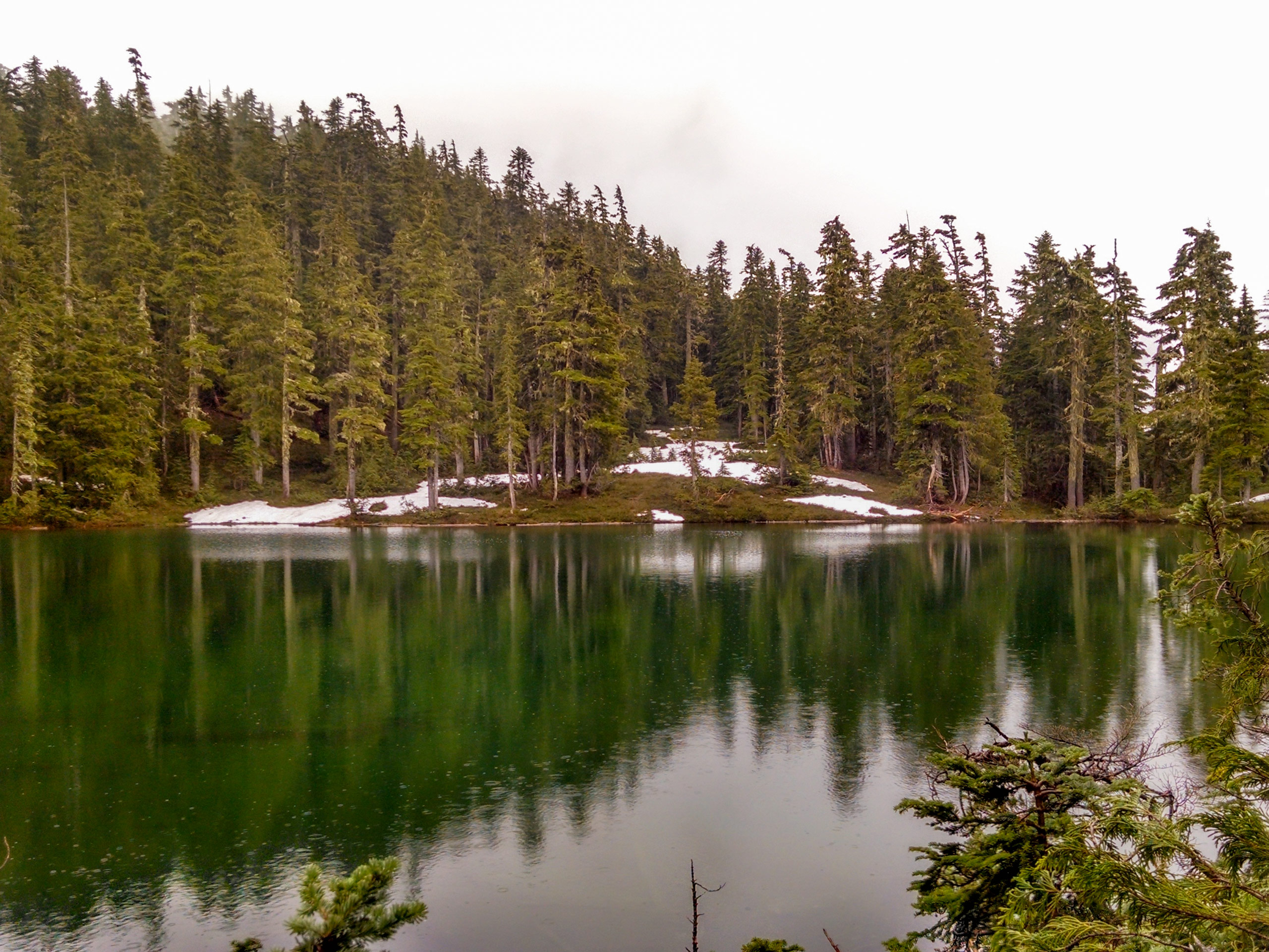
The Kusam Klimb Trail is a 13.4mi lollipop hiking route near Sayward, BC that will take you uphill through the forest to loop around the summit of H’Kusam Mountain. Along the trail, hikers will experience a good variety of terrain types that include logging roads, thick stretches of forest, and rocky trails with sections of rope to aid in your climb. With amazing views that sweep across Vancouver Island, there is no reason to put off this long, challenging, but rewarding hike.
Getting there
To reach the parking area for the Kusam Klimb Trail from Campbell River, drive northeast on BC-19 for 39.1mi and turn right onto Sayward Road. In 1.9mi, you will find the parking area on the left.
About
| When to do | March-October |
| Backcountry Campsites | No |
| Pets allowed | Yes - On Leash |
| Family friendly | No |
| Route Signage | Average |
| Crowd Levels | Moderate |
| Route Type | Lollipop |
Kusam Klimb Trail
Elevation Graph
Weather
Kusam Klimb Trail Description
While the Kusam Klimb Trail is a fantastic hiking route with some truly spectacular views, it is also a lengthy and challenging route that will see you traverse a number of different terrain types and gain a considerable amount of elevation. Hikers should make sure to pack everything that they will need for the 13.4mi journey, including proper hiking footwear and hiking poles to help lessen the impact of the long descent. Additionally, bears are often spotted in the area, so make sure to bring bear spray and make plenty of noise along the trail.
Setting out from the parking area, make your way to the northeast along the road and turn right onto Ryan Road shortly after crossing Hammersley Creek. Follow along the route as it transitions from the road to a trail through the forest. Here, the trail will begin to climb uphill as you work your way along the south side of H’Kusam Mountain and loop around its eastern slope. Continue hiking uphill along the rocky terrain to gain some nice views across the rugged landscape of the island and the Johnstone Strait to the north. After passing by the optional trail to the left that leads up to the summit of the mountain, make your descent along the Stowe Creek Watershed to end up back at Sayward Road. Follow this to the south to return to the parking area where you began your journey along the Kusam Klimb Trail.
Similar hikes to the Kusam Klimb Trail hike

Tod Mountain via Altitude Trail
Tod Mountain via Altitude Trail is a 6.0mi lollipop hiking route at the Sun Peaks Mountain Resort that…

Merry Widow Ridge
The Merry Widow Ridge Trail is a 4.3mi out-and-back hiking route on the northern end of Vancouver Island…

Dave Farrant Trail to Blinkhorn Point
The Dave Farrant Trail to Blinkhorn Point is a 47.8mi out-and-back hiking route that follows closely along the…


Comments