

Fort Rupert Trail
View PhotosFort Rupert Trail
Difficulty Rating:
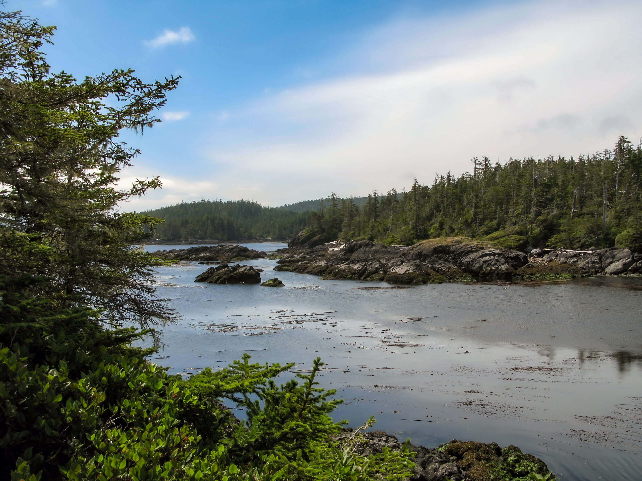
The Fort Rupert Trail is a 4.6mi out-and-back hiking route near Port Hardy on the northern tip of Vancouver Island that takes hikers through a beautiful stretch of West Coast temperate rainforest. Along the trail, you can expect a nice variety of terrain that includes gravel walkways, wooden boardwalks, and dirt trails through the lush rainforest. With dedicated trailheads at both ends of the route, hikers can choose which direction they would like to travel and where they would like to begin and end their hike.
Getting there
To reach the west trailhead for the Fort Rupert Trail from Port Hardy, head south on BC-19 for 2.6mi and turn left onto Bear Cove Highway. After 1.1mi, you will find the trailhead on the right.
About
| When to do | Year-round |
| Backcountry Campsites | Wildwoods Campsite |
| Pets allowed | Yes - On Leash |
| Family friendly | Yes |
| Route Signage | Average |
| Crowd Levels | Moderate |
| Route Type | Out and back |
Fort Rupert Trail
Elevation Graph
Weather
Fort Rupert Trail Description
The Fort Rupert Trail is a nice and easy hike near Port Hardy that will allow you to explore the natural beauty of the West Coast temperate rainforest, however, there are some things to consider before setting out on your hike. While the trail isn’t overly difficult or technical, it does feature a variety of terrain types that include gravel, boardwalks, and dirt paths. Make sure to wear proper hiking footwear, especially after a decent rainfall, as many areas can be slippery. Additionally, hikers should remember to bring bear spray and pack out any garbage while hiking. Bears are sometimes spotted on and around the trail, so make plenty of noise to avoid an encounter.
With a breathtaking rainforest setting and easy to navigate trail system, this hike is the perfect choice for hikers of every skill level to get out and enjoy the north Vancouver Island wilderness. Due to the two separate trailheads, you can customize your trip to hike in either direction and can even pair your trip with a weekend of camping at the nearby Wildwoods Campground. Along the trail, you will make your way through an amazingly atmospheric stretch of moss-covered rainforest and hike alongside the scenic waters of a small lake. If you are looking for a laid back experience, you won’t want to miss out on this awesome hike.
Setting out from the west trailhead off the Bear Cove Highway, follow the trail east as it enters into the thick cover of the forest and begins to climb gently uphill. Take some time to relax in the peaceful forest setting as you make your way along a small creek and pass by various types of vegetation including large, moss-covered cedar trees and small ferns that lay scattered across the forest floor.
After 0.9mi of hiking under the thick canopy of the forest, you will come to a scenic clearing surrounding a quaint lake. Make your way onto the wooden boardwalk and follow along as it hugs tightly to the edge of the calm, blue water. This portion of the trail will have some shingles and other abrasive materials laid onto the wood to prevent you from slipping on the wet wood, but still take your time as you meander along the edge of the water.
Reaching the end of the boardwalk, enter back into the tree cover for another 1.2mi through the thick rainforest atmosphere. You will pass by some marshy terrain as you approach the end of the trail near Beaver Harbour Road. Once there, turn back and retrace your steps through the beautiful forest and past the small lake to return to the trailhead having completed your journey along the Fort Rupert Trail.
Insider Hints
This trail features trailheads at its east and west ends, making it hikeable in either direction. Choose whichever route you prefer.
Wear decent hiking footwear, as the trail is made up of a variety of terrain including gravel, wooden boardwalks, and dirt paths.
Combining this hike with a weekend of camping at the nearby Wildwoods Campground is a great way to explore some other trails in the area.
Similar hikes to the Fort Rupert Trail hike

Tod Mountain via Altitude Trail
Tod Mountain via Altitude Trail is a 6.0mi lollipop hiking route at the Sun Peaks Mountain Resort that…

Merry Widow Ridge
The Merry Widow Ridge Trail is a 4.3mi out-and-back hiking route on the northern end of Vancouver Island…

Woss Lookout
The hike up to Woss Lookout is one of the best value hikes that you can find in northern Vancouver…


Comments