

McGillivray Lake Trail
View PhotosMcGillivray Lake Trail
Difficulty Rating:
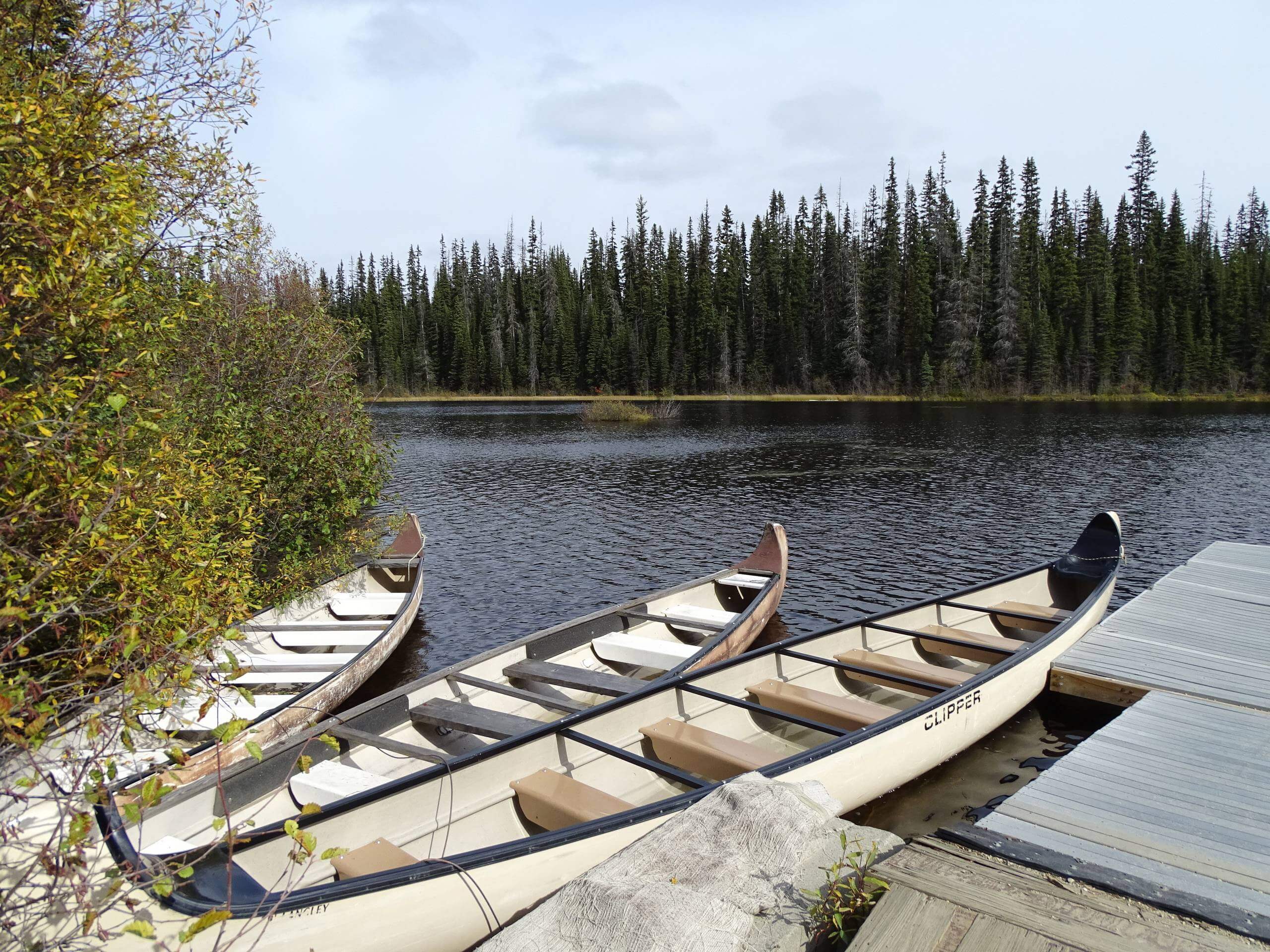
The McGillivray Lake Trail is an 5.3mi lollipop hiking route that sets out from the Sun Peaks Mountain Resort and heads through a beautiful forest to a charming woodland lake. Along the hike, you will experience a tranquil forest setting and some amazing views of the surrounding mountains. Although there are several intersecting paths, this trail is well marked from start to finish. Follow the blue markers on the way to the lake and the orange markers on the way back to avoid getting lost. You will be required to purchase a hiking pass to utilize the trails in this area.
Getting there
To reach the trailhead for the McGillivray Lake Trail from Kamloops, head north on BC-5 for 14.6mi and turn right onto Old Highway 5. After 656ft, turn left onto Tod Mountain Road and follow it for 14.9mi, turning right onto Sun Peaks Road. After 6.1mi, turn right on Village Way and follow it for 2953ft. Turn left to find the trailhead on your right side.
About
| When to do | March-October |
| Backcountry Campsites | No |
| Pets allowed | Yes |
| Family friendly | Older Children only |
| Route Signage | Average |
| Crowd Levels | Moderate |
| Route Type | Lollipop |
McGillivray Lake Trail
Elevation Graph
Weather
McGillivray Lake Trail Description
Hiking the McGillivray Lake Trail is a great way to spend a day outdoors if you find yourself in the Sun Peaks Mountain Resort Area with nothing on your schedule. The trail sets out from the resort and follows along Valley Drive before branching off on a trail to the right through the forest. As you work your way along this initial part of the trail you will pop in and out of the thick cover of the forest before entering into an amazing forest setting until you reach the lake. Once there, you will have a spectacular view across the calm waters of McGillivray Lake and can explore its wooded shores to your heart’s content. After enjoying the views, head back along the same trail through the forest and follow along the orange trail markers to take an alternate route back to the parking area.
Similar hikes to the McGillivray Lake Trail hike

Community Trail
The Community Trail is a 8.3mi point-to-point hiking route just north of Kamloops, BC, that will allow you…

Lac du Bois Tower Loop
The Lac du Bois Tower Loop is a 4.0mi hiking circuit northwest of Kamloops that will allow you…

Gibraltar Rock
The trek to Gibraltar Rock follows a 2.0mi out-and-back trail that sets out from the Paul Lake Beach…


Comments