
McConnell Lake Trail
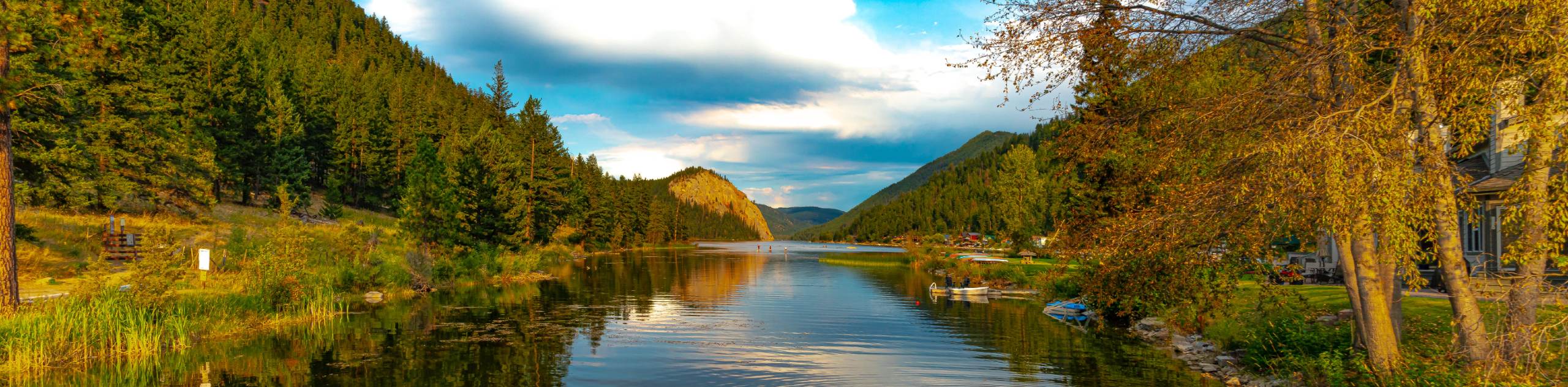
View Photos
McConnell Lake Trail
Difficulty Rating:
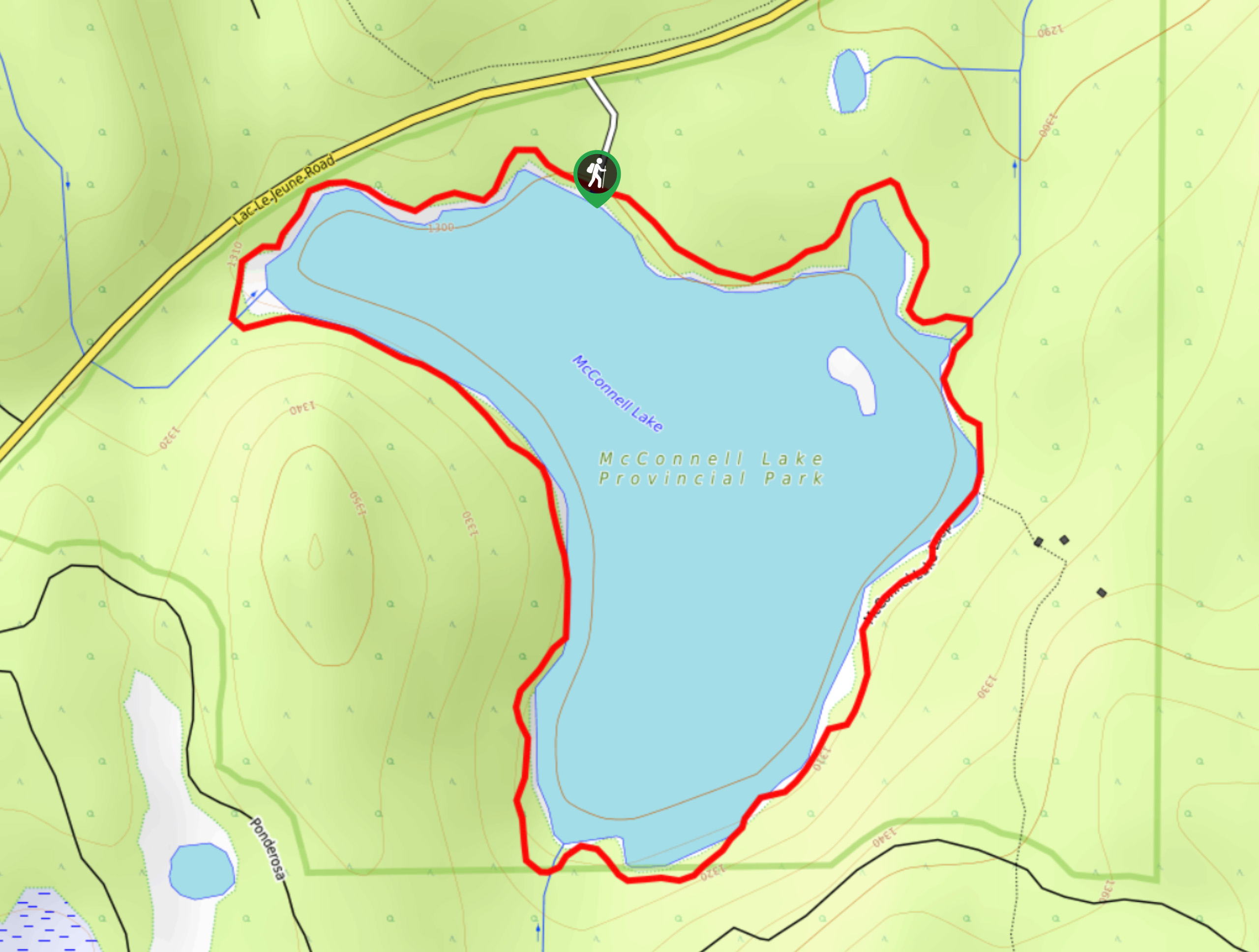
The McConnell Lake Trail is a 2.3mi hiking circuit south of Kamloops, BC, that will allow you to explore the natural beauty of the woodland landscape within McConnell Lake Provincial Park. Along the trail, you will experience a tranquil forest setting that offers some picturesque views across the calm waters of the lake. Featuring flat terrain and amazingly scenic views, this trail is a fun, family-friendly experience that will get you out enjoying the wonderful trails in the Kamloops area.
Getting there
To get to the parking area for the McConnell Lake Trail from Kamloops, drive to the southwest on BC-1 for 2.1mi and take the right exit off the highway for exit 366. Turn left on Copperhead Drive after 984ft and follow it for 623ft. Turn right on Lac Le Jeune Road, following it for 12.4mi before turning left to enter the parking area.

About
| When to do | April-October |
| Backcountry Campsites | No |
| Pets allowed | Yes |
| Family friendly | Yes |
| Route Signage | Average |
| Crowd Levels | Moderate |
| Route Type | Circuit |
McConnell Lake Trail
Elevation Graph
Weather
McConnell Lake Trail Description
While the McConnell Lake Trail is fairly flat and easily navigable for most hikers, there are stretches along the hike that feature roots and rocks that may slow travel for less-mobile hikers. For this reason, you should make sure to bring proper hiking footwear along for the hike and leave any strollers behind if you are completing the hike with young children. Additionally, due to the proximity of the trail to the water and the amount of shade along the route, it is best to bring bug repellent to protect yourself while on this hike.
Setting out from the parking area, head to the southeast along the trail and follow it as it enters into the thick of the forest. The trail meanders along the edge of the lake and will provide some intermittent views across the water through the thick cover of the trees. Enjoy the peaceful atmosphere along the trail, as you make your way along the southern edge of the lake through the woodland landscape. Roughly 1.1mi into the hike, you will cross over a small creek in the southwest corner of the loop and continue through the forest for the last leg of the journey to return to the trailhead where you began your hike.
Similar hikes to the McConnell Lake Trail hike
Community Trail
The Community Trail is a 8.3mi point-to-point hiking route just north of Kamloops, BC, that will allow you…
Lac du Bois Tower Loop
The Lac du Bois Tower Loop is a 4.0mi hiking circuit northwest of Kamloops that will allow you…
Gibraltar Rock
The trek to Gibraltar Rock follows a 2.0mi out-and-back trail that sets out from the Paul Lake Beach…
Comments