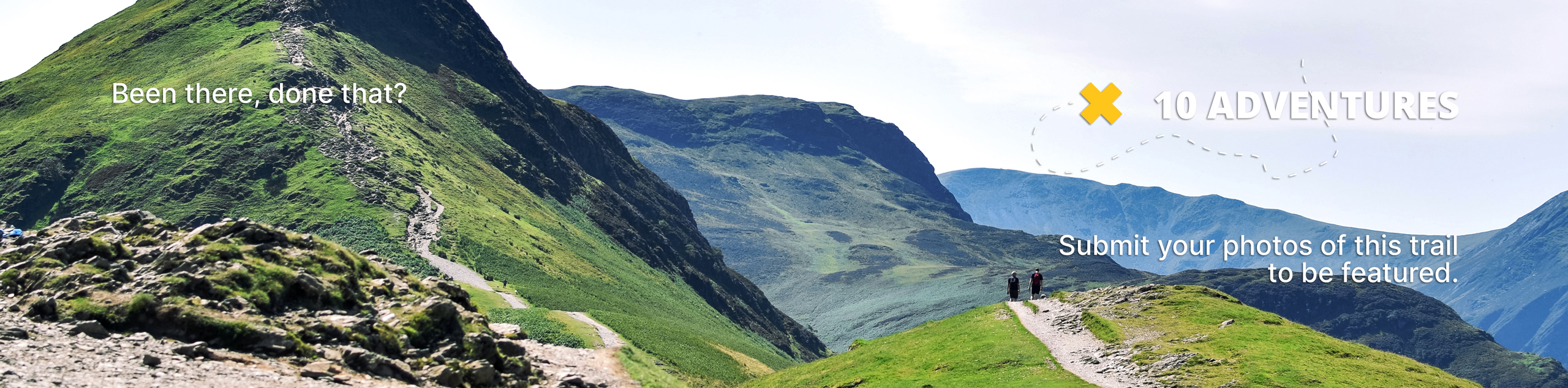
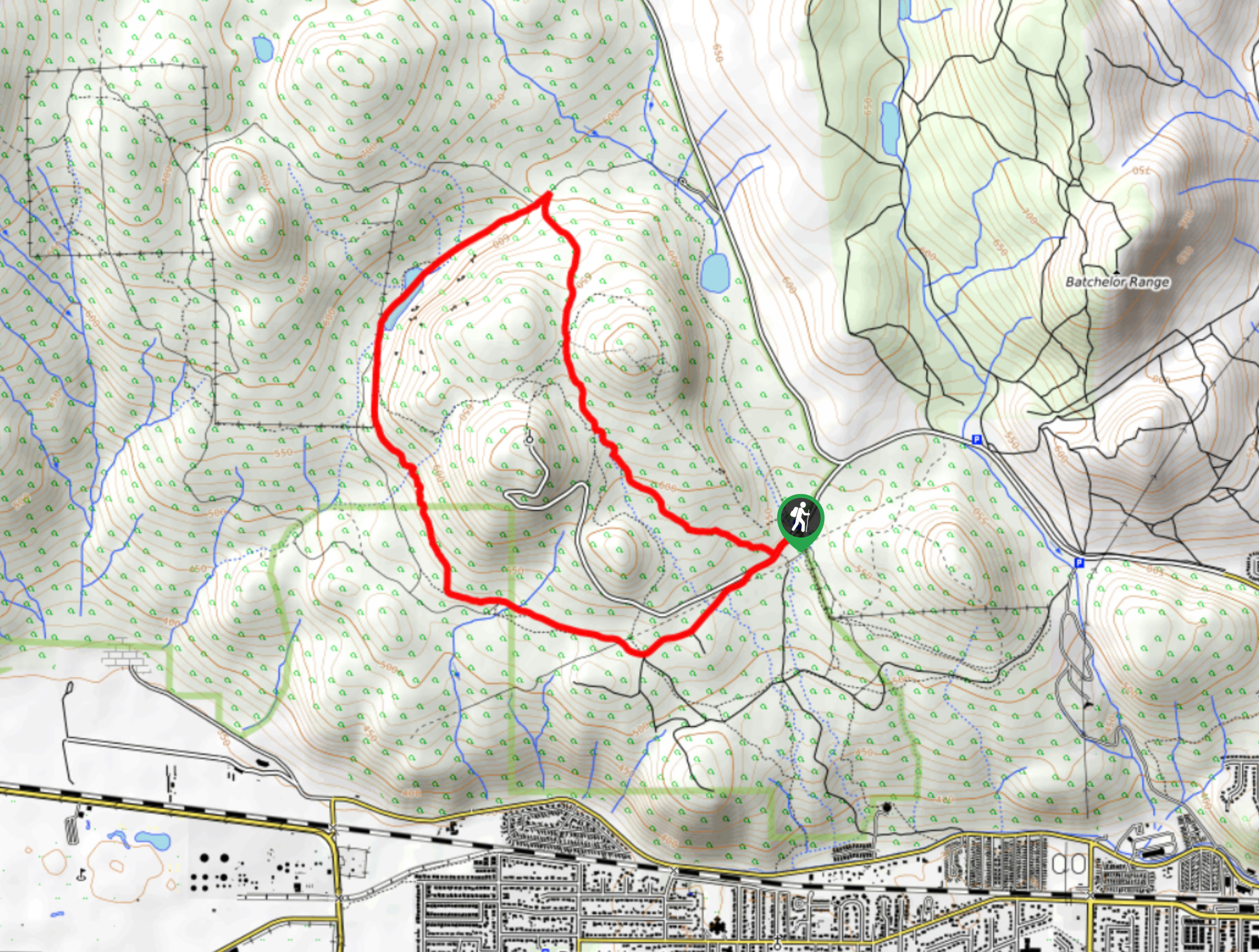
Mara Loop Trail
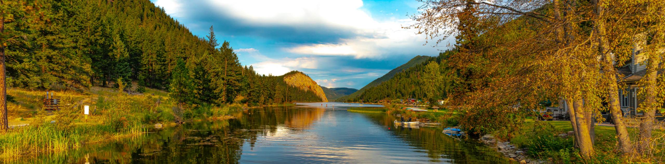
View Photos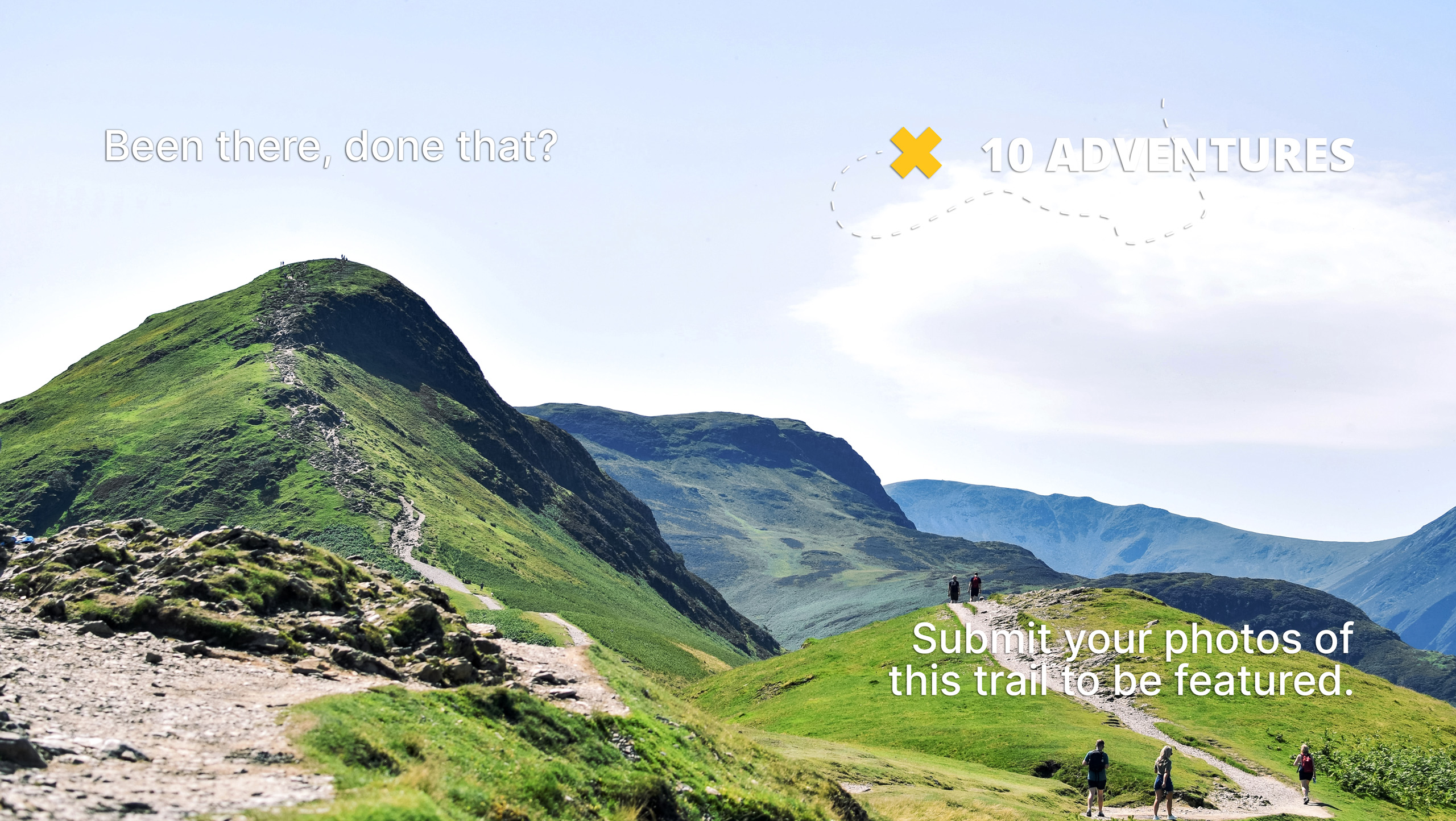
Mara Loop Trail
Difficulty Rating:
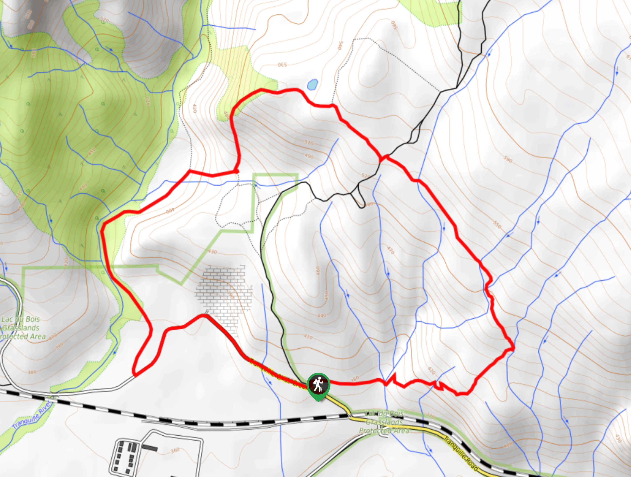
The Mara Loop Trail is a scenic hiking circuit in Kamloops, BC, that winds through the breathtaking terrain of Lac du Bois Grasslands Provincial Park. Along the trail, you will make your way up a gentle incline along the rolling green hills within the park for some amazing views overlooking the Thompson Valley. With well-maintained trails and amazing views of the surrounding landscape, this hike is a perfect option for outdoor enthusiasts of all skill levels.
Getting there
To get to the parking area for the Mara Loop Trail from Kamloops, head west for 3.0mi along Ord Road and make a left to continue on it for another 591ft. Turn right on Tranquille Road, following it for 3.4mi before turning right on Red Lake Road. In 1312ft, you will find the trailhead on the right.

About
| When to do | April-September |
| Backcountry Campsites | No |
| Pets allowed | Yes |
| Family friendly | Yes |
| Route Signage | Average |
| Crowd Levels | Low |
| Route Type | Circuit |
Mara Loop Trail
Elevation Graph
Weather
Mara Loop Trail Description
Although the Mara Loop Trail features a small amount of elevation gain, the wide paths and easy terrain make it more than accessible for the casual hiker, including families with young children. Setting out from the parking area, follow the trail east to cross over several small creeks and begin making your way uphill. As you gain elevation along the rolling landscape, you will begin to get a better sightline that sweeps across the breathtaking terrain of the Thompson Valley. Continue along the trail as it turns to the west, providing some amazing views of the hilly terrain and Kamloops Lake below. Reaching the northwest corner of the loop, you will begin your descent along the Tranquille River on a route that will link you back up with the road. Follow this to return back to the trailhead where you started your journey.
Similar hikes to the Mara Loop Trail hike
Community Trail
The Community Trail is a 8.3mi point-to-point hiking route just north of Kamloops, BC, that will allow you…
Lac du Bois Tower Loop
The Lac du Bois Tower Loop is a 4.0mi hiking circuit northwest of Kamloops that will allow you…
Gibraltar Rock
The trek to Gibraltar Rock follows a 2.0mi out-and-back trail that sets out from the Paul Lake Beach…
Comments