Gibraltar Rock via Bluff Trail
View Photos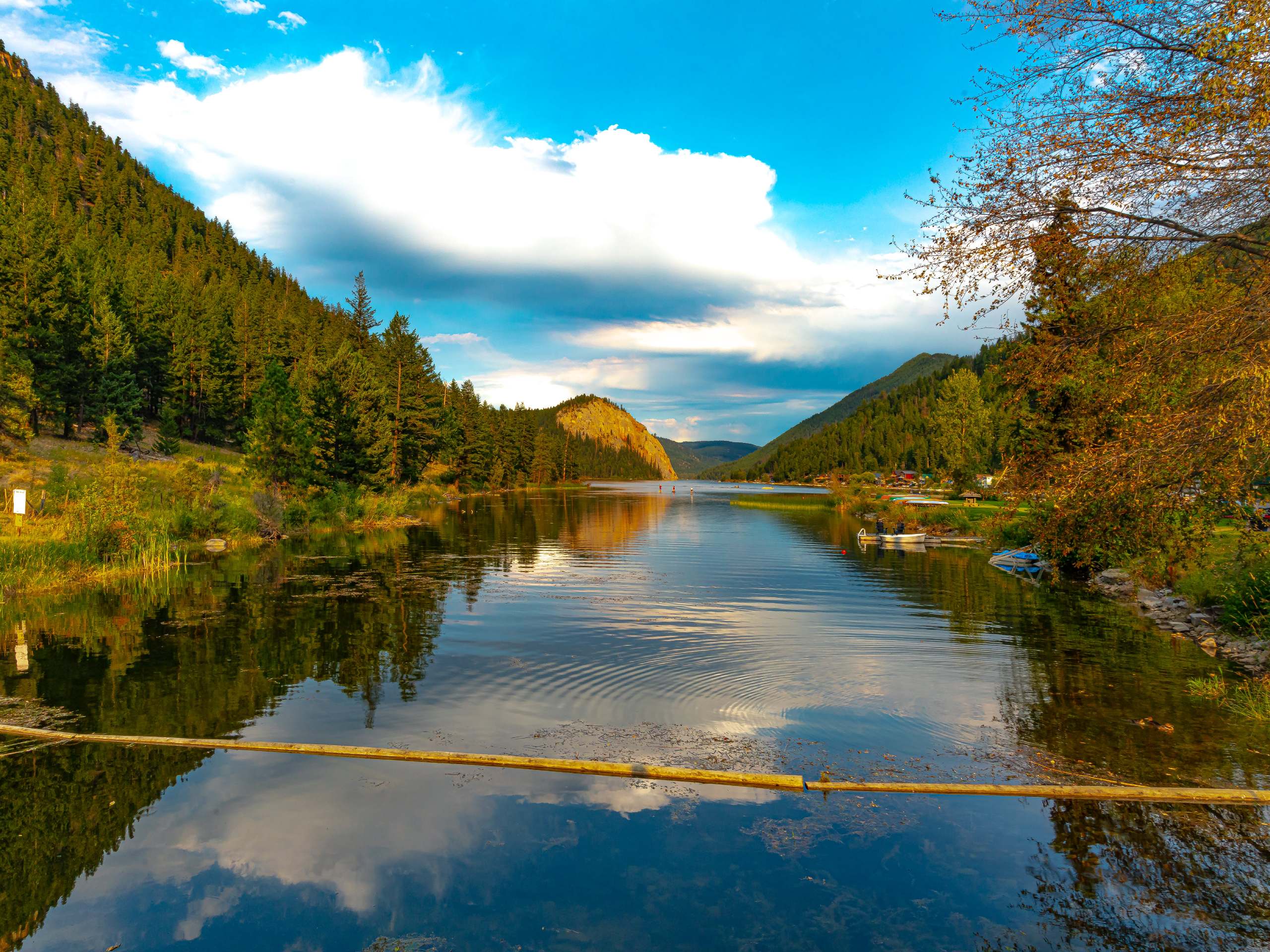
Gibraltar Rock via Bluff Trail
Difficulty Rating:
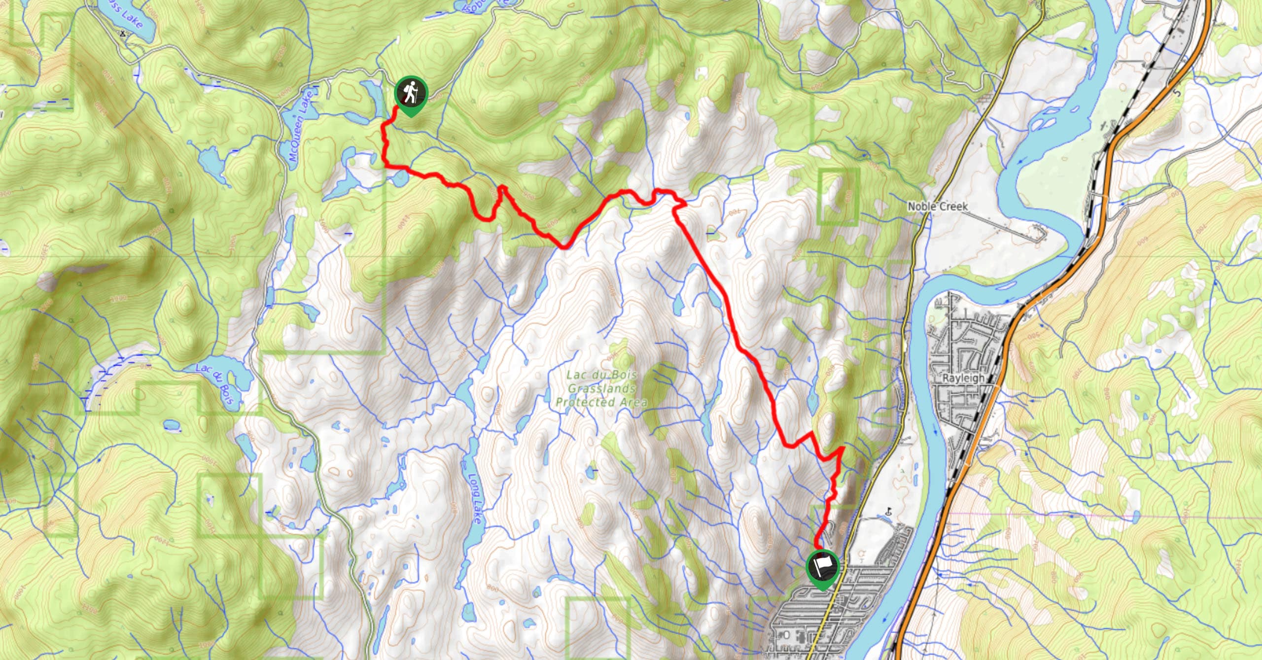
Hiking to Gibraltar Rock via the Bluff Trail follows a 2.5mi out-and-back trail that sets out from the Paul Lake Campground and climbs uphill to a scenic lookout point with views of the surrounding area. Along the trail, hikers will gradually work their way through the thick forest canopy before making the short but steep climb up to the rocky Bluff for an amazing sightline over Paul Lake. Remember to bring bear spray and make plenty of noise along the trail, as bears are often seen on and around the trail.
Getting there
To reach the parking area for the Gibraltar Rock via Bluff Trail from Kamloops, drive north for 3.0mi along BC-5 and make a right turn onto Paul Lake Road, following it for 7.4mi. Continue straight onto Pinantan Pritchard Road for 3.8mi and turn right. After 1312ft, make another right turn followed by a quick left. In 2461ft, you will find the trailhead on the left.

About
| When to do | April-October |
| Backcountry Campsites | Paul Lake Campground |
| Pets allowed | Yes - On Leash |
| Family friendly | Yes |
| Route Signage | Average |
| Crowd Levels | Moderate |
| Route Type | Out and back |
Gibraltar Rock via Bluff Trail
Elevation Graph
Weather
Gibraltar Rock via Bluff Trail Description
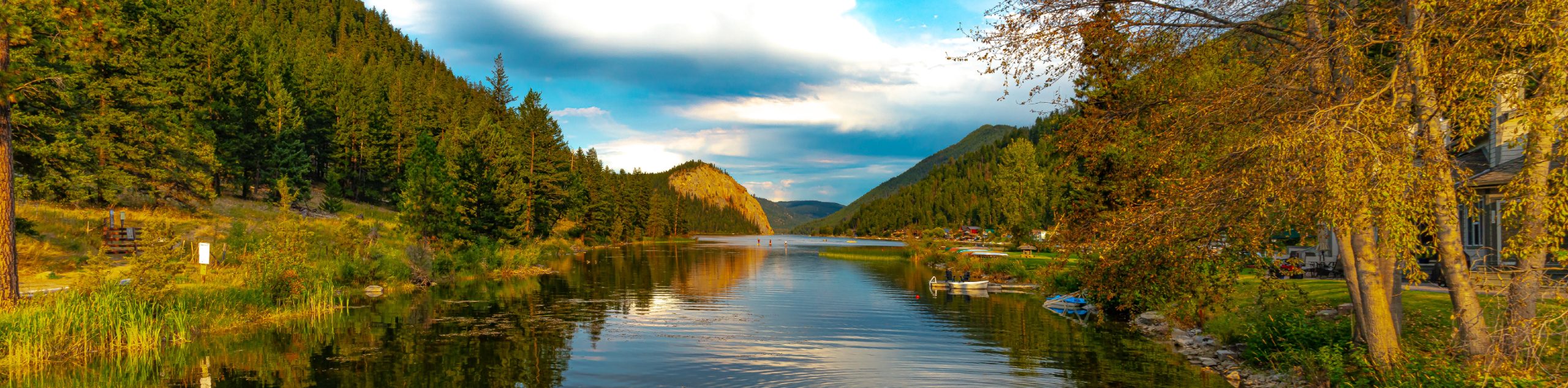
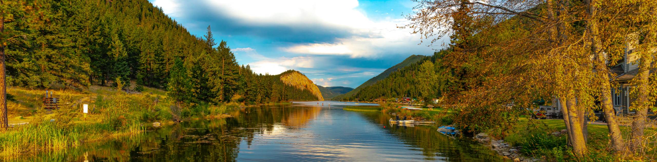
The trek to Gibraltar Rock via the Bluff Trail is a short but fun adventure in Paul Lake Provincial Park that will take you up to the summit of this distinctive rock formation for some awesome views of the surrounding woodland landscape. With its close proximity to two campsites, this trail is the perfect accompaniment to a weekend of camping in the area.
Setting out from the Paul Lake Campground, follow the trail to the southwest as it enters into the thick cover of the forest. Take some time to enjoy the serene atmosphere of the woodland setting as you meander along the shaded paths towards the rocky outcrop of Gibraltar Rock. Reaching the foot of the hill, the trail will turn to the south and cross over two small streams before beginning the short but steep uphill climb to the vantage point. When you arrive at the top of the hill, you will be greeted by some amazing views looking out across the waters of Paul Lake nestled within the woodland landscape. After taking in the views, retrace your steps through the forest to return to the trailhead at the campground.
Similar hikes to the Gibraltar Rock via Bluff Trail hike
Community Trail
The Community Trail is a 8.3mi point-to-point hiking route just north of Kamloops, BC, that will allow you…
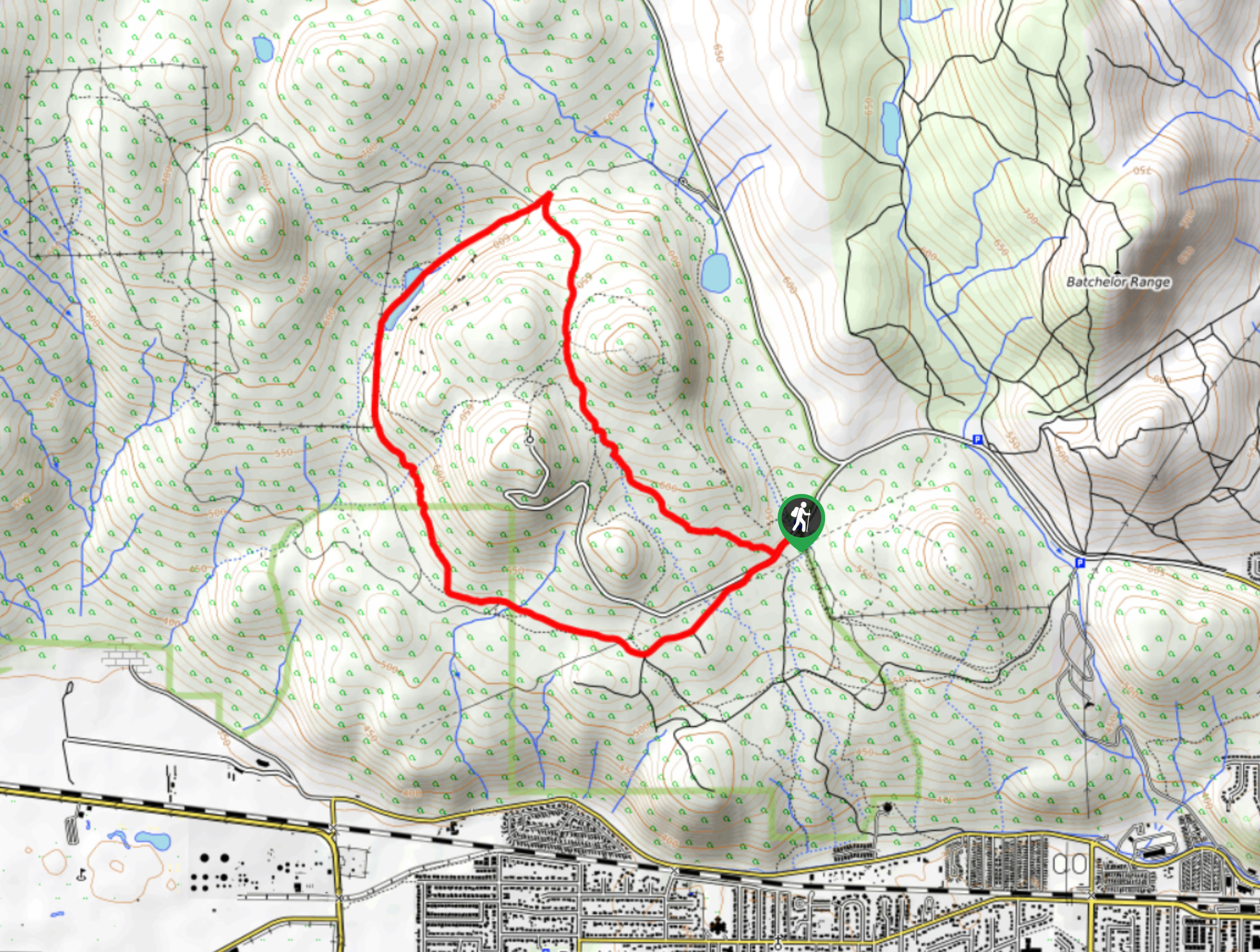
Lac du Bois Tower Loop
The Lac du Bois Tower Loop is a 4.0mi hiking circuit northwest of Kamloops that will allow you…
Gibraltar Rock
The trek to Gibraltar Rock follows a 2.0mi out-and-back trail that sets out from the Paul Lake Beach…
Comments