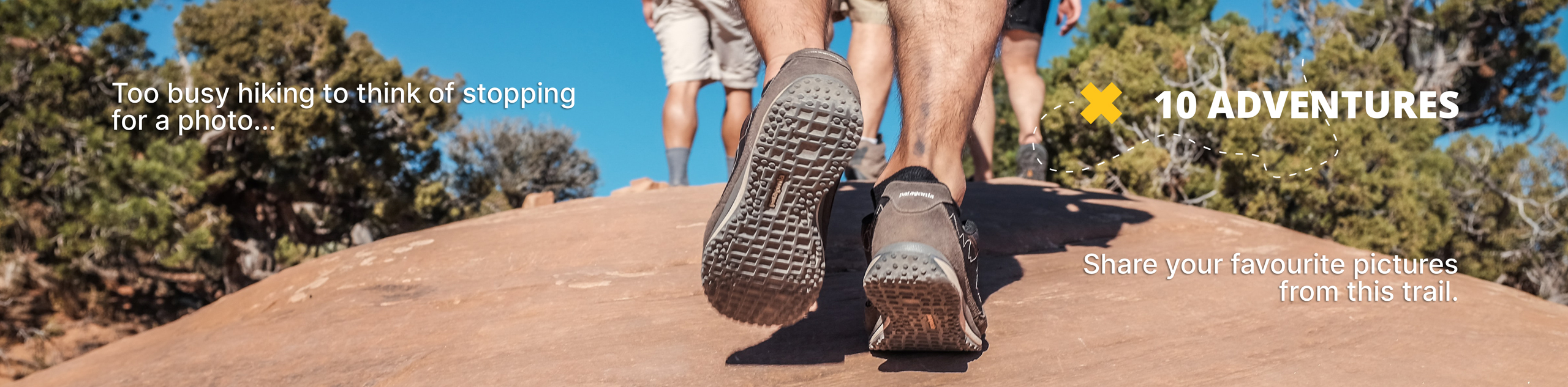
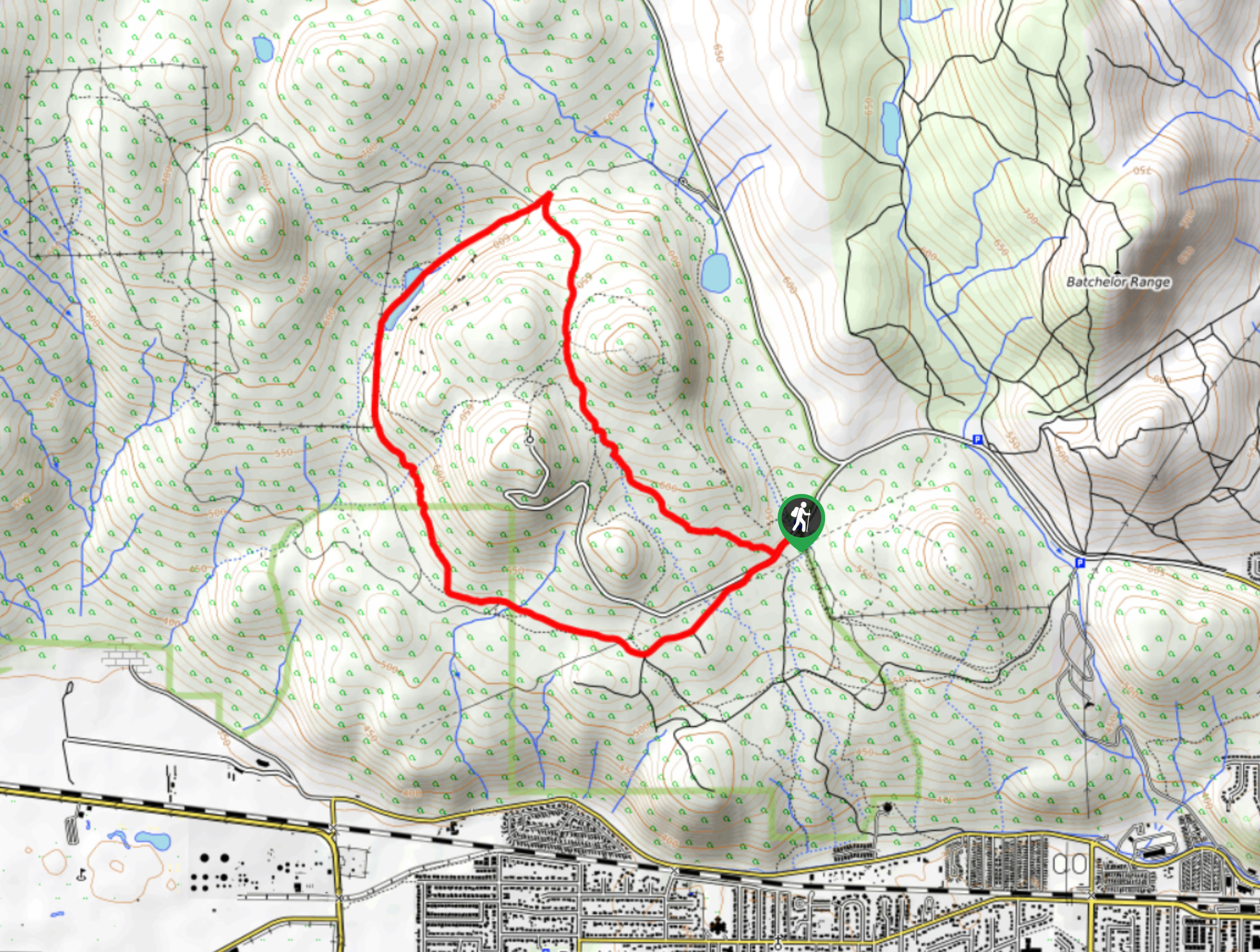
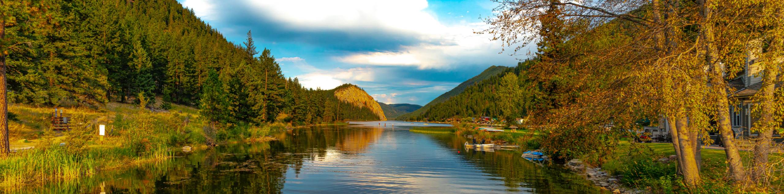
Deep Lake Hike
View Photos
Deep Lake Hike
Difficulty Rating:
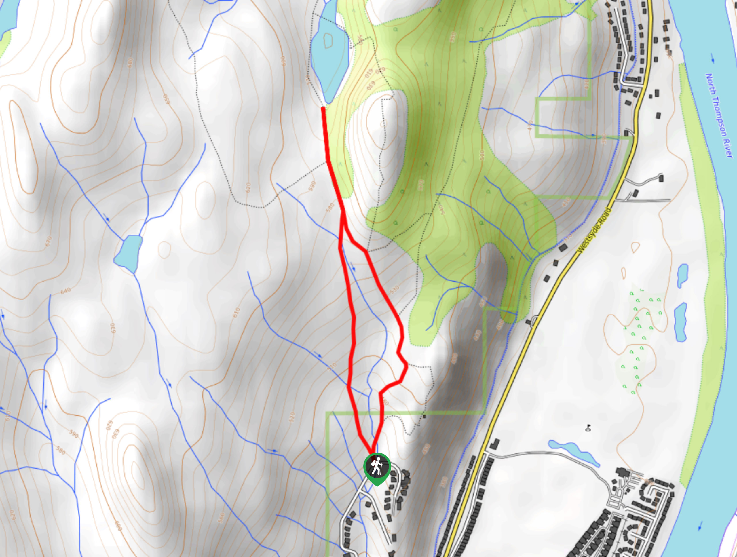
The Deep Lake Hike is a 2.1mi hiking circuit in Kamloops, BC, that will take you through the grassland terrain to a small hillside lake. Along the trail, you will have some amazing views looking over the city and surrounding mountains, and of course the picturesque lake that is framed by the green grass and blue sky above. While the trail is fairly easy overall, the initial stretch is quite steep and may limit mobility for some hikers.
Getting there
To reach the trailhead for the Deep Lake Hike from Kamloops, head north on 8th Street for 0.8mi and turn right onto Westsyde Road. After 4.8mi, turn left onto Ida lane and follow it for 1km to reach the trailhead.

About
| When to do | April-October |
| Backcountry Campsites | No |
| Pets allowed | Yes - On Leash |
| Family friendly | Older Children only |
| Route Signage | Average |
| Crowd Levels | Moderate |
| Route Type | Lollipop |
Deep Lake Hike
Elevation Graph
Weather
Deep Lake Hike Description
Hiking to Deep Lake is a fun adventure in the Kamloops area that will easily fill up an afternoon and allow you to experience the beautiful scenery that the area has to offer. Setting out from the trailhead, make your way north and up the steep initial slope of the route before it begins to level out a bit on the approach to the lake. As you hike through the beautiful grassland terrain, you can look back to the south for some nice views overlooking Kamloops. Once you have arrived at the edge of the lake, take in the amazingly scenic views of the rolling grasslands and blue skies above before turning back for the return journey. At the fork, go right for an alternate route to the trailhead that runs along the creek.
Similar hikes to the Deep Lake Hike hike
Community Trail
The Community Trail is a 8.3mi point-to-point hiking route just north of Kamloops, BC, that will allow you…
Lac du Bois Tower Loop
The Lac du Bois Tower Loop is a 4.0mi hiking circuit northwest of Kamloops that will allow you…
Gibraltar Rock
The trek to Gibraltar Rock follows a 2.0mi out-and-back trail that sets out from the Paul Lake Beach…
Comments