Community Trail
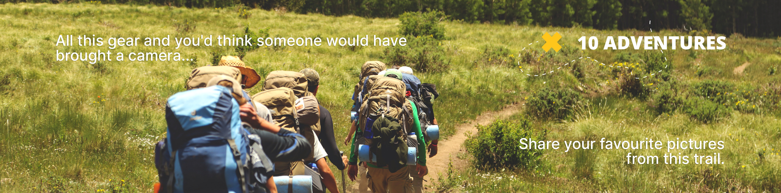
View Photos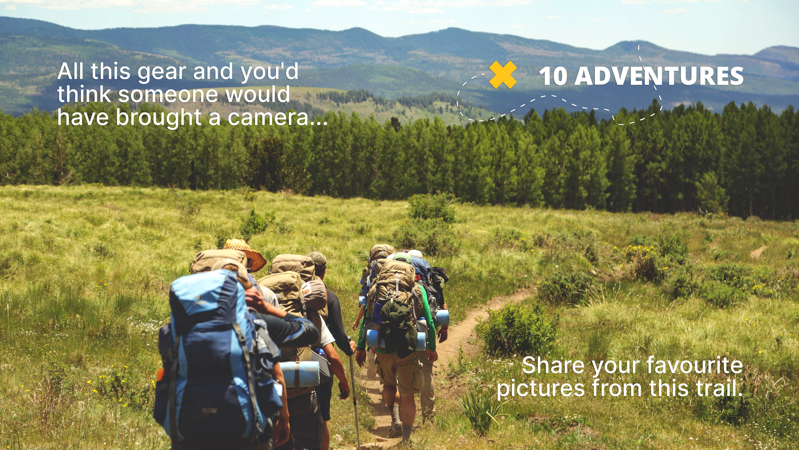
Community Trail
Difficulty Rating:
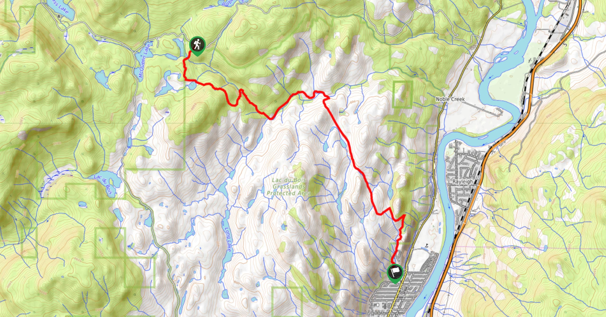
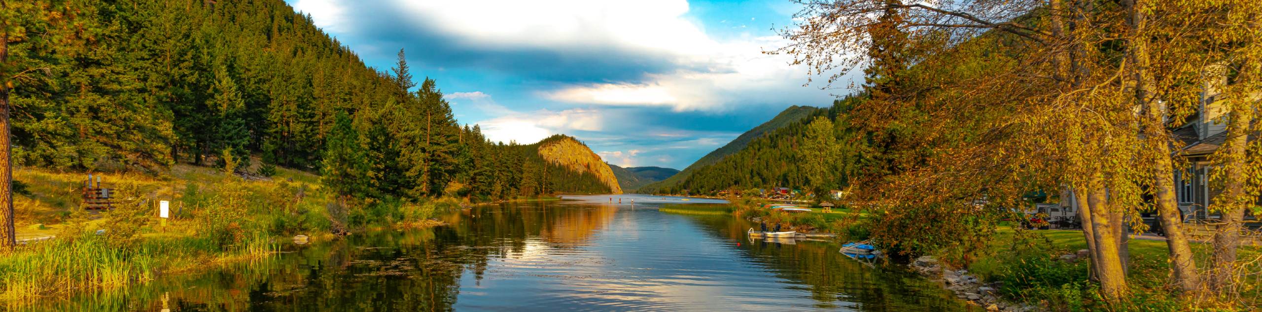
The Community Trail is a 8.3mi point-to-point hiking route just north of Kamloops, BC, that will allow you to experience the varied terrain and natural beauty of Lac du Bois Grasslands Provincial Park. Along the trail, you will traverse rolling grassland hills, hike past charming lakes, and make your way through the beautifully scenic forests that make up this gorgeous park. While this route description is for a one-way hike, you are more than able to complete the trail as a 16.7mi out-and-back if you feel up for a long-distance challenge.
Getting there
To access the trailhead for the Community Trail from Kamloops, head north for 0.9mi on 8th Street and continue on as it transitions to Batchelor Hills Drive. Follow this for 1.7mi and continue straight on Lac du Bois Road. After 8.6mi, turn right and continue for 1.4mi to find the trailhead on the right.

About
| When to do | April-September |
| Backcountry Campsites | No |
| Pets allowed | Yes |
| Family friendly | Older Children only |
| Route Signage | Average |
| Crowd Levels | Moderate |
| Route Type | One Way |
Community Trail
Elevation Graph
Weather
Community Trail Description
While the Community Trail is described as moderate in difficulty, this is largely due to its longer overall length as opposed to any real challenge along the trail. Hikers looking to complete a shorter out-and-back from the beginning of the route will find a pleasant hike that can be completed by hikers of most skill levels. The route sets out from the trailhead and initially passes through a beautifully scenic stretch of forest before passing by several picturesque lakes and heading into the open grassland. Here, you will descend down the hillside and cross over several bridges that span small creeks. Continue through the wide open grassland terrain, as you descend further downhill to eventually arrive at the end point of the hike. Remember to arrange a pick up, otherwise you will be hiking the 8.3mi back to the trailhead where you left your vehicle!
Similar hikes to the Community Trail hike
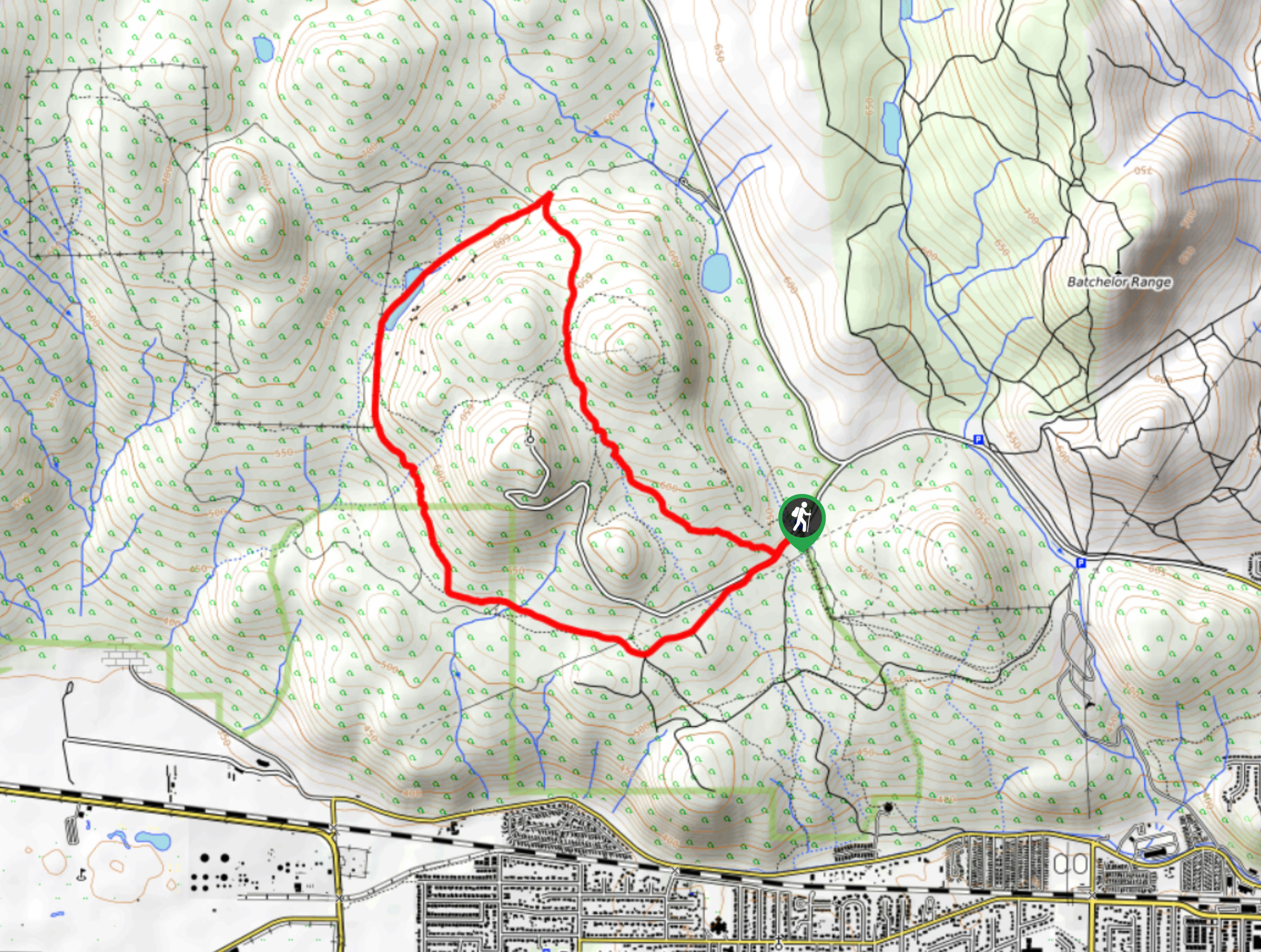
Lac du Bois Tower Loop
The Lac du Bois Tower Loop is a 4.0mi hiking circuit northwest of Kamloops that will allow you…
Gibraltar Rock
The trek to Gibraltar Rock follows a 2.0mi out-and-back trail that sets out from the Paul Lake Beach…
Raft Peak Trail
The Raft Peak Trail is a 4.0mi out-and-back hiking route northeast of Clearwater, BC, that will take you…
Comments