

Armour Mountain Trail
View PhotosArmour Mountain Trail
Difficulty Rating:
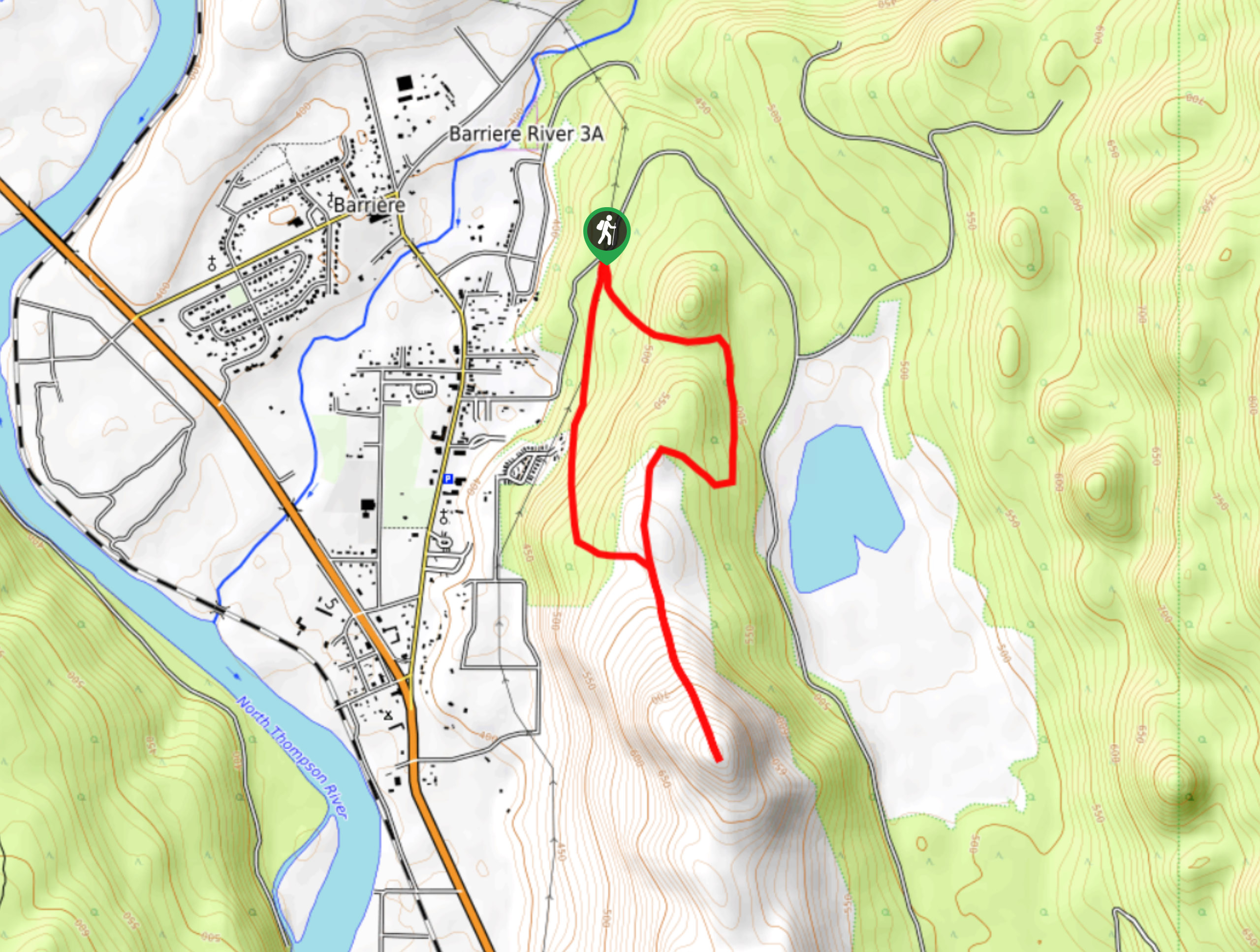
The Armour Mountain Trail is a 3.9mi lollipop hiking route that will take you into the hills above Barrier for an amazing view of the town and the surrounding valley landscape. This trail largely follows an old ATV path that is well-maintained, making for a pleasant uphill hike to the summit of the mountain. Remember to bring bear spray and make plenty of noise while on the trail, as bears are often seen in the area.
Getting there
To get to the trailhead for the Armour Mountain Trail from Barriere, head east on Dixon Creek Road for 0.6mi and you will find the parking area on the right.
About
| When to do | May-October |
| Backcountry Campsites | No |
| Pets allowed | Yes - On Leash |
| Family friendly | Older Children only |
| Route Signage | Average |
| Crowd Levels | Low |
| Route Type | Lollipop |
Armour Mountain Trail
Elevation Graph
Weather
Armour Mountain Trail Description
Hiking the Armour Mountain Trail is a great half-day hiking option that will take you to the summit of this small mountain for some amazing views over the surrounding landscape. The trail sets out from the side of the road and makes its way up the ATV track to the south before meeting up with a junction. Take the path to the left and continue along the gradual climb through stretches of beautiful forest and exposed hillside. When you reach another junction in the trail, keep left to begin the steeper portion of the hike towards the summit. Once there, you will have an amazing view looking over the town of Barriere and the surrounding rolling hills. After taking in the views, head back downhill and follow the trail to the left for an alternate route to the parking area below.
Similar hikes to the Armour Mountain Trail hike

Community Trail
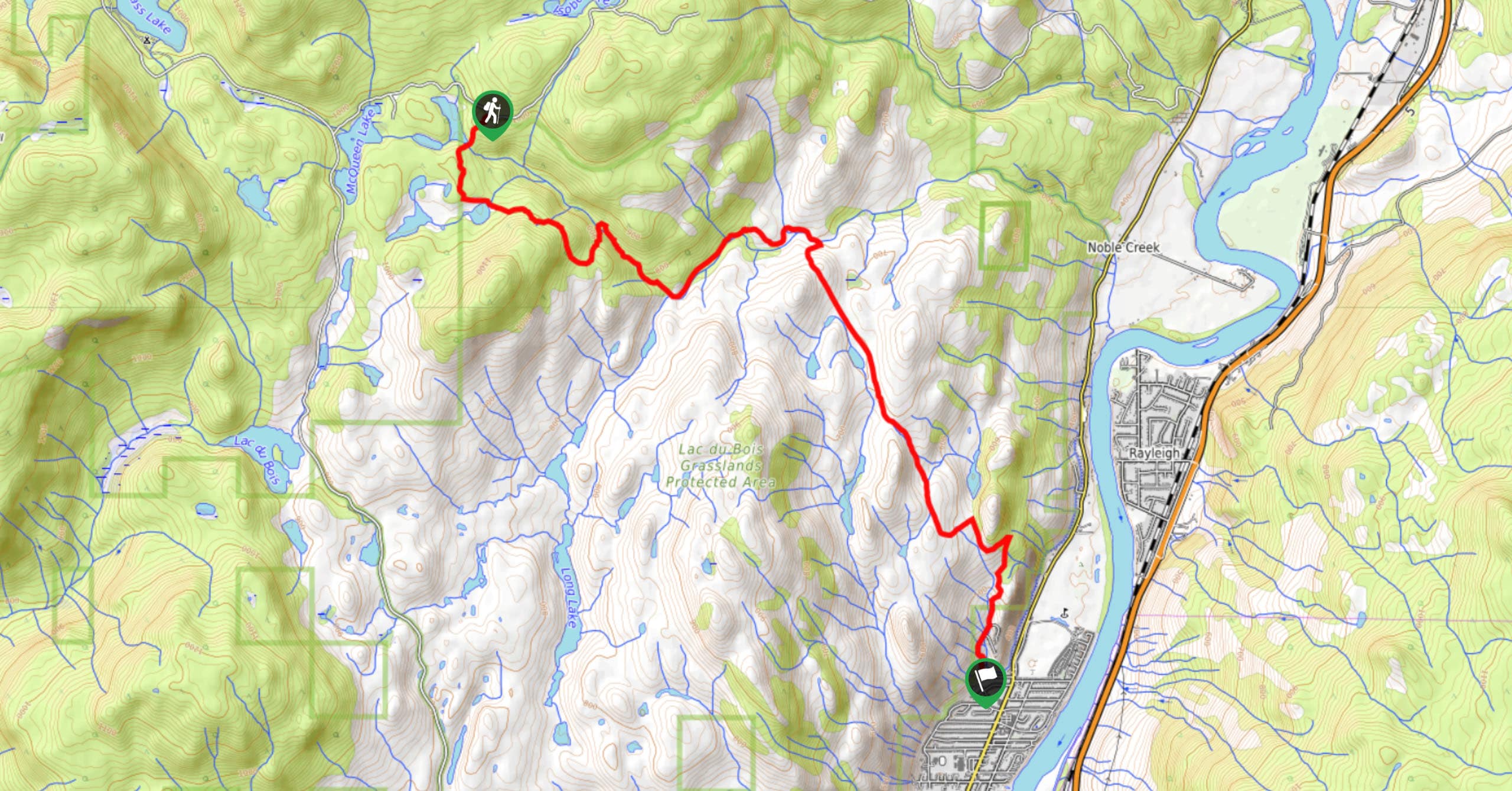
The Community Trail is a 8.3mi point-to-point hiking route just north of Kamloops, BC, that will allow you…

Lac du Bois Tower Loop
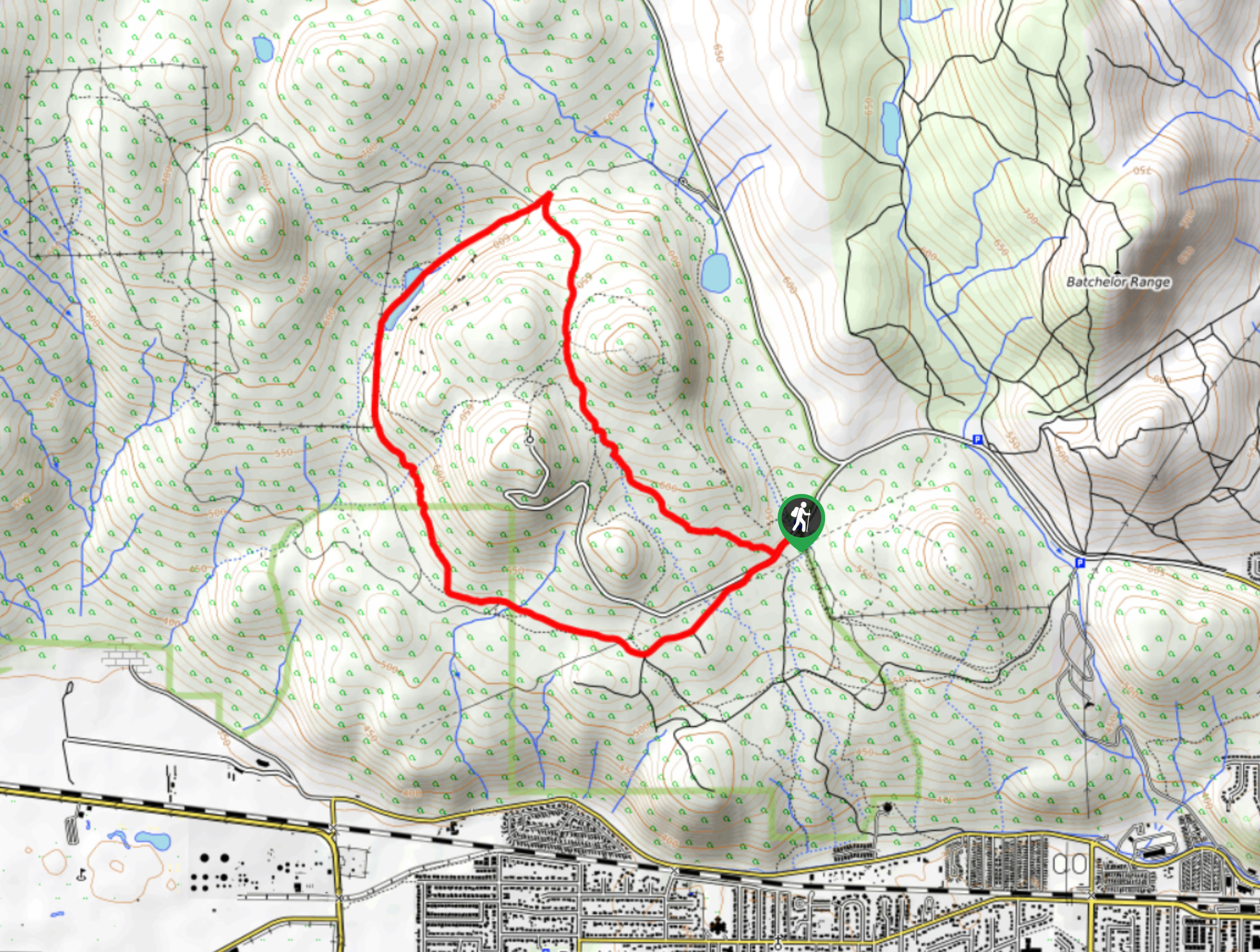
The Lac du Bois Tower Loop is a 4.0mi hiking circuit northwest of Kamloops that will allow you…

Gibraltar Rock
The trek to Gibraltar Rock follows a 2.0mi out-and-back trail that sets out from the Paul Lake Beach…


Comments