Emery Down Circular Walk
View Photos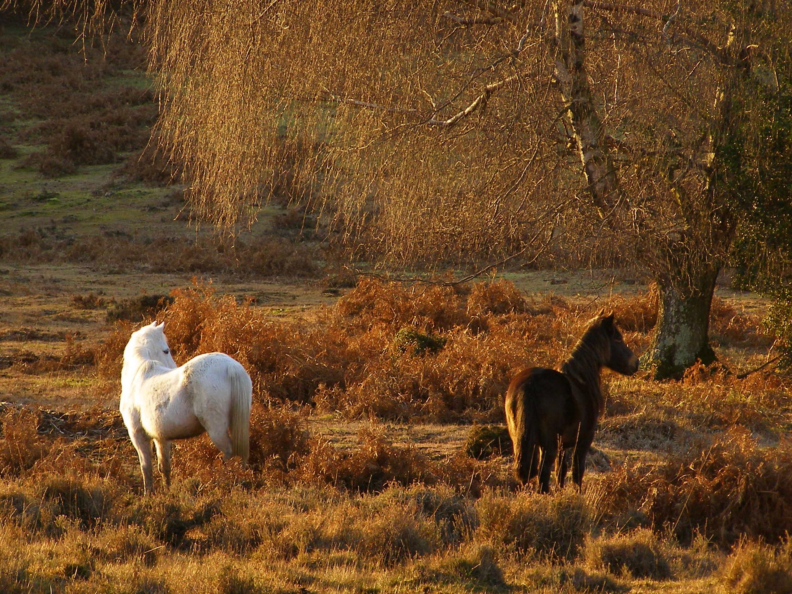
Emery Down Circular Walk
Difficulty Rating:
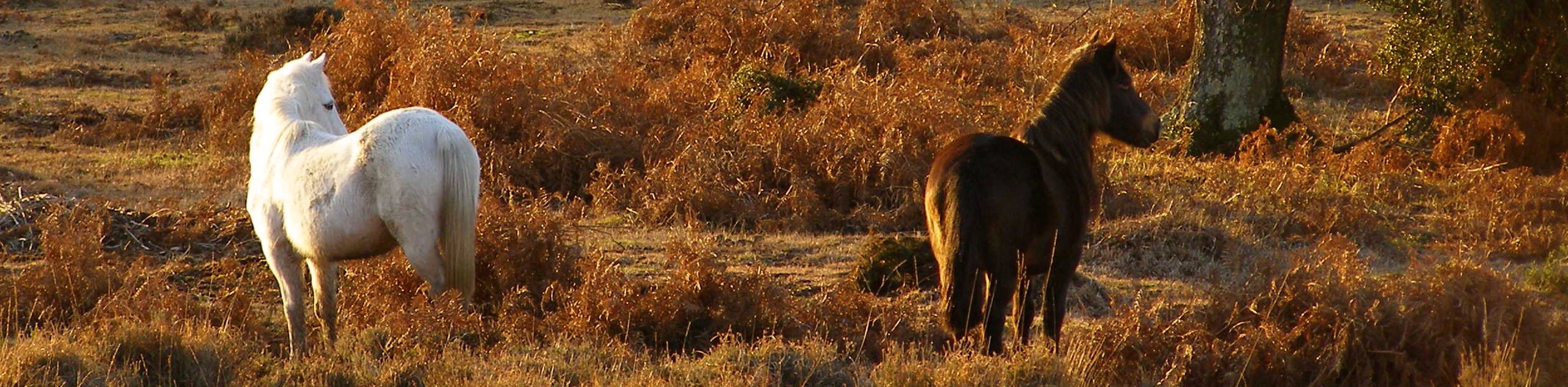
If you’re in the Lyndhurst area, the Emery Down Circular Walk is a must! This route covers verdant woods, sprawling meadows, and multiple forest streams, with plenty of wildlife to spot. The paths leading from the village of Emery Down and back again can be winding and muddy, but that shouldn’t deter you from exploring this beautiful slice of the New Forest National Park. With just enough elevation change to keep you engaged, this is a great outing for adventurers of all ages.
Getting there
To get to the Emery Down Circular Walk, head for the village of Emery Down, just west of Lyndhurst. If driving west from Lyndhurst, take a right off Bournemouth Road as you pass The Swan Inn. There’s a car park on your left, and you should be able to find more parking in the village if this is full.

About
| When to do | Year-round |
| Backcountry Campsites | No |
| Pets allowed | Yes - On Leash |
| Family friendly | Yes |
| Route Signage | Poor |
| Crowd Levels | Moderate |
| Route Type | Circuit |
Emery Down Circular Walk
Elevation Graph
Emery Down Circular Walk Description
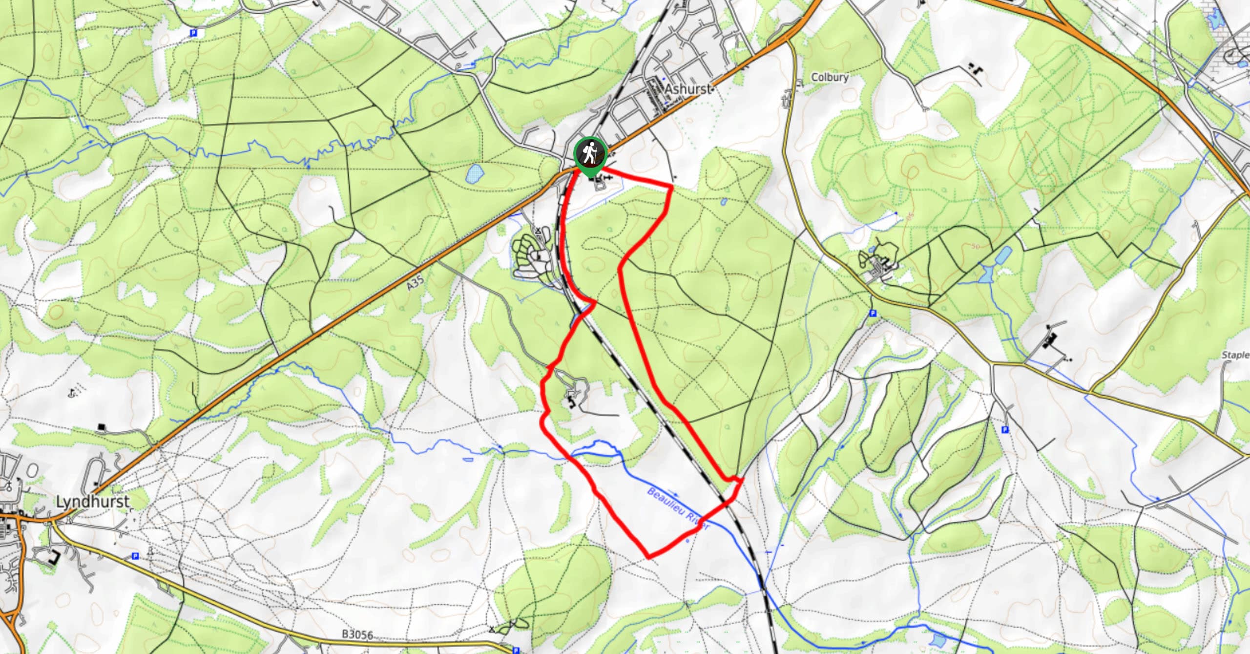
From your parking spot, follow the Minstead forest road on a northwest bearing. Approximately 1640ft past the village, you’ll spot a bridle way on your left leading into the forest. Turn onto this path, taking your first right then another left to join a longer path. Follow this as it ascends with a meadow on your left. As the path curves to the left, ignore the first opportunity to turn right, but take the second one roughly 656ft later. The bridle way turns into a footpath, but only briefly; you’ll soon see another bridleway on your left. Turn and take this as it intersects with a number of paths before curving all the way around to the left and heading on a southwest bearing. It briefly meets up with a track, but you should stay on the bridleway and continue walking south.
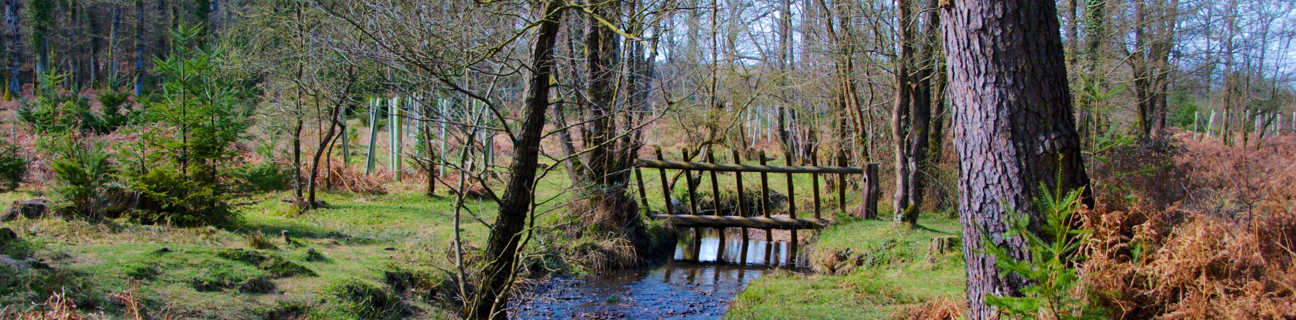
Cross a bridge over the Bagshot Gutter river, then aim left at the fork. Stay on a southern bearing as you stroll through the forest. Your path will intersect with a track, then a stream. Just under 656ft later, another intersection awaits – turn right here. This path bends to the right and approaches a road, on the other side of which is a gate. Pass through this (perhaps stopping at the adjacent Portuguese Fireplace war memorial) and continue along a track. Stay left at the triangle and follow the track all the way to the New Forest Reptile Centre.
If you’re keen on reptiles, stop for a visit – otherwise, the track continues on a southeast bearing towards the A35. To avoid the road, take a left at the intersection of paths, a footpath leading over a bridge and opening onto a bridleway. This section (known as the “Cut Walk”) will lead you roughly parallel with the A35 all the way back to Emery Down. If you’ve parked closer to the church, you can take a left at the final intersection for a more direct approach to your starting point.
Similar hikes to the Emery Down Circular Walk hike
Ashurst to Deerleap Walk
The Ashurst to Deerleap Walk makes for a fun family outing due to the gentle elevation gain and lovely moorland…
Bolderwood to Knightwood Oak Walk
The Bolderwood to Knightwood Oak Walk makes for a great option if you’re craving moody forest scenery with the potential…
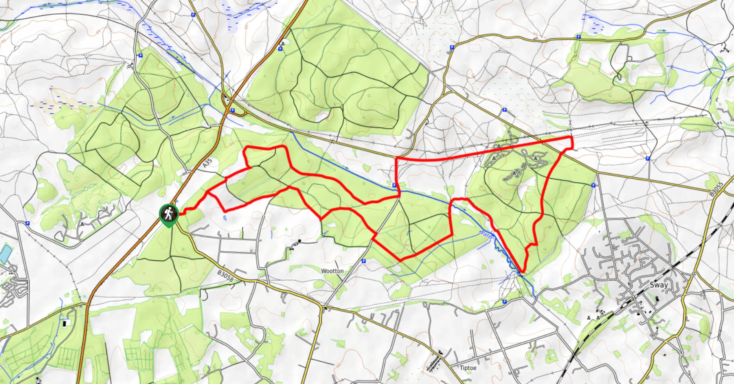
Burley and Sway Walk
The Burley and Sway Walk meanders along varied terrain, ranging from gravel and grass tracks, stream crossings, and muddy conditions.…
Comments