Broomy and Linwood Walk
View Photos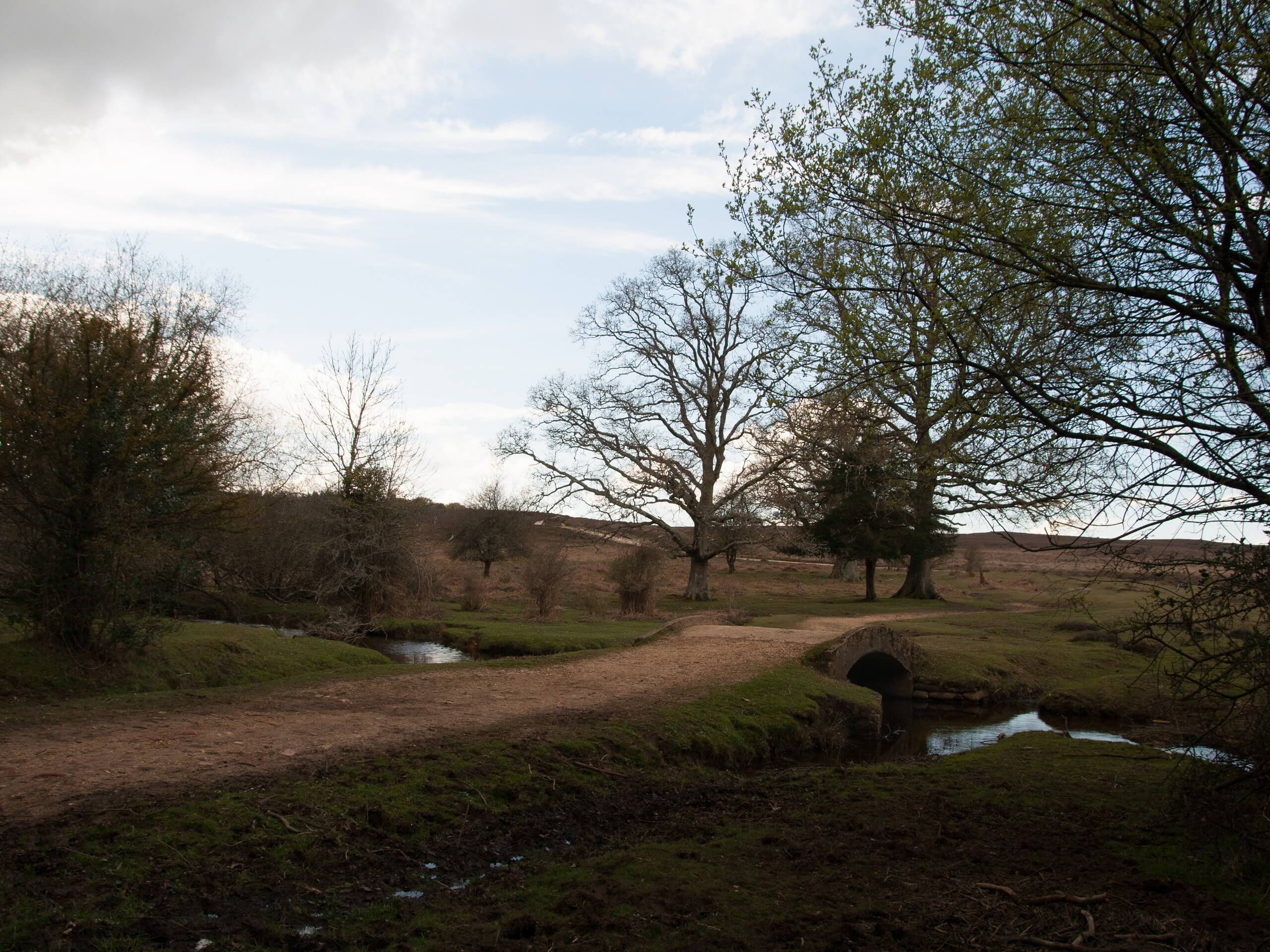
Broomy and Linwood Walk
Difficulty Rating:
The Broomy and Linwood Walk immerses you in various scenery: timeless woodland, open heathland, and farmland. Dog owners will love this walk as it’s a great one for off-lead walking. However, you will also traverse some quiet roads, requiring you to put your dog back on lead when you reach these. Look for wild ponies and donkeys peppering the terrain!
Getting there
To get to the start of the Broomy and Linwood Walk, head to Linwood and go to Ellingham, Harbridge and Ibsley, where you’ll park your car.

About
| Backcountry Campground | No |
| When to do | Year-round |
| Pets allowed | Yes |
| Family friendly | Yes |
| Route Signage | Average |
| Crowd Levels | Moderate |
| Route Type | Circuit |
Broomy and Linwood Walk
Elevation Graph
Weather
Broomy and Linwood Trail Description
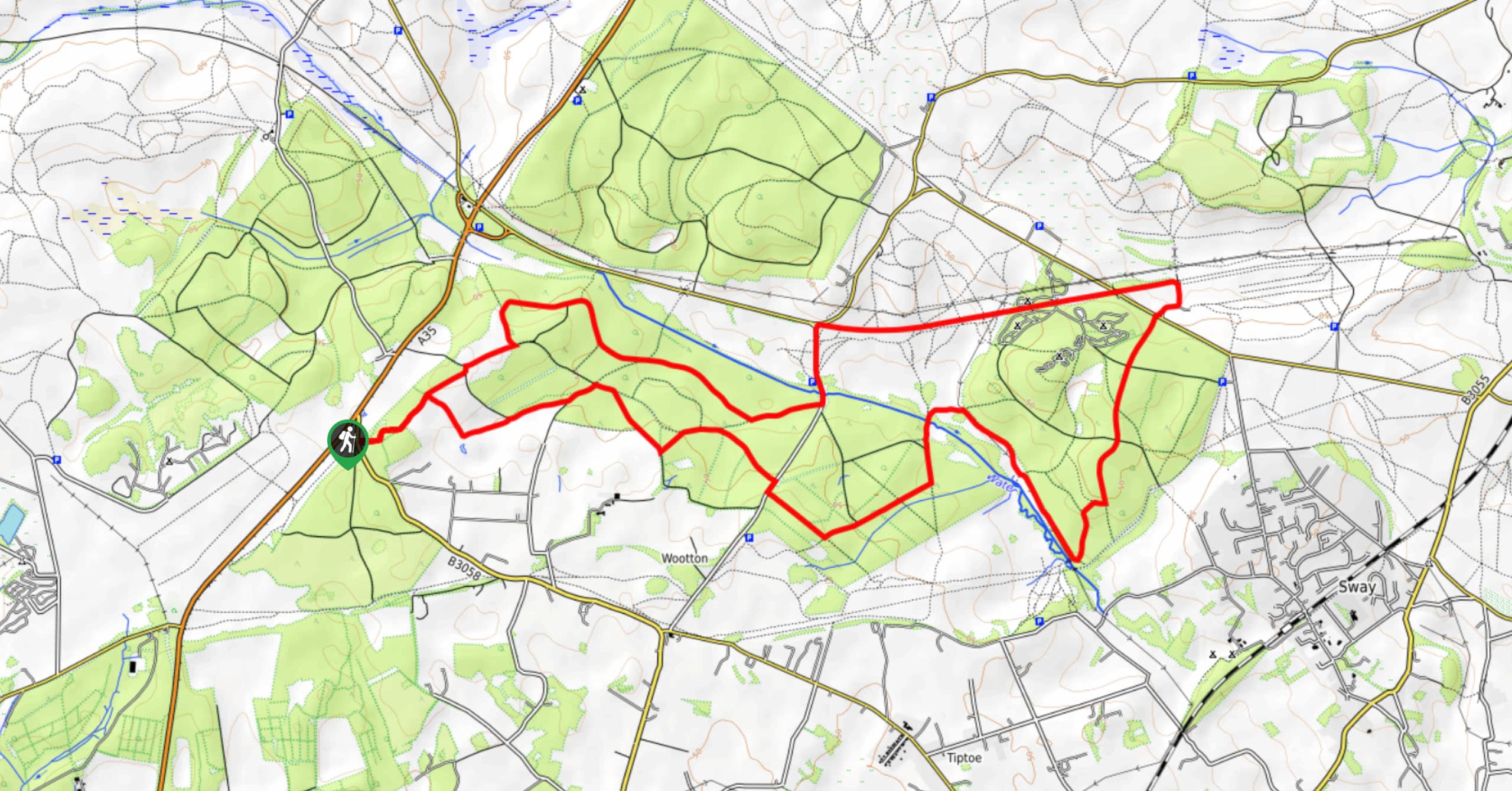
The Broomy and Linwood Walk is a fantastic adventure if you’re looking for ever-changing scenery, ranging from open heathland, ancient forest and woodland, and farmland. Dog lovers will also appreciate that their canine companion can explore off-lead, but you’ll need to call your pup back when you reach the quiet roads along this route. (And there are longer road sections on this route.) Donkeys and ponies are roaming around as well, so ensure your dog stays relatively close to you as you make your way around this 5.4mi loop.
Setting out from your car, you’ll head toward the Broomy Inclosure first before travelling through farmland. After going by some farms, you’ll reach the dog-friendly Red Shoot Inn. Stop here for some refreshments with your pup before continuing through Linwood and a lovely forest setting. Eventually, you’ll get back to your car, where the walk began.
Similar hikes to the Broomy and Linwood Walk hike
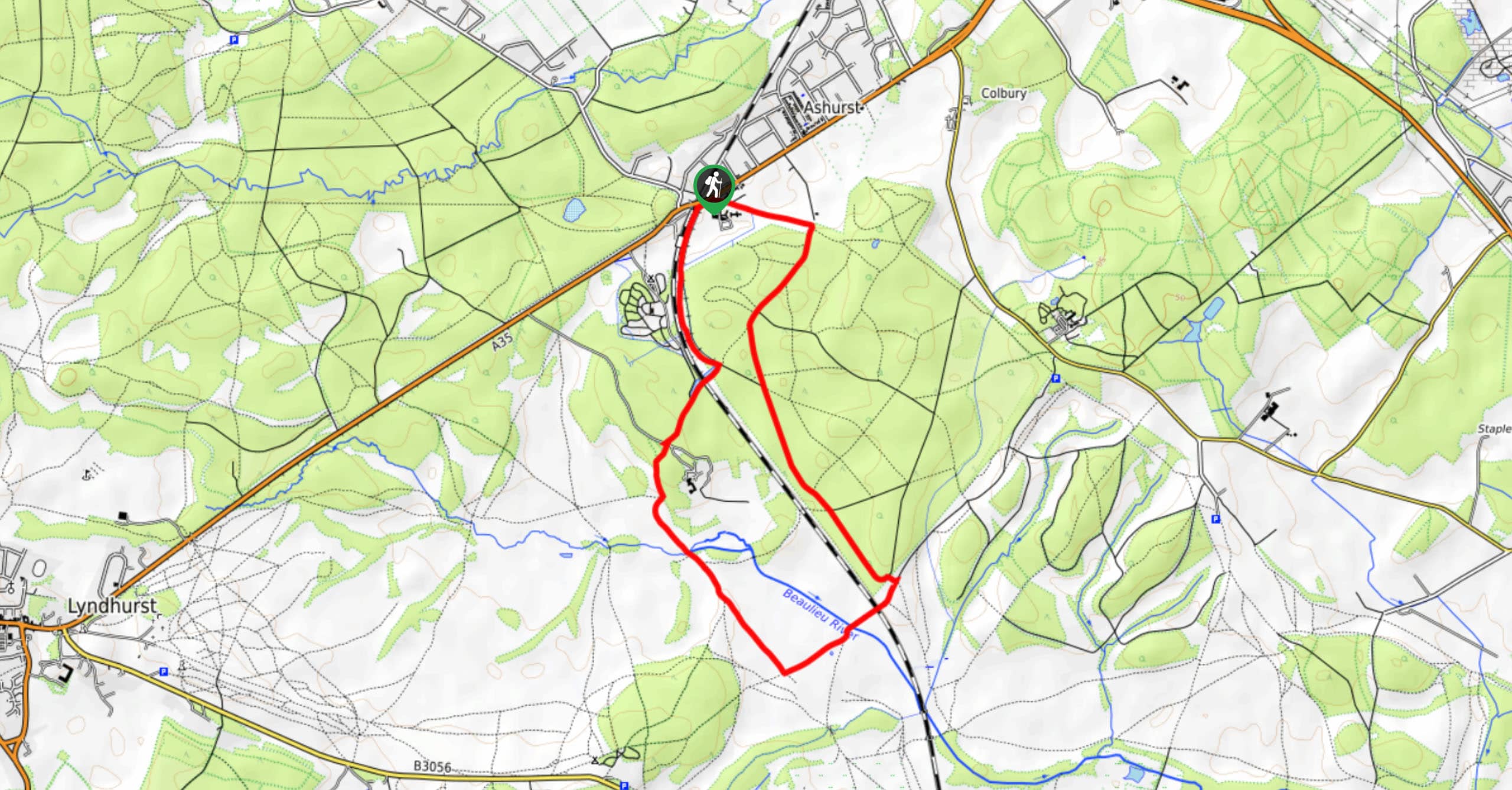
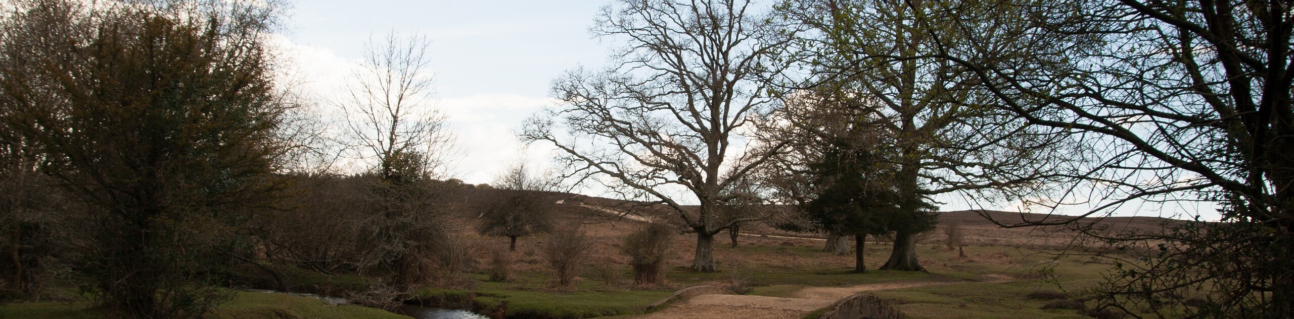
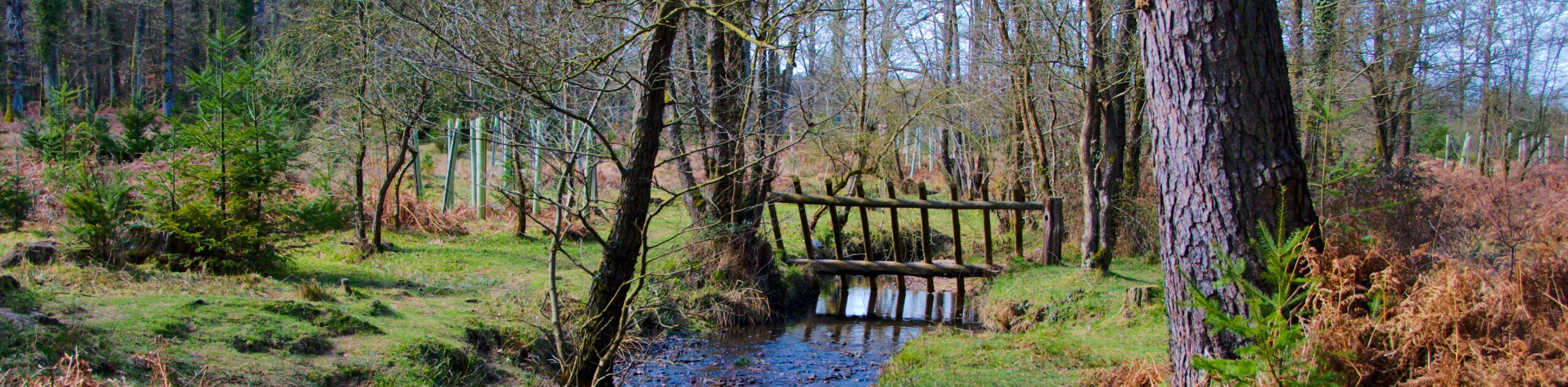
Ashurst to Deerleap Walk
The Ashurst to Deerleap Walk makes for a fun family outing due to the gentle elevation gain and lovely moorland…
Bolderwood to Knightwood Oak Walk
The Bolderwood to Knightwood Oak Walk makes for a great option if you’re craving moody forest scenery with the potential…
Burley and Sway Walk
The Burley and Sway Walk meanders along varied terrain, ranging from gravel and grass tracks, stream crossings, and muddy conditions.…
Comments