
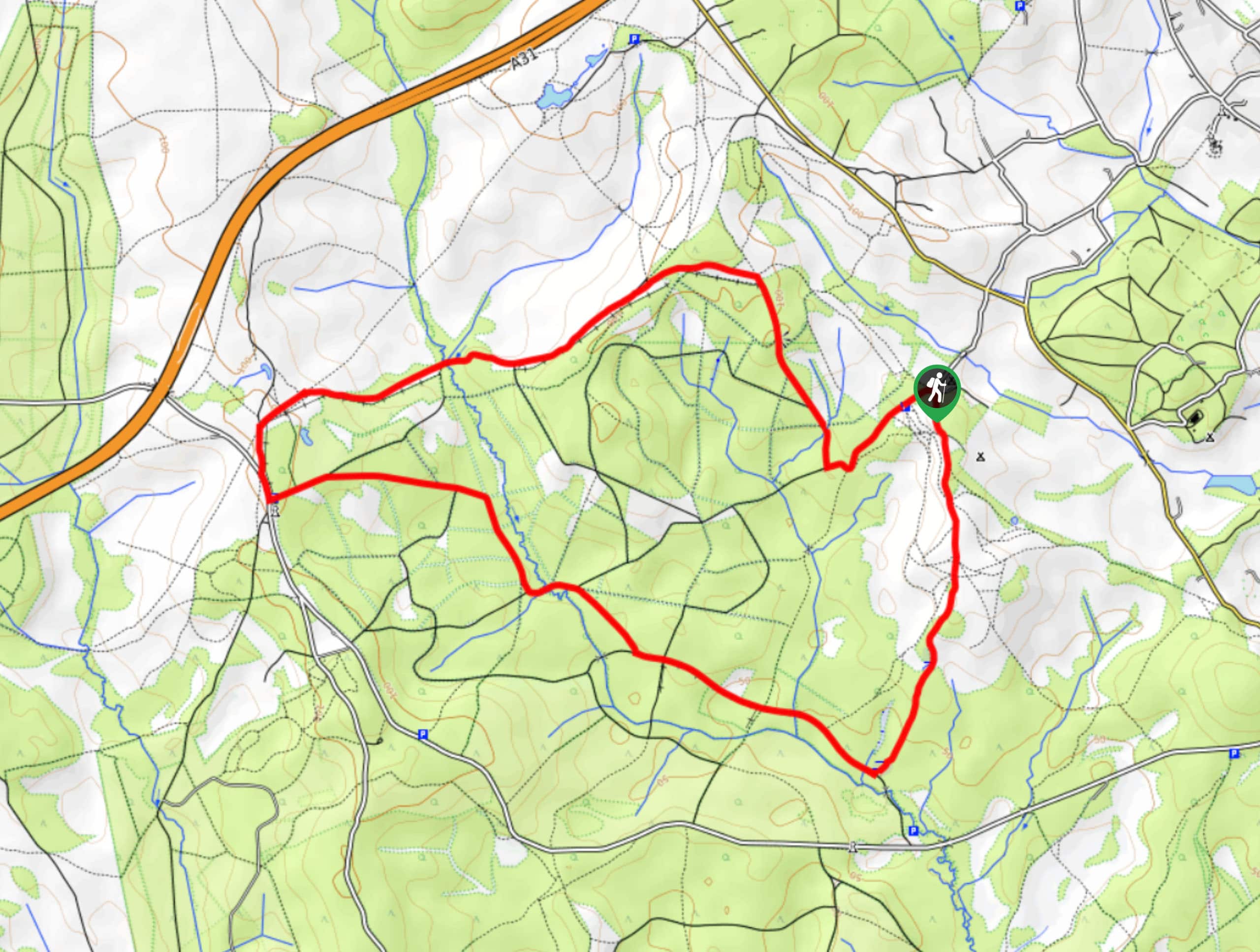
Acres Down and Canadian War Memorial
View Photos
Acres Down and Canadian War Memorial
Difficulty Rating:
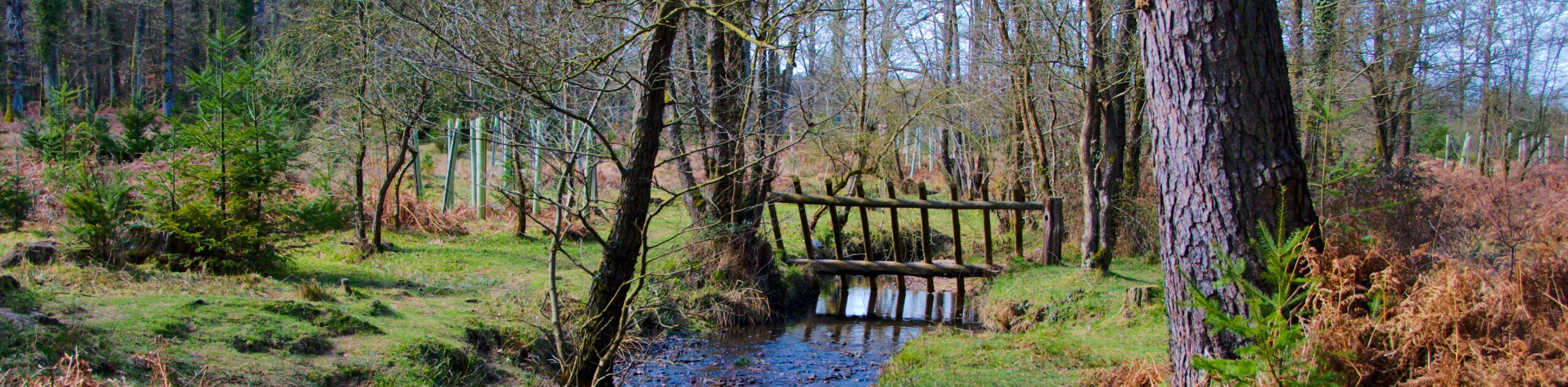
The Acres Down and Canadian War Memorial Walk is a fun walk that offers varied scenery, ranging from forest to grassy paths to streams. You may see a horse or two as well! The paths along this route are generally easy to follow due to the lack of bogs! Kids will enjoy this one, too—if they are big enough to handle the 5.8mi distance.
Getting there
To get to the start of the Acres Down and Canadian War Memorial Walk, head to the Acres Down Dog Walk from Lyndhurst via the A35.

About
| Backcountry Campground | No |
| When to do | Year-round |
| Pets allowed | Yes - On Leash |
| Family friendly | Yes |
| Route Signage | Average |
| Crowd Levels | Moderate |
| Route Type | Circuit |
Acres Down and Canadian War Memorial
Elevation Graph
Weather
Acres Down and Canadian War Memorial Walk Description
The Acres Down and Canadian War Memorial Walk takes you along an easy-to-follow route with a lack of bogs and stiles. You will have to negotiate some gates and cross over some bridges, but it’s nothing too crazy. However, during wetter months of the year, like most walks in England, sections of the path can get muddy, so come prepared with proper footwear. On that same note, this is a good path for winter walking as the mud doesn’t get too intense. If you want to make sure you follow the exact route mapped out, we suggest bringing a GPS along as you will pass some forks and junctions.
Similar hikes to the Acres Down and Canadian War Memorial hike
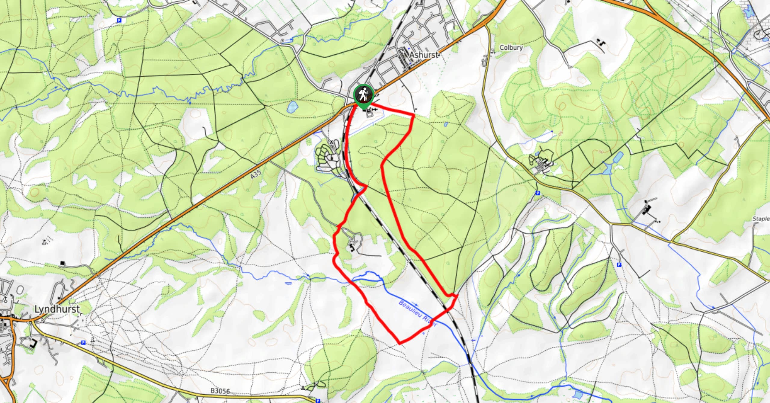
Ashurst to Deerleap Walk
The Ashurst to Deerleap Walk makes for a fun family outing due to the gentle elevation gain and lovely moorland…
Bolderwood to Knightwood Oak Walk
The Bolderwood to Knightwood Oak Walk makes for a great option if you’re craving moody forest scenery with the potential…
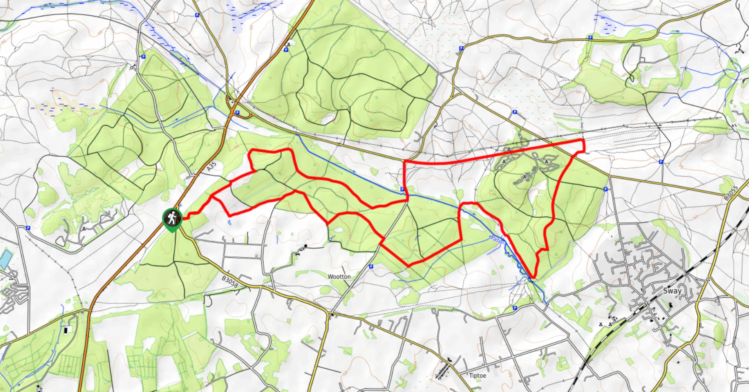
Burley and Sway Walk
The Burley and Sway Walk meanders along varied terrain, ranging from gravel and grass tracks, stream crossings, and muddy conditions.…
Comments