
Mount Prevost Trail
View Photos
Mount Prevost Trail
Difficulty Rating:
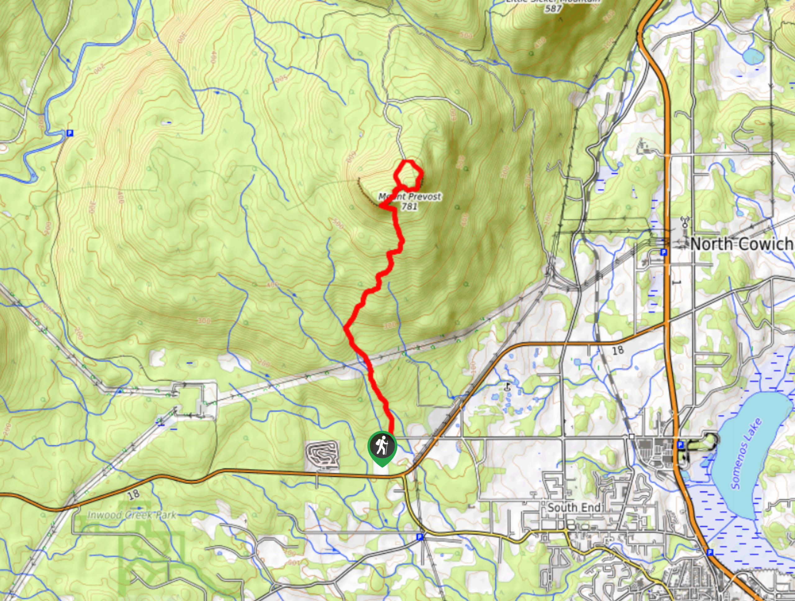
The trek up Mount Prevost follows an 7.4mi lollipop hiking route that climbs uphill along Bings Creek to reach an amazing viewpoint from the rocky summit of the mountain. Along the trail, you will hike through a beautiful stretch of forest and follow along the rushing waters of the creek before turning northeast for a light scramble to the summit. Although challenging, this hike is not overly technical, and there are ropes installed near the summit to help hikers reach the top of the peak.
Getting there
To access the Mount Prevost trailhead from Duncan, drive northwest on BC-1 for 2.2mi and turn left onto Cowichan Valley Highway/BC-18. After 2.2mi, turn right on Drinkwater Road, and follow it for 2133ft to reach the trailhead.

About
| When to do | May-November |
| Backcountry Campsites | No |
| Pets allowed | Yes - On Leash |
| Family friendly | No |
| Route Signage | Average |
| Crowd Levels | Moderate |
| Route Type | Lollipop |
Mount Prevost Trail
Elevation Graph
Weather
Mount Prevost Trail Description
With steep forested trails and a rocky push up to the summit viewpoint, the Mount Prevost trail is a fantastic hiking route south of Nanaimo that will allow you to enjoy a commanding view over the breathtaking Vancouver Island landscape. The trail sets out from the parking area and heads north alongside the flowing water of Bings Creek through stretches of scenic forest and open clearings. As you approach the base of the mountain, the trail will deviate away from the creek and turn northeast to begin a much steeper climb uphill. Working your way up to the summit of Mount Prevost, there will be some rope installations to help you traverse the rocky terrain. Once at the mountaintop lookout, you will have an amazing sightline that sweeps across the vibrant green and rugged terrain of southern Vancouver Island. Work your way around the loop at the summit to descend along the backside of the mountain and meet back up with the main trail. From there, you can retrace your steps along Bings Creek to return to the trailhead.
Similar hikes to the Mount Prevost Trail hike
Benson Creek Falls Trail
The Benson Creek Falls trail is a 1.8mi out-and-back hiking route near Nanaimo, BC, that will lead you…
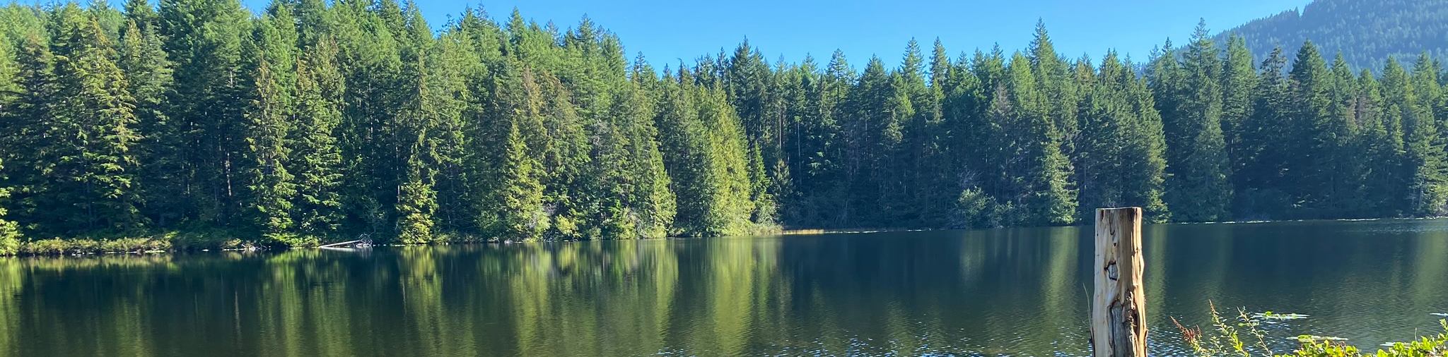
Heart Lake Loop Trail
The Heart Lake Loop Trail is a 6.3mi lollipop hiking route in Ladysmith, BC, that climbs uphill along…
Holland Creek Trail
The Holland Creek Trail is a 4.1mi hiking circuit in Ladysmith, BC, that loops around the banks of…
Comments