
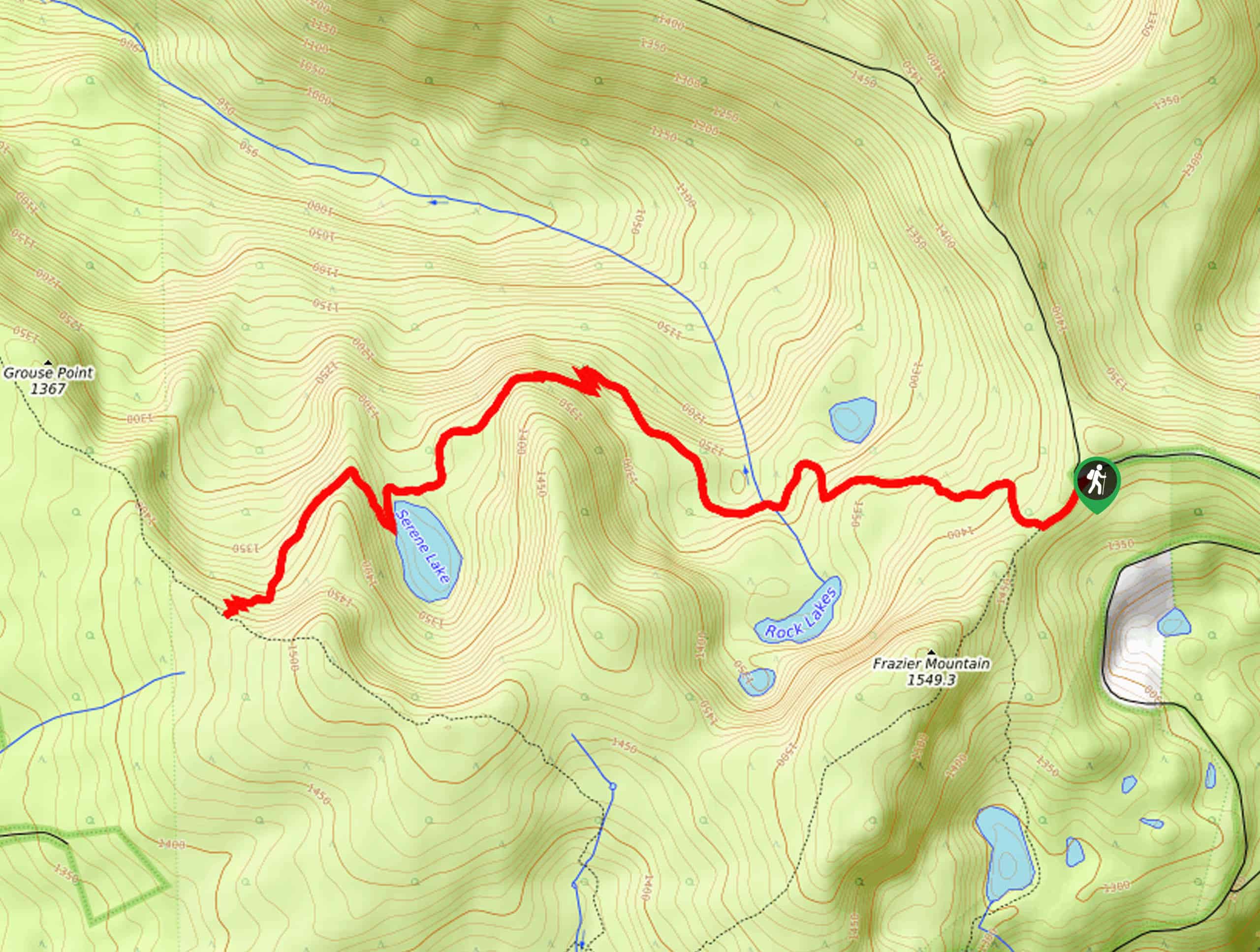
Serene Lake Trail
View Photos
Serene Lake Trail
Difficulty Rating:
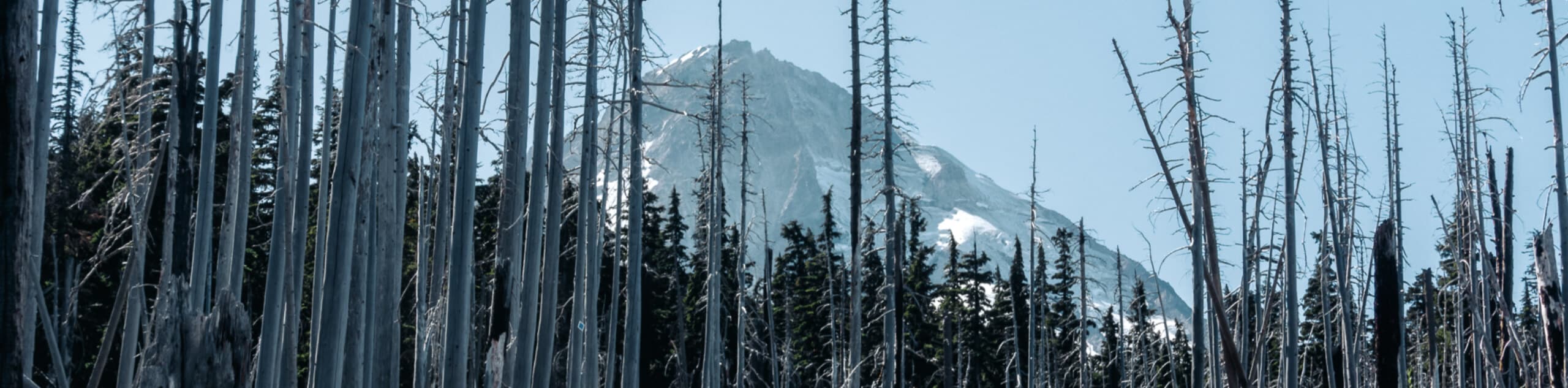
The Serene Lake Trail is a wonderfully scenic, albeit buggy, hiking route in Mount Hood National Forest that features a beautiful woodland setting and pristine lake views. While out on the trail, you will climb uphill through the forest, steadily gaining elevation on the way to the shores of Serene Lake that are surrounded by rugged mountains and swathes of trees. Please note that you will need a high clearance vehicle, preferably with 4-wheel drive in order to reach the trailhead, as the road is very rugged.
Getting there
The trailhead for this hike can be found on NF-240, just west of a junction with NF-58.

About
| Backcountry Campground | Serene Lake |
| When to do | June-October |
| Pets allowed | Yes - On Leash |
| Family friendly | Older Children only |
| Route Signage | Average |
| Crowd Levels | Moderate |
| Route Type | Out and back |
Serene Lake Trail
Elevation Graph
Weather
Serene Lake Trail Description
As mentioned above, spending the day on the Serene Lake Trail will require a high clearance vehicle to reach the trailhead and plenty of bug spray to fight off unwelcomed hiking companions. These minor inconveniences aside, it is a fantastic hike that showcases the beauty of Mount Hood NF!
Setting out from the trailhead, you will make your way to the west through the tree cover, descending slightly through the Rock Lakes Basin in order to cross over the South Fork Roaring River. On the opposite side, the trail will bend slightly to the northwest as you work around the slope of a hill.
Here, the trail will turn to the southwest on the approach to Serene Lake, where you will find campsites and picnic areas if you plan on spending a few hours (or days) in the area. If not, continue along the trail as it climbs uphill through the tree cover to the southwest, eventually meeting up with the endpoint of the trail at a junction with the Grouse Point Trail. From here, simply turn back along the trail and retrace your steps to return to the trailhead where you began.
Similar hikes to the Serene Lake Trail hike
Tilly Jane Trail
The Tilly Jane Trail is a challenging hiking route in Mount Hood National Forest that climbs uphill through woodlands and…
Umbrella and Sahale Falls Hike
The Umbrella and Sahale Falls Hike is the perfect adventure in Mount Hood National Park for those who enjoy scenic…
Bald Butte Trail
The Bald Butte Trail is a wonderful outdoor adventure that showcases some of the exceptional terrain and beautiful views within…
Comments