
Ridley Creek Trail
View Photos
Ridley Creek Trail
Difficulty Rating:
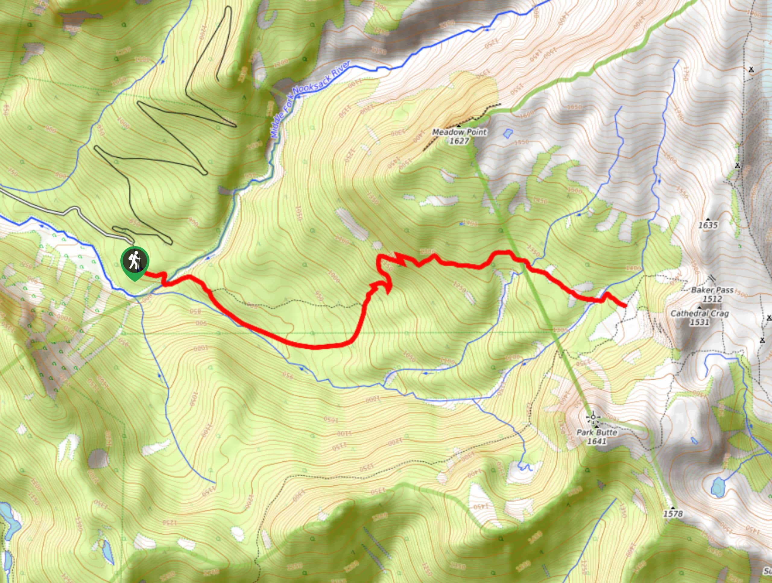
Ridley Creek Trail is a 7.7mi out and back hike in the Mount Baker Wilderness. This trail is challenging for a few reasons, but it’s a fabulous adventure for strong hikers. You’ll need to work hard on steep ascents, make unstable creek crossings, and find your way over downed trees. The reward is that you’ll often get the views all to yourself.
Getting there
The trailhead for Ridley Creek Trail is at the end of Forest Road 38.

About
| Backcountry Campground | No |
| When to do | May-October |
| Pets allowed | Yes |
| Family friendly | Yes |
| Route Signage | Average |
| Crowd Levels | Moderate |
| Route Type | Out and back |
Ridley Creek Trail
Elevation Graph
Weather
Ridley Creek Trail Description
Ridley Creek Trail is an adventurous hike with a bit of everything involved: creek crossings, downed trees, steep climbs, and awesome views. This route is a good fit for intermediate or better hikers as you’ll need to climb over downed trees, complete steep sections, and cross a creek without a formal bridge.
From the trailhead, hike east to the creek. There’s no bridge here, but a helpful hiker previously roped together some logs to form a makeshift bridge. Be careful as you cross. You’ll hike across the end of the valley and climb the valley wall on your left. This is a steep climb with lots of switchbacks.
Once you’re atop the wall, hike ahead towards Cathedral Crag. The trail terminated at a T-junction, but you can use the connecting trails to keep exploring if you want. Otherwise, retrace your steps back to the trailhead.
Similar hikes to the Ridley Creek Trail hike

Twin Lakes Trail
Twin Lakes Trail is a 14.7mi hike in the Mount Baker Wilderness that leads you to two picturesque…
Racehorse Falls Loop
The Racehorse Trail Loop is an easy hike to a pretty waterfall that cascades over several tiers. The hike to…
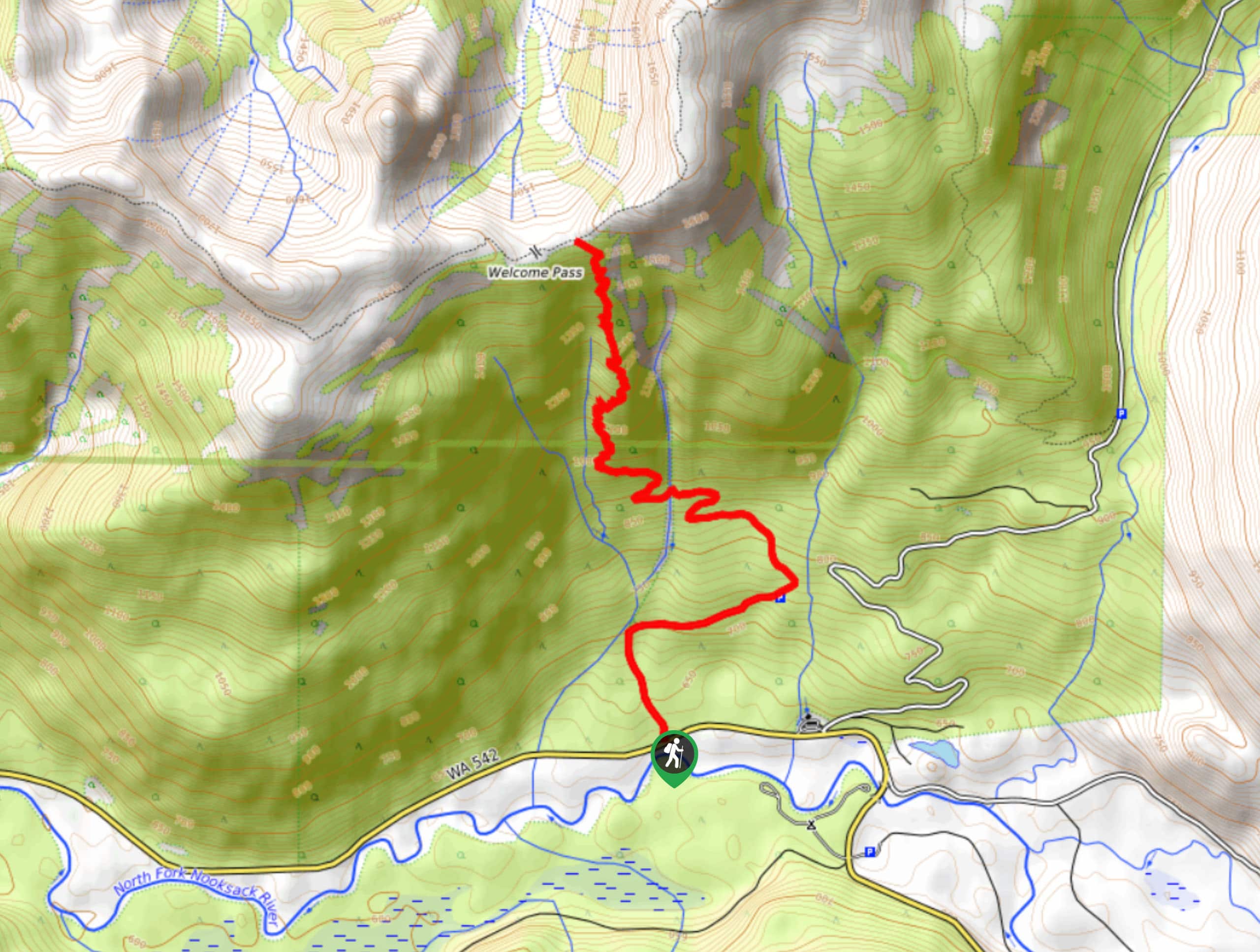
Welcome Pass Hike
The hike to Welcome Pass on High Divide Trail offers fantastic views of the surrounding mountains and lakes too numerous…
Comments