Park Butte Lookout Trail
View Photos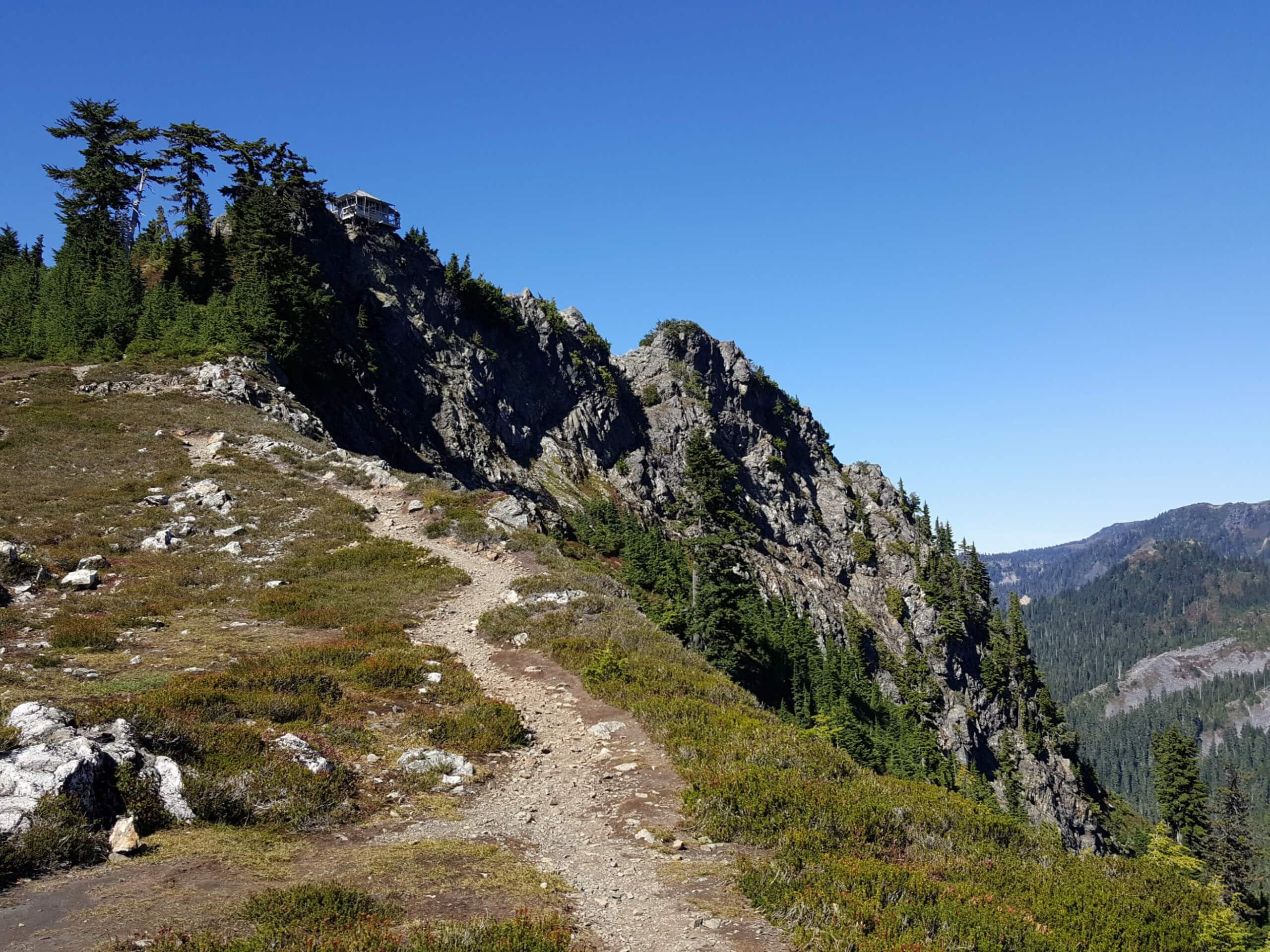
Park Butte Lookout Trail
Difficulty Rating:
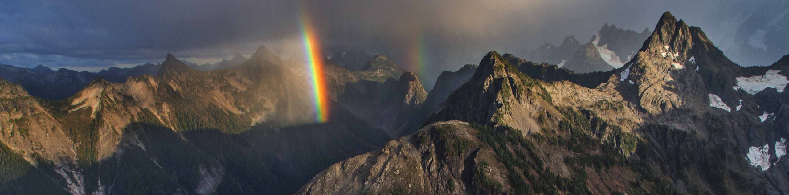
The Park Butte Lookout Trail is a beautiful trail that leads to a historic fire lookout. You’ll have unobstructed views of Mount Baker and the Twin Sisters from this perch. Not only that, but the route there is flanked by waterfalls and wildflower meadows. It’s a hike that captures the beauty of Washington State and the Cascades.
This route is moderately difficult. The distance and elevation gain are both manageable for most stronger beginners. Younger children may struggle a bit, but active families should be able to make it to the top. Lots of campers come to Park Butte to stay the night. While you can camp in the lookout, it’s first come, first served.
Getting there
The trailhead for the Park Butte Lookout Trail is on Forest Road 13.

About
| Backcountry Campground | Various backcountry |
| When to do | July-October |
| Pets allowed | Yes - On Leash |
| Family friendly | Older Children only |
| Route Signage | Average |
| Crowd Levels | High |
| Route Type | Out and back |
Park Butte Lookout Trail
Elevation Graph
Weather
Park Butte Lookout Trail Description
Park Butte Lookout is the place to be for panoramic views of Mount Baker. This historic fire lookout sits at 5400ft of elevation, but the journey to reach it is almost as good as the destination. You’ll hike past pretty Pocket Lake and through the Morovitz Meadows, which enjoy an expansive view of their own. This delightful trail is one you’ll want to revisit again and again.
Park Butte Lookout is a popular camping spot. There are backcountry sites along the trail at different points, and campers race to the lookout each weekend to claim their camping spot. The lookout is first come, first served. If you plan to camp in it, you’ll need to welcome the day’s visitors in until nightfall.
Families who might not be able to make the entire trip may enjoy hiking to Schrieber’s Meadow and then turning around. This makes for a nice two-miler with satisfying views.
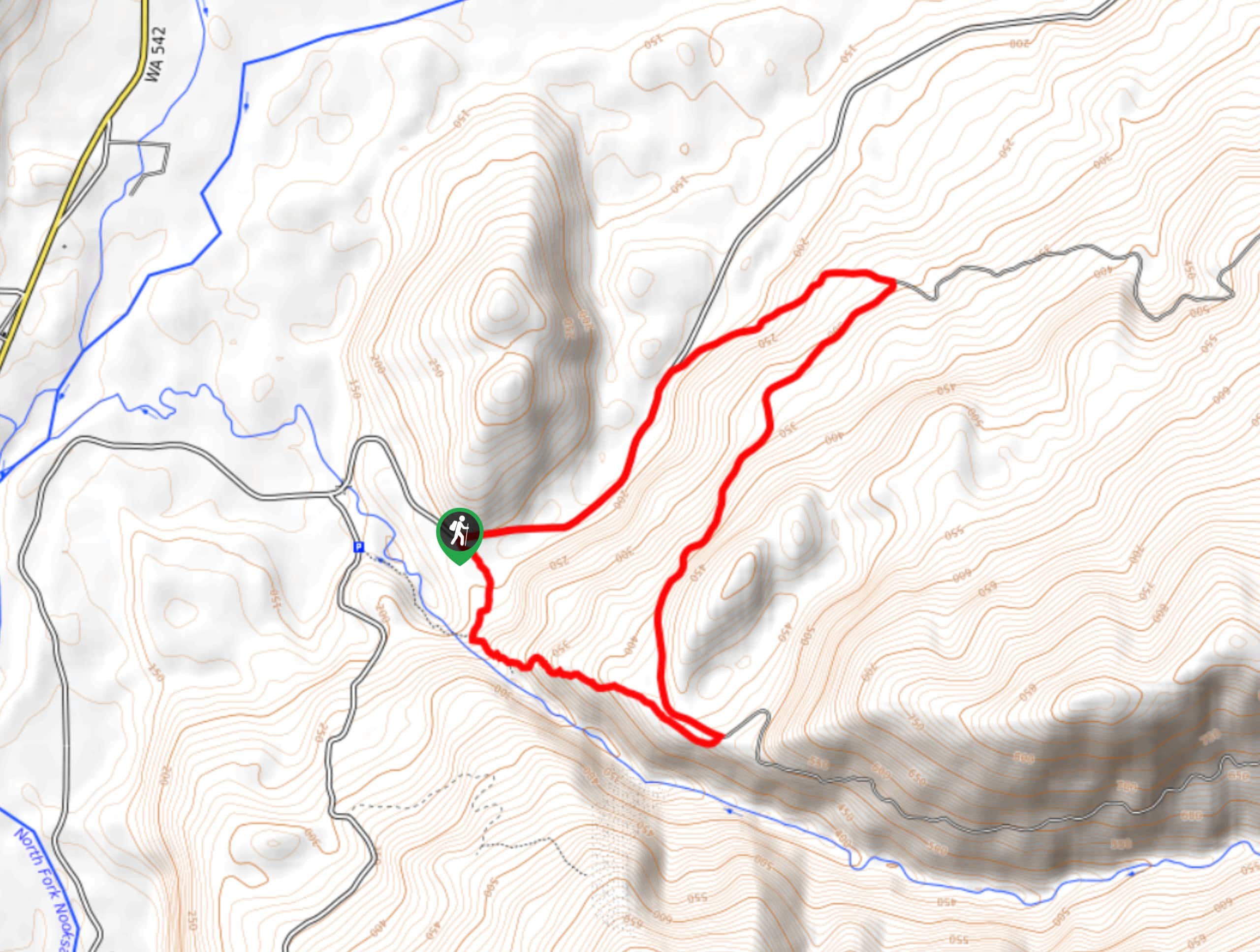
From the trailhead, take the trail west. You’ll cross Sulphur Creek on a bridge early on in the hike. At the junction about 0.1 miles in, stay left.
Stroll through a gorgeous alpine meadow. In the summer you’ll be treated to flowers, and in the autumn, berries aplenty! Snack as you go.
Climb gently, waterfalls rushing just to your right. You’ll hike through more meadow. It can be wet in here, and ongoing trail maintenance keeps the route passable. At 0.7mi, you’ll cross Rocky Creek and hike through a boulder field. Watch for cairns.
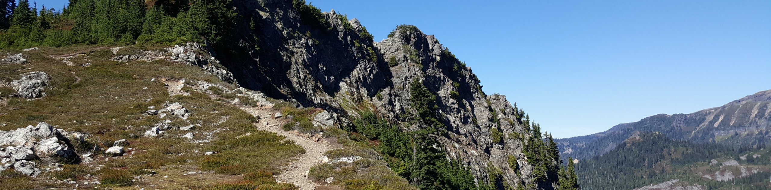
You’ll hike through old-growth forest next, where the trail becomes a bit steeper. Switchback your way through the forest to another junction, where you’ll stay left.
Enter Morovita Meadow, which has an astounding view of Mount Baker. Stay left again at the next junction to climb to Bell Pass Junction. Keep left again and climb over rocks, passing small lakes. The prettiest of these is Pocket Lake, which reflects Mount Baker on calm days.
At the lookout, check out the structure, which was built in the 1930s. Sign the register and spend some time appreciating the marvelous view.
When you’re ready, you’ll return the same way you came up.
Hiking Route Highlights
Mount Baker
Mount Baker is a 10781ft active stratovolcano that dominates the skyline of the North Cascades. The glacier-clad mountain is the second-most thermally active volcano in the Cascades after Mount Saint Helens. It was called Koma Kulshan by native tribes, which means “Great White Watcher.”
Frequently Asked Questions
Can you stay at Park Butte Lookout?
Yes, but it’s first come, first served. Arrive early if you want to camp in the lookout.
Do you need a permit to camp at Park Butte?
Yes, but the permits are free.
Insider Hints
A Northwest Forest Pass is required for this hike.
You can’t camp by the small lakes near the top of this hike because of the fragility of the ecosystem.
Similar hikes to the Park Butte Lookout Trail hike
Twin Lakes Trail
Twin Lakes Trail is a 14.7mi hike in the Mount Baker Wilderness that leads you to two picturesque…
Racehorse Falls Loop
The Racehorse Trail Loop is an easy hike to a pretty waterfall that cascades over several tiers. The hike to…
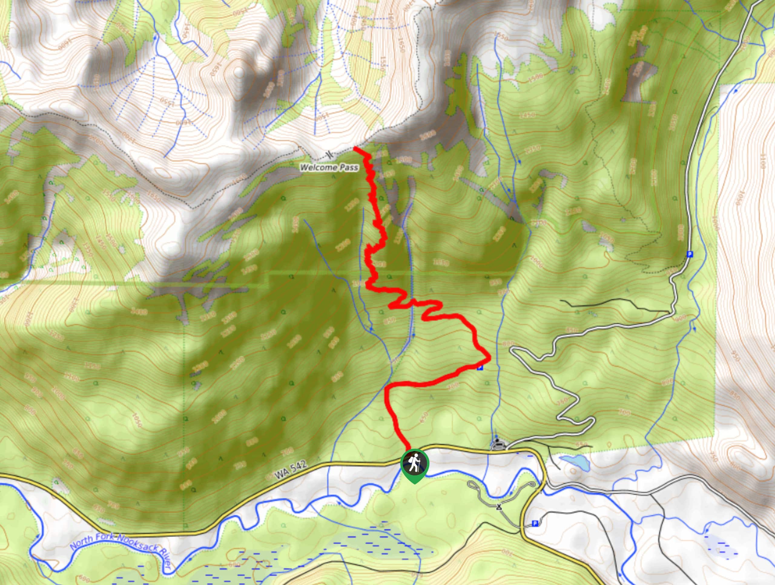
Welcome Pass Hike
The hike to Welcome Pass on High Divide Trail offers fantastic views of the surrounding mountains and lakes too numerous…
Comments